Published September 20, 2013 03:11PM
San Diego: PCT to Kitchen Creek Falls
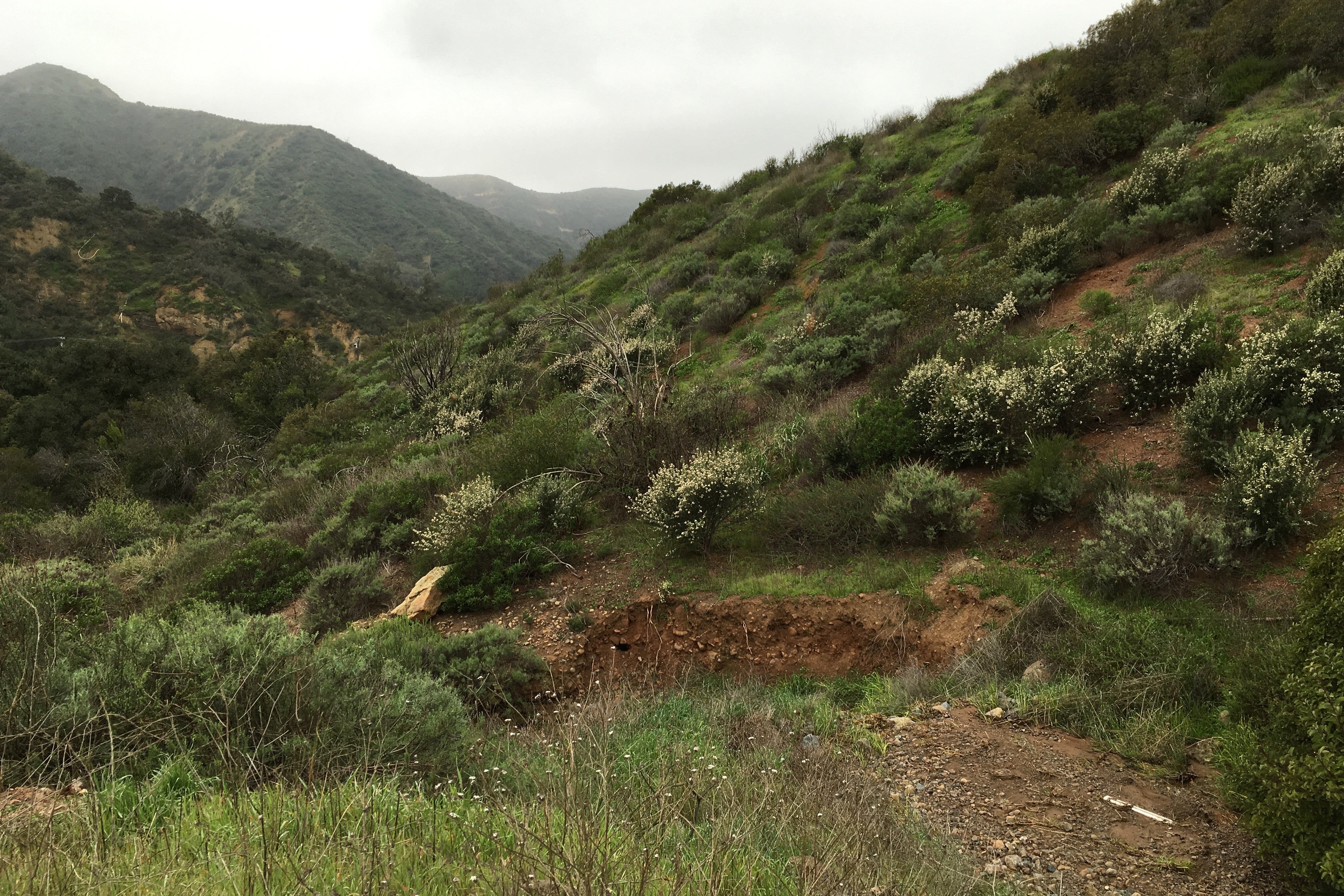
Hike a chaparral-covered slope in Cleveland National Forest to a view of Mexico. Then cool off at the falls, a series of cascades and swimming holes alongside smooth granite boulders.
'manzanita dictionary'
Trail Facts
- Distance: 11.9
- Miles from city center: 50
Waypoints
KCF001
Location: 32.7319259643555, -116.483413696289
Cross road to Pacific Crest Trail marker, head L
KCF002
Location: 32.7284622192383, -116.474449157715
L @ 3-way uphill
KCF003
Location: 32.7476692199707, -116.451194763184
Straight @ 4-way with paved Kitchen Creek Rd.
KCF004
Location: 32.7715911865234, -116.438980102539
Straight @ 4-way with Fred Canyon Rd.
KCF005
Location: 32.7806930541992, -116.437515258789
Ridge Top and turnaround spot. The farthest hills to the SE are in Mexico, 20 mi. away
KCF006
Location: 32.7408981323242, -116.465507507324
R @ 3-way onto unmarked trail to falls; straight to return to car (to hike directly to falls from trailhead, turn L here @ 1.99 mi.)
KCF007
Location: 32.7425308227539, -116.465438842773
L @ 3-way downstream
KCF008
Location: 32.7429962158203, -116.466186523438
Top of falls area; L to scramble to view of the big falls, a 40-ft. drop into a series of pools; R to swimming hole
KCF009
Location: 32.7432479858398, -116.466117858887
ADVERTISEMENT
Creek side at small falls and swimming hole; backtrack to PCT to complete 12.6-mi. hike