San Diego: Dripping Springs Trail


Trail Facts
- Distance: 10.3
Waypoints
DST010
Location: 33.4166793823242, -116.989799499512
Trail ends; grassy oak grove provides potential campsite; backtrack home
DST001
Location: 33.4581985473633, -116.970802307129
Trailhead for Dripping Springs and Wild Horse Trails; cross Arroyo Seco Creek, following Dripping Springs Trail
DST002
Location: 33.4572792053223, -116.970901489258
Hike into the low-slung redshank and manzanita of the 15,933-acre Agua Tibia Wilderness
DST003
Location: 33.456371307373, -116.971496582031
Bear R onto Dripping Springs Trail
DST004
Location: 33.4509010314941, -116.977096557617
Tiny, bivy-sized backcountry campsite located in spotty shade to E
DST005
Location: 33.4494895935059, -116.978500366211
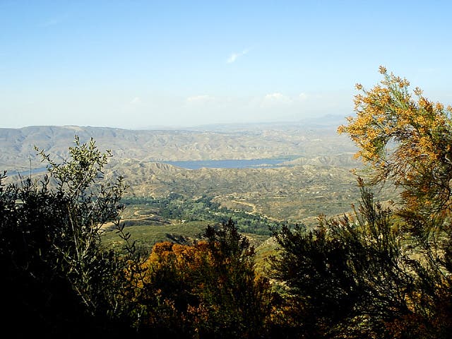
First views to N of the crooked fingers of Vail Lake and sloping folds of the San Bernardino Mountains beyond
DST006
Location: 33.4481201171875, -116.979301452637
Trail continues a steady, shadeless ascent through chaparral
DST007
Location: 33.4474906921387, -116.978698730469
Trail braids. Minimize impact by following main trail switchback to L
DST008
Location: 33.4375610351562, -116.973098754883
Cross intermittent, offshoot creekbed of Arroyo Seco
DST009
Location: 33.4272804260254, -116.978302001953
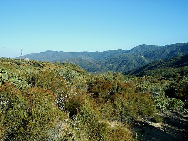
Trail flattens into scrubland; Palomar Observatory visible along ridge to SE
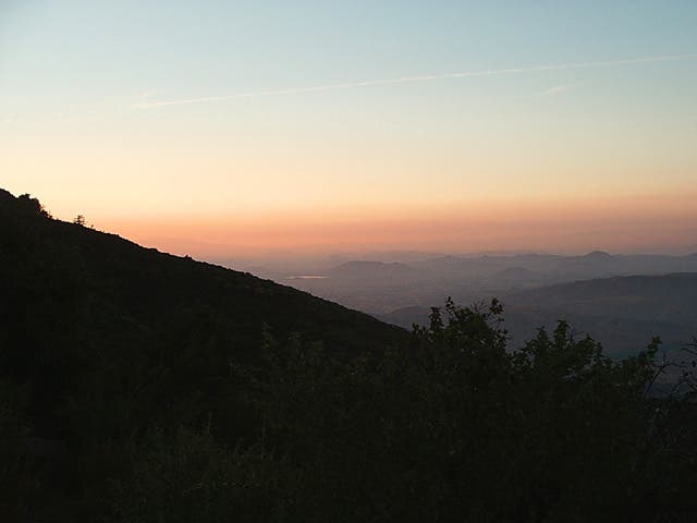
Northwest view to Temecula through the dying rays of a hazy sunset
Location: 33.4217262268066, -116.983062744141
©Steffan Fay
Trail flattens to scrubland.
Location: 33.4273719787598, -116.97730255127
©Steffan Fay
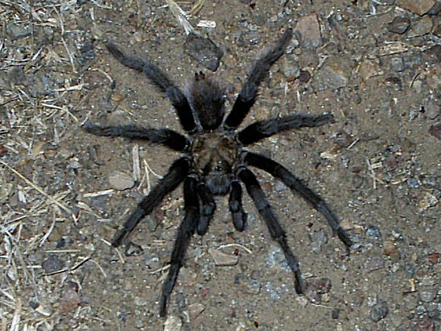
Tarantula along trail.
Location: 33.4398193359375, -116.977653503418
©Steffan Fay
Views of Vail Lake
Location: 33.4494972229004, -116.97730255127
©Steffan Fay