Published September 20, 2013 02:28PM
San Diego: Cowles Mountain
Ride the bus to the rugged hills of Mission Trails Park and bag the city's high point on a 3-mile out-and-back.
'David Nichols'
Mapped by Rajeev Jain
Trail Facts
- Distance: 2.4
- Miles from city center: 15
Waypoints
CMT001
Location: 32.8043212890625, -117.037757873535
From corner of Golfcrest Dr. and Navajo Rd., head NE into park on user trail to kiosk
CMT002
Location: 32.8045845031738, -117.037208557129
R @ Y on Cowles Mountain Trail. Climb past sage scrub and horned lizards What’s in the name? This peak was called Black Mtn., then dubbed “S Mountain” in 1931 after San Diego State students painted a 400-ft. “S” on hillside. The name later changed to honor rancher George A. Cowles
CMT003
Location: 32.805965423584, -117.036476135254
Hike over wave-carved plateaus
CMT004
Location: 32.8076820373535, -117.032814025879
Purple and blue California lilacs shelter swallowtail butterflies. These fragrant scrubs were boiled by local Indians for an itch-relieving rub
CMT005
Location: 32.8095817565918, -117.031608581543
Look ahead: The granite dome of Cowles rises above the sedimentary rock layers below
CMT006
Location: 32.8102874755859, -117.031066894531
Nearing 1,307 ft., look back for views of Lake Murray
CMT007
Location: 32.8108062744141, -117.031532287598
ADVERTISEMENT
Trail switchbacks
CMT008
Location: 32.8119621276856, -117.031646728516
Trail transitions into a mix of chamise, chaparral, and toyon
CMT009
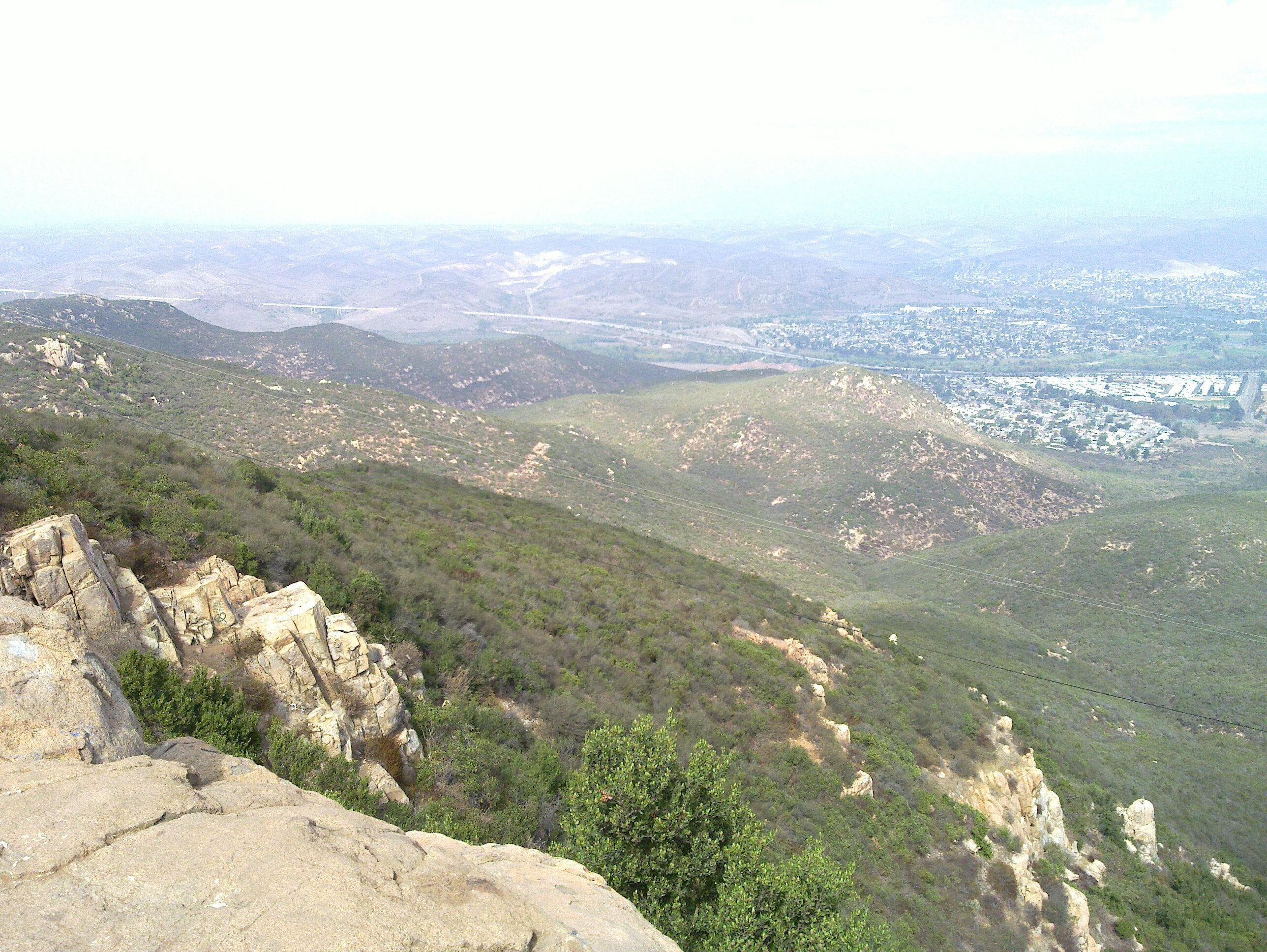
Location: 32.8127403259277, -117.031860351562
Cowles Mtn. (1,591 ft.) serves up wide-angle vista over the Coronado Islands and hazy Pacific to the San Ysidro and Cuyamaca Mtns. Return to bus stop