Salt Lake City, UT: Mount Timpanogos via Aspen Grove

This popular, 11,749-foot peak rises dramatically above the Utah Valley and offers hikers a challenging—and picturesque—climb to its rugged summit. Get an early start and prepare for a 10-hour day of hiking.
From the campground at Aspen Grove, hike west into the Primrose Cirque. The trail switchbacks six times up the slopes of the cirque, then traverses to the southwest for a 22-switchback climb beneath Roberts Horn. The trail skirts Hidden Lakes and continues to ascend to the northern edge of Emerald Lake. After 5.5 miles, traverse the barren slopes above Timpanogos Basin and crest the Mount Timpanogos ridgetop. Follow the narrow ridge south to reach the windy summit (the second highest peak in the Wasatch). Look to the southwest for stunning views of Utah Lake and Utah Valley, then follow the same route back to the trailhead.
Caution: The return trip to the trailhead descends a steep, seasonal snowfield southwest of the Timpanogos summit. Do not attempt this if you are uneasy in snowy descents.
-Mapped by Gene Poncelet
Trail Facts
- Distance: 22.4
Waypoints
TIM001
Location: 40.4043465, -111.6053848
From the campground at Aspen Grove, hike west into the Primrose Cirque. The climbing starts in 0.4 mile.
TIM002
Location: 40.4045448, -111.620491
In the next mile, the trail switchbacks 6 times up the slopes of the Primrose Cirque.
TIM003
Location: 40.4095192, -111.6188812
Trail swings to the left and traverses southwest.
TIM004
Location: 40.4003067, -111.6294785
Climb 22 switchbacks in the next mile.
TIM005
Location: 40.396904, -111.6325531
Keep left @ Y-intersection. Roberts Horn, a 10,993-foot peak rises directly to the the northwest. Ahead, cross the stream that flows from Emerald Lake and continue south. The trail curves to the northwest after skirting Hidden Lakes. Note: The trail that forks to the right reconnects with this route at Waypoint 6.
TIM006
Location: 40.39608, -111.6348343
Turn left @ T-junction, heading west beneath Roberts Horn.
TIM007
Location: 40.3947945, -111.6391068
Continue straight on the trail (the return route reconnects with the trail at this point). Ahead, the trail passes the northern tip of Emerald Lake and travels past Emerald Lake Shelter.
TIM008
Location: 40.3944702, -111.6458054
Bear left @ Y-junction. In 150 feet, bear left at Y-junction. From this vantage point above Timpanogos Basin, you’ll get up-close views of Mount Timpanogos’s 3.5-mile ridgeline.
TIM009
Location: 40.3968697, -111.654686
Turn left @ T-junction.
TIM010
Location: 40.3961334, -111.6545868
Crest the Timpanogos ridge and keep straight @ 3-way junction. Hike south toward the summit. Utah Lake can be seen to the southwest. Look north to find the backside of Alta Ski Resort.
TIM011
Location: 40.3908119, -111.6459808
Mount Timpanogos (11,749 ft.): Savor stunning views across the Utah Valley from the second highest peak in the Wasatch (also spelled Mount Timpanogas). Next, turn around and follow the same route back to the trailhead. Optional return route: Depending on the season and trail conditions, you may be able to descend a snowfield that covers the steep basin above Emerald Lake (mapped). To reach the snowfield, hike south along the ridge for 0.7 mile to a small saddle.
TIM012
Location: 40.3839186, -111.6391182
Turn left (north) off the ridge to descend the seasonal snowfield. In 0.9 mile, pass Emerald Lake, then turn right @ Waypoint 7 onto the trail. Retrace route to the trailhead.
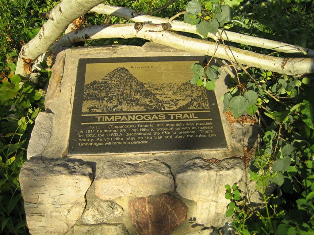
Timpanogas Trail Sign
Location: 40.4043388, -111.6053772
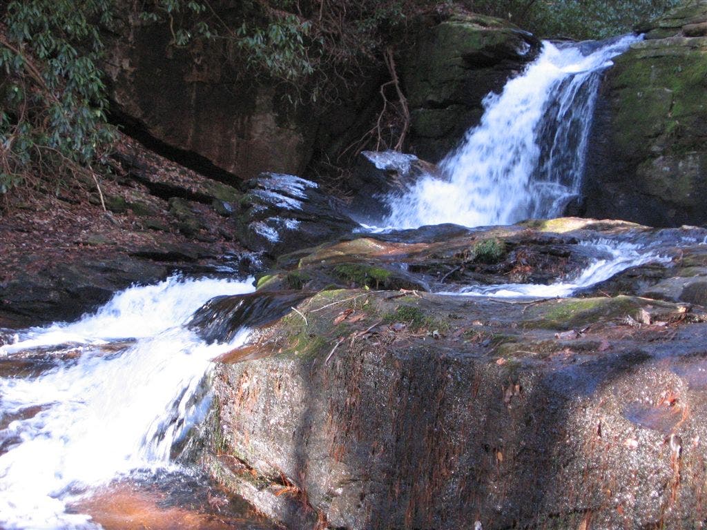
Waterfall
Location: 40.3988887, -111.6299772
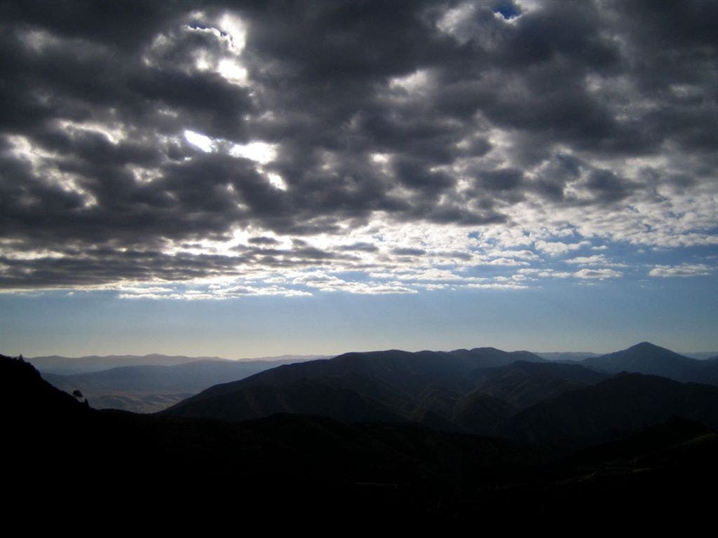
Early Start
Location: 40.3958282, -111.6363678
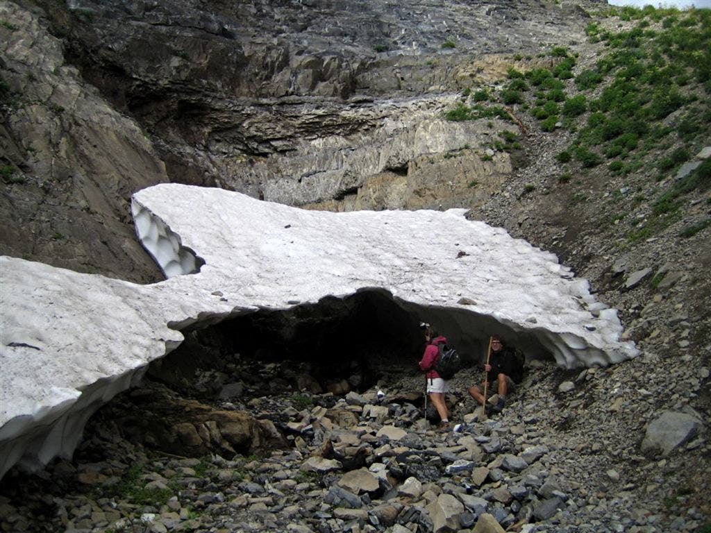
Snow in September
Location: 40.3956528, -111.6377487
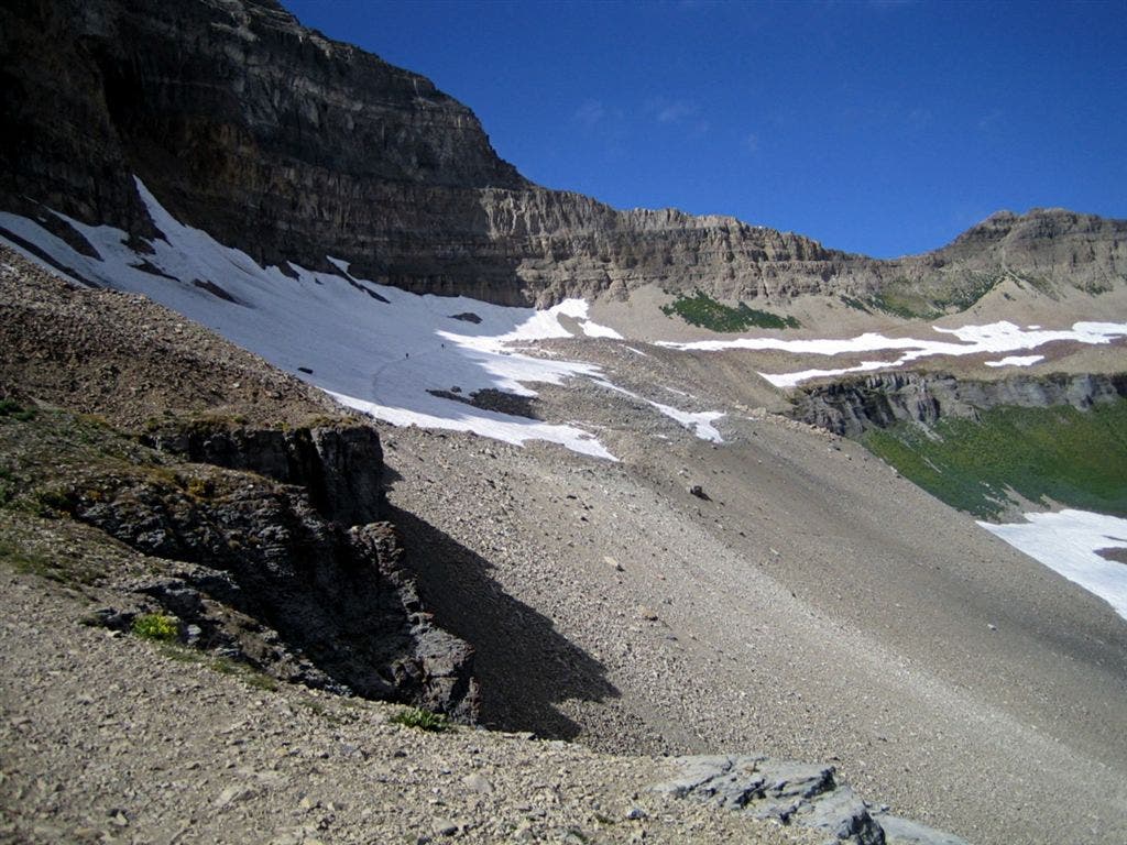
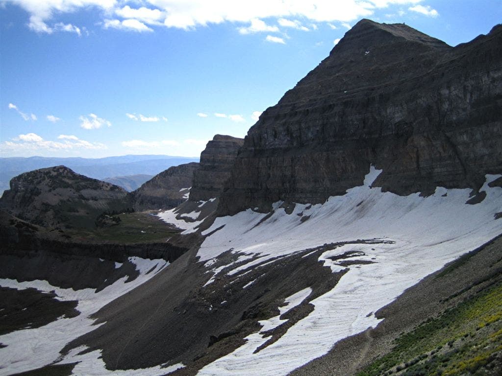
Views of the Snowfield
Location: 40.3940659, -111.6473312
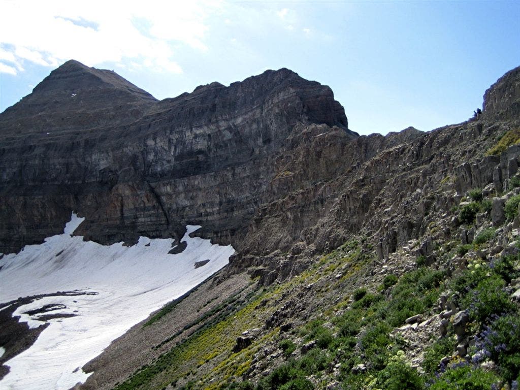
Mount Timpanogos
Location: 40.3953094, -111.6520386
Hikers rest on the ridgeline.
Snowfield
Location: 40.3959312, -111.6530685
Hikers cross the snowfield below Mount Timpanogos.
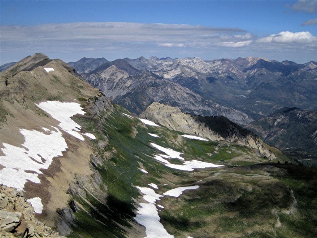
Views of Alta Ski Resort
Location: 40.3948479, -111.6535034
The backside of Alta Ski Resort.
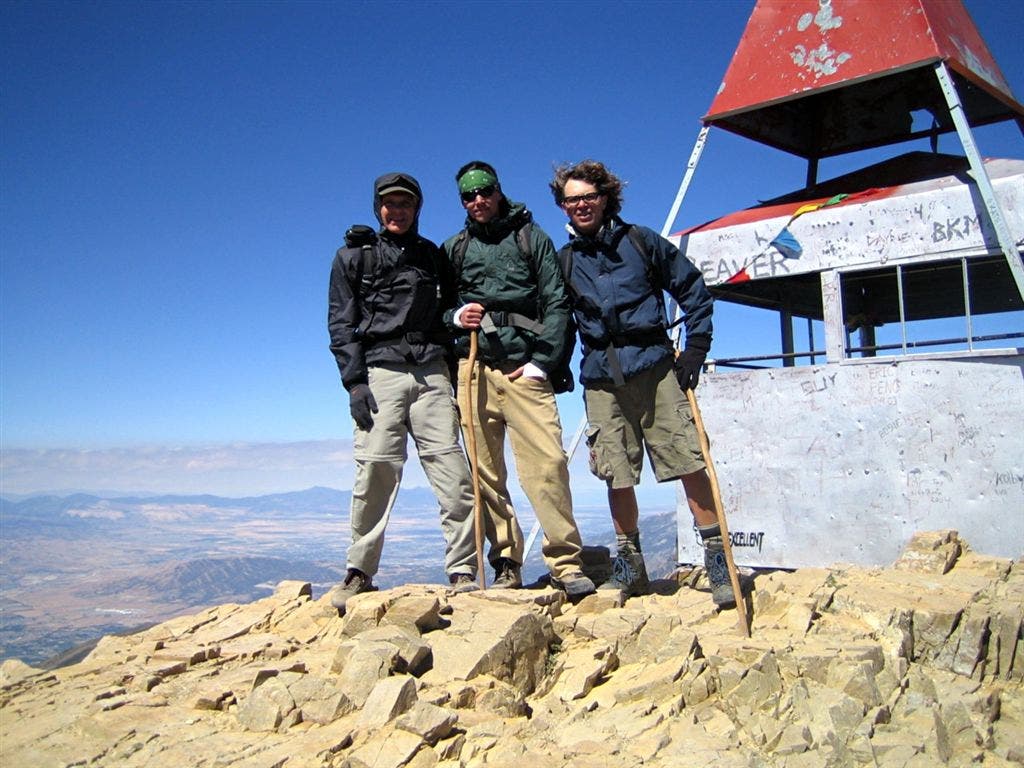
Top of Timpanogos
Location: 40.3907852, -111.6459503
Hikers on the windy summit.
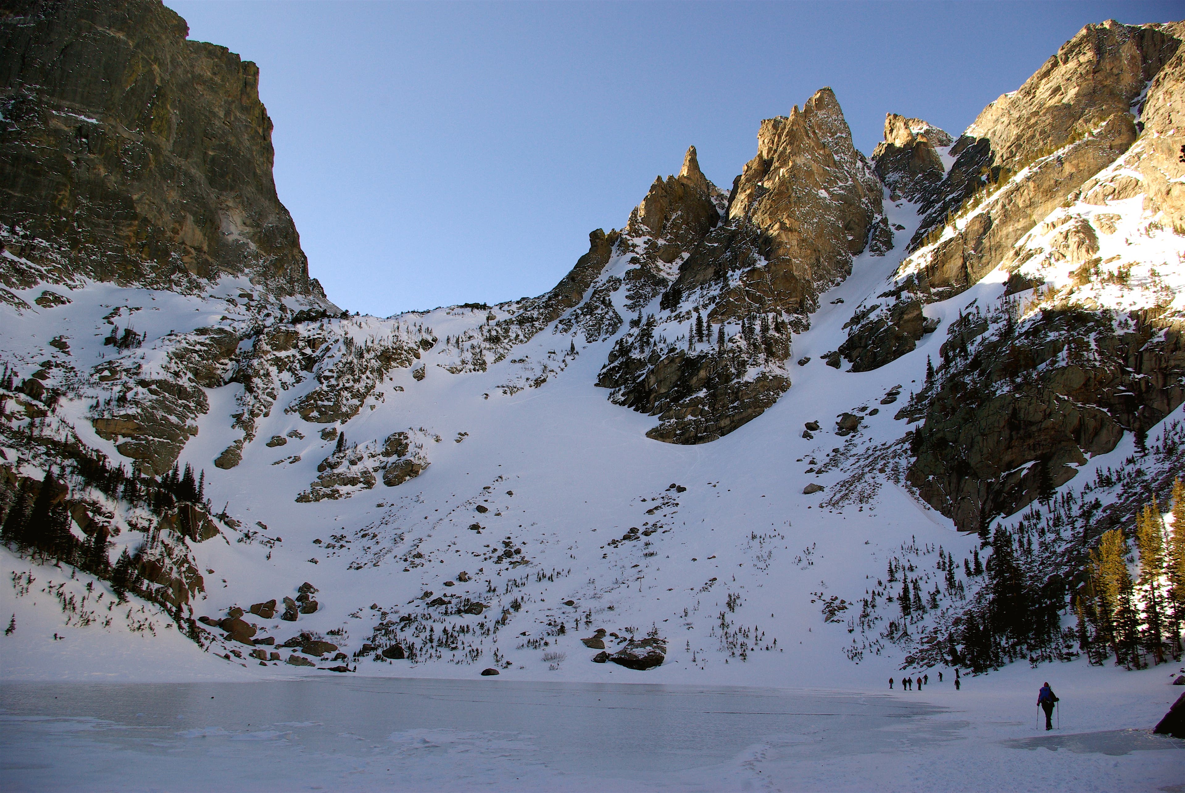
Emerald Lake
Location: 40.3904888, -111.6455984
Bird’s-eye views of Emerald Lake.
Emerald Lake
Location: 40.3936844, -111.6392975