Salt Lake City, UT: Gilbert Peak Via Henry's Fork Trail

Tucked in the eastern reaches of Utah’s remote Uinta Mountains, Gilbert Peak serves up expansive panoramas and quiet solitude amid an idyllic high alpine setting. Start this two-day trek by heading southwest on the Henry’s Fork Trail from the end of Forest Service Road 077. Day 1 consists of a gently-graded, 7-mile trek through ridge-lined meadows en route to Dollar Lake. Set up camp here to prepare for the peak ascent and return hike tomorrow. The trout-filled lake has long been a draw to anglers, so you may have to hike to Dollar’s southern shore to beat the crowds.
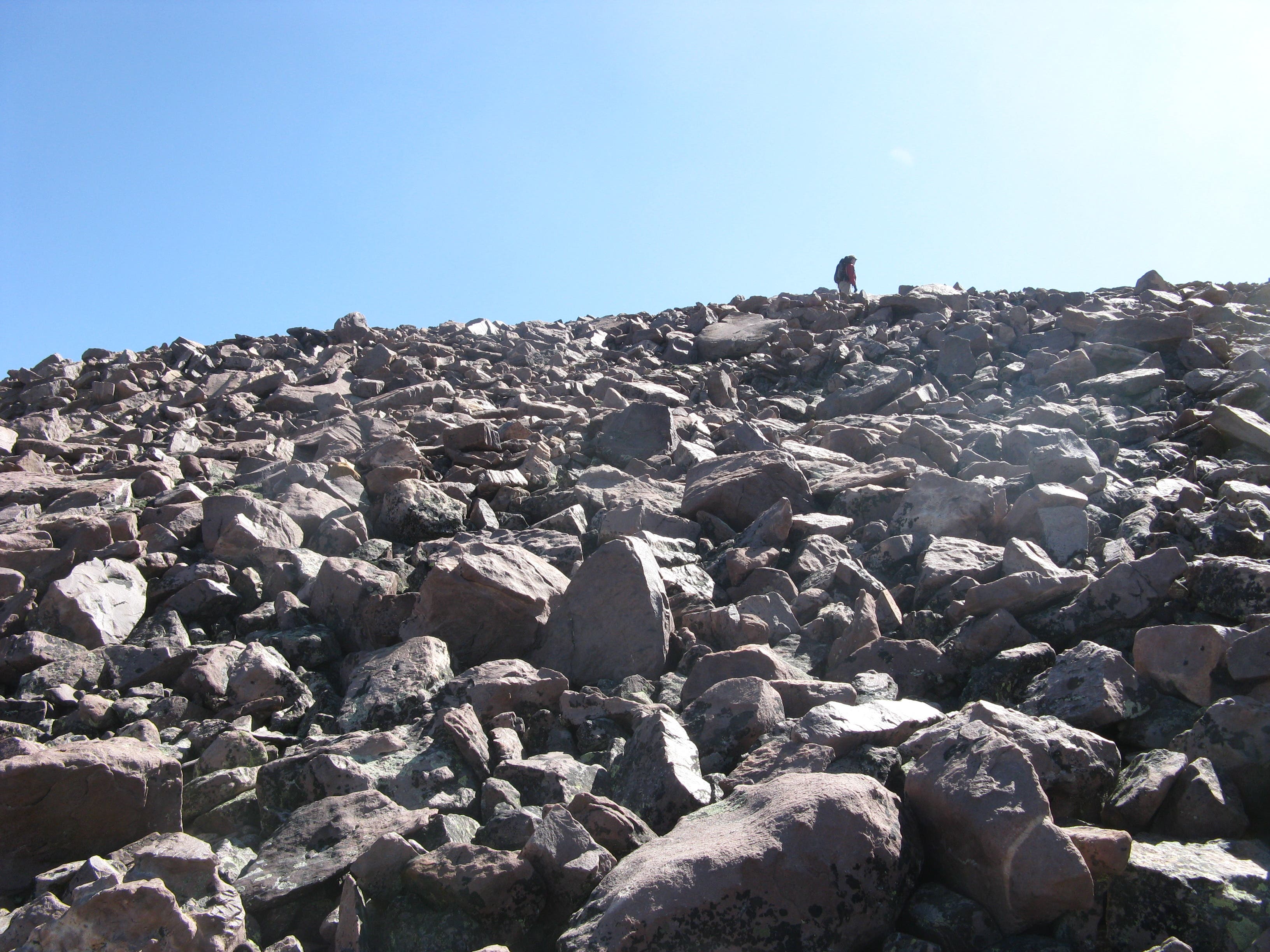
Traffic clears up on the less-traveled route to Gilbert Peak. The steep, 3-mile jaunt toward the mountain’s broad, bare summit gains 2,620 feet, beginning with a demanding 0.9-mile push up the ridge just east of Dollar Lake. After breaking tree line and gaining the ridgeline, savor spectacular views of Upper Henry’s Fork Basin, Kings Peak (Utah’s highest: 13,528 feet) and Gunsight Pass before continuing upward. In typical Uinta fashion, grassy slopes yield to boulder-strewn hillsides before culminating at the peak. From the top of Gilbert (13,409 feet), notch expansive panoramas of the surrounding Uinta Mountains and, on a clear day, Wyoming’s Wind River Range to the north.
To bag another 13,000-foot peak, follow the ridgeline southwest of Gilbert Peak toward Gunisght Peak (13,263 feet). Otherwise, return to the trailhead via the route you hiked in on. Leave yourself plenty of time to get up an down from Dollar Lake: afternoon thunderstorms, sometimes bringing hail, are common during summer.
-Mapped by Charlie Hart
Trail Facts
- Distance: 32.5
Waypoints
GBT001
Location: 40.908952, -110.331738
Leave your car in the dirt pullout near Henry’s Fork Campground at the end of National Forest Road 077. Head southwest on the Henry’s Fork Trail, which traces the river of the same name. After 7.2 miles and 1,300 feet of gradual vertical, you’ll turn left to Dollar Lake.
GBT002
Location: 40.827839, -110.380263
Turn left at the sign pointing to Dollar Lake.
GBT003
Location: 40.828246, -110.376658
Camping is available on the north and south shores of Dollar Lake. You’ll encounter more people if you camp on the north shore.
GBT004
Location: 40.82667, -110.372901
The trek to Gilbert Peak starts with a steep churn up the ridge east of Dollar Lake. The climb crams nearly 1,000 feet of elevation gain into 0.9 mile.
GBT005
Location: 40.823325, -110.339642
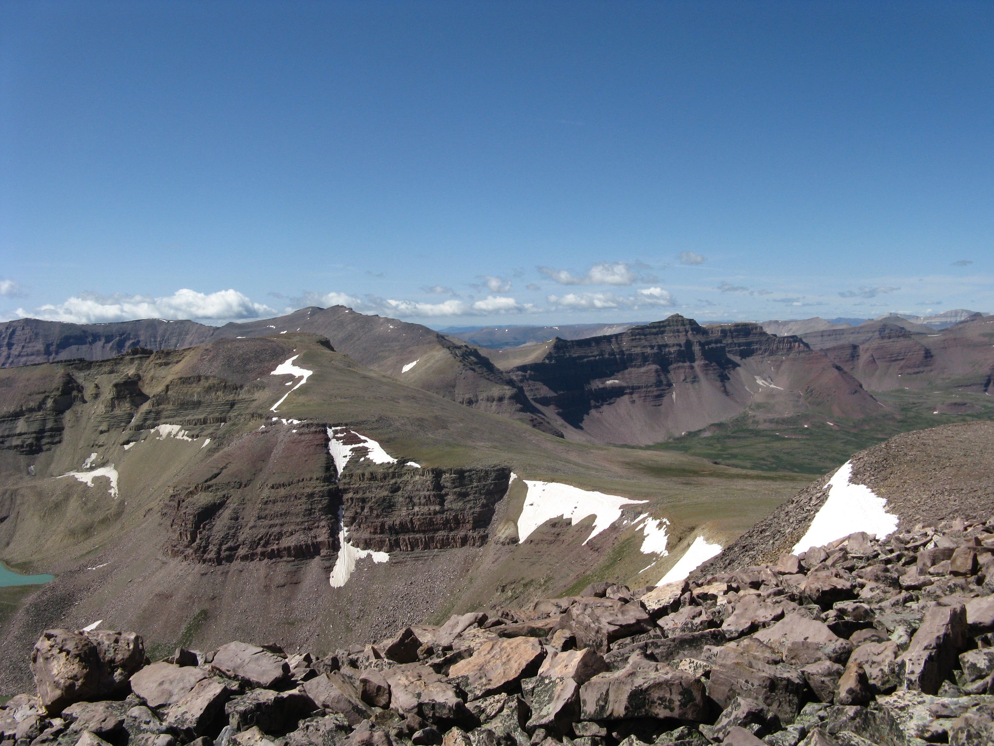
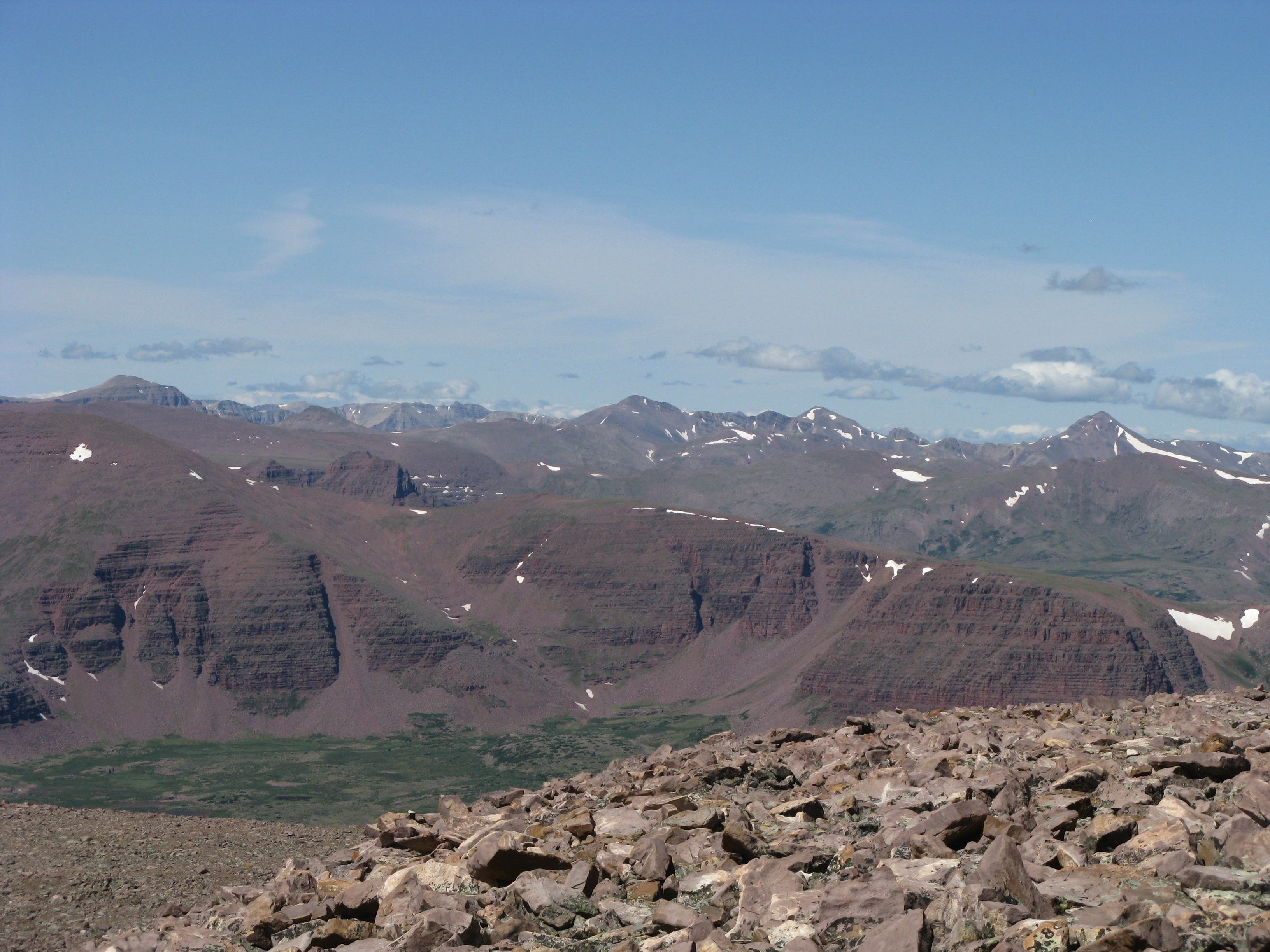
Reach Gilbert Peak (13,409 feet). Savor views of the surrounding Uinta Mountains: Mt. Lovenia and Mt. Tokawana are prominent to the west, with Gunsight Peak and Kings Peak visible to the south.
Eastern View From Dollar Lake
Location: 40.828505, -110.375562
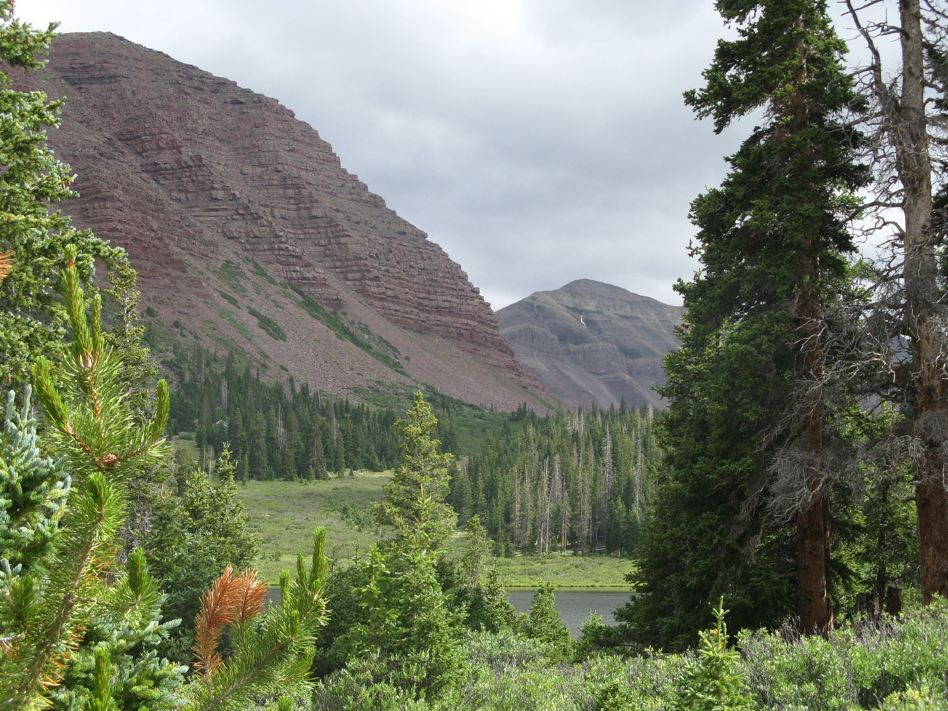
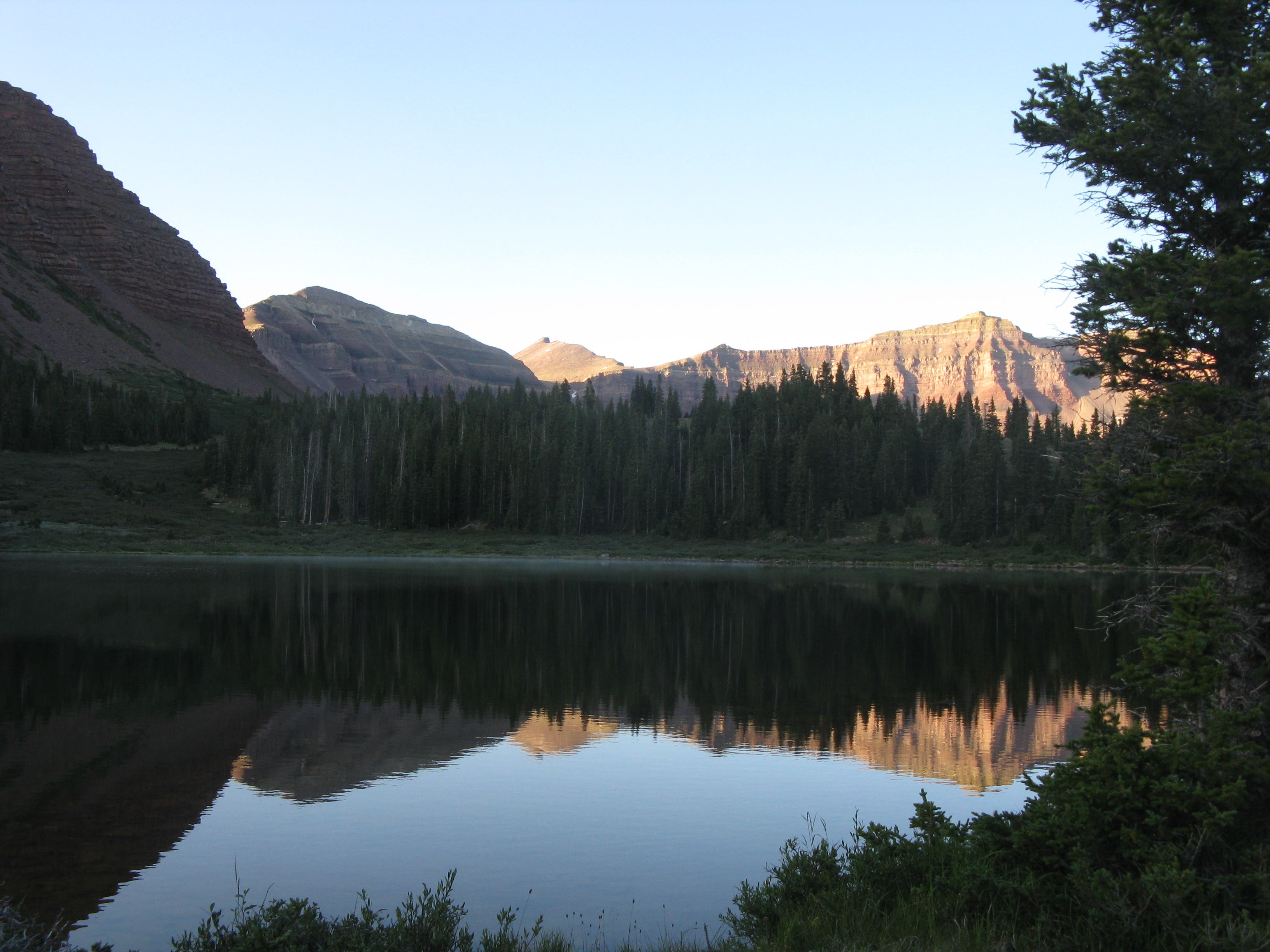
Dollar Lake is backdropped by a ridge (left of photo) to the northwest of Gilbert Peak.
Southern View From Dollar Lake
Location: 40.827644, -110.375433
Looking south from Dollar Lake toward Kings Peak.
Climbing From Dollar Lake
Location: 40.825696, -110.369339
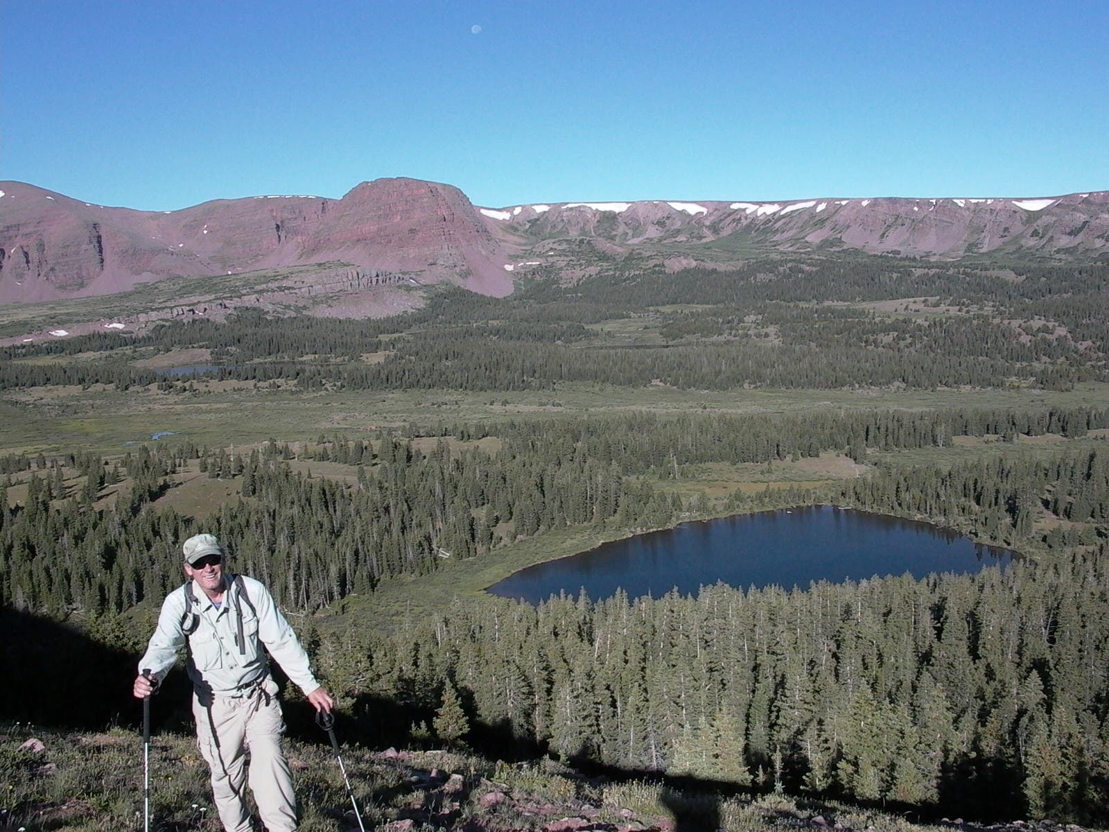
Notch views of Dollar Lake and the Upper Henry’s Fork Basin while climbing the first ridge to Gilbert Peak.
Gilbert Peak
Location: 40.818746, -110.36685
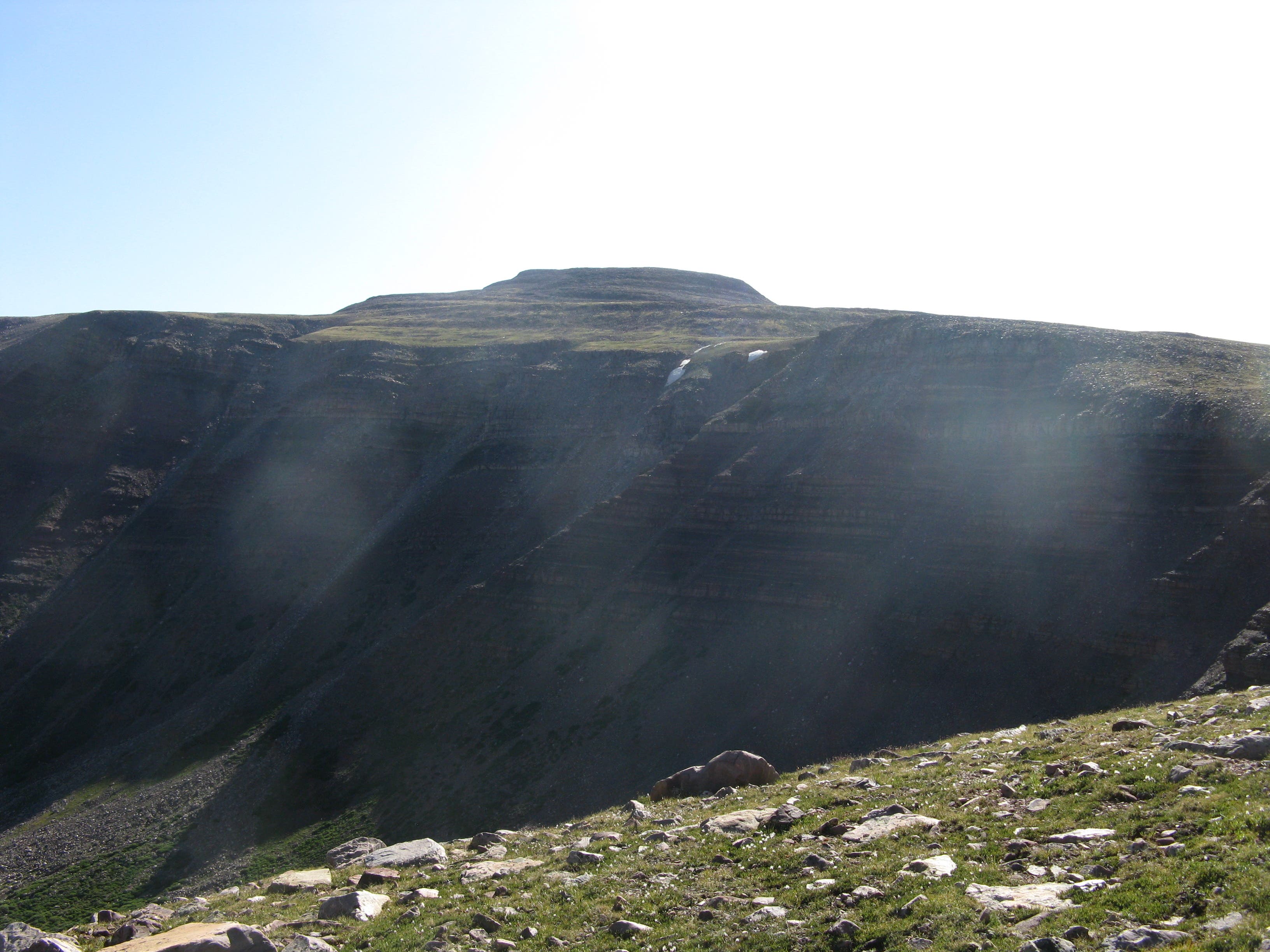
Gilbert Peak’s broad summit comes into view from the top of the ridge east of Dollar Lake.
Boulder Field
Location: 40.821766, -110.34492
Scramble through a boulder field to reach Gilbert Peak.
Gilbert Peak: Looking South
Location: 40.823617, -110.339513
Gunsight Peak is visible to the southwest of Gilbert Peak, with Kings Peak looming immediately behind it.
Gilbert Peak: Looking West
Location: 40.823617, -110.3405
Look west for views of Mt. Tokawana and Mt. Lovena of the Western Uinta Range.