Published September 20, 2013 03:32PM
Salt Lake City: Sunset Peak
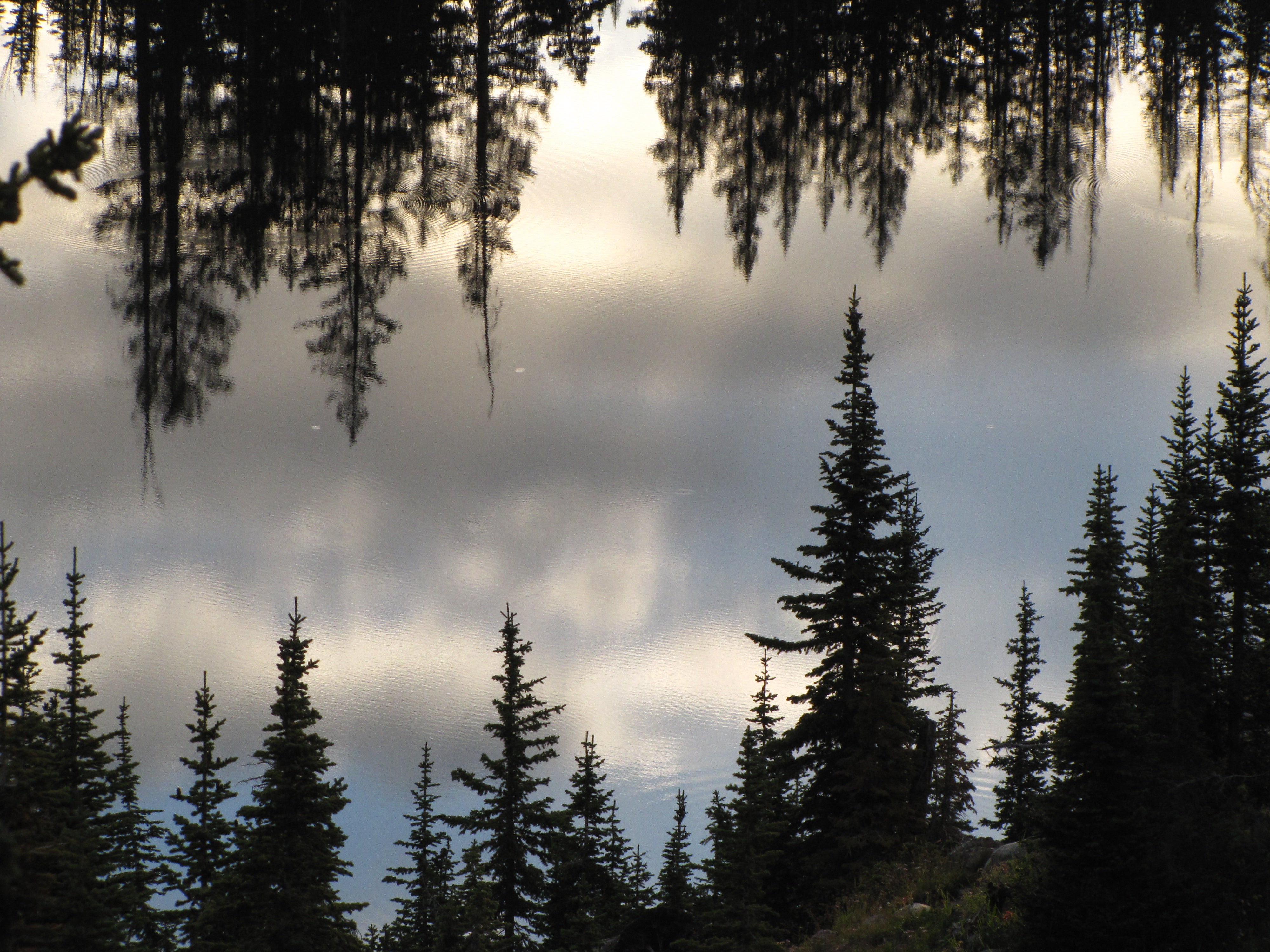
This 5.3-mile out-and-back threads through a pristine alpine landscape with abundant streams, lakes, and wildlife on its way to a 10,650-foot peak in Wasatch National Forest.
'Intermountain Region USFS'
Trail Facts
- Distance: 8.5
- Miles from city center: 31
Waypoints
SPT001
Location: 40.59827, -111.584152
Trail heads S along dirt road; old trail along stream is in restoration
SPT002
Location: 40.596123, -111.581573
Stay straight on dirt road
SPT003
Location: 40.5928, -111.582764
Rejoin original trail in trees
SPT004
Location: 40.589527, -111.583992
Quick sidetrip: Turn L for a short detour (.1 mile) to see sparkling blue waters of Dog Lake
SPT005
Location: 40.58971, -111.588173
Short climb to dam built in the 1930s by the CCC that merged two lakes (Phoebe and Mary) into one
SPT006
Location: 40.585484, -111.590454
Turn L and enjoy views of Lakes Mary and Martha; look for moose tracks on wet banks
SPT007
Location: 40.581757, -111.593231
Enjoy a peaceful snack overlooking Lake Catherine and Pioneer Peak before heading for the pass
SPT008
Location: 40.580624, -111.598587
Catherine Pass: good views into Little Cottonwood Canyon and the Albion Basin
SPT009
Location: 40.577019, -111.59359
ADVERTISEMENT
Turn L and follow ridge trail up 435 ft. to Sunset Peak (10,648); enjoy fine views ranging from the Uintas Range to the E, Deseret Peak to the W, and Mt. Timpanogos to the S