Published September 20, 2013 03:15PM
Salt Lake City: Frary's Peak
On this 6.6-mile hike, you'll climb the highest peak on the Great Salt Lake's Antelope Island, which is home to more than 600 bison.
'Zach Tirrell'
Trail Facts
- Distance: 5.4
- Miles from city center: 46
Waypoints
FPT001
Location: 40.993709564209, -112.202598571777
Path climbs steeply through a mix of aromatic sagebrush and tall grass
FPT002
Location: 40.9948196411133, -112.205902099609
Keep climbing and curve SW. Bison usually nap and graze near the trail
FPT003
Location: 40.9894905090332, -112.210998535156
Old slag pile left by miners
FPT004
Location: 40.9871482849121, -112.213302612305
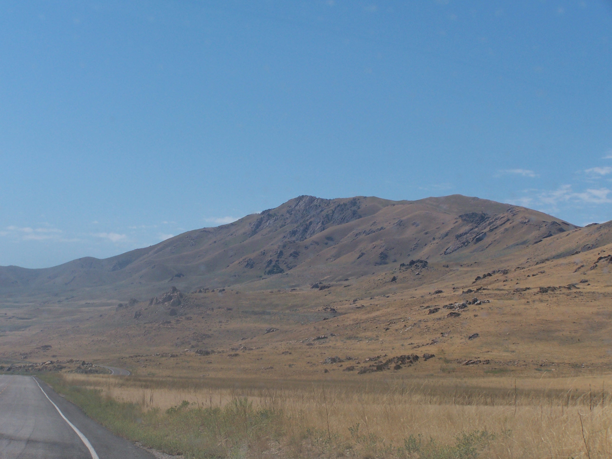
Brown, barren peak of Elephant Head rises in the W
FPT005
Location: 40.984260559082, -112.217796325684
Turn L @ Dooly Knob Jct.; trail switchbacks E through golden rangeland
FPT006
Location: 40.983829498291, -112.213798522949
Big views: Salty breezes blow off the Great Salt Lake, the largest body between the Great Lakes and the Pacific Ocean
FPT007
Location: 40.9814300537109, -112.215103149414
Climb wooden steps up steep trail; continue S on ridge
FPT008
Location: 40.9747200012207, -112.216201782227
The Wasatch Mountains provide a rugged backdrop in the E
FPT009
Location: 40.9671516418457, -112.216903686523
Continue S toward the highest point on the island on an exposed, grassy ridgeline with rocky outcroppings
FPT010
ADVERTISEMENT
Location: 40.9626693725586, -112.216400146484
Frary’s Peak (6,596 ft.) offers contrasting views of city skyline, stormy peaks, and a shrinking prehistoric ocean. Retrace steps to car