Salem, OR: Shellburg Falls

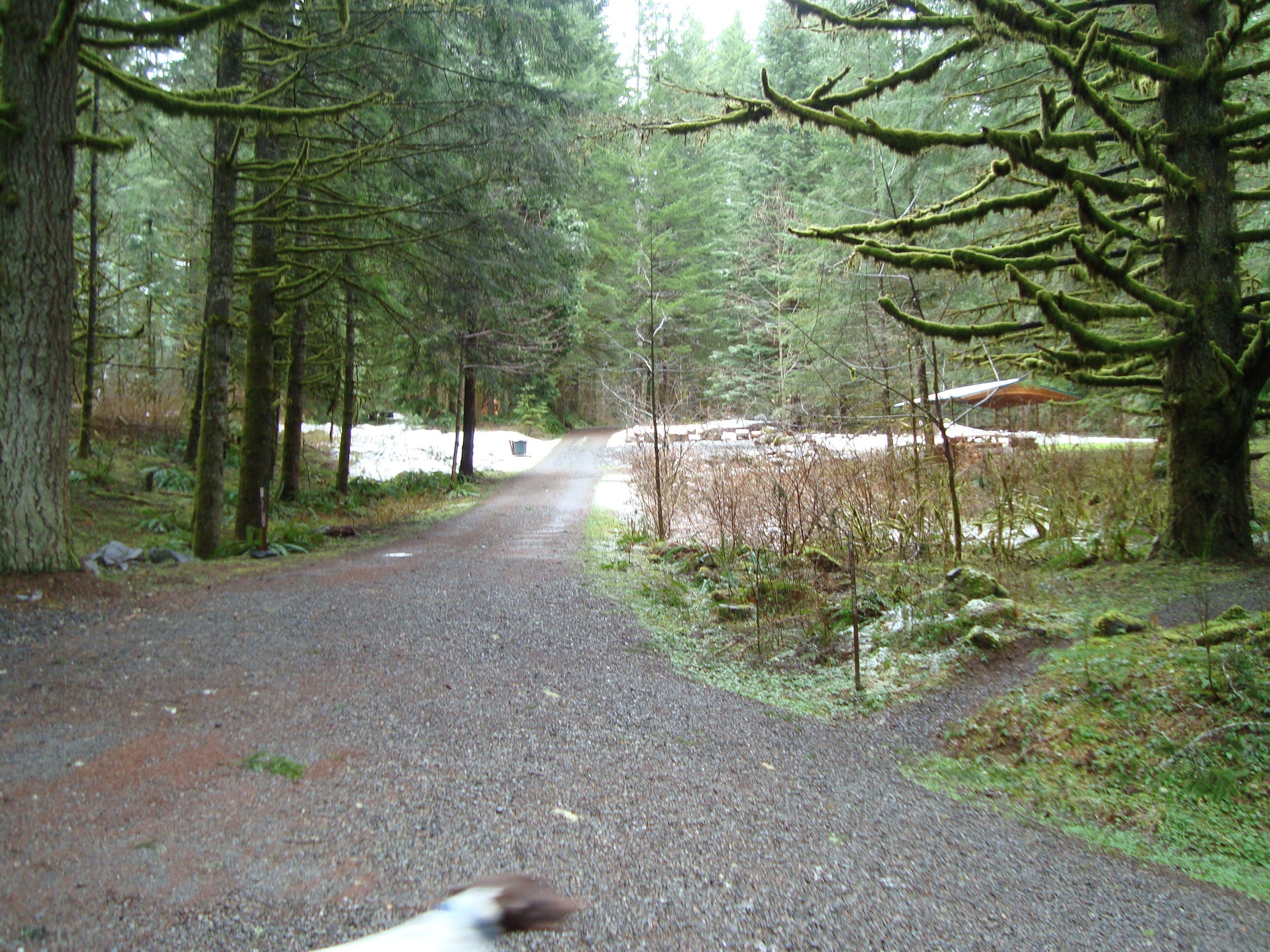
Neighboring the well-trafficked Silver Falls State Park, the Shellburg Falls Recreation Area provides access to two lesser-known gems: Shellburg Falls and Lower Shellburg Falls. Link both of them on this scenic, 3.7-mile out-and back. Starting from the gravel parking lot on Fern Loop Road, head east on Shellberg Road, a country lane flanked by hemlock, Douglas fir, and farmland (you may encounter the occasional cow herd crossing the road).
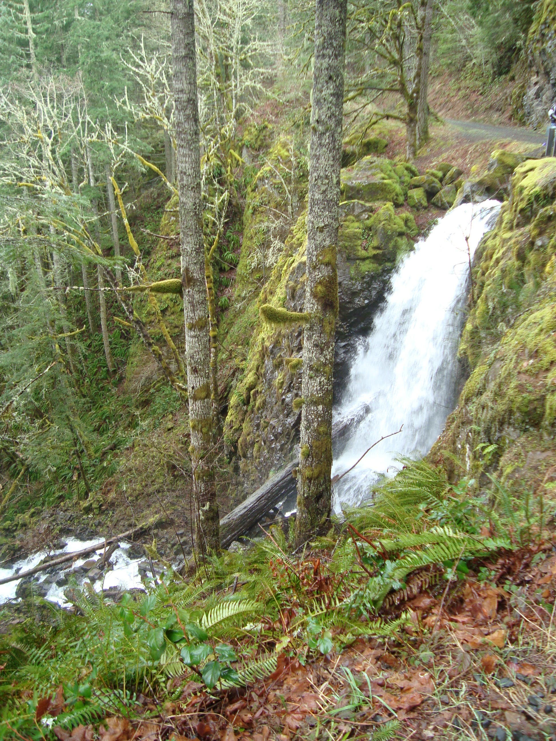
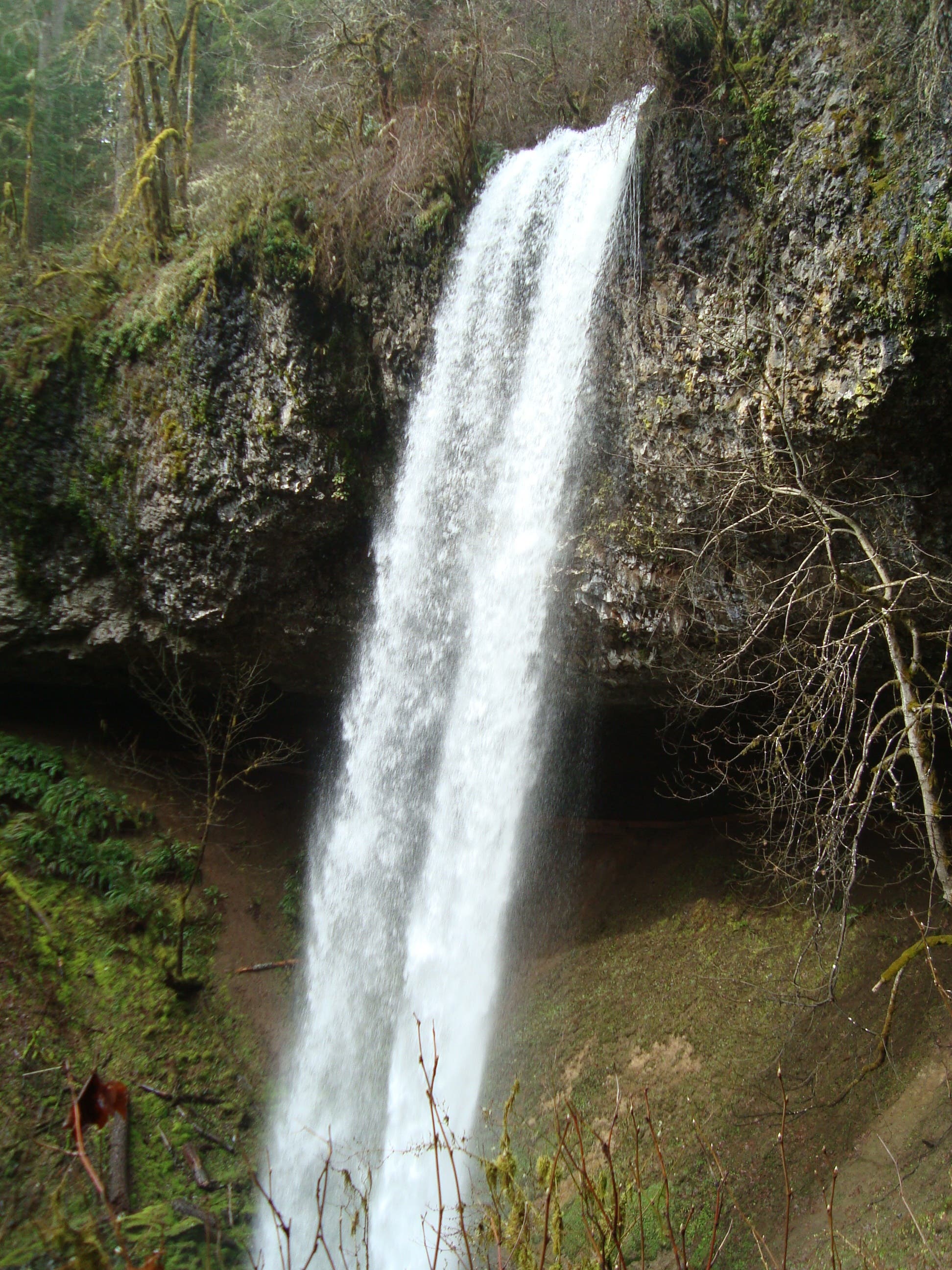
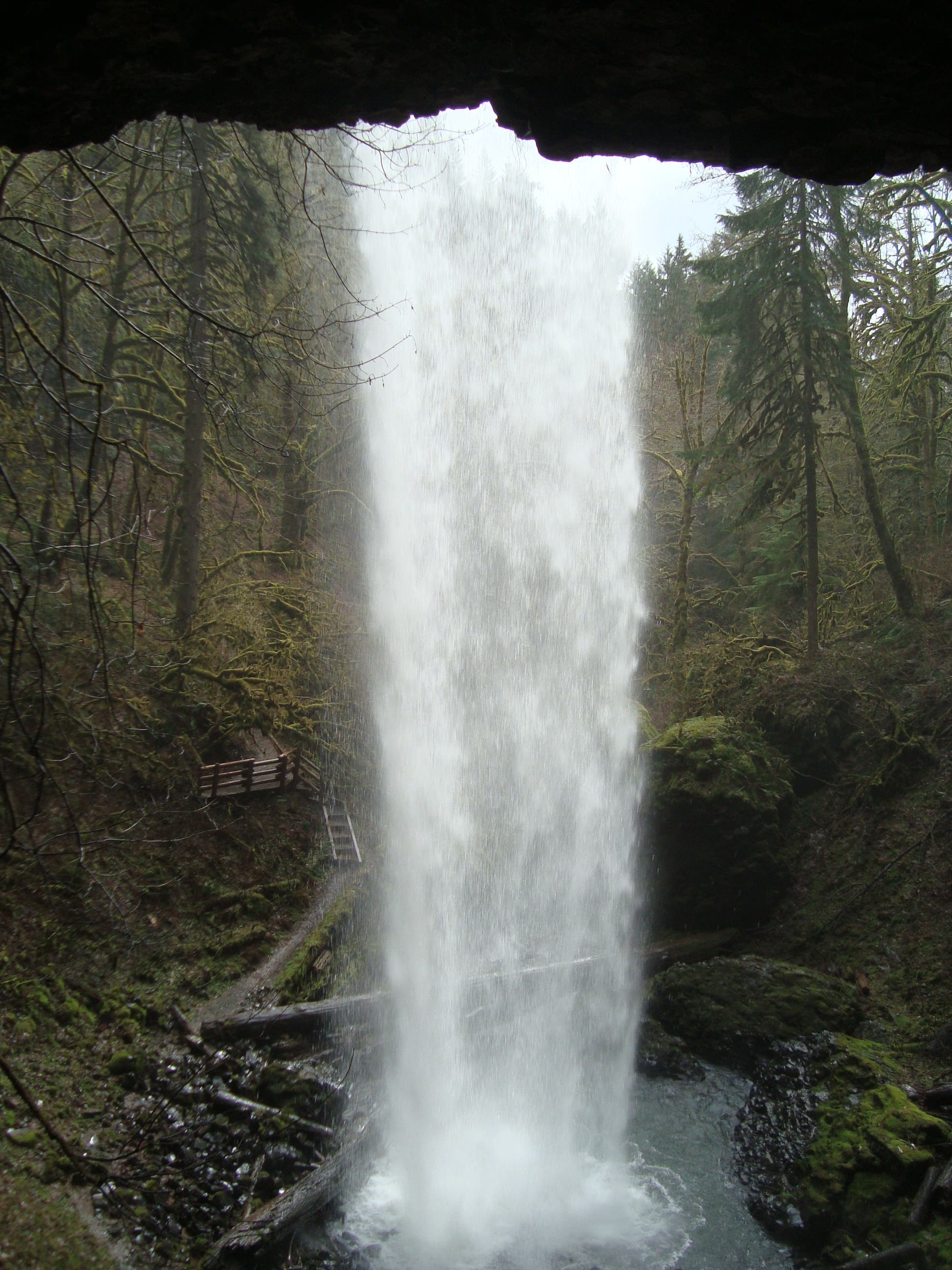
After 1.3 miles, cross a bridge over Shellburg Creek, which plummets into a lush ravine, forming Lower Shellburg Falls. Just past the bridge crossing, the route turns left and climbs north through skunk cabbage, mossy rocks, and towering conifers en route to the 100-foot-tall Shellburg Falls. Pouring off an exposed, overhanging basalt cliff, this picturesque cascade sprays into a misty, moss-covered bowl. Follow the trail to the left to skirt behind the falls and catch a revealing behind-the-scenes view of the waterfall.
Less than half a mile up the trail, the route visits Shellburg Falls Campground, a wooded area with restrooms, a hand-pump well, and picnic tables. Hikers can continue exploring the trails around the campground, or turn around and retrace the route to the trailhead.
Info: Shellburg Falls Recreation Area
-Mapped by Josh Beachy


Trail Facts
- Distance: 6.0
Waypoints
SBF001
Location: 44.8054832, -122.6273775
The route starts from the parking lot on Fern Ridge Road. Head east on Shellberg Road, a gated, gravel thoroughfare closed to motor-vehicles. The road, bordered by private property, wanders past giant Douglas fir, hemlock, and pastoral farmland (you may see cows roaming the road).
SBF002
Location: 44.8103586, -122.6083446
Cross a small footbridge over Lower Shellburg Falls. Go to the south side of the bridge to see Shellburg Creek pouring into the lush ravine.
SBF003
Location: 44.8103624, -122.6080012
Turn left and head north up the Shellburg Creek drainage. The main Shellburg Falls are 800 feet up the trail.
SBF003
Location: 44.8124145, -122.6082218
Shellburg Falls: Flanked by maturing forest, this 100-foot cascade tumbles over a basalt cliff and into a mossy, mist-shrouded bowl. Take the short spur on the left side of the trail to climb down to the base of the falls. Then, stay on the trail to grab a view from the behind the falls.
SBF004
Location: 44.8164437, -122.6104152
Shellburg Falls Campground: Tucked into a dense, quiet part of the forest, this campground features restrooms, picnic tables, a hand-pump well, and fire rings. Optional: Explore the trails around the campground to add more mileage to your trip. To return to the trailhead, retrace your route.
Lower Shellburg Falls
Location: 44.8103662, -122.608248
Shellburg Falls
Location: 44.8124213, -122.6081407
The main falls pour from a basalt cliff — a relic of the Pacific Northwest’s volcanic past — down a 100-foot precipice.
Behind Falls
Location: 44.8124289, -122.6084036
Weave behind the falls by following the short spur to the left of the trail.
Campground
Location: 44.8164437, -122.6102972
This newly-constructed site is free and does not require reservations.