Rocky Mountain National Park: Ypsilon Lake

Big on scenery and small on crowds, this 9-miler swings from the Lawn Lake Trailhead to one of Rocky Mountain National Park’s lesser-visited landmarks. Heading north on Lawn Lake Trail, you’ll immediately begin climbing a ridge offering vistas of the Fall River and Horseshoe Park below.
The trail levels out as it begins tracing the Roaring River through a deep valley before leading to a Y-junction with the Ypsilon Lake Trail. Cross the river and turn left to begin the northern trek to the lake. The trail becomes steeper and rockier as you climb higher through thick pine forest.
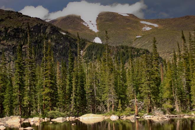
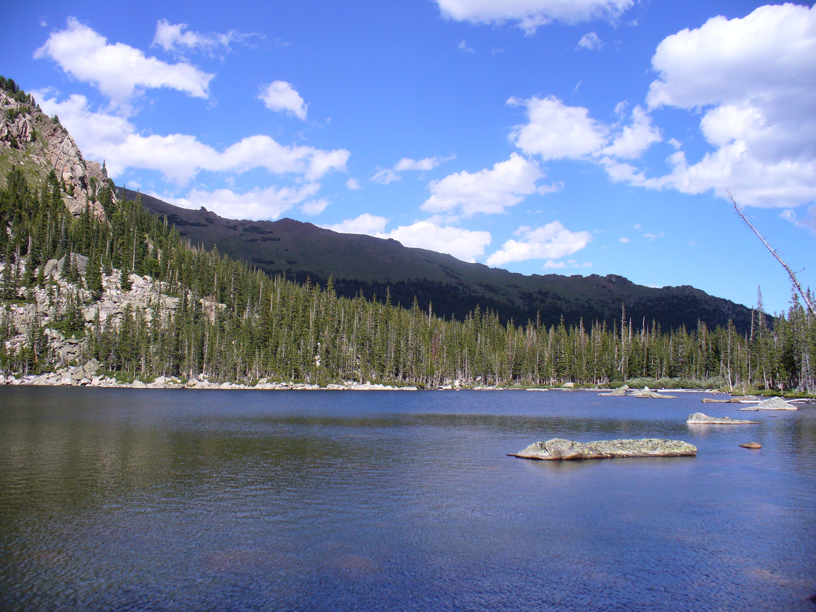
Just before mile 4, the deep woods give way to Chipmunk Lake (10,680 feet). Continue north on the now level trail: Ypsilon Lake is less than 0.5 mile away. Before reaching the lake, you’ll pass a sidetrail to developed backcountry campsites. Upon reaching the lake, which is framed by Ypsilon Mountain and the cloud-scraping Mummy Range to the north, use a network of social trails to explore its pine-walled, boulder-strewn shorelines.
The lake is brimming with rainbow cutthroat trout, and fishing is especially fruitful in the lake’s shallow, southern section. For an alternate return to the trailhead, follow this GPS track of an off-trail route tracing the Roaring River.
INFO For information on permits, current trail and camp conditions, and wilderness guidelines, go to nps.gov/romo/planyourvisit/backcountry.htm
PERMIT A wilderness permit is required for all overnight camping in the backcountry. Reservations accepted ($20 administrative fee for permits during peak season). nps.gov/romo/planyourvisit/backcntry_guide.htm
CONTACT Rocky Mountain National Park, (970) 586-1206; nps.gov/romo
-Mapped by Chris Hood, Mountain Adventures
Trail Facts
- Distance: 14.0
Waypoints
YLK001
Location: 40.407369, -105.62604
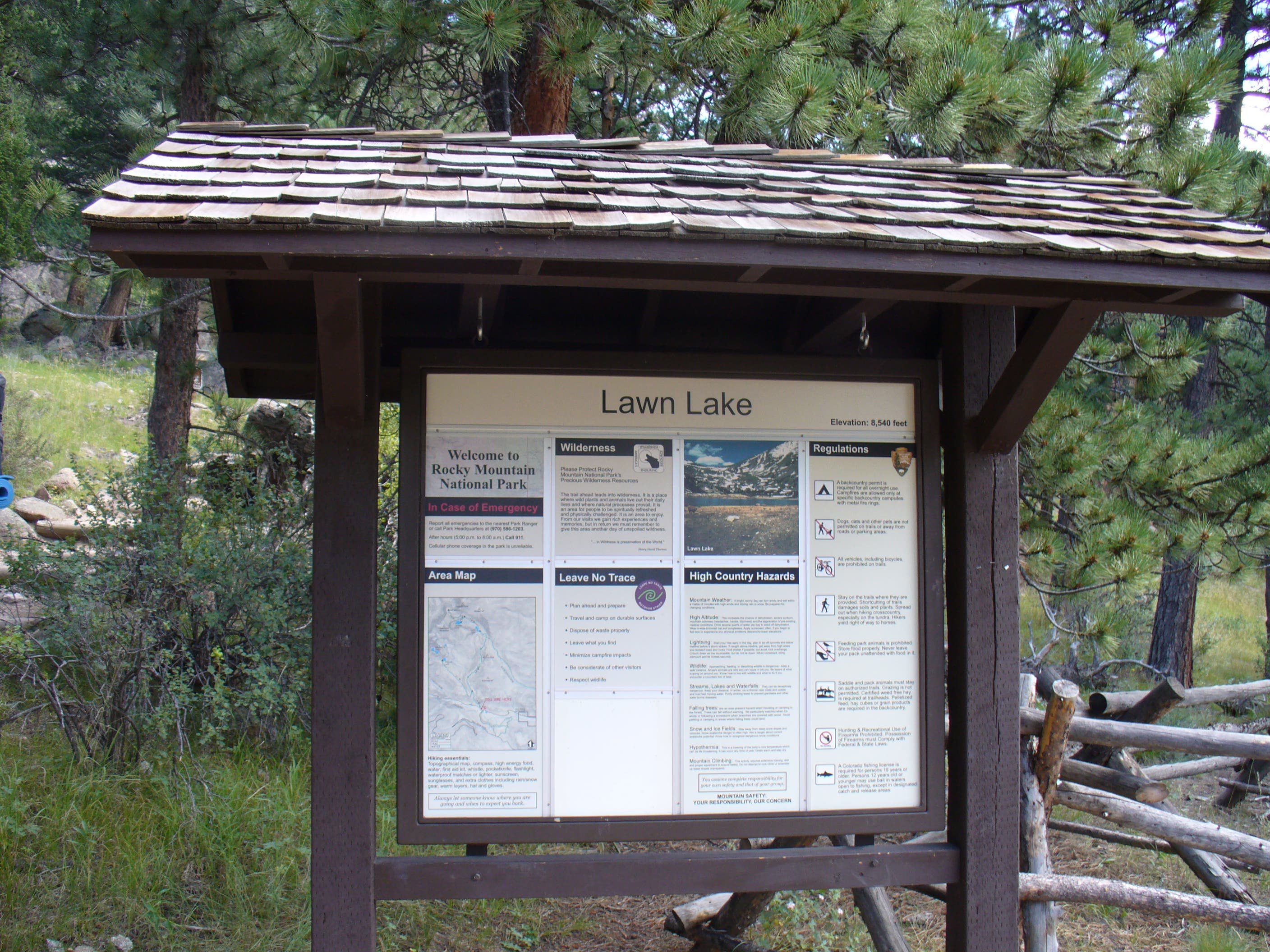
From the parking lot just off Old Fall River Road, head north on the Lawn Lake Trail.
YLK002
Location: 40.408791, -105.62638
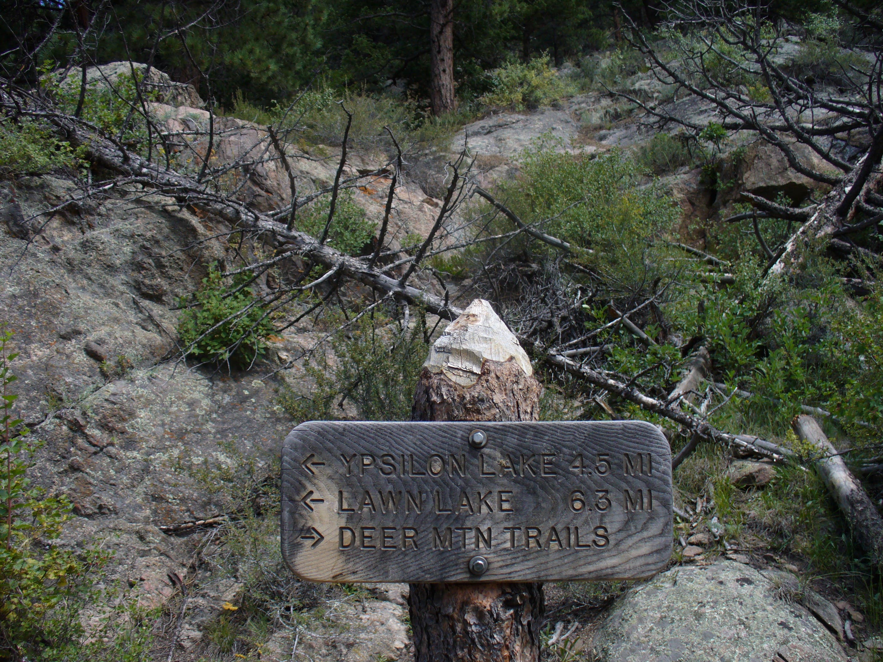
At the fork, follow the sign pointing to Lawn Lake and Ypsilon Lake.
YLK003
Location: 40.420161, -105.634897
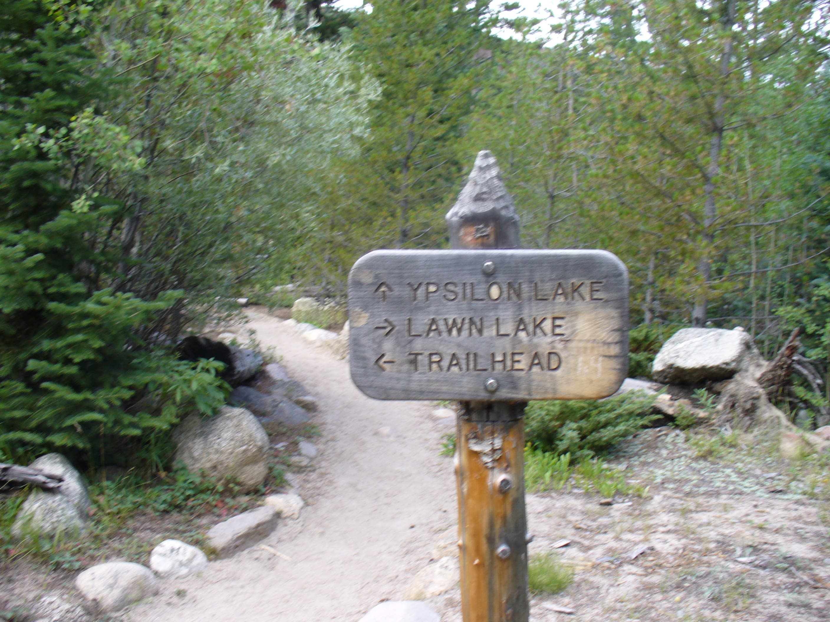
At Y-junction, turn left to pick up the Ypsilon Lake Trail. Right fork leads to Lawn Lake.
YLK004
Location: 40.438934, -105.662366
Pass Chipmunk Lake (10,680 feet). Ypsilon Lake sits less than 0.5 mile north.
YLK005
Location: 40.441852, -105.664101
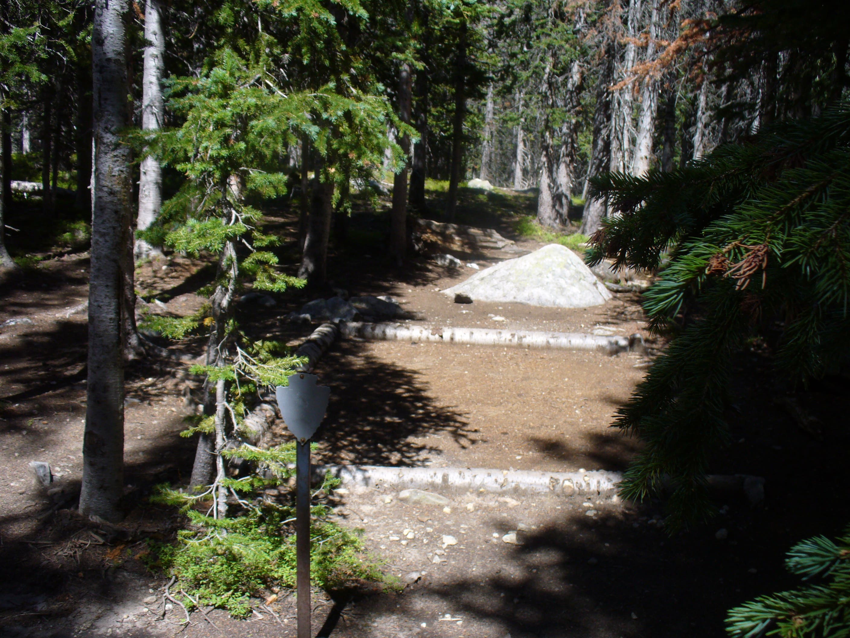
Turn right on this sidetrail to access an established campsite.
YLK006
Location: 40.443211, -105.664594
Reach Ypsilon Lake (10,632 feet). Ypsilon Mountain and the Mummy Range tower to the north.
Lawn Lake Trailhead
Location: 40.407369, -105.625949
Junction
Location: 40.408709, -105.627151
Take the right fork toward Lawn Lake and Ypsilon Lake.
Trail Splits
Location: 40.420259, -105.634897
Turn left to pick up the Ypsilon Lake Trail.
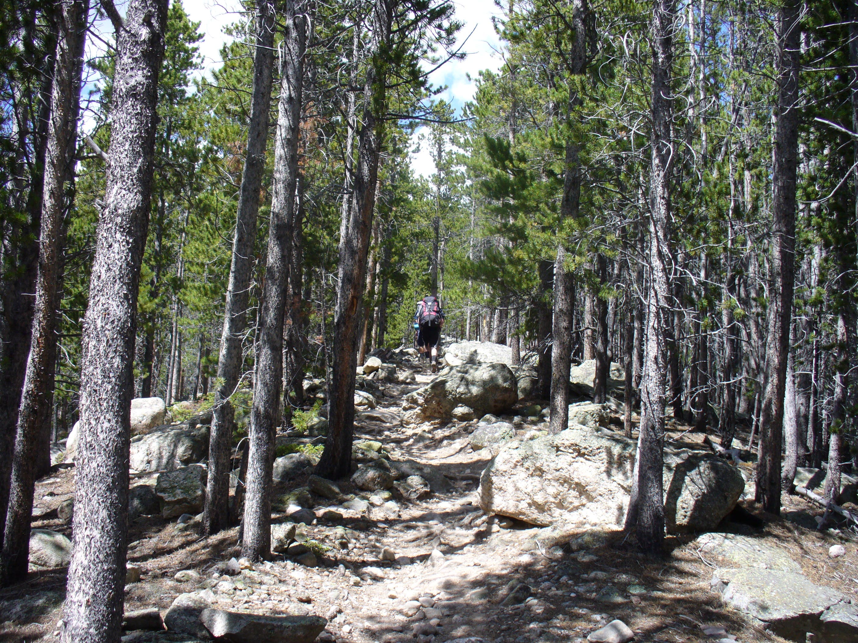
Pushing North
Location: 40.428917, -105.649638
The trail becomes steeper and rockier as you climb higher.
Backcountry Campsite
Location: 40.441901, -105.663371
Camping is available in developed sites just south of Ypsilon Lake.
Chipmunk Lake
Location: 40.43888, -105.662191
Pass tiny Chipmunk Lake, framed by Ypsilon Mountain and Fairchild Mountain to the north.
Ypsilon Lake
Location: 40.443012, -105.664272
Follow social trails to explore the shores of Ypsilon Lake. At the lake’s southeastern corner, a stream leads to picturesque cascades.