Published September 20, 2013 03:18PM
Rocky Mountain National Park: Ypsilon Lake Loop
On this 8.4-miler, you'll climb well-marked trails to the tentacle-like flanks of Ypsilon Mountain and its namesake lake, then return off-trail by following a mountain stream past unnamed waterfalls.
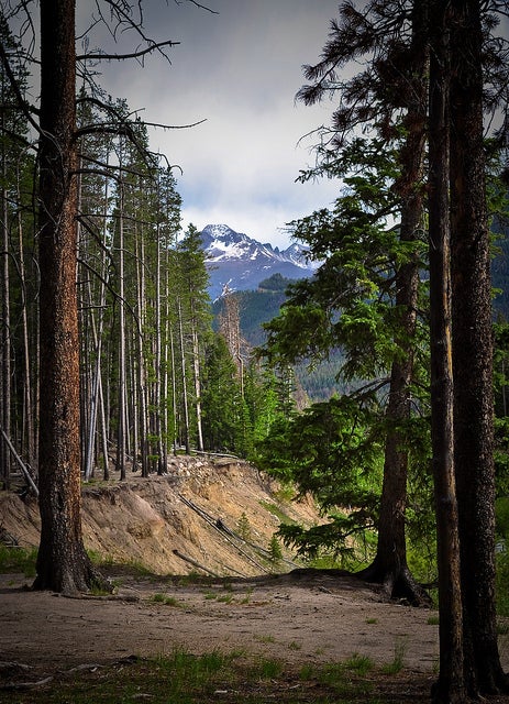
'Ypsilon Lake Trail (Photo by Marco Becerra)'
Hike Ypsilon Lake Loop
INFO For information on permits, current trail and camp conditions, and wilderness guidelines, go to nps.gov/romo/planyourvisit/backcountry.htm
PERMIT A wilderness permit is required for all overnight camping in the backcountry. Reservations accepted ($20 administrative fee for permits during peak season). nps.gov/romo/planyourvisit/backcntry_guide.htm
CONTACT Rocky Mountain National Park, (970) 586-1206; nps.gov/romo
ADVERTISEMENT
Trail Facts
- Distance: 13.5
Waypoints
YLT001
Location: 40.407383, -105.626213
Lawn Lake trailhead; trail climbs quickly with overlooks to Horseshoe River and Hidden Valley
YLT002
Location: 40.417667, -105.633469
Roaring River cuts a deep path into valley
YLT003
Location: 40.420017, -105.634987
L @ Y onto Ypsilon Lake Trail; cross river
YLT004
Location: 40.42585, -105.645515
Trail remains in woods but levels out
YLT005
Location: 40.439034, -105.662201
Take a breather @ Chipmunk Lake; main trail leads NW; avoid spur paths
YLT006
Location: 40.443813, -105.662277
Peer across Ypsilon Lake @ broad headwall; good spot for nap or yoga
YLT007
Location: 40.443218, -105.661751
ADVERTISEMENT
Begin off-trail hike; walk on the R side of the stream
YLT008
Location: 40.443184, -105.660797
Splendid waterfall into gorge; continue following animal paths downstream
YLT009
Location: 40.441849, -105.653648
Cross gurgling mountain brook
YLT010
Location: 40.4352, -105.64267
Caution: Dropoffs ahead; veer away from river on descent
YLT011
Location: 40.43195, -105.640335
Merge with the Roaring River; skip across river
YLT012
Location: 40.431149, -105.639801
Turn R onto Lawn Lake Trail; hike 2 mi. back to trailhead