Rocky Mountain National Park: Ypisilon Peak Loop

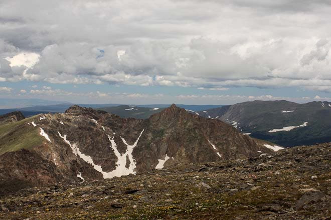
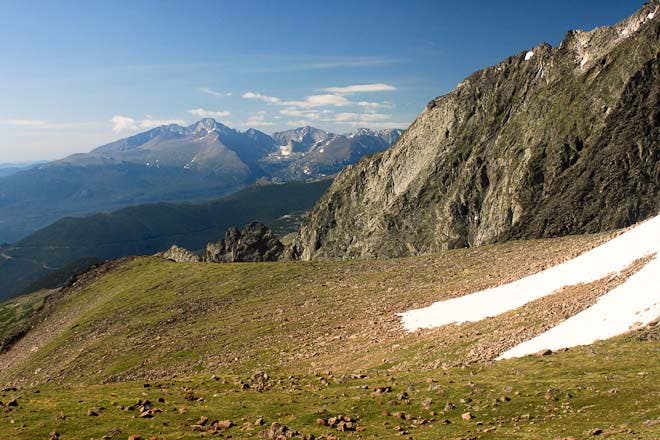
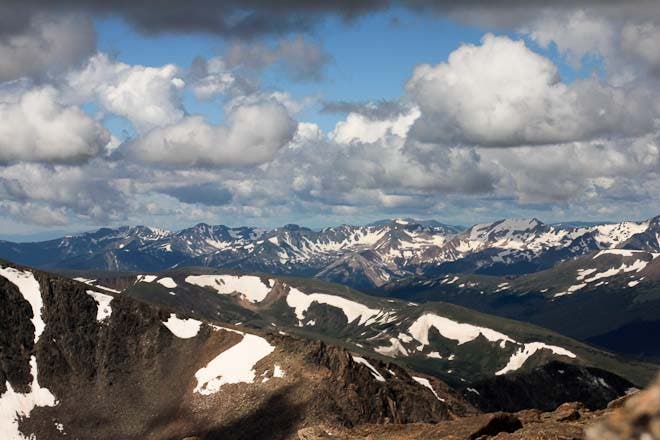
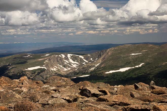
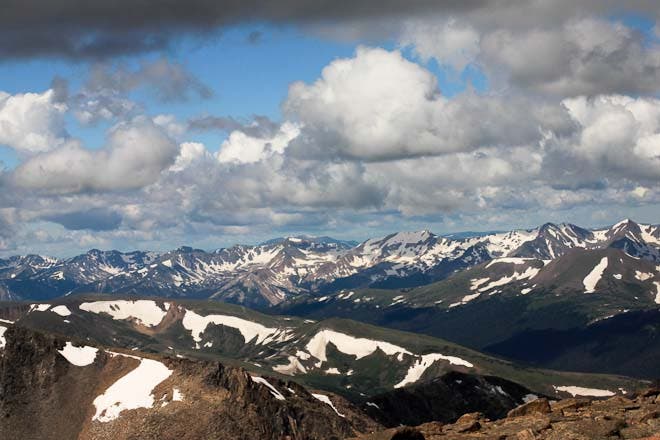
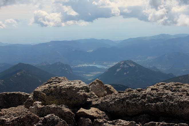
This three-day, 17.7-mile loop, featuring class 4 scrambles, nearly 6,000 feet of elevation gain, and off-trail route-finding, is not for the faint of heart. But the views of snow-speckled peaks stretching out to the horizon and the high-mountain solitude even in mid-summer make it a worthwhile journey for those who dare attempt it.
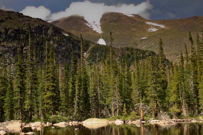
The first day is a mellow climb through mixed conifer forest to campsites at Ypsilon Lake. Get to bed early and rise at dawn on day two to avoid afternoon storms. Make your way up boulder fields and steep talus slopes to the southwest shoulder of Ypsilon Mountain. Traverse its rocky north side, before descending sharply on a scree field a saddle to the north. Clamber up another steep boulder field to Fairchild Mountain before descending gentler, meadowed slopes to find the trail from The Saddle, past Crystal Lakes, to Lawn Lake. Finish off the route on day three with an easy hike out on Lawn Lake Trail.
INFO For information on permits, current trail and camp conditions, and wilderness guidelines, go to nps.gov/romo/planyourvisit/backcountry.htm
PERMIT A wilderness permit is required for all overnight camping in the backcountry. Reservations accepted ($20 administrative fee for permits during peak season). nps.gov/romo/planyourvisit/backcntry_guide.htm
CONTACT Rocky Mountain National Park, (970) 586-1206; nps.gov/romo
-Mapped by Rachel Zurer



Trail Facts
- Distance: 28.5
Waypoints
YML001
Location: 40.407165, -105.626163
Begin at the Lawn Lake trailhead. There are latrines and a picnic area here, but no water, so tank up in town or at a visitor center.
YML002
Location: 40.414446, -105.633521
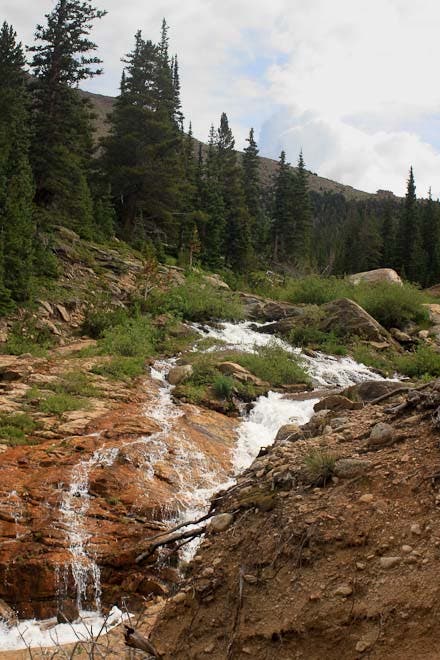
Horseshoe Falls
YML003
Location: 40.420025, -105.634764
Turn left on Ypsilon Lake Trail. The return route reconnects with the outbound route here.
YML004
Location: 40.419841, -105.635552
Cross the Roaring River on a log bridge.
YML005
Location: 40.425766, -105.645758
Forest cover opens up for a minute, but the trail continues to climb.
YML006
Location: 40.438945, -105.662577
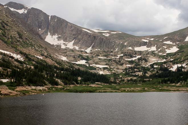
Chipmunk Lake
YML007
Location: 40.440777, -105.664508
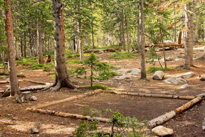
Turn right to access Upper Chipmunk campsite.
YML008
Location: 40.442007, -105.66365
Upper Chipmunk campsite
YML009
Location: 40.441325, -105.664714
Hitching post for horses
YML010
Location: 40.442799, -105.666032
Side trail to Ypsilon Lake heads right (east). Continue on path until it ends, then head west towards the basin below Ypsilon Mountain.
YML011
Location: 40.444023, -105.668714
Waterfall
YML012
Location: 40.445073, -105.672566
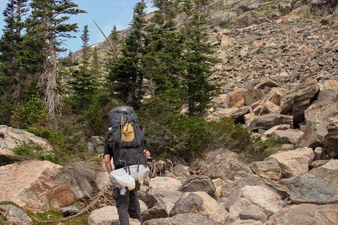
Cross above treeline. The terrain gets rockier as you hop across TV-sized boulders. Keeping heading west and uphill.
YML013
Location: 40.445412, -105.673982
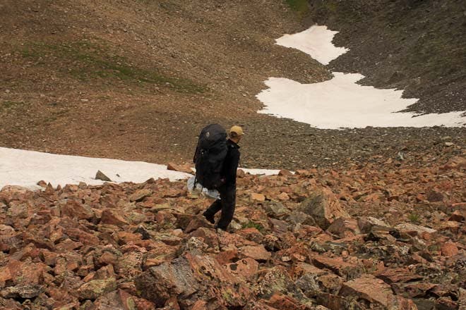
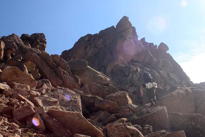
Keep clamboring across a very steep boulder field as you head west up the north edge of the cirque below Ypsilon Mountain.
YML014
Location: 40.446037, -105.675425
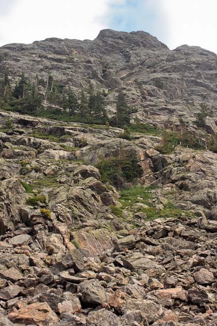
Continue finding your way up and west across extremely steep, rocky, alpine terrain.
YML015
Location: 40.449331, -105.685515
You may have to cross snowfields and climb 3-5 foot stretches of class 4 rock on your way up the north east side of the cirque.
YML016
Location: 40.451095, -105.688026
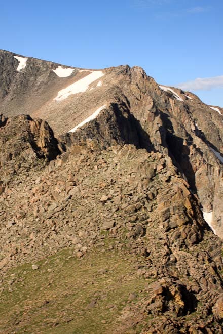
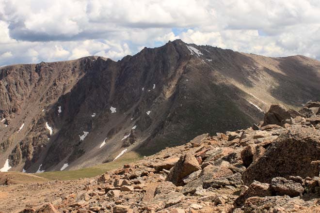
Crest the southwest ridge of Ypsilon Peak. From here, traverse north across mostly-level talus for a welcome respite from the intense climbs.
YML017
Location: 40.460907, -105.683541
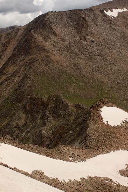
The respite is over at this saddle. Drop down the steep screen field, avoiding the precarious knife-edge ridge between Ypsilon and Fairchild Mountains.
YML018
Location: 40.462426, -105.678949
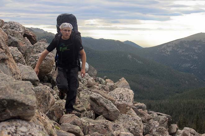
As the terrain levels, hop across boulders, avoiding snow fields. Keep an eye out for pikas amidst the rocks.
YML019
Location: 40.46396, -105.675087
Resume climbing the very steep south side of Fairchild. This section isn’t technical but requires class 3 and 4 scrambling across very large boulders.
YML020
Location: 40.466288, -105.675741
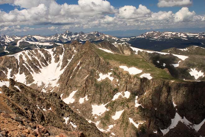
From the edge of Fairchild’s southwest shoulder, snag views of Desolation Peaks from a different angle before heading up to the northeast.
YML021
Location: 40.467715, -105.673628
The terrain gets even steeper. Keep heading west (nav tip: if you climb north too soon, you’ll cliff out).
YML022
Location: 40.468412, -105.671598
Crest a broad ridge below Fairchild’s summit. The tough climb is over. From here, the trip gets much easier.
YML023
Location: 40.468894, -105.668848
Drop packs and head east to summit 13,502-foot Fairchild Mountain.
YML024
Location: 40.468466, -105.664299
Fairchild Mountain: Take cover from the wind in the rock shelter. Backtrack to YML023 and turn right.
YML025
Location: 40.471208, -105.666718
After rounding the side of Fairchild, make your way down gentler, grassy slopes to the saddle below Hagues Peak.
YML026
Location: 40.480035, -105.657214
The trail resumes at this point on The Saddle.
YML027
Location: 40.4712, -105.635682
A side trail veers left (west) to Crystal Lakes. Continue the descent to Lawn Lake.
YML028
Location: 40.464686, -105.627623
Pass the Lawn Lake patrol cabin and the trail to campsites.
YML029
Location: 40.460836, -105.621561
Stay right on Lawn Lake Trail at the trail fork. Follow the path back to YML003 and continue straight to return to the trailhead.
Chipmunk Lake
Location: 40.438907, -105.662351
Pond near Upper Chipmunk
Location: 40.440807, -105.664229
Upper Chipmunk Campsite
Location: 40.442015, -105.663575
Waterfall
Location: 40.44414, -105.66882
Stick to the right and head up above this small cascade.
Cliffs
Location: 40.444204, -105.668996
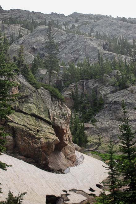
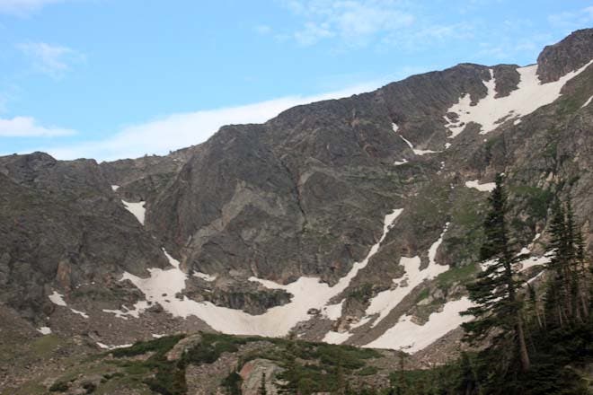
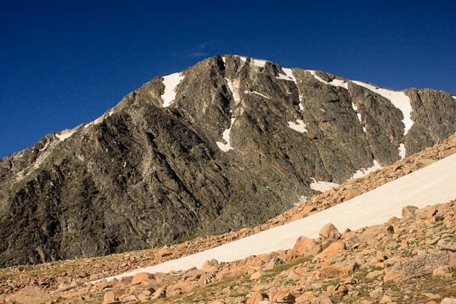
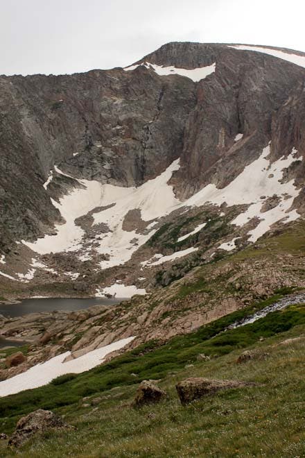
Snow lingers in August below rugged granite rock faces to the north east of your route.
Rocky Trail
Location: 40.445045, -105.67249
The terrain gets rockier as you approach treeline.
Rock Knob
Location: 40.445047, -105.672531
Keep heading uphill and west around the side of this knob.
Lichen on streaked rock
Location: 40.445392, -105.673724
Views to the south
Location: 40.445412, -105.673912
Traversing a boulderfield
Location: 40.44542, -105.674105
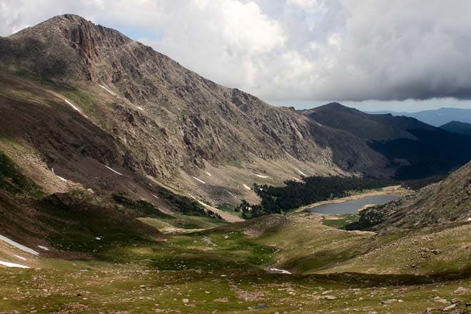
Basin below Ypsilon Mountain
Location: 40.445424, -105.674202
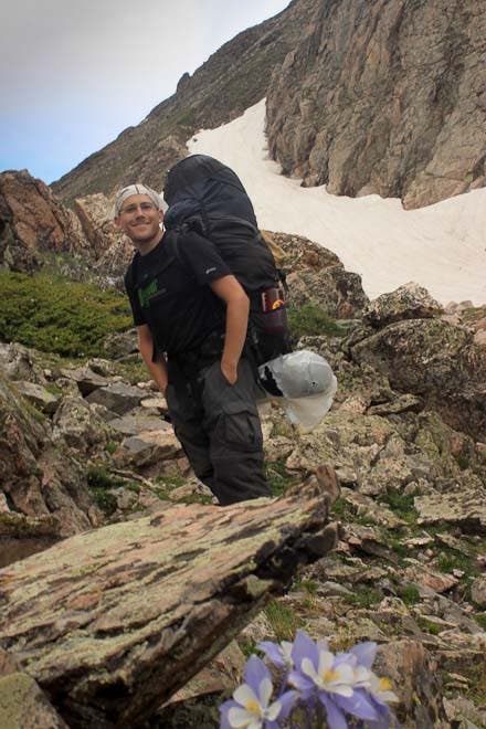
Columbine
Location: 40.446041, -105.675401
Colorado’s state flower grows in the alpine zone as the terrain gets steeper. Keep heading up.
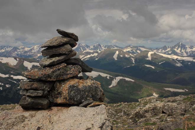
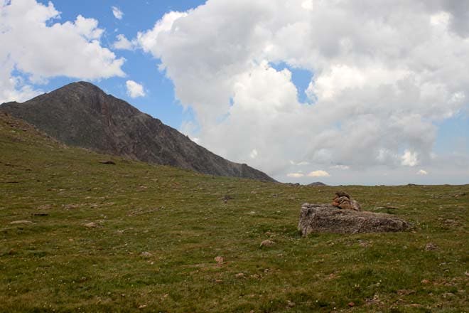
Cairn
Location: 40.451802, -105.688278
Enjoy views of the snow-streaked Never Summer Mountains to the west.
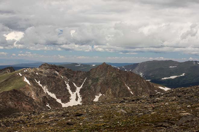
Desolation Peaks
Location: 40.453618, -105.688357
The jagged, crumbly peaks to the north.
Knife Edge
Location: 40.460932, -105.683402
Avoid this scary ridge by descending to the east.
Screefield Descent
Location: 40.460914, -105.683258
Ypsilon Mountain
Location: 40.46396, -105.674829
Looking east towards Fay Lakes
Location: 40.464727, -105.674561
Boulders
Location: 40.464848, -105.674551
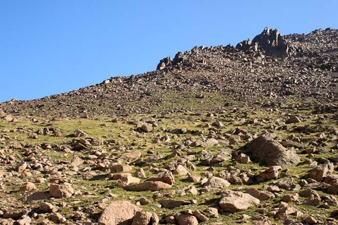
Large rocks dot the alpine fairway as you climb towards Fairchild.
Desolation Peaks
Location: 40.466331, -105.675618
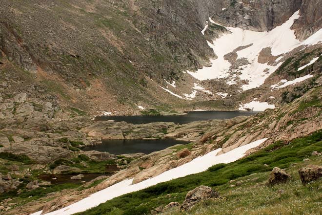
With unnamed lake below.
Views from below Fairchild Mountain
Location: 40.466388, -105.675604
Looking back towards Ypsilon Peak
Location: 40.46667, -105.675296
The knife-edge you avoided.
Boulder Piles
Location: 40.467727, -105.673521
From the top, the peaks never end
Location: 40.468458, -105.664294
Glacial Valley
Location: 40.468482, -105.664423
Peaks
Location: 40.468474, -105.664541
Grand Lake
Location: 40.468482, -105.664262
Hagues Peak
Location: 40.471276, -105.666716
Looking down toward Hague Creek
Location: 40.471327, -105.66662
Gentler Slopes
Location: 40.477823, -105.660408
Views to the west
Location: 40.480594, -105.658929
The Saddle
Location: 40.480031, -105.657095
Looking back at Fairchild
Location: 40.475073, -105.643245
Crystal Lakes
Location: 40.475073, -105.643245
Lawn Lake
Location: 40.466413, -105.629107
Roaring River
Location: 40.45172, -105.626825