Rocky Mountain National Park: Ouzel Falls

From the Wild Basin Trailhead, head southwest through an evergreen corridor mixed with aspen. In .4 mile, the trail passes Copeland Falls. Bear left onto a rocky spur for views overlooking the falls, or keep right on the main trail to continue hiking. Massive boulders flank the trail and rugged cliff bands rise dramatically on the right.
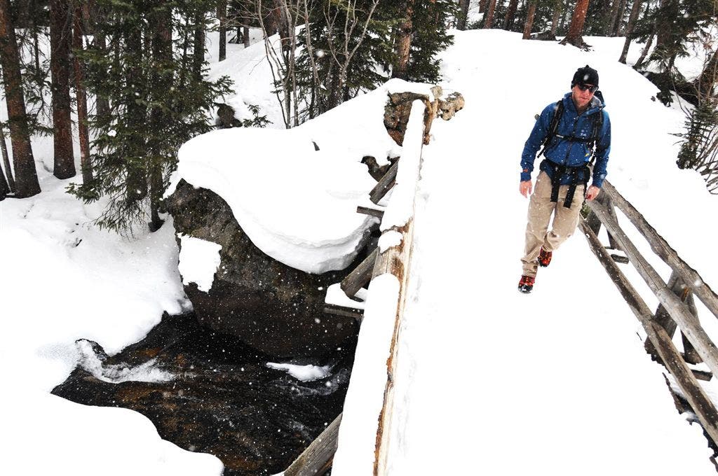
After 1.5 miles, cross a wooden bridge over St. Vrain Creek and start a moderate climb to the Calypso Cascades. The route heads west at the cascades and passes a several clearings with views across Wild Basin (on cloud-free days, look for Longs Peak to the north).
At mile 2.6, Ouzel Falls comes into view. For up-close views, leave the trail and head west to reach the bottom of the falls. Drop your pack and take a break next to the falls before retracing the same route back to the trailhead.
HIKE OUZEL FALLS
INFO For information on permits, current trail and camp conditions, and wilderness guidelines, go to nps.gov/romo/planyourvisit/backcountry.htm
PERMIT A wilderness permit is required for all overnight camping in the backcountry. Reservations accepted ($20 administrative fee for permits during peak season). nps.gov/romo/planyourvisit/backcntry_guide.htm
CONTACT Rocky Mountain National Park, (970) 586-1206; nps.gov/romo
-Mapped by Kim Phillips and Mark Harrison
Trail Facts
- Distance: 8.5
Waypoints
OUZ001
Location: 40.208218, -105.566437
Wild Basin parking area and trailhead; ranger’s cabin; bathrooms. In the winter time, park 1.1 miles up the road at the winter trailhead.
OUZ002
Location: 40.207748, -105.566551
Trailhead; cross bridge and head southwest through a corridor of conifers and aspen. Mountain lion sightings aren’t extremely common here, but they do happen.
OUZ003
Location: 40.206016, -105.570519
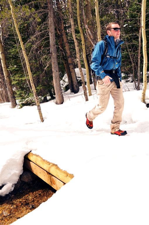
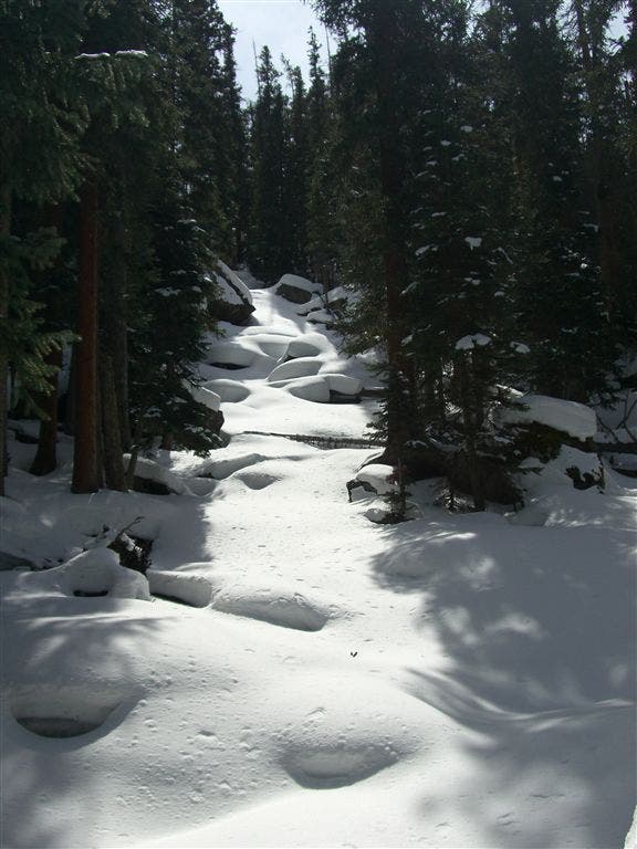
Creek crossing on wooden bridge; views through the trees of ridgeline. Several creeks run alongside and bisect the trail on the way up to Ouzel Falls.
OUZ004
Location: 40.205124, -105.571335
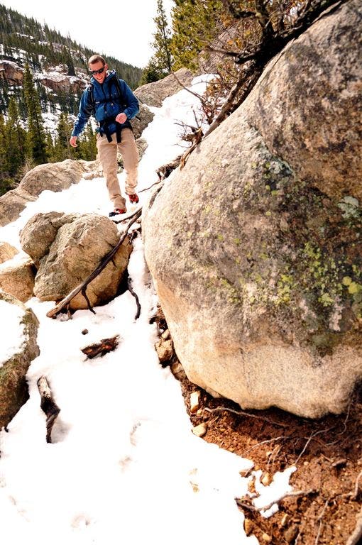
Bear right @ Y-junction. Side trip: To see Copeland Falls, bear left @ junction and follow rocky spur trail to lookout over the lower or upper falls.15-foot boulders sit between aspens on right side of trail. Footing can be precarious here in the winter.
OUZ005
Location: 40.204182, -105.57283
Rock-strewn trail; pass boulders; cliffs rise on right side of trail.
OUZ006
Location: 40.203968, -105.573135
Keep straight @ 3-way. The trail to the left leads to a longer sidetrip to Copeland Falls.
OUZ007
Location: 40.203049, -105.577347
Listen for the rushing creek.
OUZ008
Location: 40.200932, -105.582397
Creek comes into view; rock slab on right
OUZ009
Location: 40.200748, -105.58297
Climb several rock steps as the trail turns away from the creek bed.
OUZ010
Location: 40.200333, -105.587913
Pass Pine Ridge campsite on right.
OUZ011
Location: 40.1996, -105.588364
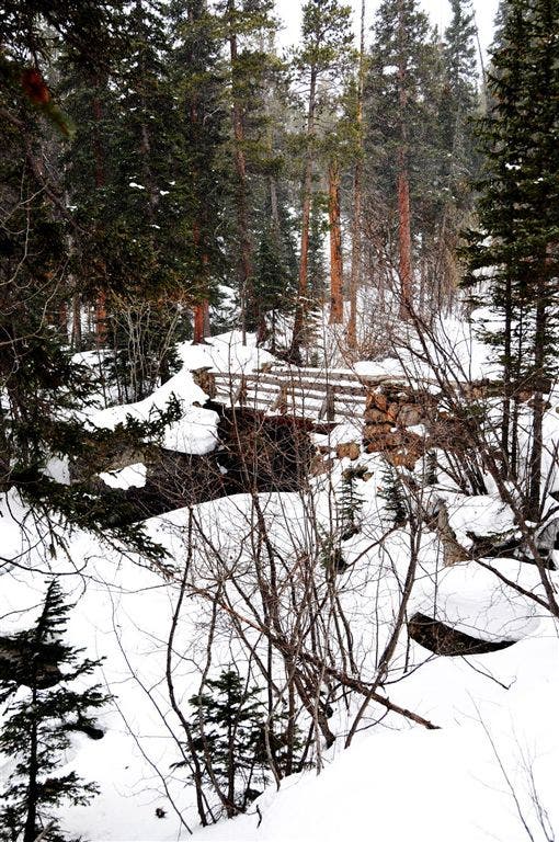
Cross bridge over St. Vrain Creek. From here the grade of the trail ticks up a notch, gaining 500 feet of elevation in the next 1.2 miles.
OUZ012
Location: 40.195534, -105.590401
Turn right @ T-junction. Cross wooden bridge over creek. Calypso Cascades tumble down rocky, forested slopes on the left.
OUZ013
Location: 40.195534, -105.590965
Cross bridge
OUZ014
Location: 40.196732, -105.593483
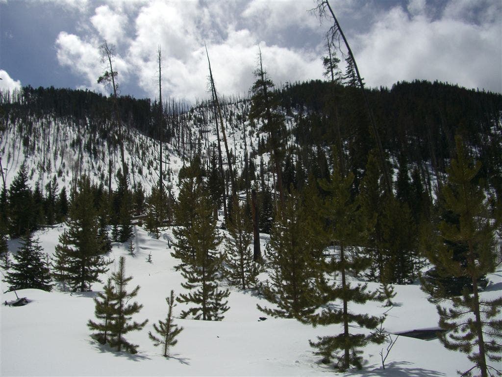
Trail passes through an open glade clearing. Views of ridgeline and peaks to the north.
OUZ015
Location: 40.1978, -105.595665
Small overlook with views down the basin. From here, the trail ascends a series of switchbacks on the approach to the Falls.
OUZ016
Location: 40.19865, -105.599716
Ouzel Falls: For closer views, turn left off trail to bottom of the falls.
Creek Crossing
Location: 40.205654, -105.57077
Spur Trail to Copeland Falls
Location: 40.205288, -105.571236
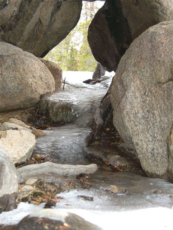
Melting Snow and Ice
Location: 40.204121, -105.572952
Bridge on St. Vrain Creek
Location: 40.200497, -105.58744
Bridge Crossing
Location: 40.199696, -105.588242
Cross the St. Vrain Creek on a wooden bridge.
Calypso Cascades
Location: 40.195641, -105.590492
Open Glade Clearing
Location: 40.196762, -105.593376