Rocky Mountain National Park: Lone Pine Lake via East Inlet Trail

This trail winds from the East Portal Trailhead through a jaw-dropping valley, rolling over to two family-friendly destinations—the Adams Falls overlook at mile 0.4 and a spectacular valley viewpoint at mile 1.5—before tucking into a pine-strewn forest and veering uphill. An exposed wall of twisted metamorphic rock lines the trail before it flattens around a river rapid overlook. Another uphill push leads 1.3 miles to an island campsite less than 0.5 mile from Lone Pine Lake, a perfect shoreline for fishing or exploring.
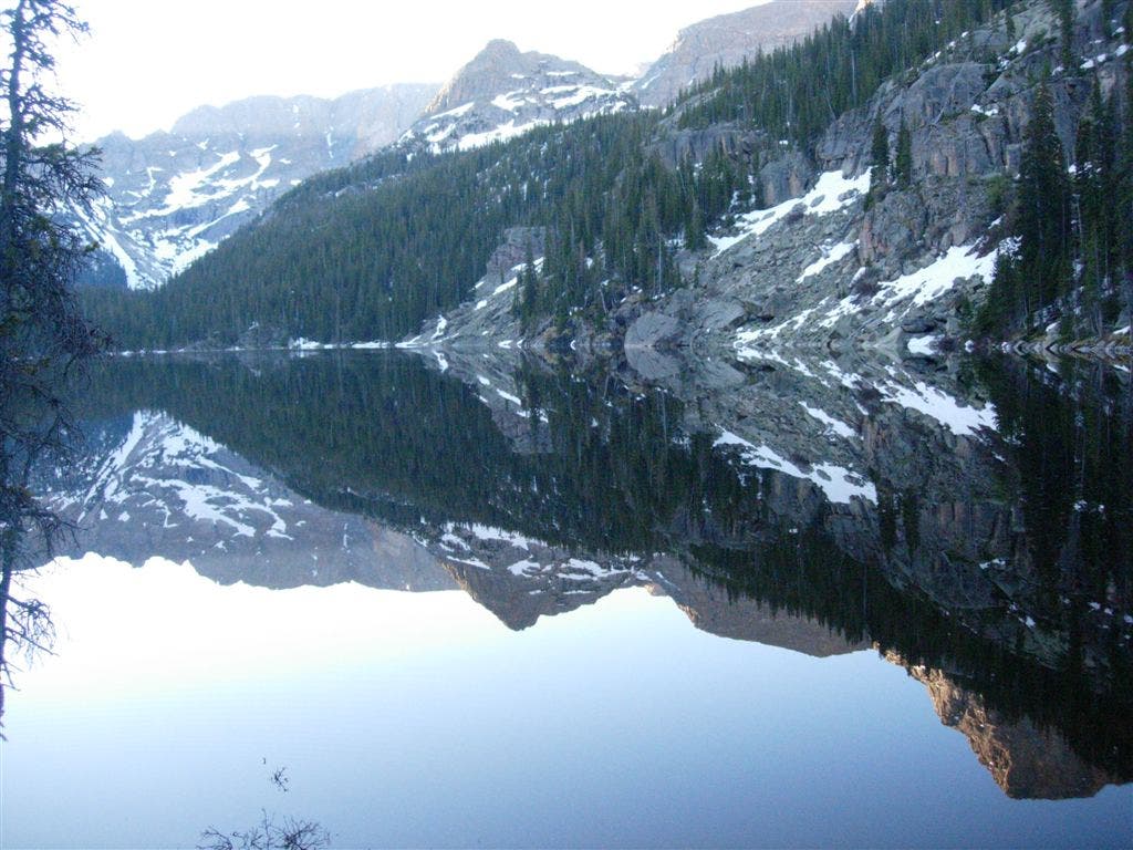
Above Lone Pine, the trail stays on the valley’s northern side as it approaches Lake Verna. The 4 mile round trip between the lakes is great as an early morning wake-up when alpenglow casts an otherworldly aura over its half-mile long surface.
Note: Backcountry campsites along this trail can be difficult to find. If you’re looking for a specific site, with the exception of the two mentioned above, ask rangers for a detailed description of the campsite area.
Hike Lone Pine Lake via East Inlet Trail
INFO For information on permits, current trail and camp conditions, and wilderness guidelines, go to nps.gov/romo/planyourvisit/backcountry.htm
PERMIT A wilderness permit is required for all overnight camping in the backcountry. Reservations accepted ($20 administrative fee for permits during peak season). nps.gov/romo/planyourvisit/backcntry_guide.htm
CONTACT Rocky Mountain National Park, (970) 586-1206; nps.gov/romo
-Mapped by Kristy Holland
Trail Facts
- Distance: 21.7
Waypoints
LPL001
Location: 40.239391, -105.799863
Hike south on East Inlet Trail.
LPL002
Location: 40.237147, -105.797546
Go straight @ 3-way junction following the sign toward Lone Pine Lake and all the area’s backcountry campsites, or turn left for a 15-minute detour to Adams Falls. The detour descends easy rock steps toward the overlook and climbs back to join the main trail ahead.
LPL003
Location: 40.237312, -105.793449
The trail is easy and flat as it winds under aspen and pine along the valley floor.
LPL004
Location: 40.237425, -105.784349
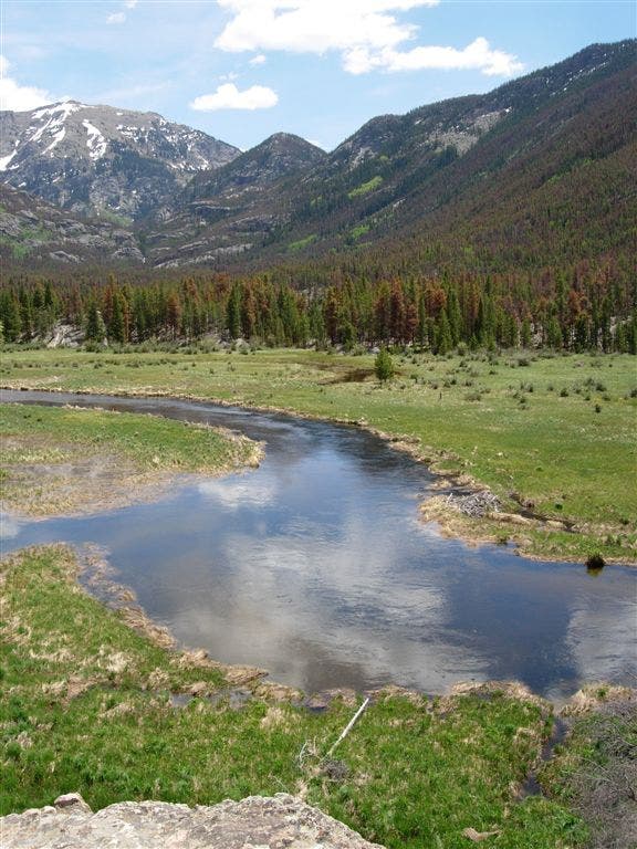
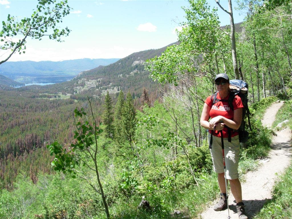
The entire valley is visible form this rocky viewpoint. Watch for moose grazing the meadow’s edge and beaver active in the marshland below.
LPL005
Location: 40.237163, -105.779114
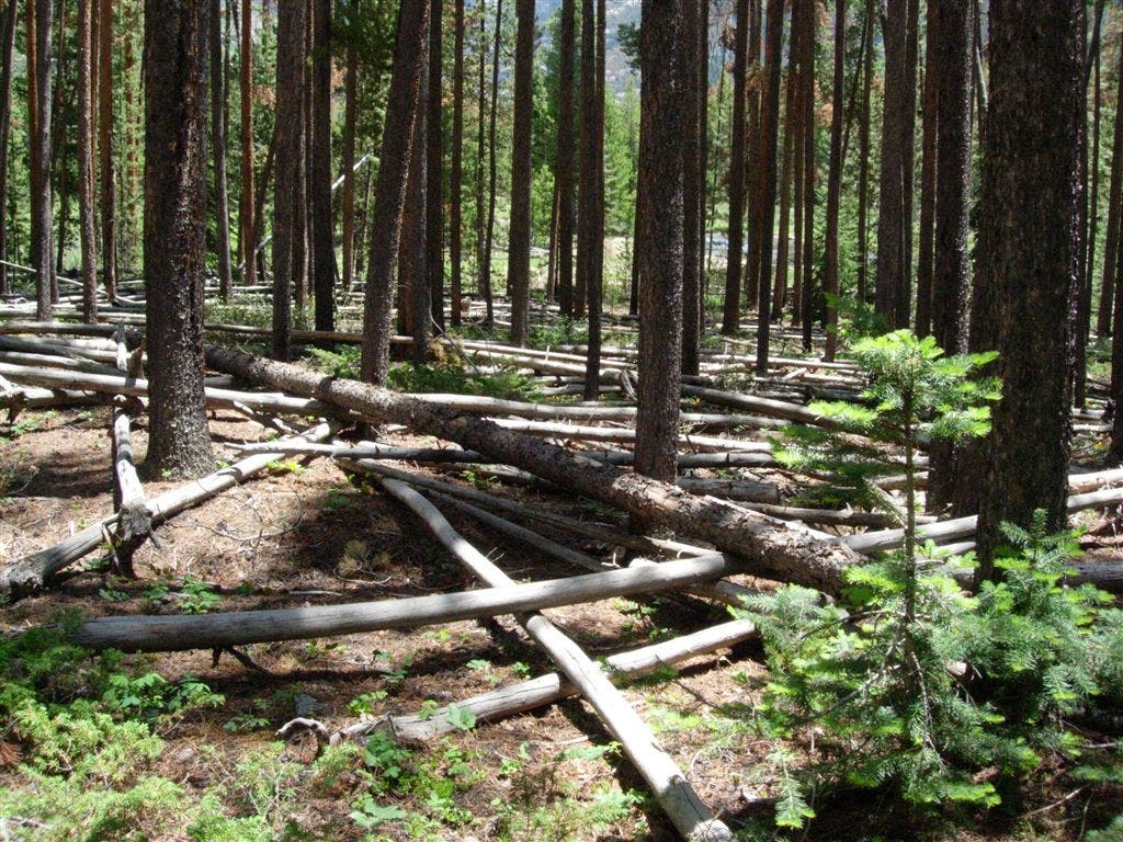
The open forest shading this flat section of trail has little understory and is littered will fallen pine trees.
LPL006
Location: 40.236033, -105.772569
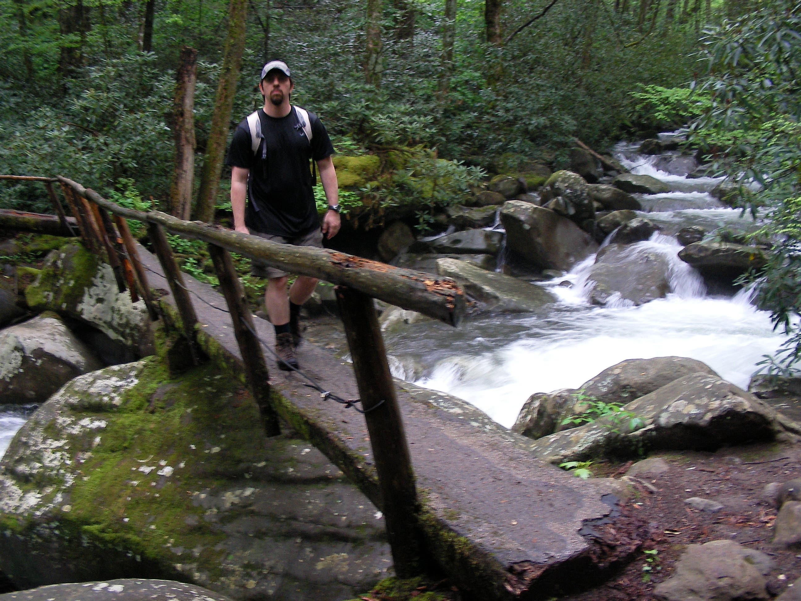
Cross the first of several split-log bridges along the trail.
LPL007
Location: 40.229841, -105.759737
The trail turns rocky as it climbs beneath granite glacier deposits and offers views of Mount Wescott’s steep northwest slope.
LPL008
Location: 40.229644, -105.759523
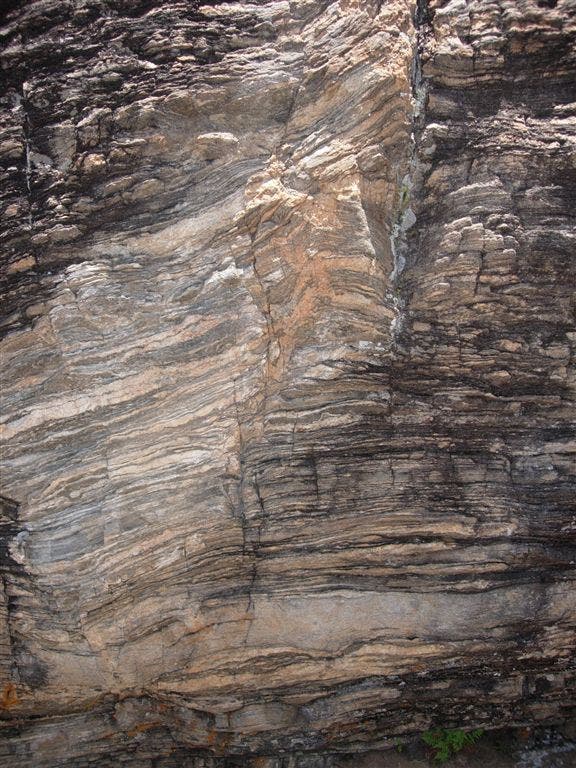
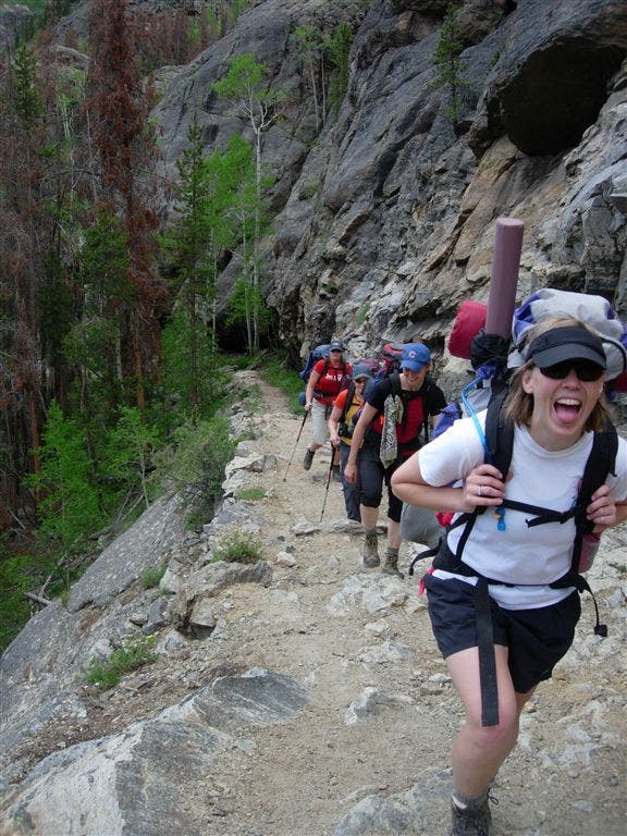
Overhanging bluffs of folded phyllite and schist line the left-hand side of the trail as it rises above the valley floor.
LPL009
Location: 40.229988, -105.758364
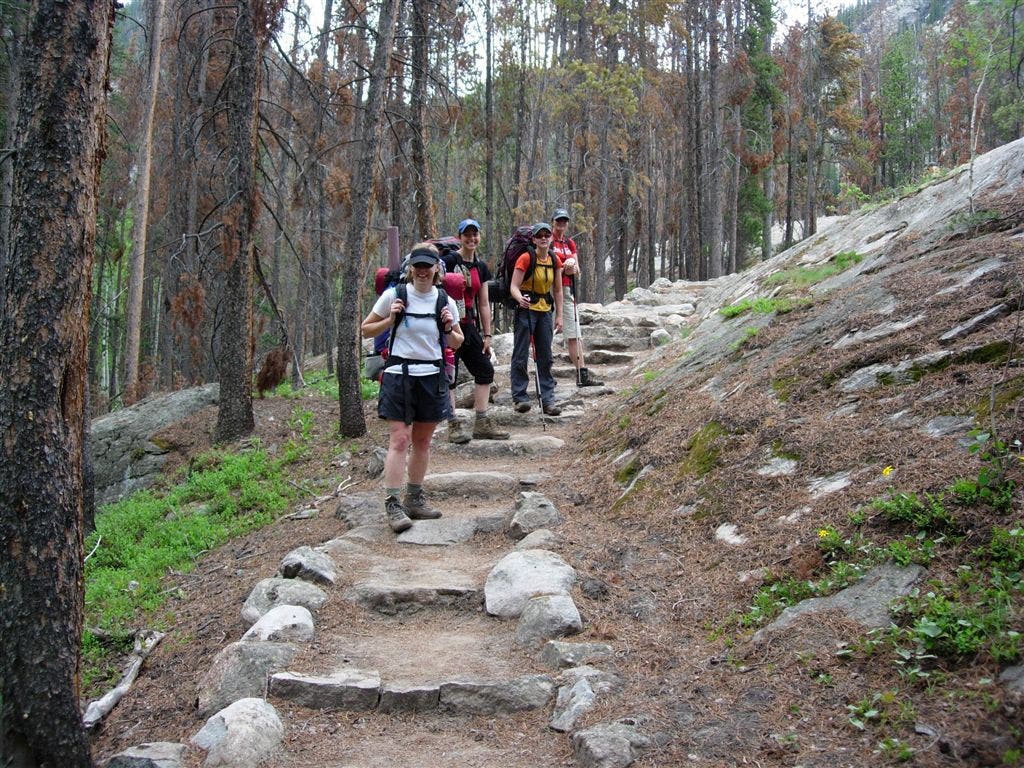
A set of well-maintained steps leads away from the valley edge and begins a short descent to the river.
LPL010
Location: 40.227482, -105.754952
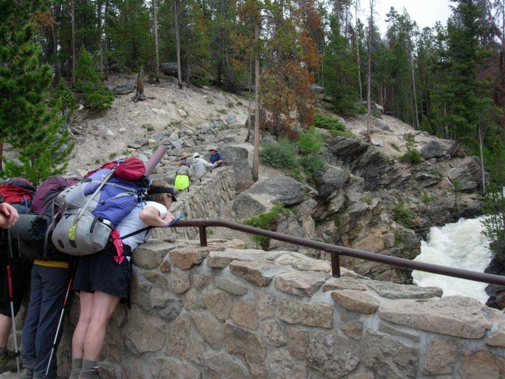
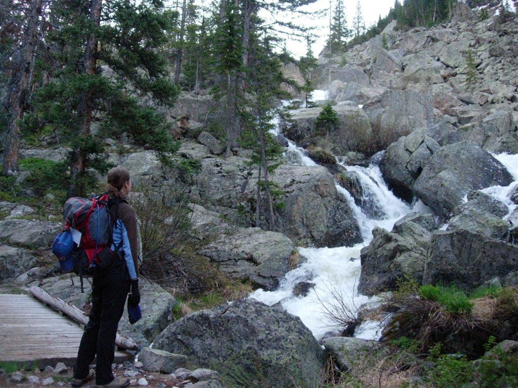
Another set of stone steps leads to a river rapid overlook. The East Inlet churns 50-feet below the boulder’s edge.
LPL011
Location: 40.226237, -105.742528
A split-log bridge marks the beginning of a more intense 1.3-mile climb toward Lone Pine Lake.
LPL012
Location: 40.230447, -105.736113
Access the Grey Jay group campsite via a narrow 12-foot log bridge that is 6-8 feet above the water. There is no handrail, so be sure to unclip your pack before crossing and be prepared to offer help to group members who are afraid of heights.
LPL013
Location: 40.231168, -105.732915
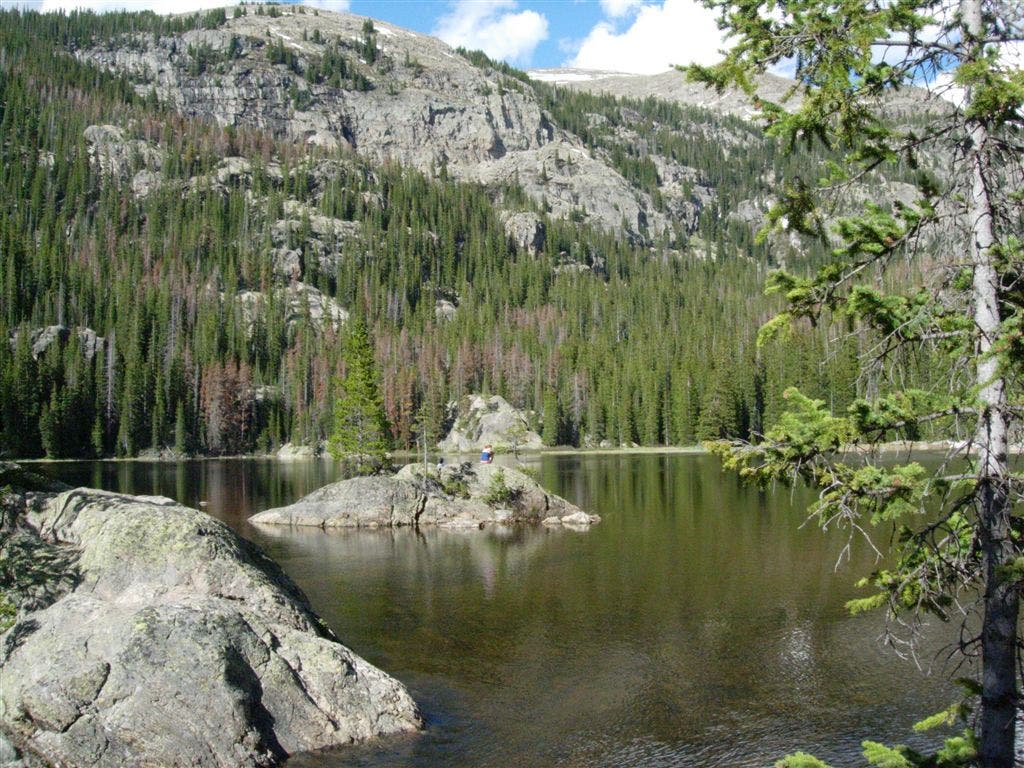
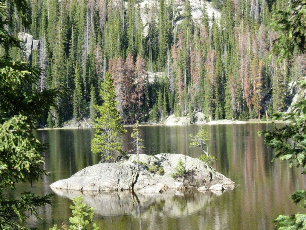
There is a solitary pine on a small island in Lone Pine Lake, 5.3 miles from the trailhead. A rocky outcropping in this area overlooks prime fishing territory and makes for a great picnic spot.
LPL014
Location: 40.233318, -105.726799
Turning abruptly south, the trail footing turns to large rocks as it climbs a west-facing ledge.
LPL015
Location: 40.231397, -105.725985
Cross the wooden bridge that overlooks a scree field. Listen closely for the sound of pica chirping over the noise of the river.
LPL016
Location: 40.227482, -105.711693
A small peninsula juts into the lake and offers views of its entire shoreline.
LPL017
Location: 40.227696, -105.711006
The Lake Verna backcountry campsite sits a few hundred feet from the rocky shore of Lave Verna.
LPL018
Location: 40.225498, -105.701912
After bushwacking and scrambling along the northern shore of Vernal Lake, the trail all but disappears below a pica-inhabited pile of rocky debris.
Lone Pine Lake
Location: 40.231168, -105.732701
The lower reaches of Ptarmigan Mountain touch the northern shore of Lone Pine Lake.
Adams Falls Viewpoint
Location: 40.236416, -105.797432
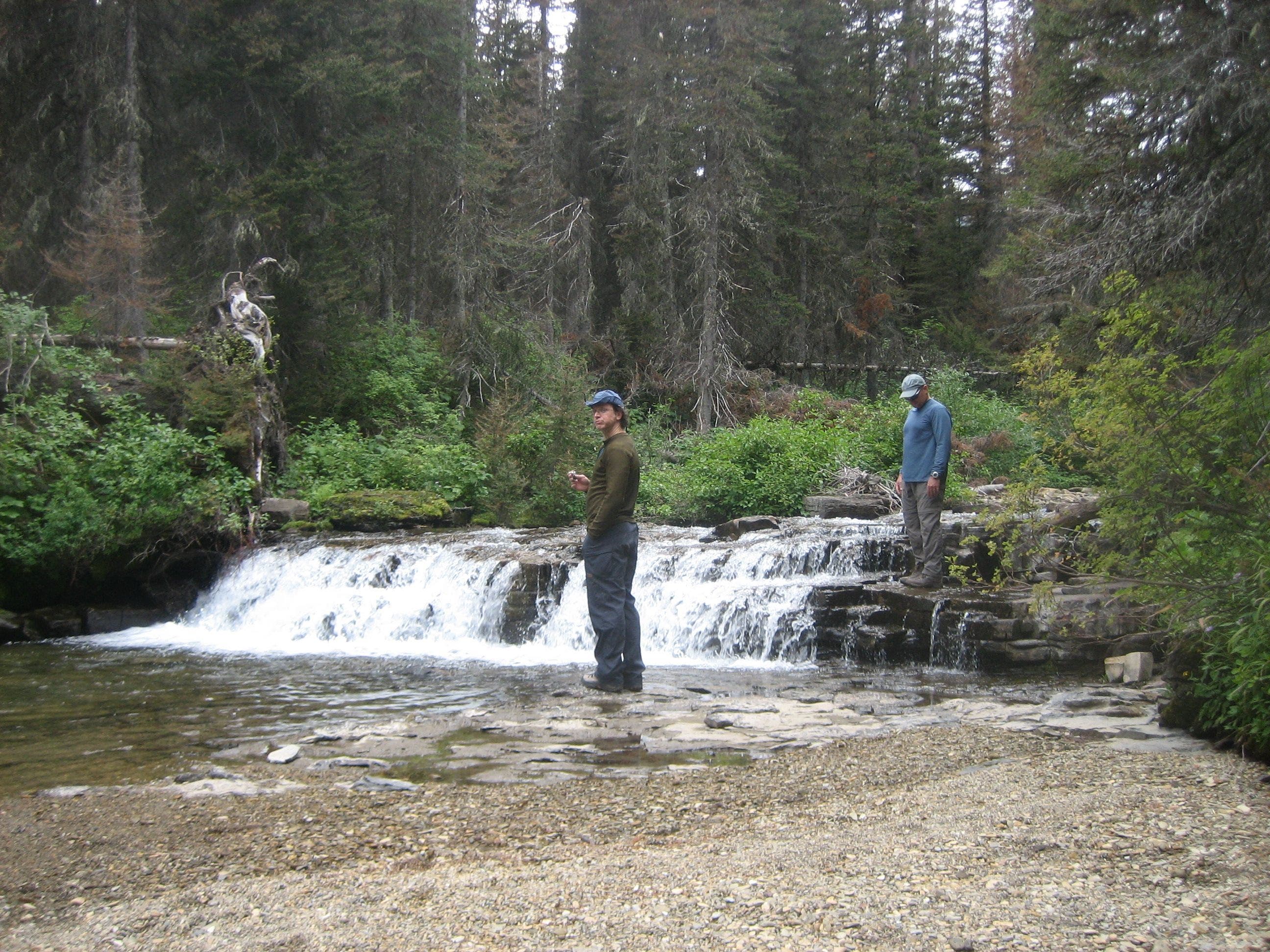
Many hikers take the short detour to the Adams Falls overlook. A stone wall separates spectators from the raging cascade.
East Inlet Valley
Location: 40.237425, -105.784135
With a closer look, the beaver dam on the river’s right bank will distract from the sweeping valley view.
East Inlet Valley
Location: 40.237442, -105.783877
A south-facing view of the East Inlet Valley and distant peaks.
Fallen Pine
Location: 40.237163, -105.778835
Lodgepole pine litter the forest floor.
Bridge
Location: 40.236016, -105.772333
There are several bridged stream crossings along this early section of the trail. Use the handrails when you have them and watch your footing over wet logs.
Grand Lake
Location: 40.231577, -105.762033
Views of Grand Lake and the valley below reward hikers who stop and look back as they climb.
Rock
Location: 40.229906, -105.759523
Black and coral-colored layers of rock along this section are a dramatic contrast to the trail’s early, forested miles.
Rock Wall
Location: 40.229628, -105.759265
The rockiness and intensity of the climb–and climbers–increases as the trail turns uphill below the striped bluffs.
Steps
Location: 40.230005, -105.758085
The well-kept trail descends stone steps before a raging-river viewpoint.
Falls
Location: 40.227482, -105.754673
An enormous boulder provides a natural platform for admiring rapids on the East Inlet.
Lone Pine Island
Location: 40.231282, -105.732851
A solitary pine thrives on the small island less than 100 yards–wading distance–from the shore.
Scree Field
Location: 40.231381, -105.725749
The trail to Lake Verna crosses the East Inlet’s upper reaches several times as it hugs the northern side of a narrow valley.
Lake Verna
Location: 40.227498, -105.711501
Lake Verna’s smooth surface casts a crystal-clear refection of the early-morning alpenglow.
Unimproved Trail
Location: 40.22776, -105.708861
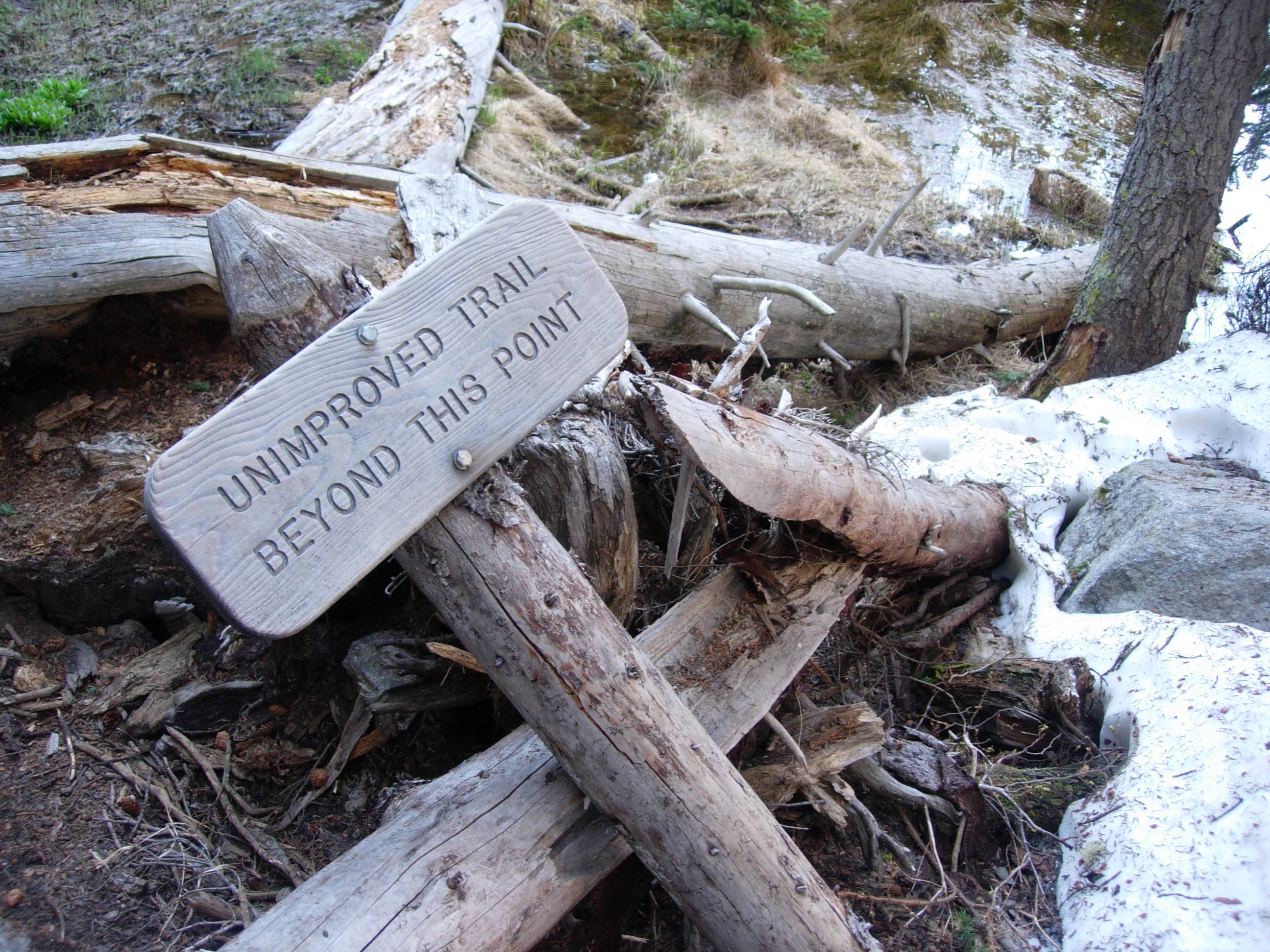
Although current trail maps indicate otherwise, the well-maintained trail ends abruptly with a skewed warning sign shortly after passing the Lake Verna campsite.