Rocky Mountain National Park: Flattop Mountain

From Bear Lake, this 8.1-mile out-and-back begins by heading northwest on the Flattop Mountain Trail. The methodical upward climb—over 2,800 feet in 4 miles—begins almost immediately and traverses rich conifer forests intermixed with aspen. At mile 1.6, catch your breath at the impressive view of Dream Lake’s shimmering surface against the rugged mountains. From the overlook, continue upward on the tight, switchbacking trail.
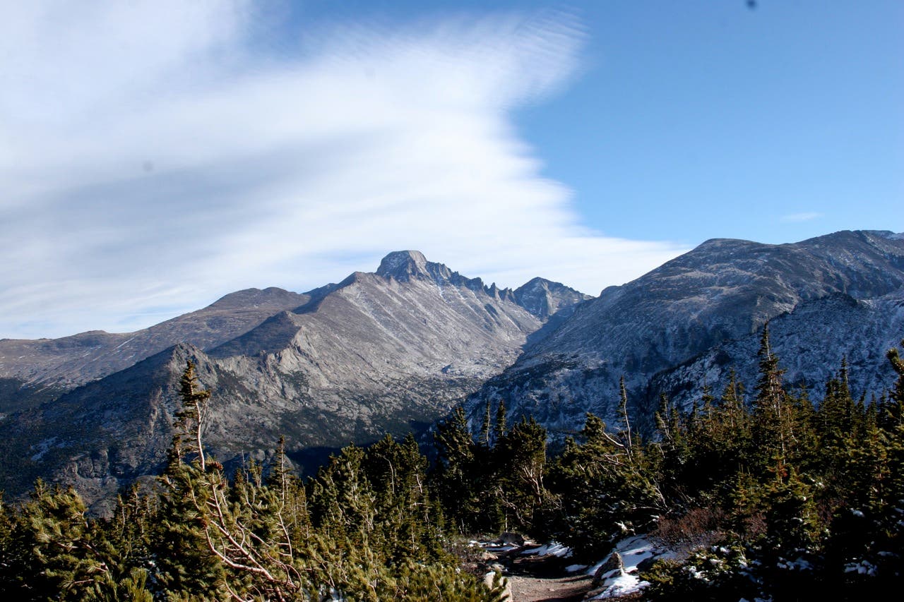
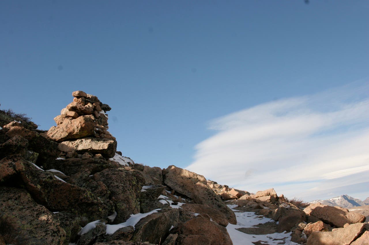
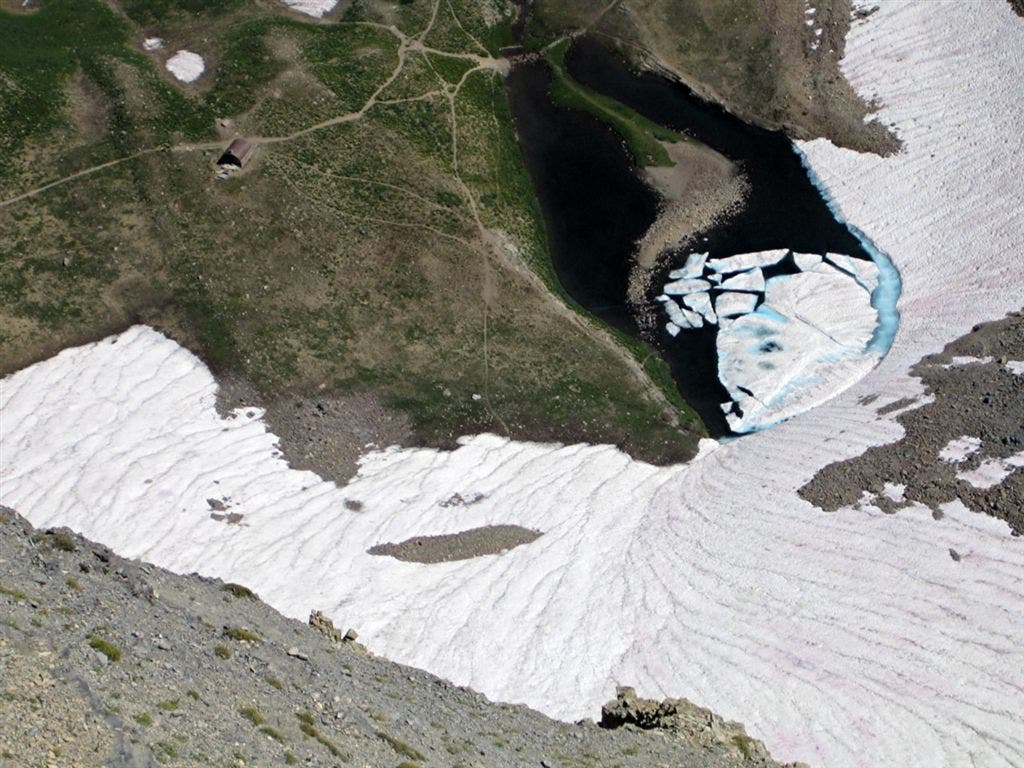
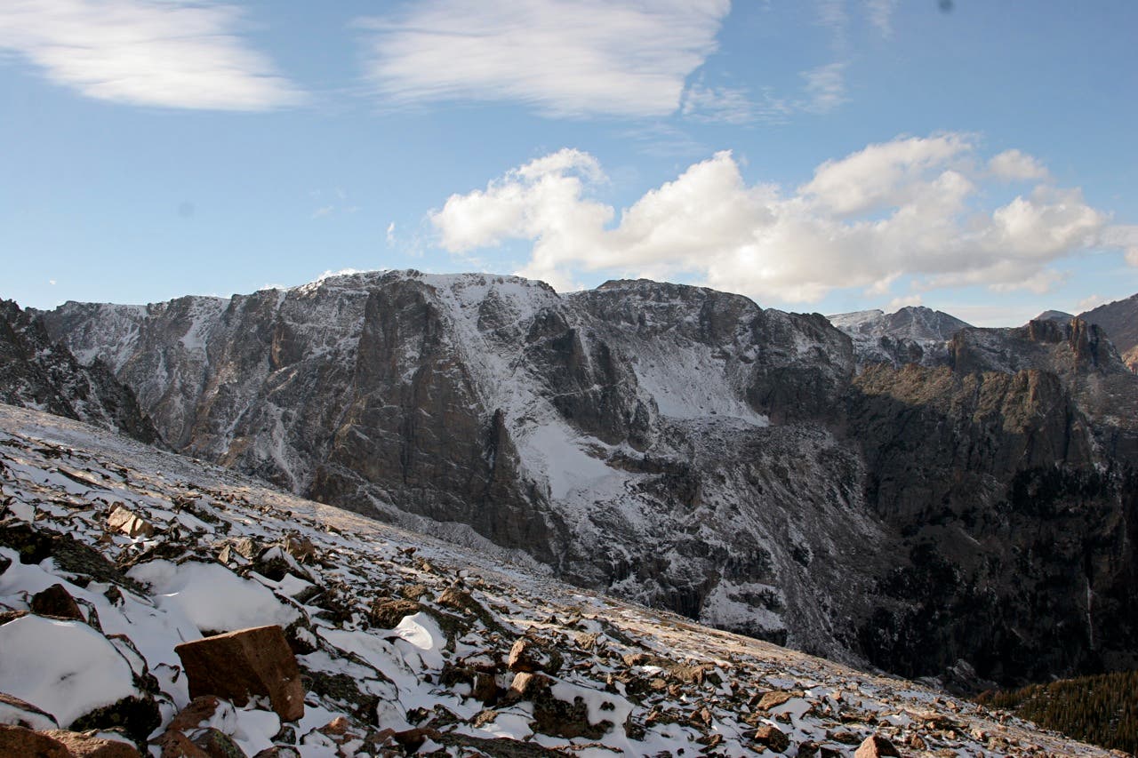
Just before breaking treeline, the trail passes another overlook above Emerald Lake. Stop for views of Glacier Gorge and Longs Peak that open up to the southeast. Look southwest toward Hallett Peak, and pick out the level profile of Flattop Mountain by following Tyndall Gorge’s contour to the west. The remaining 1.3 miles are a long, slow grind up Flattop Mountain’s high-alpine eastern slope. During the winter or if the trail is dusted with snow, follow large rock cairns leading to the mountain’s north side.
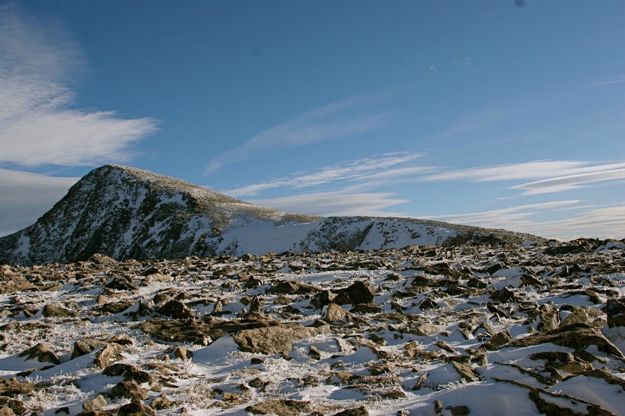
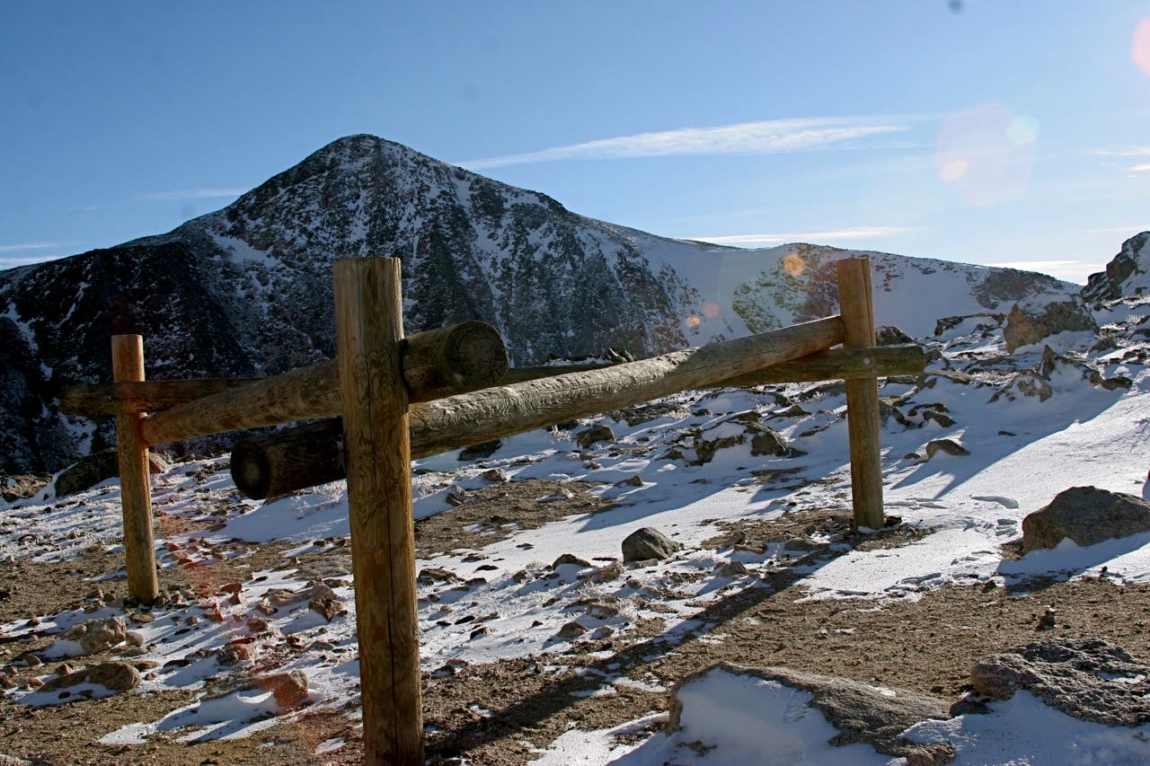
Just before summiting, (the trail junction on the indistinct peak is generally considered the highpoint), you’ll pass a hitch rack at the top of Tyndall Glacier. If peak-bagging is your goal, consider adding 1 mile with an out-and-back to Hallett Peak.
-Mapped by Tim Shisler and Jenn Fields
PLAN IT
MAP
Rocky Mountain National Park ($12, natgeomaps.com)
Order USGS topo quads at store.usgs.gov.
Order a custom map of this route using MyTopo.com
CONDITIONS Trail Ridge Road is closed from November to April. Check conditions for the east side of the park check Estes Park, CO (80517) Weather
PERMIT $20 for entry to Rocky Mountain National Park; (970) 586-1242, nps.gov/romo
ROCKY MOUNTAIN NATIONAL PARK INFO
Visitor Information (970) 586-1206 (daily, 8 a.m. to 4:30 p.m. Mountain Time; recorded information after hours)
Trail Ridge Road Information Recorded Message 970-586-1222 (available 24 hours a day, updated when conditions and/or road status change)
Visitor Information for the Hearing Impaired (TTY): 970-586-1319 (daily, 8 a.m. to 5 p.m. Mountain Time)
Backcountry Office (970) 586-1242
OTHER RESOURCES
GAS
Shell 860 Moraine Ave. Estes Park, CO (970) 586-7867
GEAR
Grab supplies or gear rentals (packs, bags, pads, and fishing gear) at Estes Park Mountain Shop, 2050 Big Thompson Ave., Estes Park, CO; (866) 303-6548.
GROCERIES
The Country Market National Park Village 900 Moraine Ave. Estes Park, Colorado (970) 586-2702
RESTAURANTS
Try a Mountain Mai Tai and the buffalo-and-bacon meatloaf at Peak-to-Peak American Grille, 451 South Saint Vrain Ave., Estes Park, CO; (970) 577-0577
Trail Facts
- Distance: 13.0
Waypoints
FTM001
Location: 40.312053, -105.645679
From the west side of the Bear Lake Trailhead parking area, head east toward the lake for 0.1 mile.
FTM002
Location: 40.31346, -105.64687
Turn right at 3-way junction onto the Flattop Mountain Trail. Begin a steady ascent through spruce, fir, and aspen stands.
FTM003
Location: 40.317117, -105.644853
Turn left at the 3-way junction near mile 0.5 and continue toward Flattop Mountain. The right-hand trail heads east toward Bierstadt Lake, Glacier Basin, and several backcountry campsites.
FTM004
Location: 40.316512, -105.653222
Turn left at 3-way junction and continue ascending through the trees. Peek-a-boo views of Glacier Gorge begin emerging to the southwest.
FTM005
Location: 40.312569, -105.659176
Catch your breath at Dream Lake Overlook where you’ll find an impressive bird’s-eye view of Dream Lake more than 1,000-feet below. The trail continues ascending through thick forest on the switchbacking trail.
FTM006
Location: 40.315293, -105.665474
The forest thins as the trail approaches 11,000 feet above sea level (about 1,500 feet above the trailhead). During summer months, afternoon storms can build quickly, so hit the trail early and evaluate the weather before continuing into higher elevations.
FTM007
Location: 40.314957, -105.669497
Halfway up a series of tight switchbacks is Emerald Lake overlook. Look west for a peek at one of the park’s last remaining glaciers (Tyndall Glacier) at the head of Tyndall Gorge. Both Glacier Gorge and Longs Peak are also clearly visible to the southeast.
FTM008
Location: 40.310466, -105.68396
Just below the summit, you’ll pass a hitching post marking the top of Tyndall Glacier. The trail quickly ascends the last few hundred feet to the top of Flattop Mountain.
FTM009
Location: 40.308756, -105.690301
The 12,324-foot summit of Flattop Mountain is a level swath of alpine tundra. There is no official summit marker, but hikers generally consider the Flattop Mountain Trail-Tonahutu Trail junction the official highpoint. Views include Longs Peak to the southeast, Hallet Peak to the east, and 180-degree views of the park to the west.
Views from Flattop Mountain
Location: 40.308617, -105.690225
From the summit of Flattop Mountain, hikers can access Hallett Peak (12,713 ft.) by following a worn cairn-marked path up the western edge of the peak.
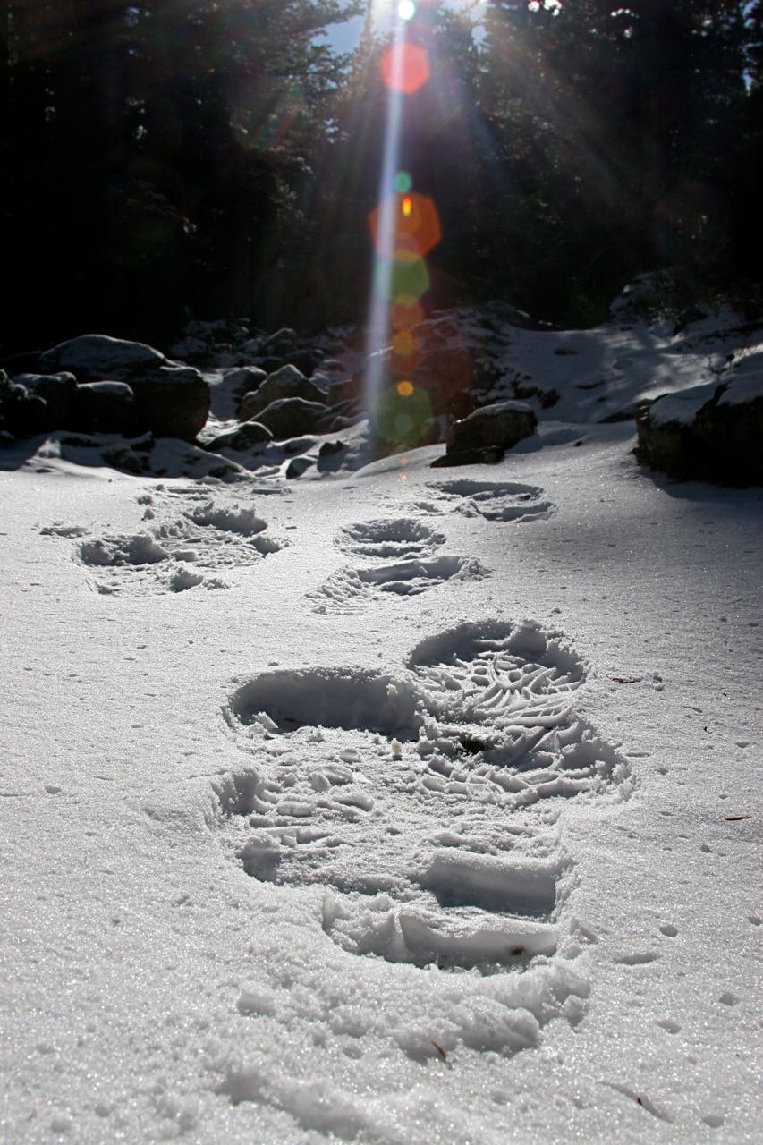
Snow Prints
Location: 40.315669, -105.654048
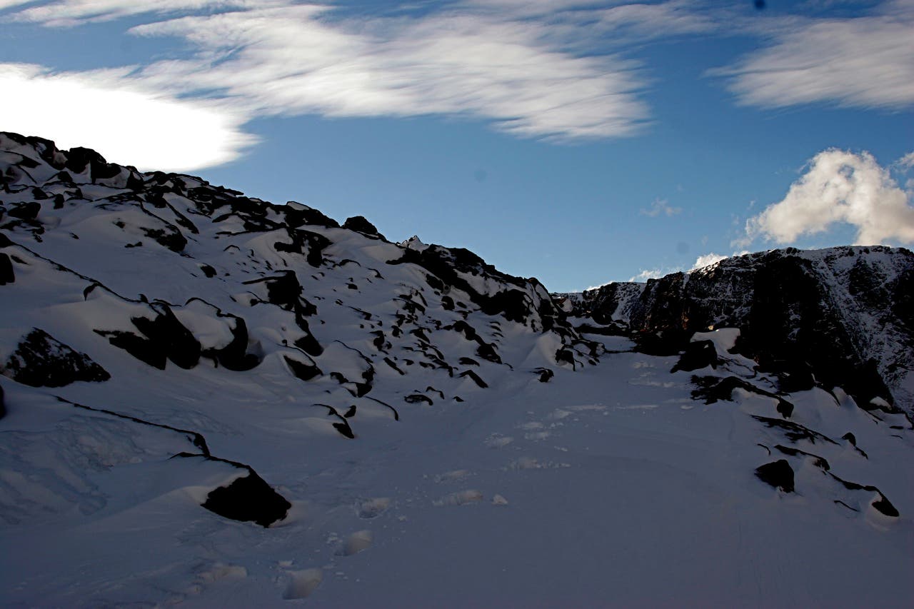
Fast changing weather at high altitude can mean snow even in the summer. Bring layers and come prepared for all types of conditions.
Looking East
Location: 40.314753, -105.661333
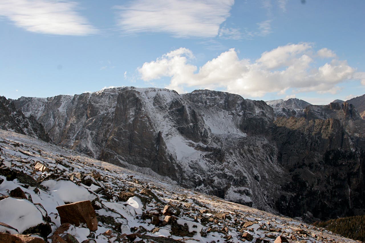
Lower peaks within the park are visible from the trail.
Cairns
Location: 40.315686, -105.668027
During winter months, these large carins help snowshoers and skiers find their way.
Emerald Lake
Location: 40.314982, -105.669358
Looking down Tyndall Gorge toward Emerald Lake from the overlook.
Footsteps
Location: 40.31553, -105.674572
Flattop Mountain
Location: 40.313231, -105.679303
Rounding the more gradual north side of Flattop Mountain along the trail.
Hitch
Location: 40.31045, -105.683831
Horses are permitted on many trails in Rocky Mountain National Park. This hitching post near Tyndall Glacier is proof that they make it this far.
Flattop Mountain
Location: 40.308773, -105.690182
There is no official marker at the summit, but the Flattop Mountain-Tonahutu trail junction is generally considered the top.