Rochester, NY: Knight Creek to Campbell Creek via Finger Lakes Trail
-Mapped by Steffan Fay

Trail Facts
- Distance: 4.2
Waypoints
FLT001
Location: 42.3490524, -77.3634872
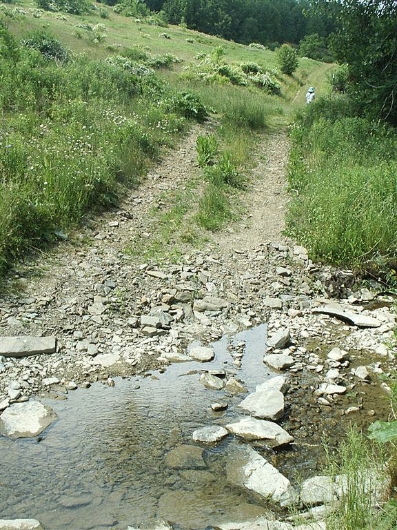
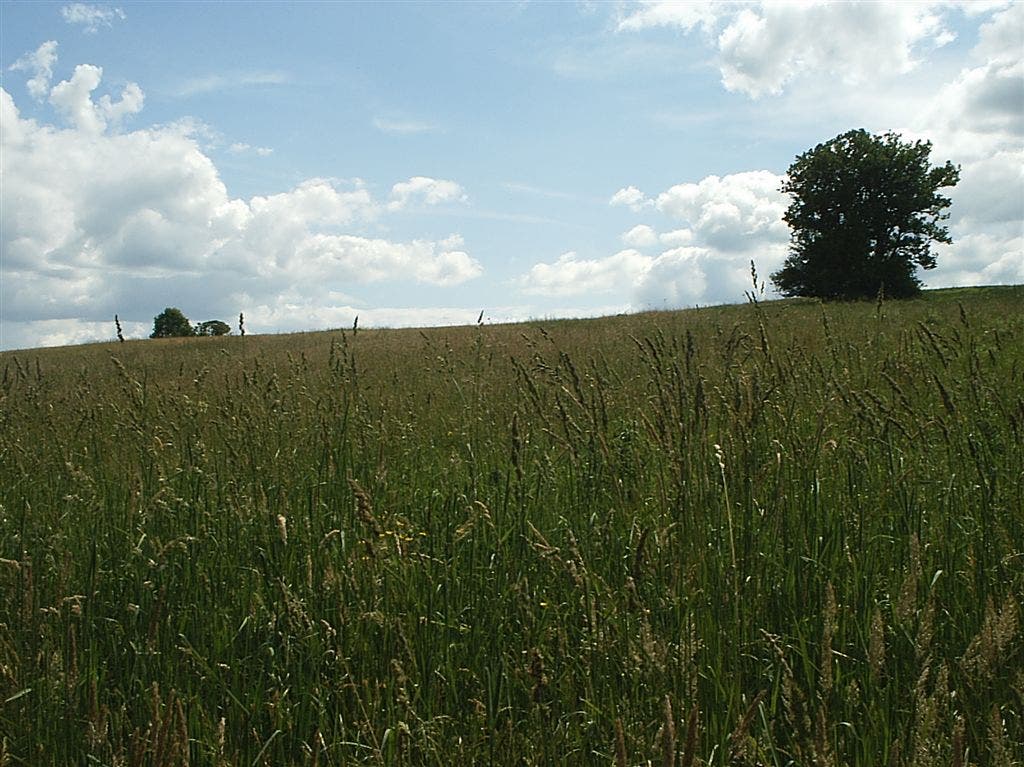
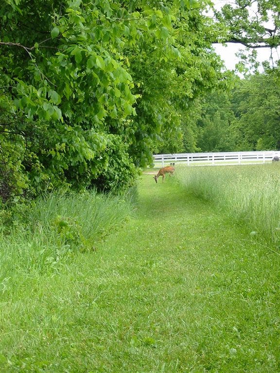
Walk northwest on Finger Lakes Trail and cross Knight Creek. Wide trail leads uphill through meadow of tall grasses.
FLT002
Location: 42.3511308, -77.367847
Trail cuts to the right (northwest), then continues ascent alongside a field; connect white blazes.
FLT003
Location: 42.3519173, -77.3688583
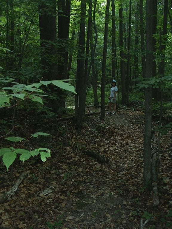
Turn left @ 4-way junction, then bear right into woods; leaf-covered trail winds beneath towering trees.
FLT004
Location: 42.3513527, -77.3730774
Leave shady forest for 0.1-mile jaunt through grassy corridor. The rolling hills break up the skyline.
FLT005
Location: 42.3504944, -77.3737411
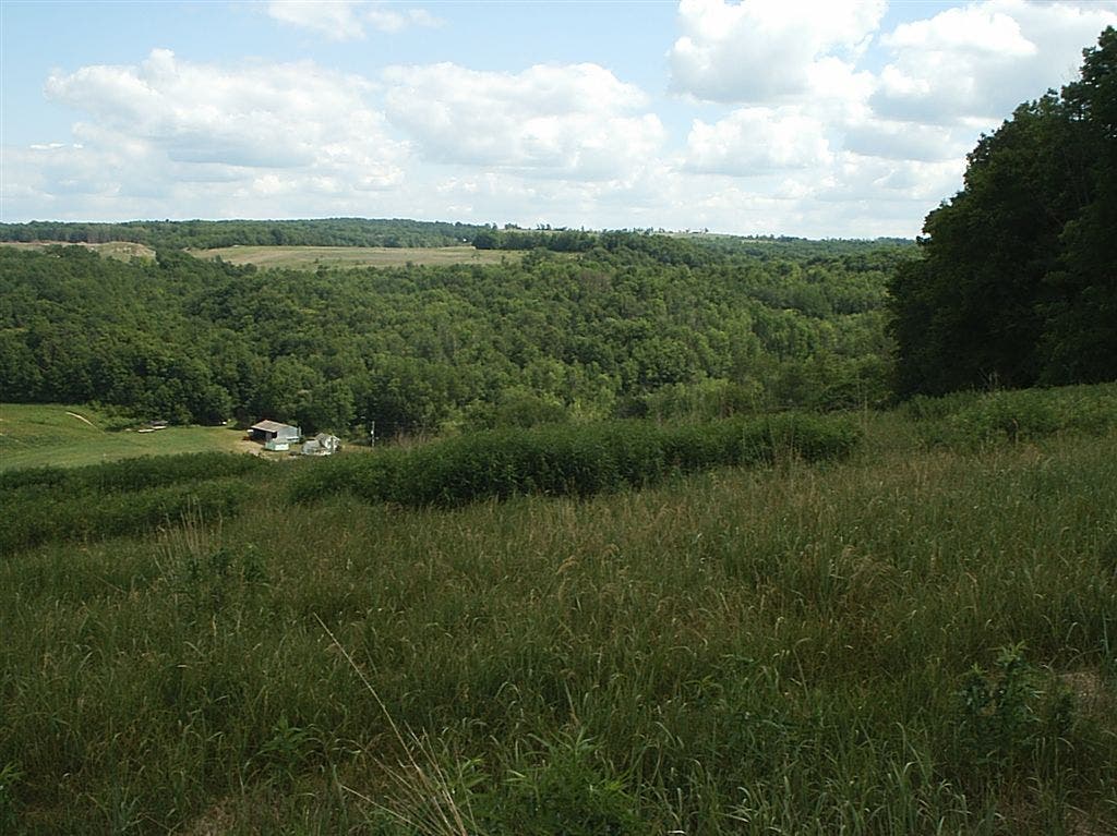
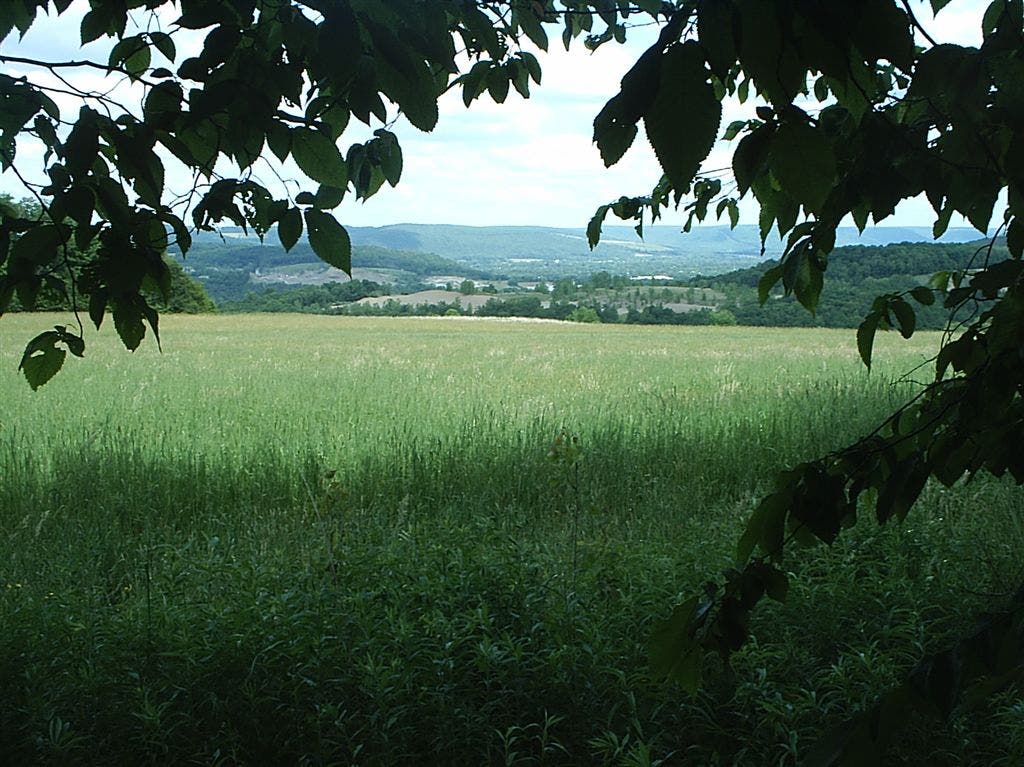
Bear right to re-enter woods. Look between gaps in trees: the leaves frame views of verdant hills and valley.
FLT006
Location: 42.3496208, -77.3749237
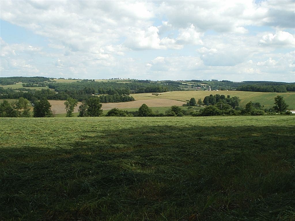
Trail pops out of woods, overlooking a patchwork of fields. Next, continue southwest traverse of Brooks Hill.
FLT007
Location: 42.3464775, -77.3785324
Pass under powerline; continue south.
FLT008
Location: 42.3453102, -77.3785477
Turn right, tracing the edge of another field.
FLT009
Location: 42.3435249, -77.3787689
Turn right (west) and follow hedgerow.
FLT010
Location: 42.3434715, -77.3823853
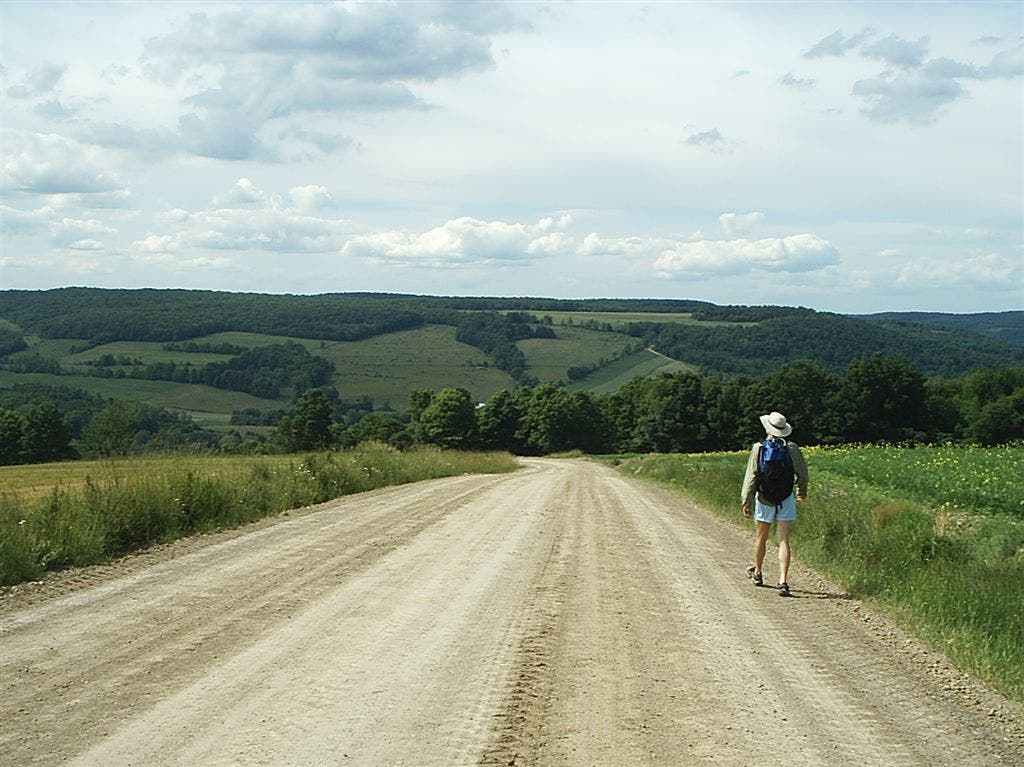
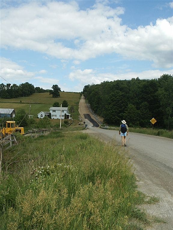
Continue straight, heading west on the shoulder of Cochrane Road, a wide dirt road. The road descends ahead.
FLT011
Location: 42.3465118, -77.3978653
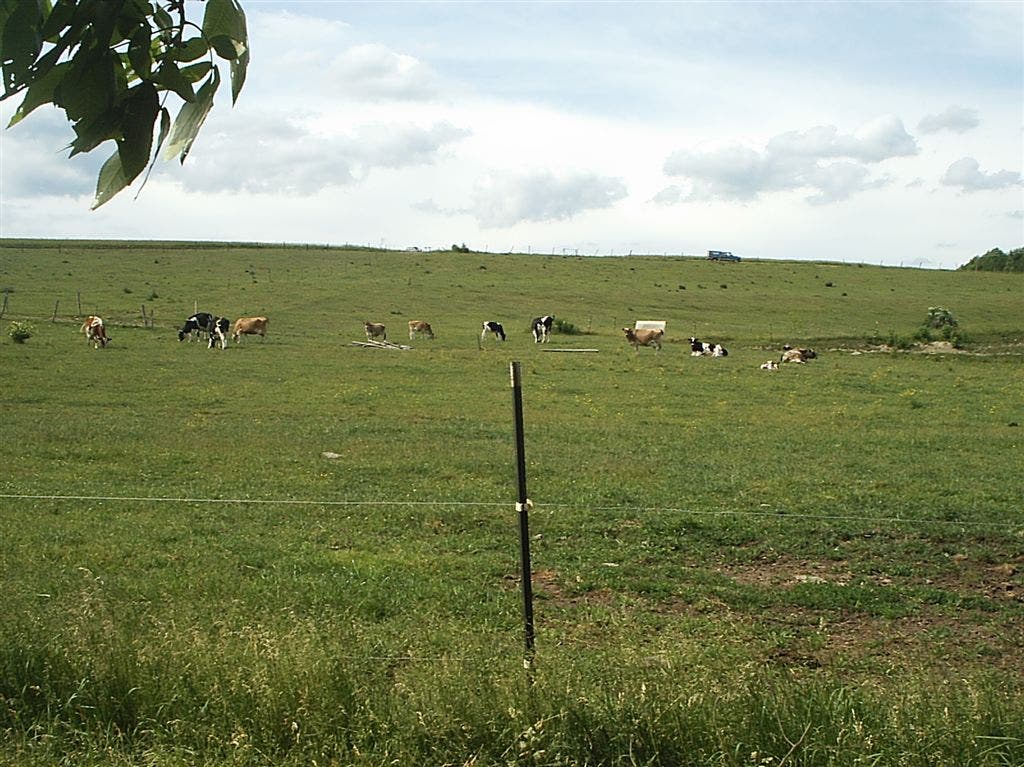
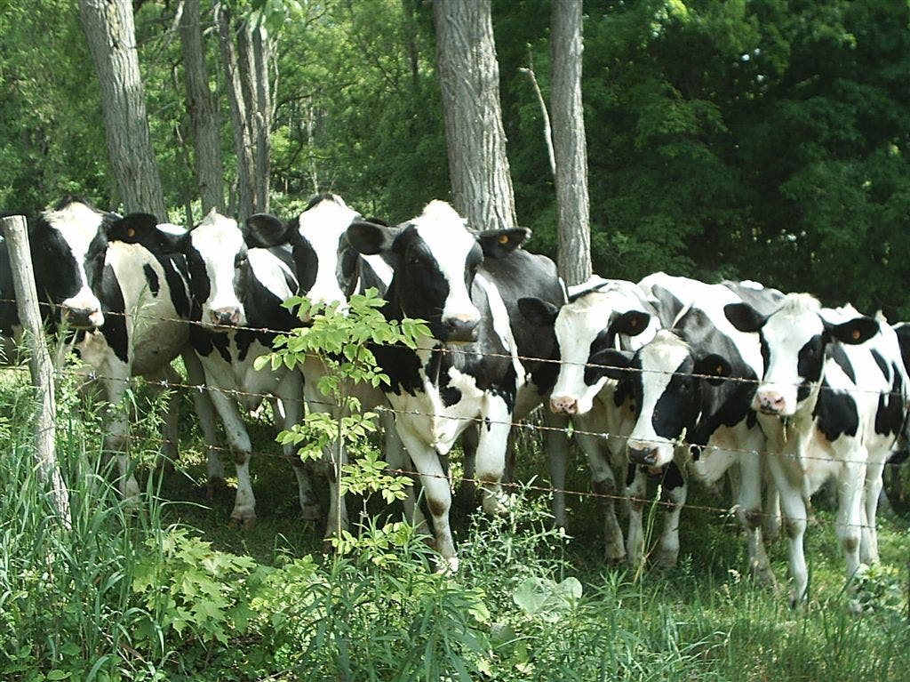
Trail curves to the west. Ahead, pass farm fields dotted with cows.
FLT012
Location: 42.3465881, -77.3990707
Turn around and return to the trailhead at the bridge over Campbell Creek.
Finger Lakes Trail Sign
Location: 42.3490613, -77.3632979
Finger Lakes Trail
Location: 42.3507581, -77.3637486
Rolling Hills
Location: 42.3512418, -77.3677182
Grassy Hills
Location: 42.3514717, -77.3682761
Woods Walk
Location: 42.351773, -77.369585
Grassy Trail
Location: 42.3513766, -77.3728466
Wooded Views
Location: 42.3504886, -77.3735118
Trail Views
Location: 42.3486966, -77.3758936
Countryside
Location: 42.3452869, -77.3780823
Rolling Fields
Location: 42.3442402, -77.3788118
Dirt Road
Location: 42.3444424, -77.3870248
Cows
Location: 42.3462781, -77.3890579
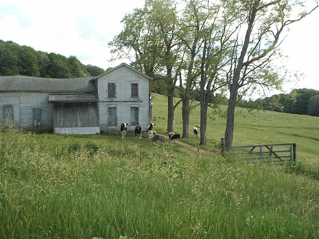
Farmhouse
Location: 42.3463574, -77.3914021
Roadwalk
Location: 42.3464803, -77.397185