Roanoke, VA: Little Dry Run Wilderness

When the Appalachian Trail was rerouted through nearby Grayson Highlands State Park in the 1950s, solitude returned to the Iron Mountains. Result: a special stash of unmarred hiking for in-the-know locals who patched together this 16.4-miler.
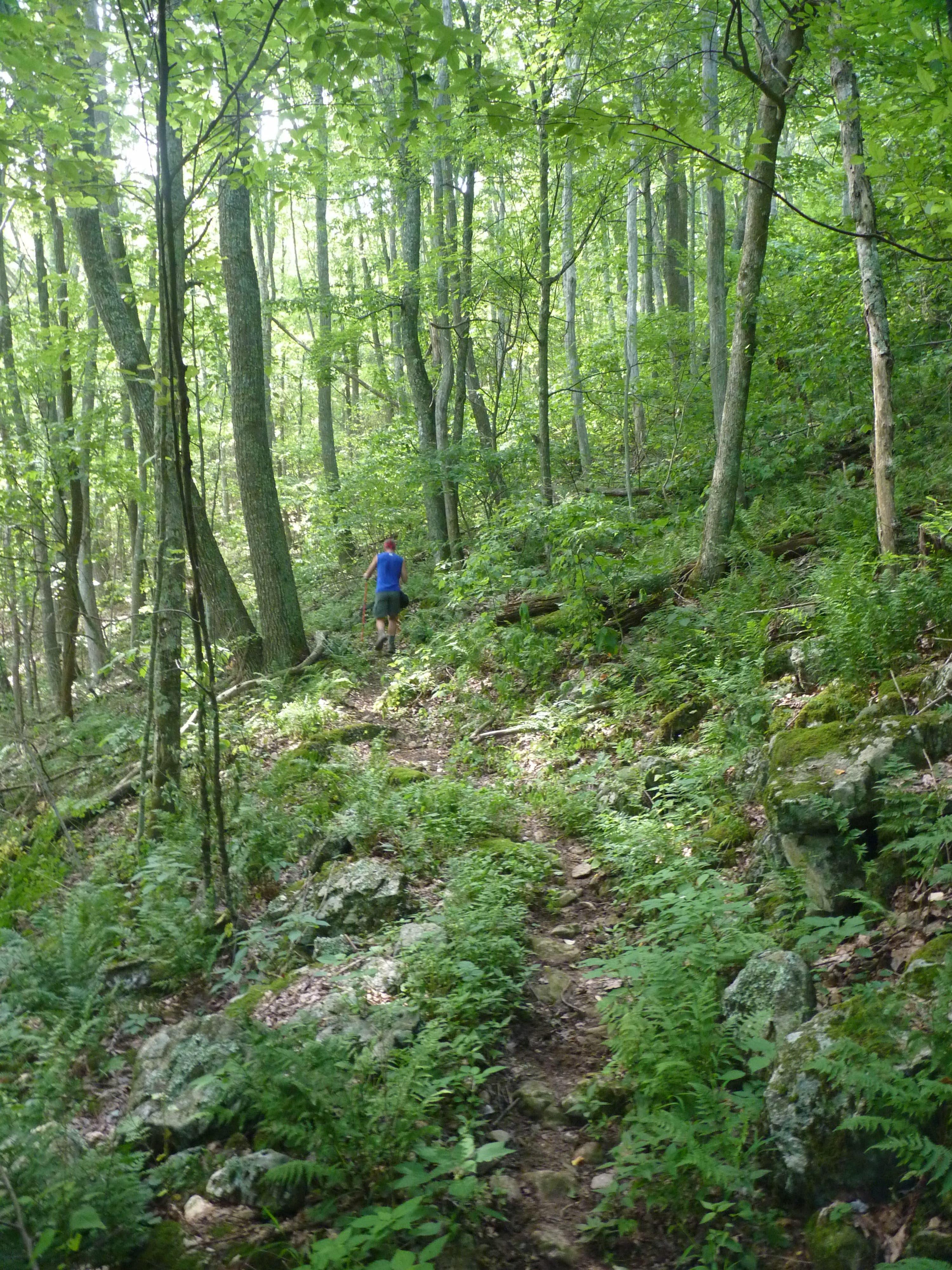
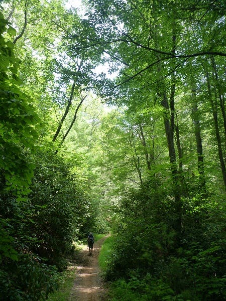
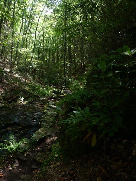
From Little Dry Run trailhead, head into the wilderness area along Little Dry Run. Climb 800 feet in three miles, in the shade of oaks, hemlocks, and rhododendrons. At mile .7, the route zigzags over the rocky streambed, which is usually dry except for early spring (hence the name). At mile 2.8, the trail intersects the orange-blazed Virginia Highlands Horse Trail. The unnamed gap here makes a good first night’s camp, if you’ve started on Friday evening.
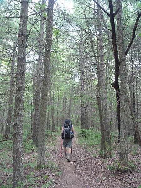
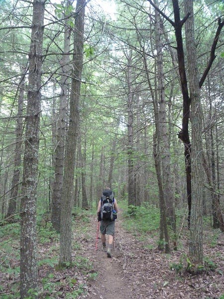
From here, continue straight on Little Dry Run Trail for an optional 2.7-mile ascent of Comers Rock. The next morning, continue east, descending through maple and hemlock, interrupted occasionally by small meadows of shin-high grasses and Queen Anne’s lace. Cross US 21 and the ankle-deep East Fork of Dry Run, turning right at mile 5.6 onto the gravel CC Camp road (good camping nearby), then twisting an immediate left onto Dry Run Gap Trail. You’ll meander along the base of a dry ravine before turning left onto the yellow-blazed Iron Mountain Trail.
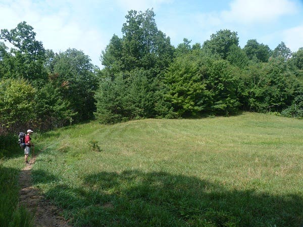
Climb switchbacks .5 mile to reach a ridge with blown-open views north and south in winter. After two brief-but-steep climbs, turn left onto the Divide Trail, plunging 700 feet in .7 mile. On your descent, keep your eyes peeled for black bears drawn to the blue and blackberries of this deep, wooded valley (in June). Cross the CC Camp road again at mile 10.3 to rejoin the Virginia Highlands Horse Trail, leading to 3,873-foot Horse Heaven and its idyllic grassy campsite (pack in water). Close the loop: Descend nearly 1,300 feet in four miles, linking to Henley Hollow Trail at mile 14.8. Follow the faint tinkle of cascading water back to the trailhead.
Gear up: SunDog Outfitter, 331 Douglas Dr., Damascus, VA; (866) 515-3441; sundogoutfitter.com
Permit: None required
Map: USGS quad Speedwell ($8, store.usgs.gov)
Season: May for blooms, June for berries, Nov. for fall colors
-Mapped by Peter Rives

Trail Facts
- Distance: 30.9
Waypoints
DRW001
Location: 36.7886, -81.182783
From Little Dry Run trailhead, head into the wilderness area along Little Dry Run. Continue southwest.
DRW002
Location: 36.787856, -81.191819
At mile .7, the route zigzags over the rocky streambed, which is usually dry except for early spring.
DRW003
Location: 36.776913, -81.219247
At mile 2.8, the trail intersects the orange-blazed Virginia Highlands Horse Trail. The unnamed gap here makes a good first night’s camp. Continue straight on Little Dry Run Trail for an optional 2.7-mile ascent of Comers Rock.
DRW004
Location: 36.775, -81.1811
Cross US 21 and the ankle-deep East Fork of Dry Run, turning right at mile 5.6 onto the gravel CC Camp road.
DRW005
Location: 36.772183, -81.17715
Twist an immediate left onto Dry Run Gap Trail.
DRW006
Location: 36.764983, -81.170217
Bear another left onto the yellow-blazed Iron Mountain Trail. Climb switchbacks .5 mile to reach a ridge with clear views north and south in winter.
DRW007
Location: 36.766933, -81.130217
Turn left onto the Divide Trail, losing 700 feet of elevation in .7 mile. Watch for for black bears here: they’re drawn to the blue and blackberries of this deep, wooded valley (in June).
DRW008
Location: 36.775917, -81.12885
Cross the CC Camp road at mile 10.3, and rejoin the Virginia Highlands Horse Trail.
DRW009
Location: 36.784679, -81.142015
Here you’ll reach 3,873-foot Horse Heaven and its idyllic grassy campsite.
DRW010
Location: 36.777307, -81.171262
Link up to Henley Hollow Trail at mile 14.8 to close the loop. You’ll descend nearly 1,300 feet in four miles to return to the trailhead.
LDR Trail to Comers Rock
Location: 36.767441, -81.22348
Comers Rock Summit
Location: 36.7644, -81.22855
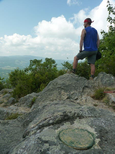
USGS on Comers Rock
Location: 36.764432, -81.22849
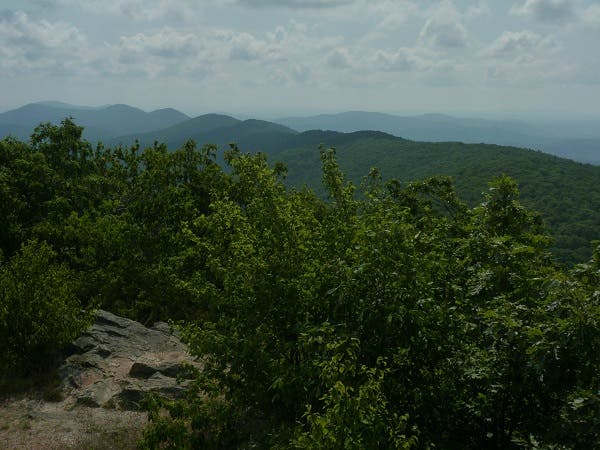
View East from Comers Rock
Location: 36.764467, -81.228361
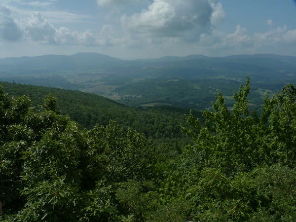
View South from Comers Rock
Location: 36.764501, -81.228189
Virginia Highlands Horse Trail
Location: 36.771824, -81.211624
Iron Mountain Trail
Location: 36.768283, -81.15695
Iron Mountain Trail
Location: 36.765464, -81.146178
Descent on Divide Trail
Location: 36.768317, -81.130471
Horse Heaven Meadow
Location: 36.785057, -81.145105
Henley Hollow
Location: 36.78791, -81.179824