Published September 20, 2013 03:40AM
Roanoke, VA: Crabtree Falls Trail
Five cascading waterfalls are the draw on this popular 4.2-mile out-and-back that starts with a climb and ends with a leafy streamside ramble.
Towering waterfalls tumble and splash past a series of overlooks on this well-maintained trail, making it a popular side trip from the Blue Ridge Parkway. For the best views of the cascades – which extend almost 1,200 feet – hit the trail in the spring or after a summer rainstorm. Late fall and winter are best for unobstructed mountain views from the summit.
From the parking lot, a short, paved trail leads to a nice view of the lower falls. Just before this viewpoint, turn right at the marked junction for a rocky, tree-lined climb to the upper falls. The trail frequently cuts back to the falls and the photo-friendly viewpoints. At 1.2 miles, turn left at the unmarked junction and follow the walkway over Crabtree Creek. This spur ends at a low-walled viewing area. To extend the hike, return to the trail and turn left, hiking south on the blue-blazed trail beside the burbling Crabtree Creek. The trail ends one easy mile later at a parking area off SR 826. Turn around or continue .5 miles to the AT.
ADVERTISEMENT
Note: Hikers should heed the warning sign near the trailhead. It states that 23 people (now 25) have lost their lives at the falls. The rocks are deceptively slippery and the protective walls and railings should not be ignored
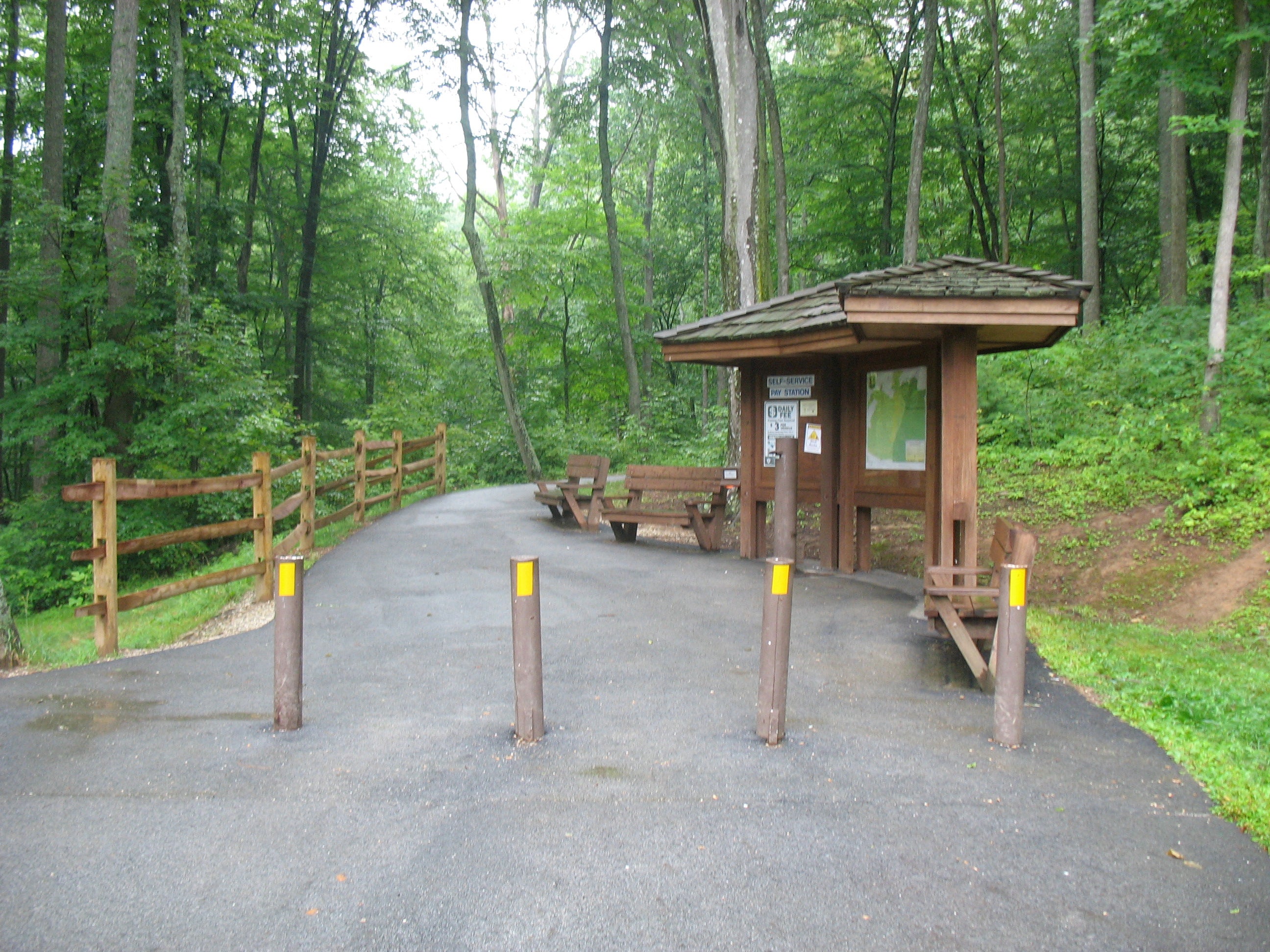
There is a $3 day use fee.


Trail Facts
- Distance: 4.5
Waypoints
CTF001
Location: 37.850913, -79.079517
The main parking area borders VA 56.
CTF002
Location: 37.850795, -79.079
Trailhead with information board and pay station ($3).
CTF003
Location: 37.849548, -79.07817
Continue straight ahead for a view of the lower falls. Turn right onto the marked dirt path to climb to the upper falls. The trail switchbacks across the slope as it ascends, passing several overlooks beside the cascades.
CTF004
Location: 37.846982, -79.077832
Pass a small cave on your right.
CTF005
Location: 37.844304, -79.075962
Summit in sight from this overlook.
CTF005
Location: 37.843674, -79.075175
Turn left at the unmarked junction. Follow the walkway over Crabtree Creek, just above the upper falls, to a viewing area fronted by a low wall. Though tempting, don’t climb over the wall. The rocks just beyond are more slippery than they look, and a fall is potentially fatal.
CTF006
ADVERTISEMENT
Location: 37.843073, -79.074637
Trail forks at unmarked junction. Stay right.
CTF007
Location: 37.840986, -79.078763
Turn right at the unmarked intersection. The wide, blue-blazed trail runs south alongside Crabtree Creek.
CTF008
Location: 37.831005, -79.08258
Pass road barrier.
CTF009
Location: 37.83085, -79.082723
Information board at upper trailhead.
CTF010
Location: 37.830491, -79.083755
Marked junction with SR 826. Turn around to complete out-and-back. Side trip: if you want more, turn left to reach AT in a half mile. The AT climbs another mile to the Priest Trail shelter.
Trailhead
Location: 37.85079, -79.07899
First Trail Sign
Location: 37.850767, -79.078656
Lower Falls
Location: 37.84956, -79.078175
Leafy Ascent
Location: 37.849601, -79.078122
Walkway to Viewing Area
Location: 37.84893, -79.077919
Feels Like Fallingwater
Location: 37.847818, -79.077706
Upper Falls Viewing Area
Location: 37.844066, -79.075018
Upper Crabtree Falls Trail
Location: 37.837344, -79.079577
Trail Junction with SR 826
Location: 37.830491, -79.083755
Crabtree Creek
Location: 37.84369, -79.074968