Roanoke: Mount Rogers

Trail Facts
- Distance: 5.8
Waypoints
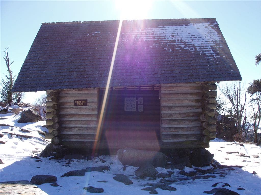
Thomas Knob Shelter
Location: 36.6563911437988, -81.5351104736328
Two-level shelter boasts a solar powered privy nearby. © Shannon Davis
Pony #1
Location: 36.6542930603027, -81.5187606811524
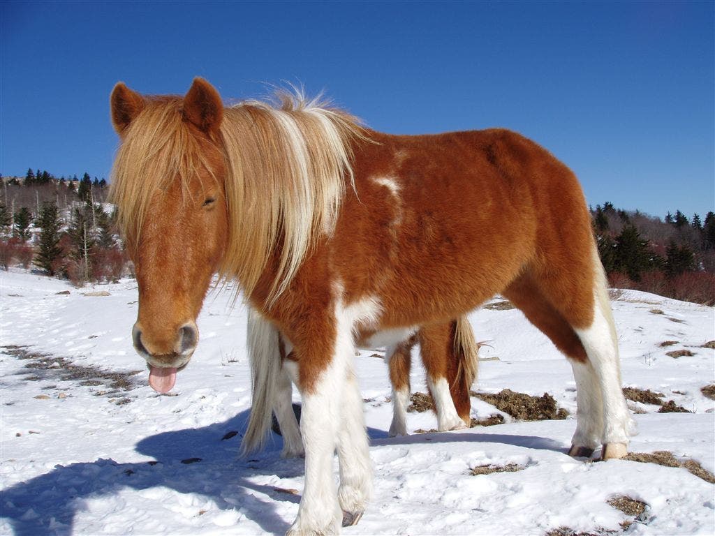
Grayson Highlands Pony — they’re friendly, but have been known to nip curiously at passersby. © Shannon Davis
Pony #2
Location: 36.6546363830566, -81.5193634033203
The ponies aren’t technically wild, but free-roaming. © Shannon Davis
Summit
Location: 36.6598167419434, -81.5446548461914
There’s no view up here, but look down to find the official high point benchmark. © Shannon Davis
Spur trail
Location: 36.6582336425781, -81.5373382568359
Take this side trail off the AT into the woods of the summit. © Shannon Davis
Trailhead
Location: 36.6338348388672, -81.5087051391602
Rhododendron Trail trailhead. © Shannon Davis
A pony waits for hand-outs
Location: 36.6541213989258, -81.5197448730469
© Shannon Davis
MTR001
Location: 36.6333312988281, -81.5087814331055
Head N from parking lot on blue-blazed Rhododendron Trail
MTR002
Location: 36.6344985961914, -81.5093536376953
Straight at 4-way, following Rhododendron Trail
MTR003
Location: 36.6391830444336, -81.5094146728516
L @ T onto white-blazed Appalachian Trail
MTR004
Location: 36.6417427062988, -81.5151062011719
Head N, crossing four other trails within next 400 ft.; follow white blazes, leaving time to take in views to S
MTR005
Location: 36.6540985107422, -81.5191497802734
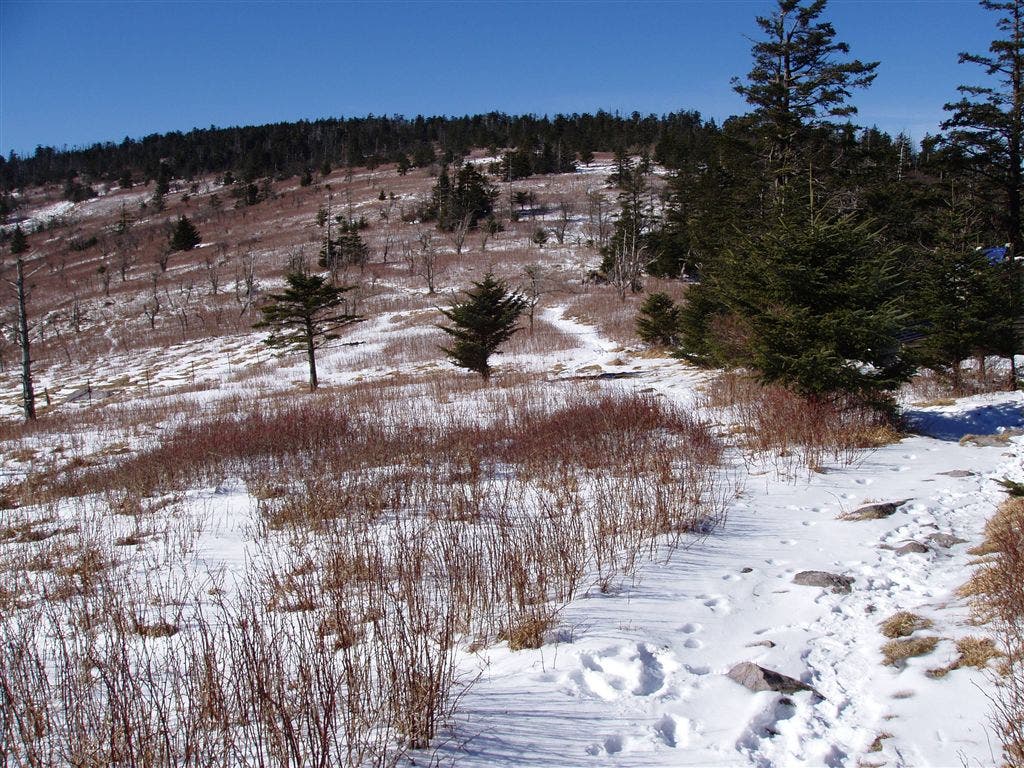
If you’re lucky, you’ll see friendly but wild ponies grazing in highlands
MTR006
Location: 36.657600402832, -81.5222015380859
Pass thickets of purple-flowered Catawba rho-dodendron; head W on Appalachian Trail, away from Crest Trail and Pine Mountain Trail to NE
MTR007
Location: 36.6553153991699, -81.5257034301758
Look S along Cabin Ridge for excellent views of the valleys below; on a clear day, the Blue Ridge Parkway may be visible 70 mi. away
MTR008
Location: 36.6566314697266, -81.5351181030274
Thomas Knob Shelter, a 2-story open cabin with solar-powered privy. White-tailed deer graze in nearby meadows
MTR009
Location: 36.6581497192383, -81.5376358032226
R @ T onto Mt. Rogers spur trail; gentle 300 ft. climb to summit
MTR010
Location: 36.6600494384766, -81.5448837280274
Mt. Rogers (5,729 ft.). VA’s densely wooded high point lacks the wide-angle views of surrounding
ridgelines and balds. Return to car