Red Rock Canyon, NV: Ice Box Canyon Trail

Explore the inner depths of Ice Box Canyon—named for the cooler temperatures found deep in the canyon—and test your rock scrambling skills on this 2.2-miler.
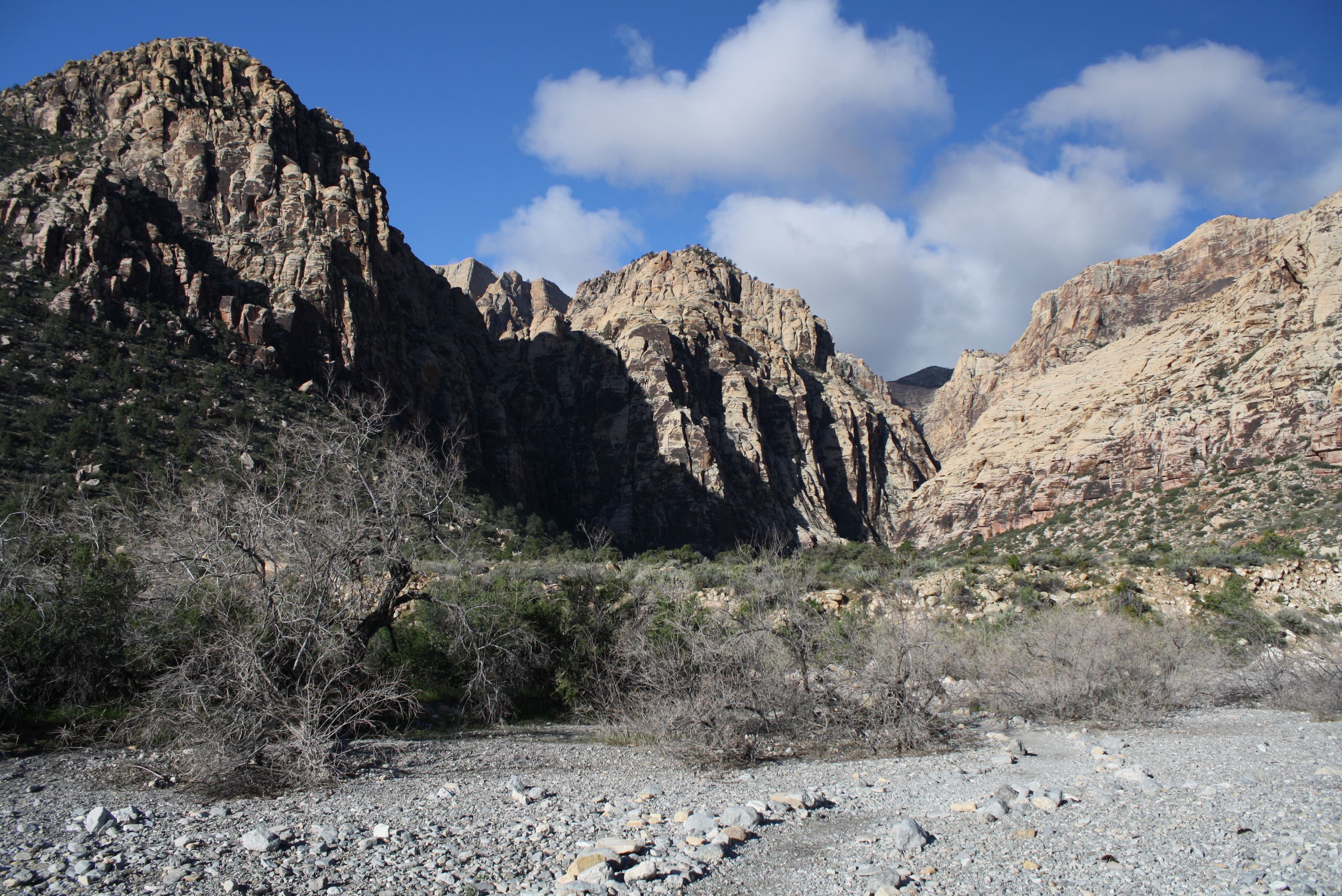
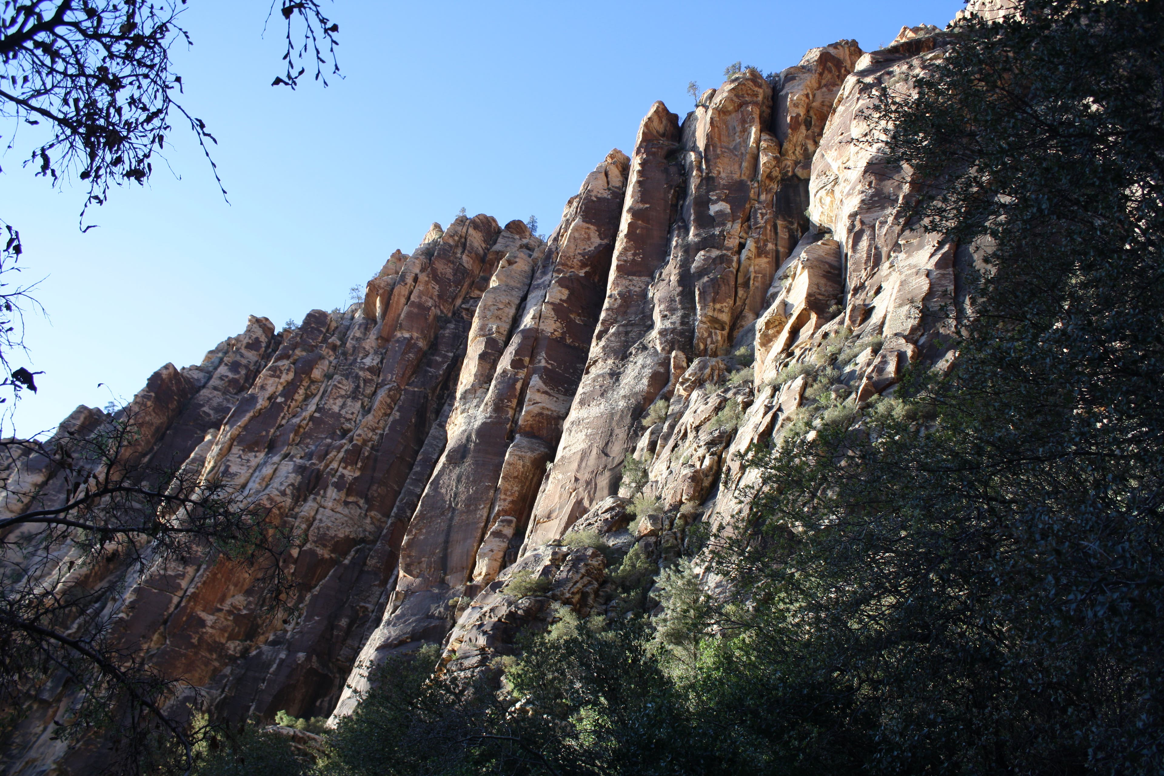
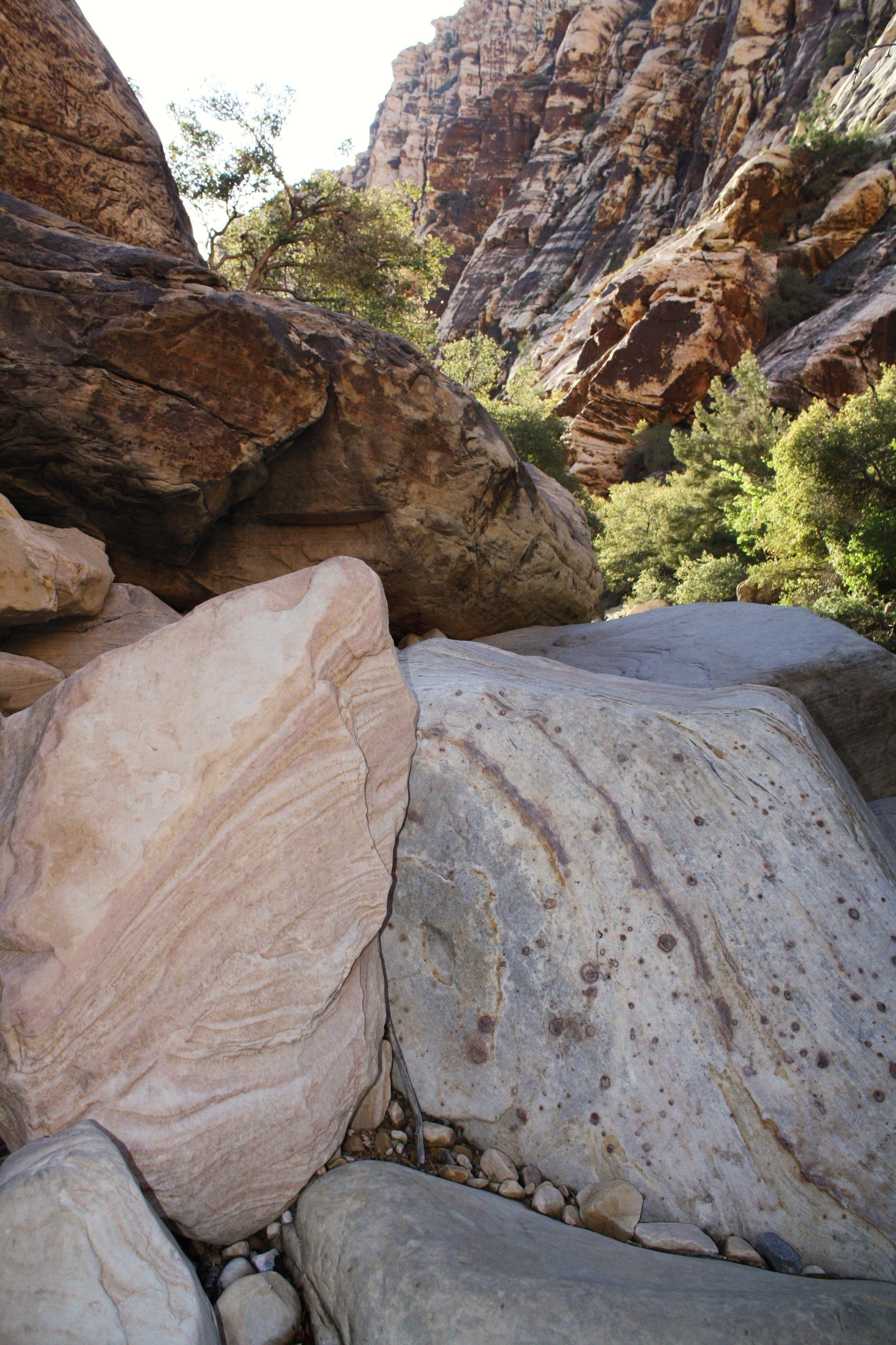
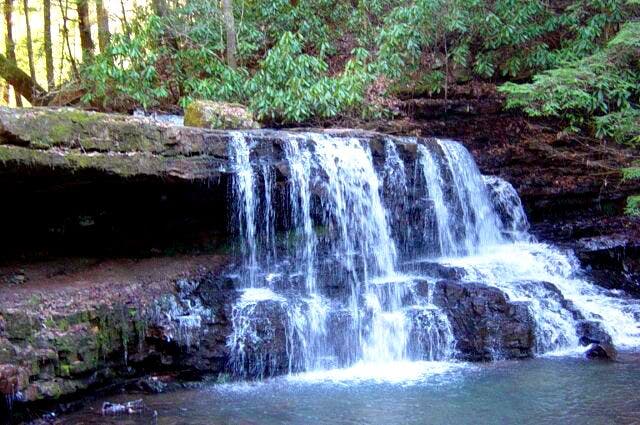
From the trailhead, head west across a wash to a band of 6,000-foot cliffs. Descend several steps then pick your way around the trees that line the wash and scramble over countless boulders. After 1.1 miles, the route dead-ends in a box canyon with a seasonal waterfall.
-Mapped by Chelise Simmons


Trail Facts
- Distance: 3.5
Waypoints
IBC001
Location: 36.150063, -115.48411
From the trailhead follow the gravel trail across the wash and up a set of stairs to the rocky trail.
IBC002
Location: 36.148029, -115.486629
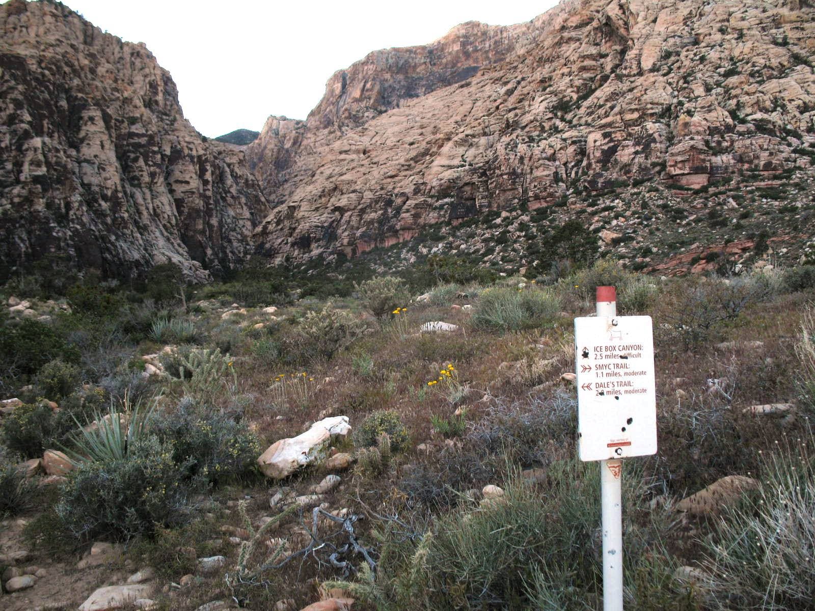
Continue straight (southwest) at the junction into the canyon.
IBC003
Location: 36.144373, -115.495598
Hike through trees and descend steps to the gravel wash.
IBC004
Location: 36.14446, -115.49658
Pass seasonal pools of water.
IBC005
Location: 36.144174, -115.498656
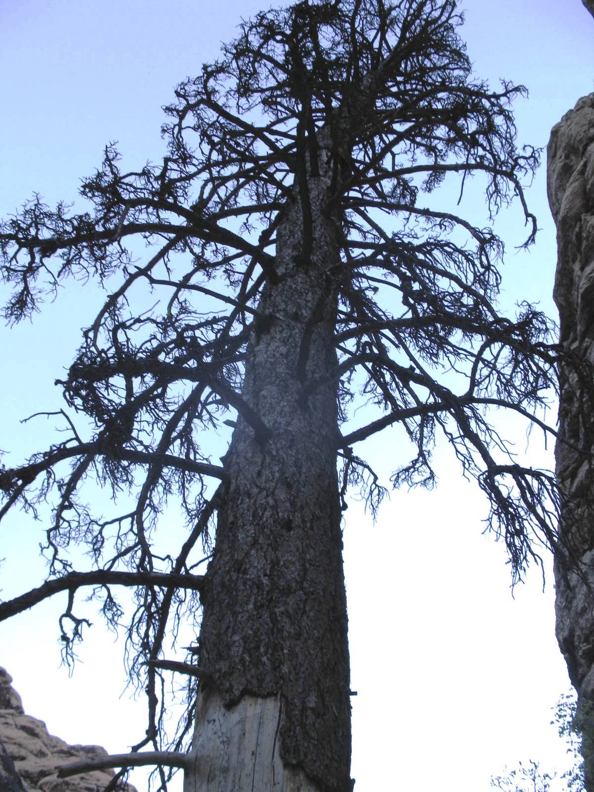
A massive pine tree flanks the trail.
IBC006
Location: 36.143368, -115.499911
Climb up the left side of the rocks to access the second waterfall.
IBC007
Location: 36.142982, -115.499756
At the second waterfall, turn around and backtrack to the trailhead.
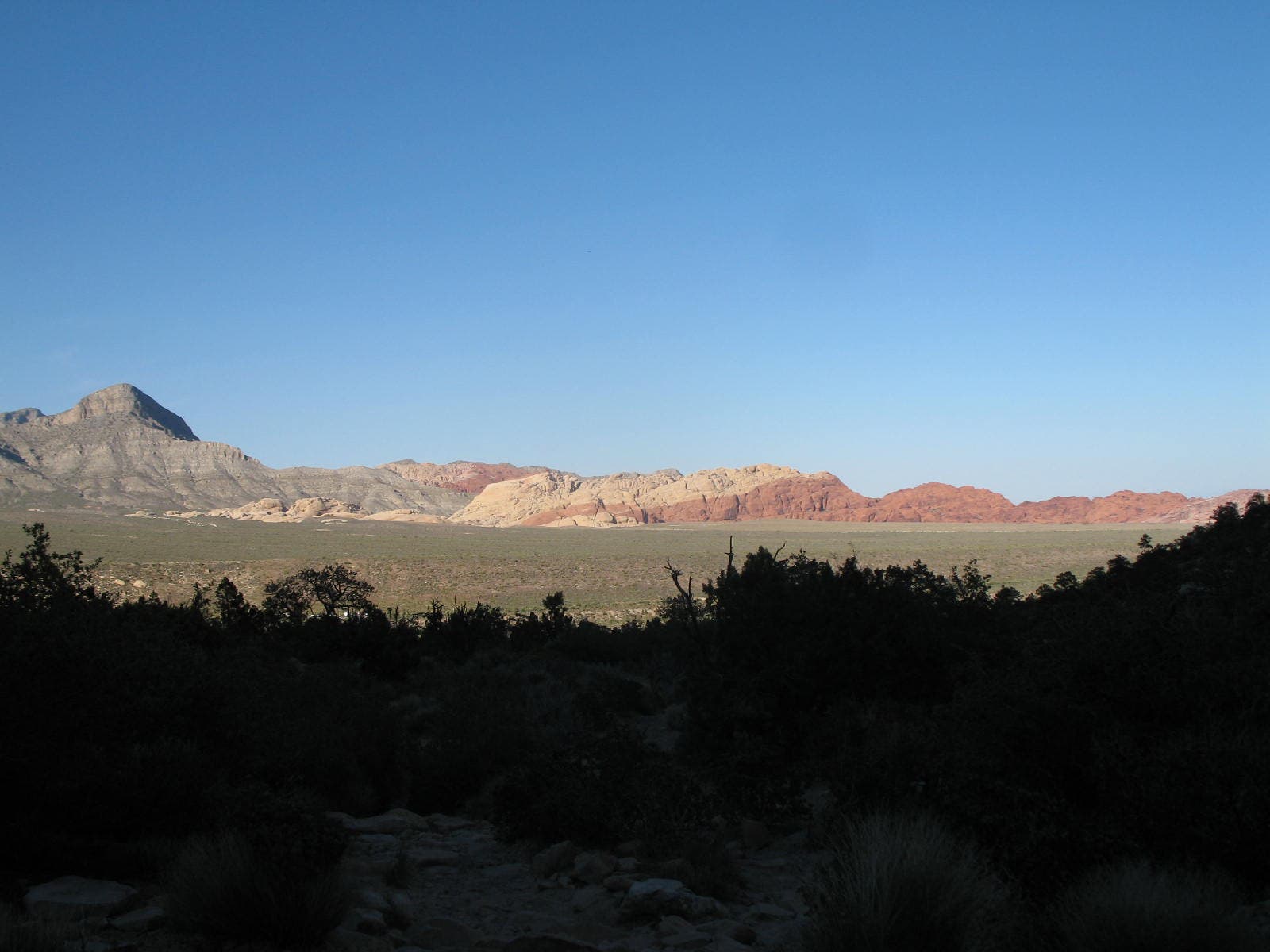
View from Red Rock Wash
Location: 36.149103, -115.485331
Junction
Location: 36.148302, -115.486114
Wildflowers
Location: 36.147514, -115.487739
Canyon Walls
Location: 36.145187, -115.492723
Steps to Wash
Location: 36.144369, -115.495507
Boulders
Location: 36.144486, -115.496226
Towering Pine
Location: 36.144182, -115.498576
Waterfall
Location: 36.143372, -115.499842
Calico Hills
Location: 36.144962, -115.493721