Raleigh, NC: Lake Crabtree

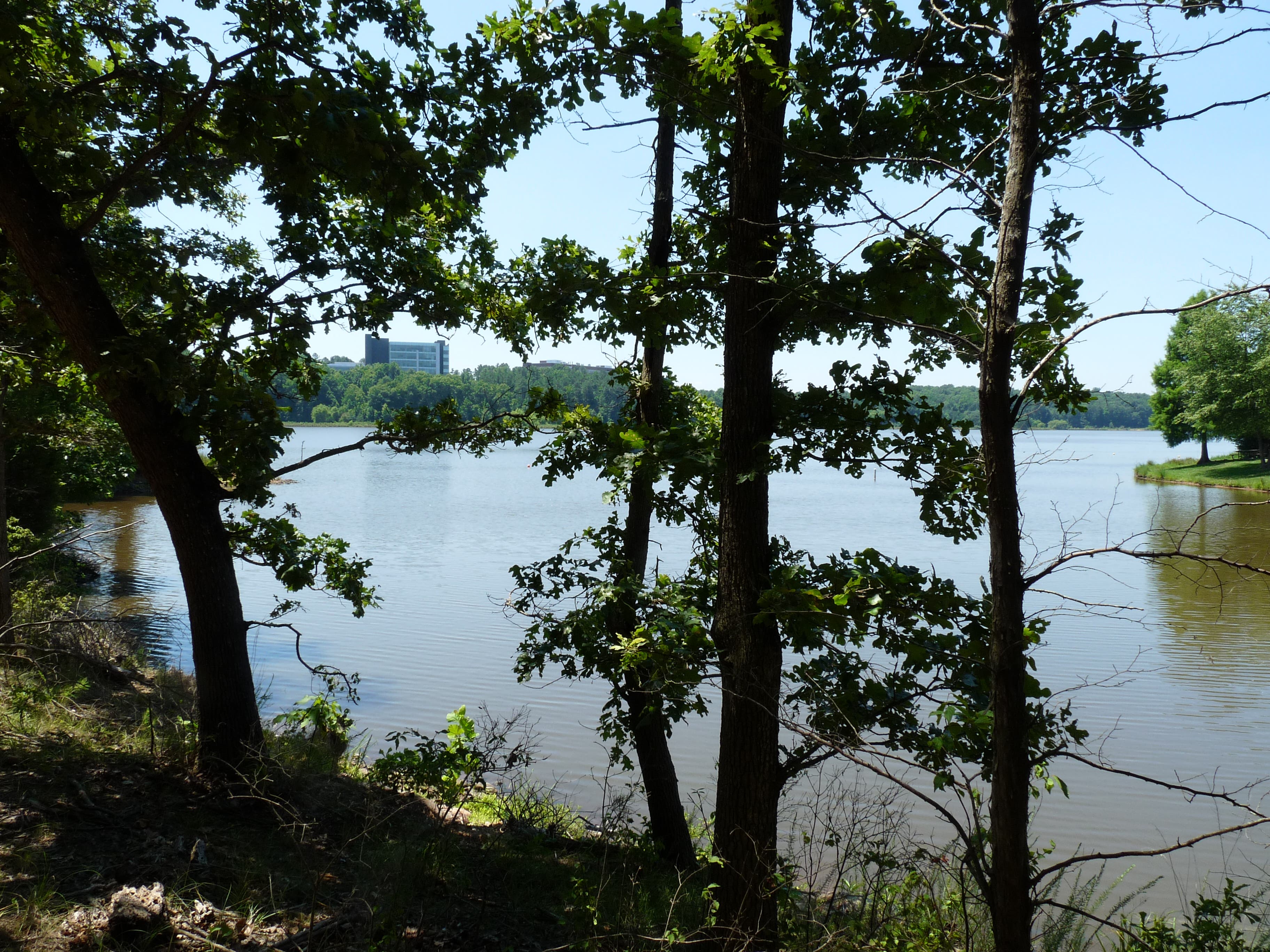
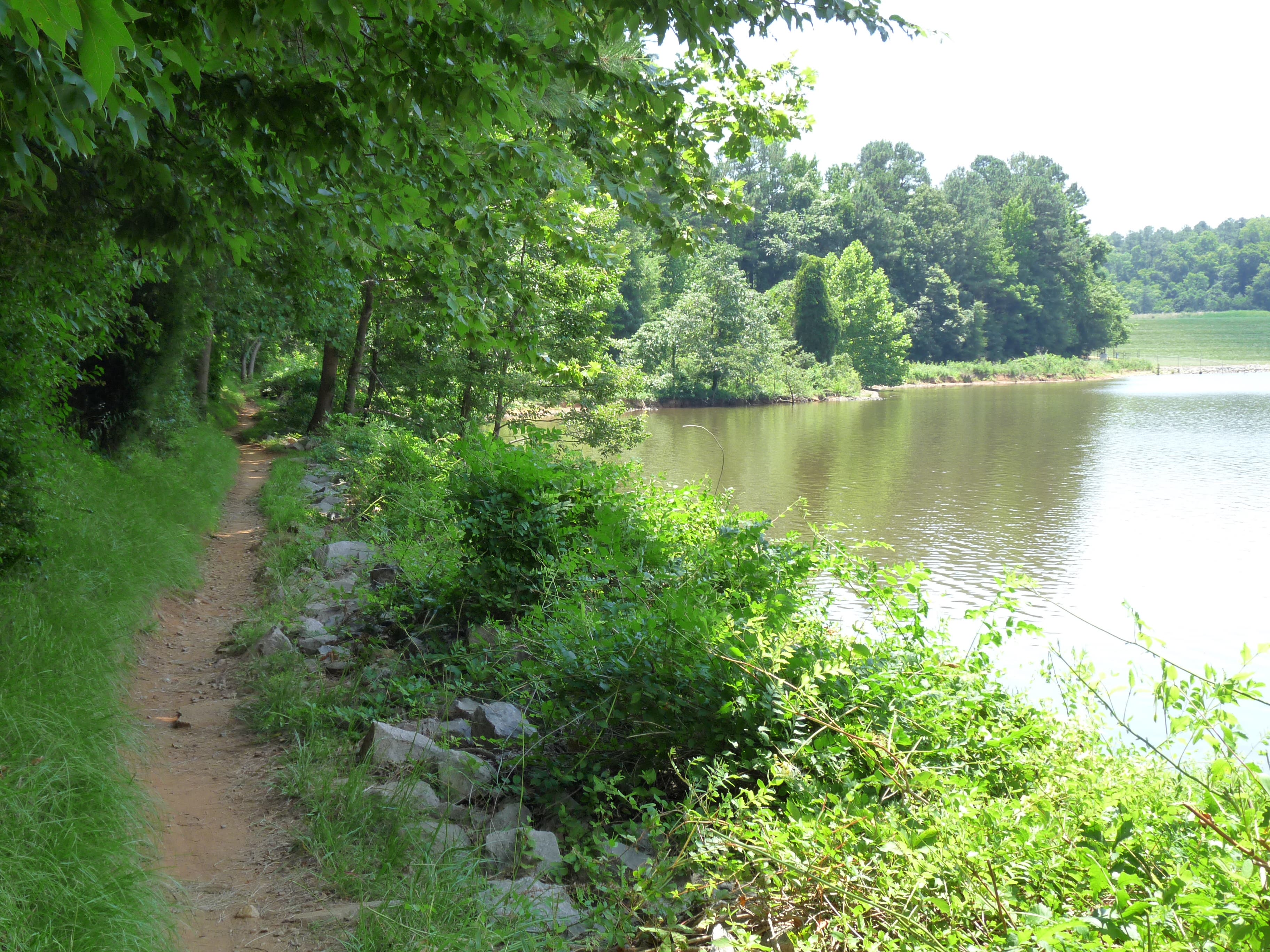
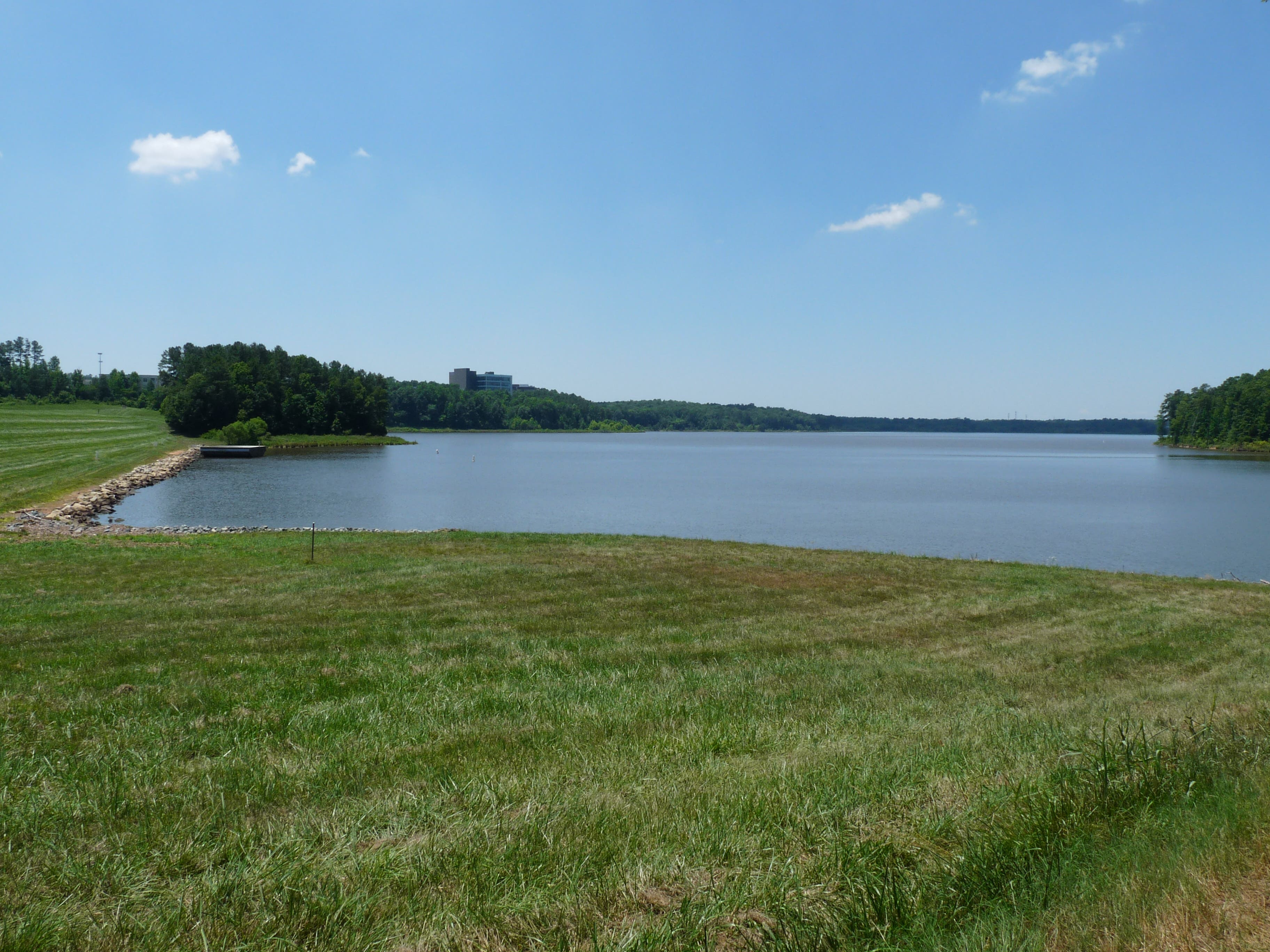
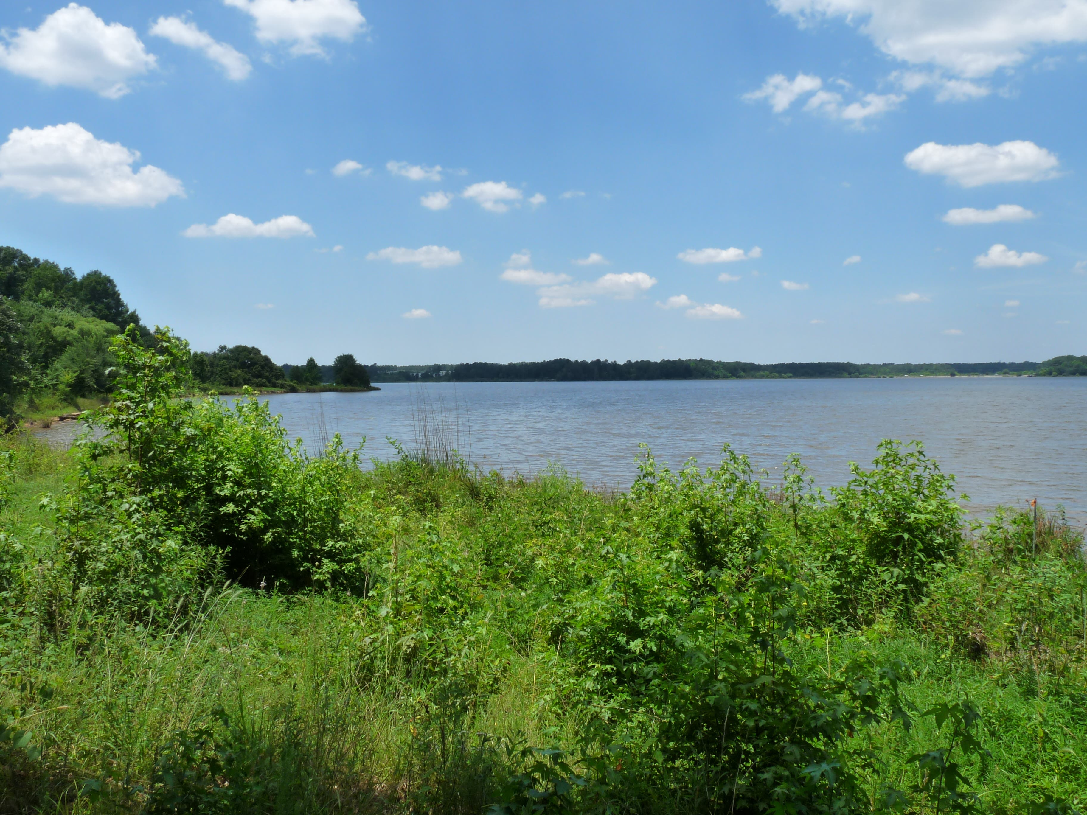
The Lake Crabtree Trail walks the entire perimeter of Lake Crabtree for a relaxing getaway tucked in the middle of the city. Within easy driving distance from Morrisville, Cary and Raleigh, the trail negotiates dirt paths in the woods and boardwalks over low lying areas. No motorized boats are allowed on the lake, so you can enjoy peace and quiet while walking or watching sailboats on the water.
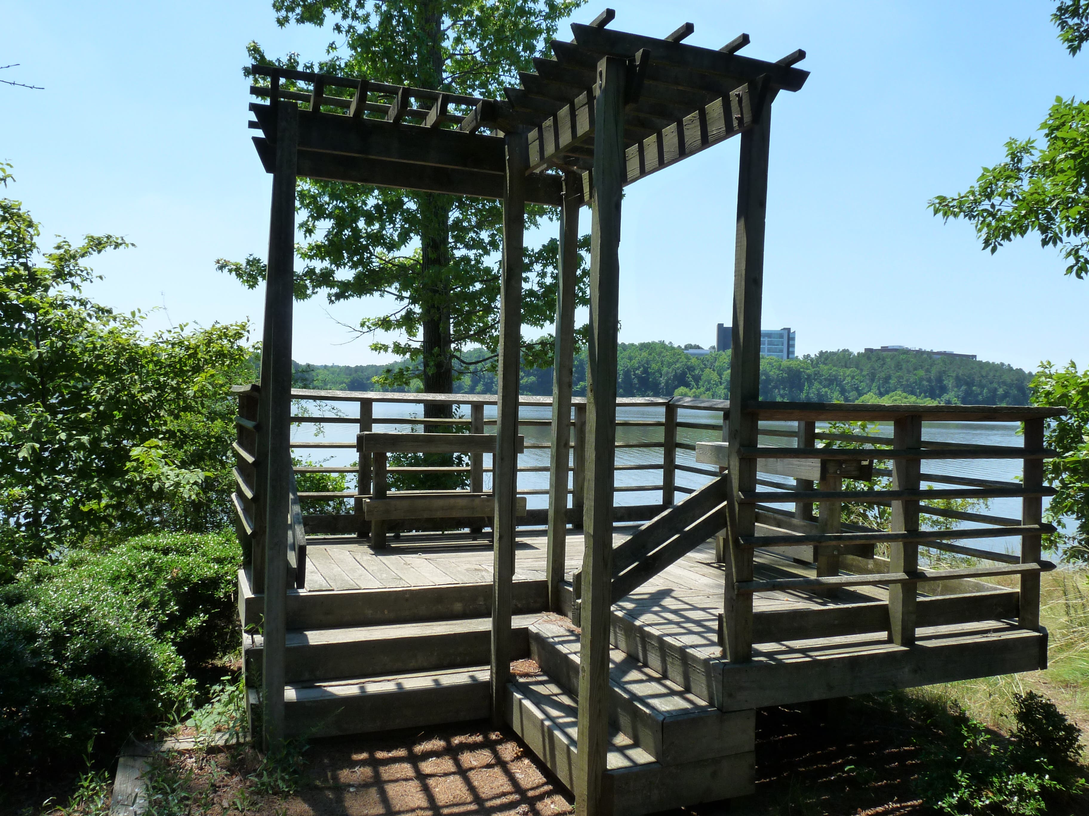
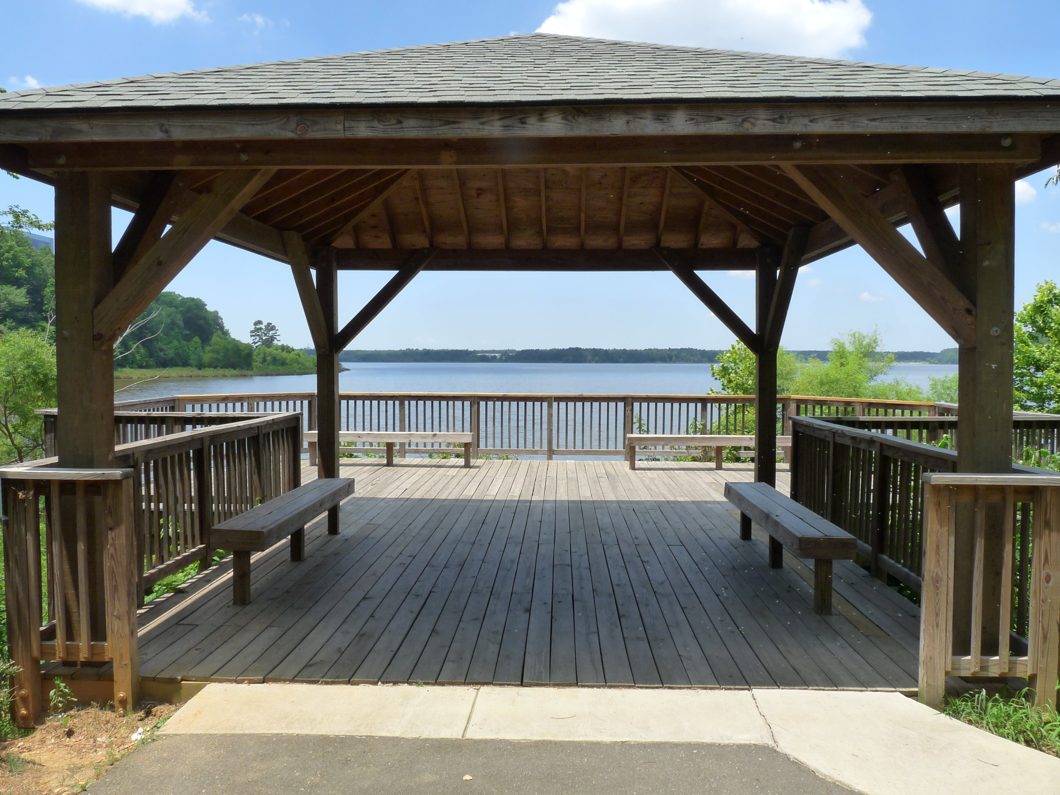
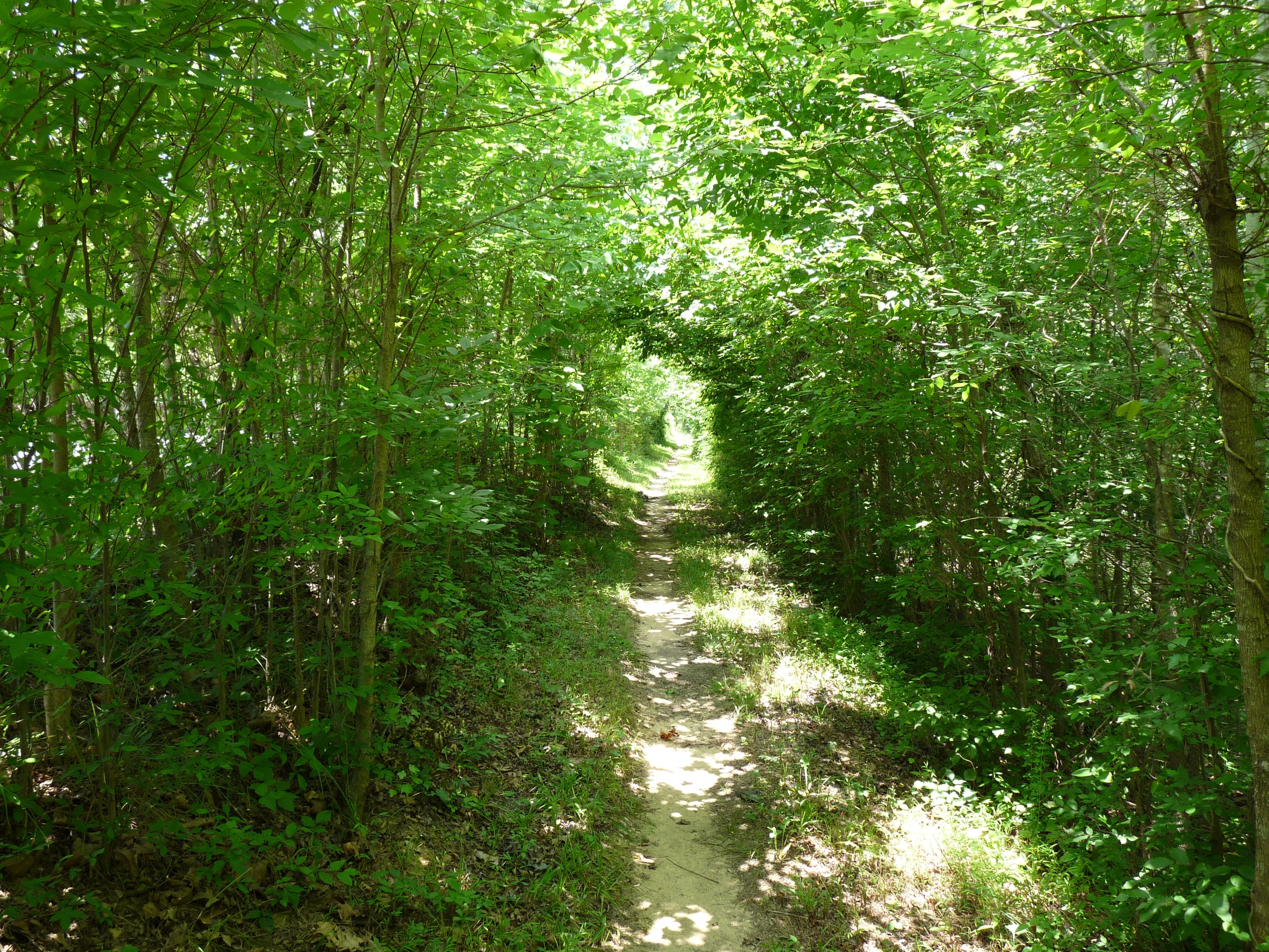
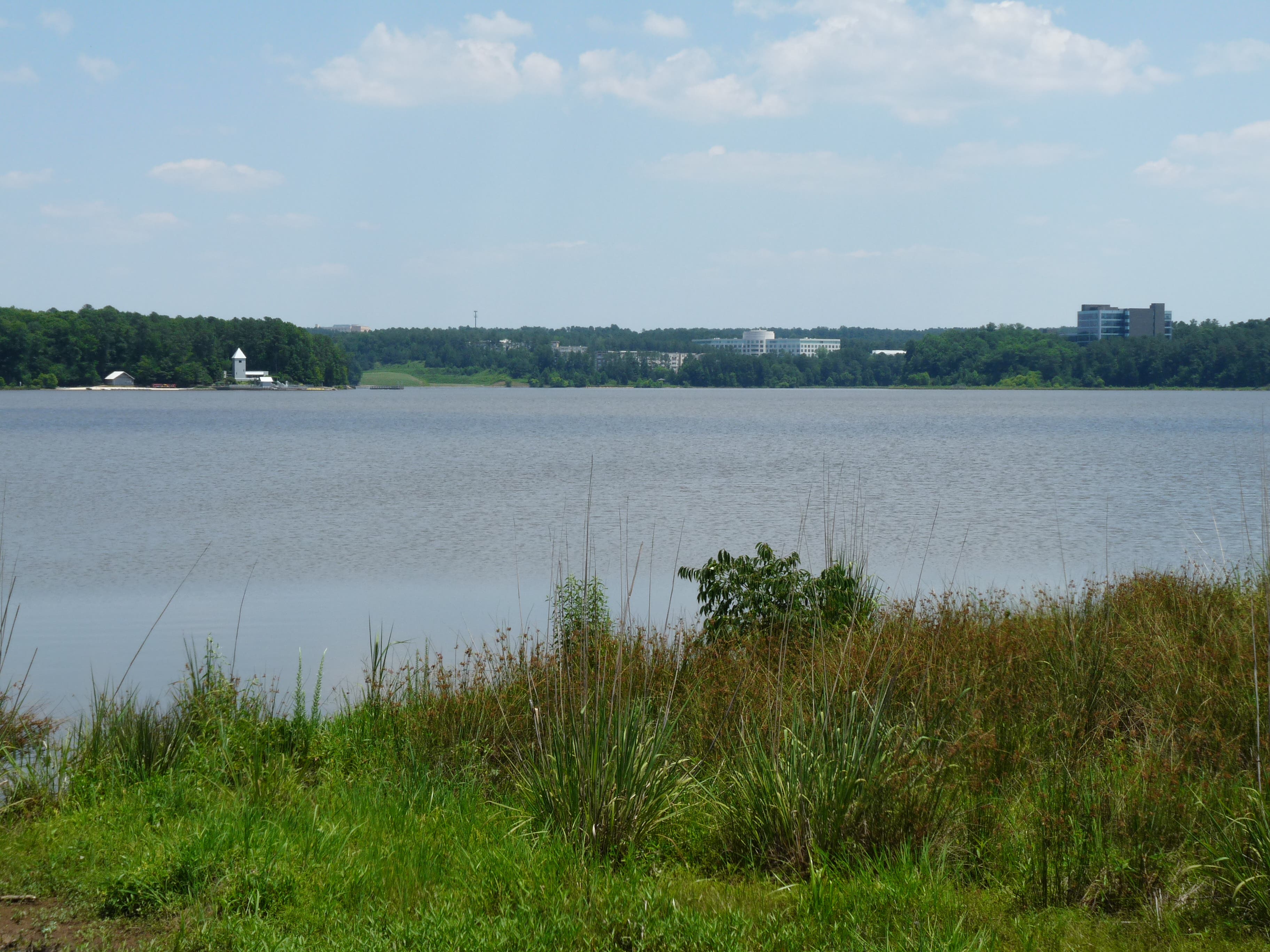
The trailhead can be found at the end of the road leading into the park. The first part of the path serves as a mountain biking trail as well, so be aware and yield to bikers. Walk beneath a canopy of green to the trail’s first split. Go right, downhill, and reach the Heather Carr Memorial Overlook. This a great place to sit and watch the sailboats, canoes, kayaks and other lake activity.
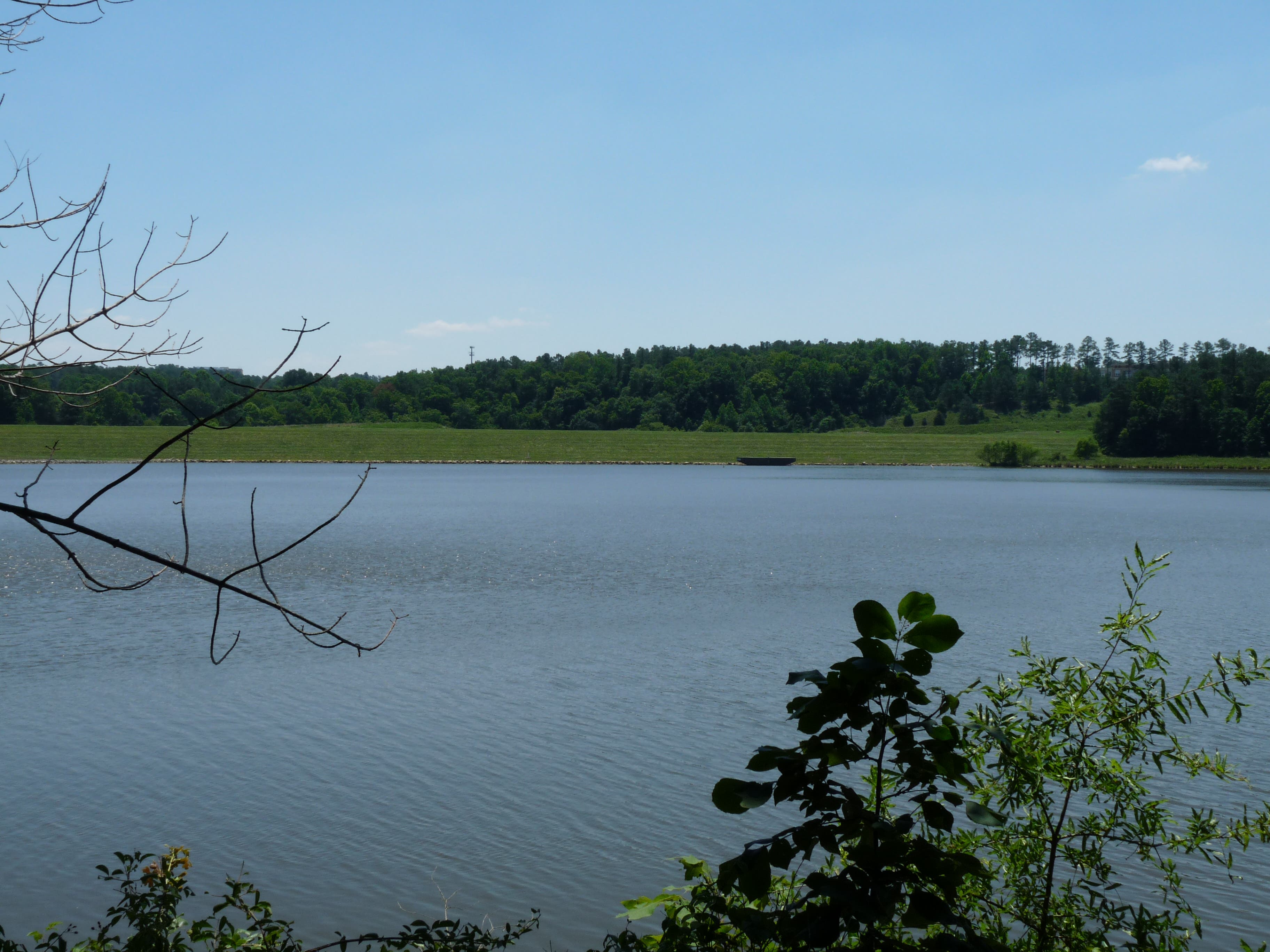
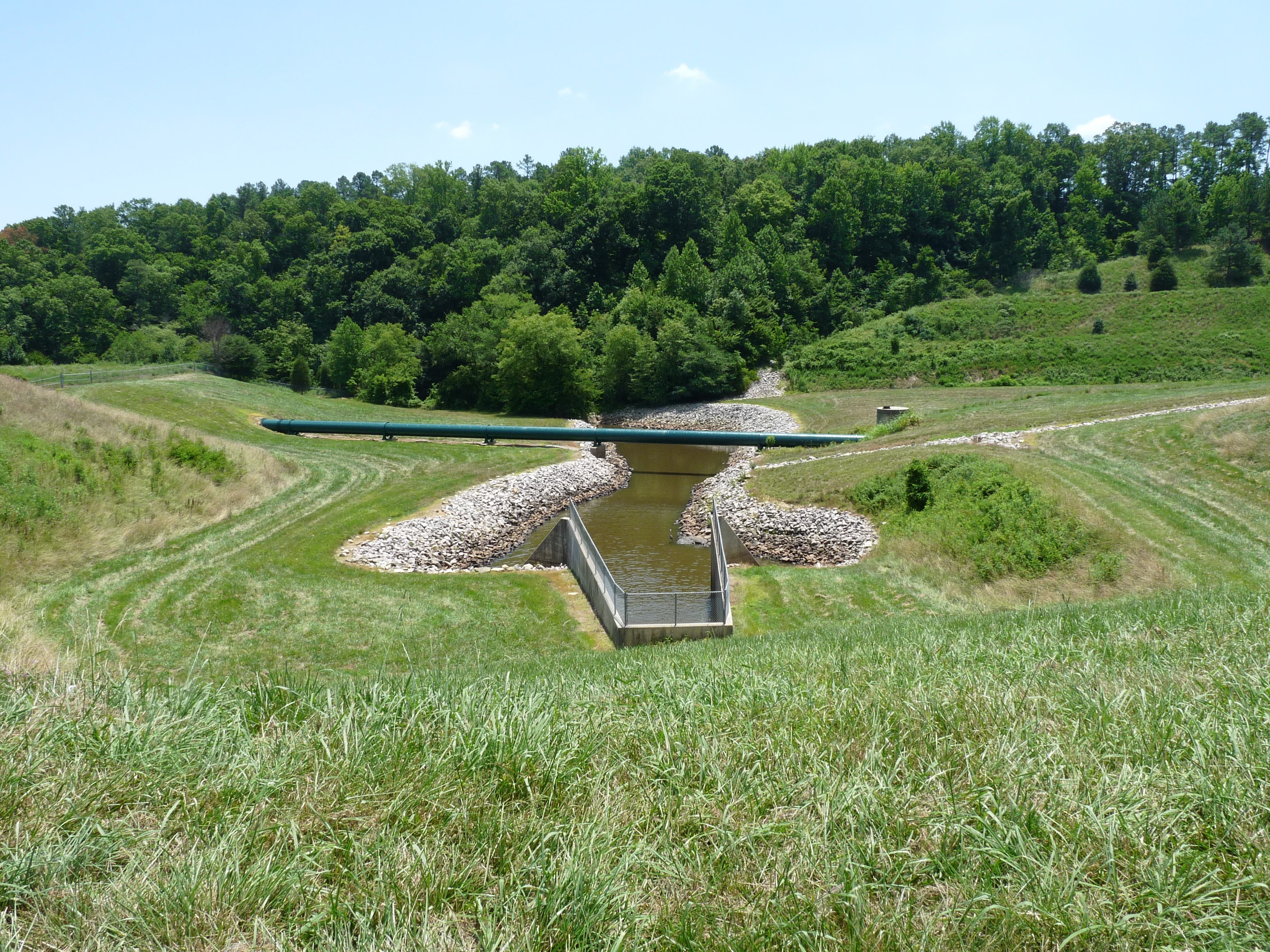
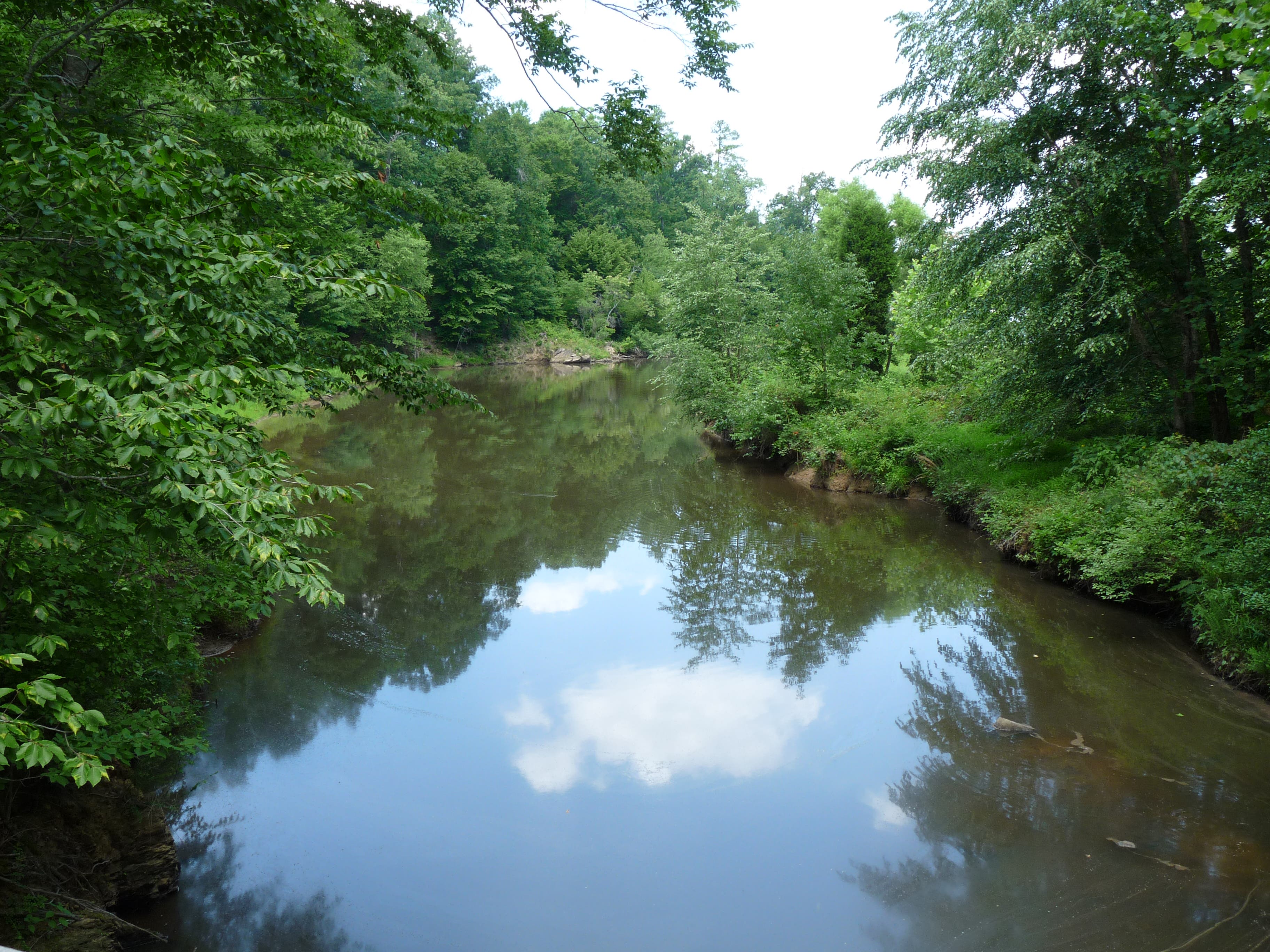
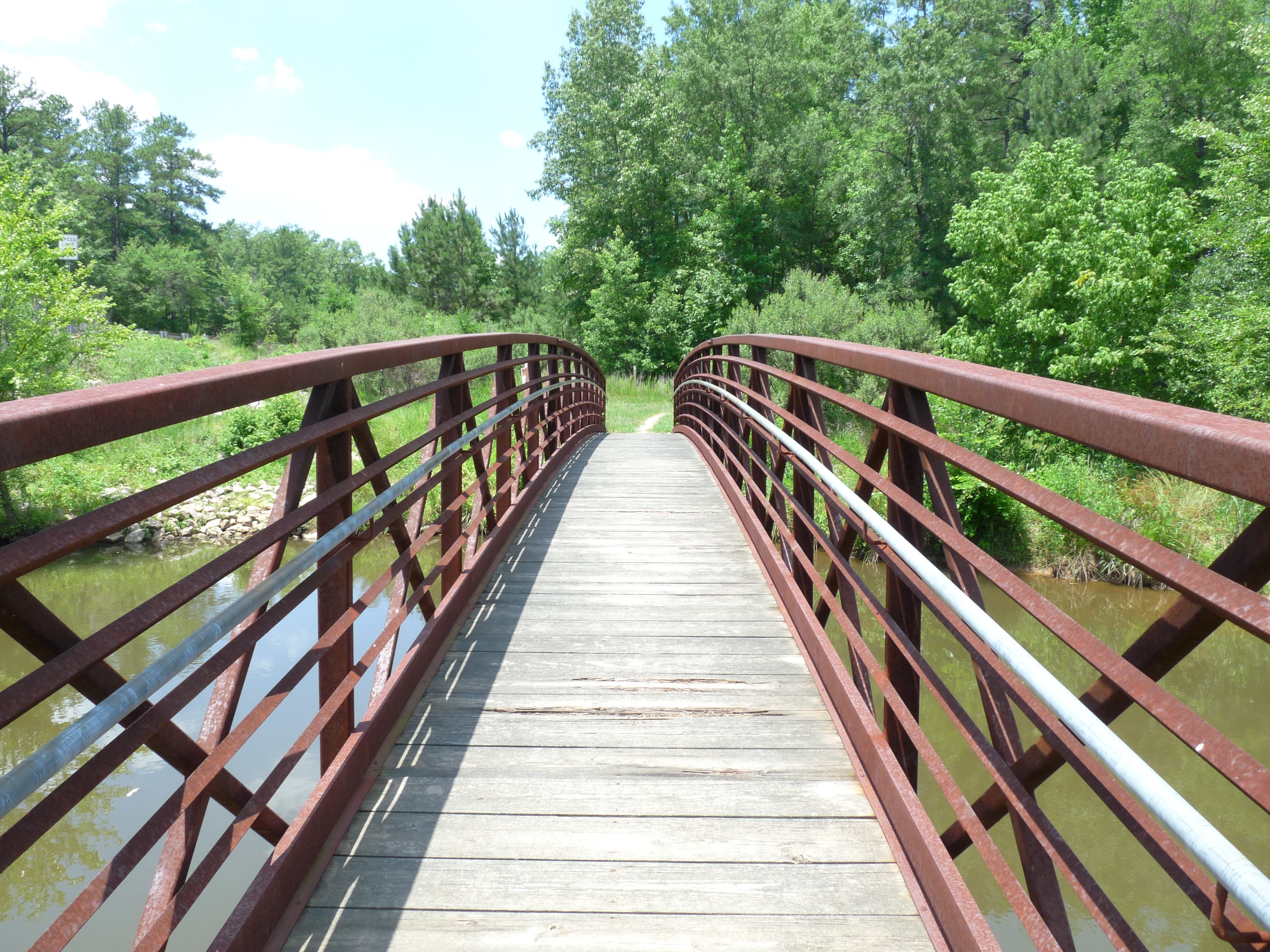
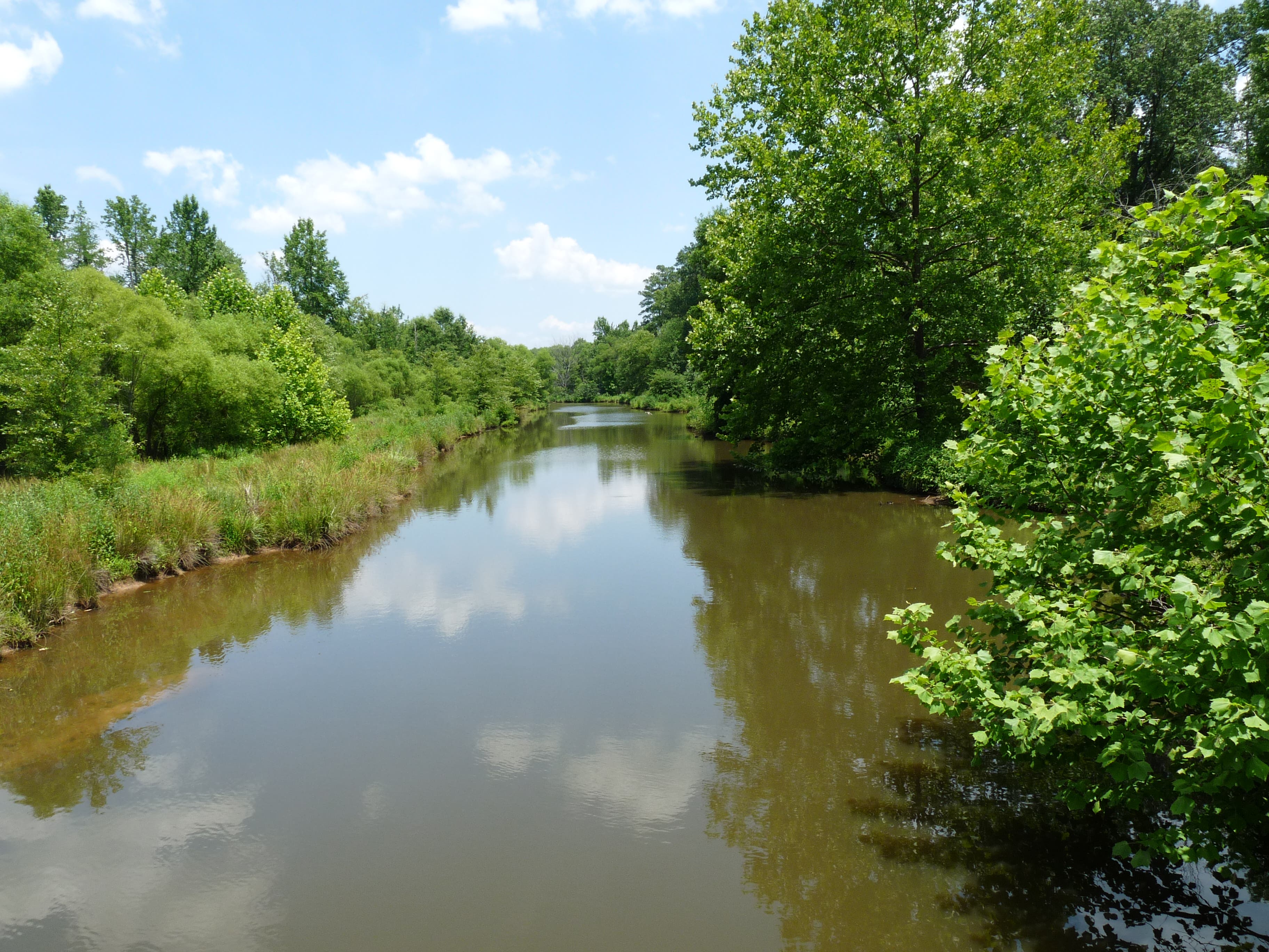
The trail curves along the lakeshore and climbs to the dam creating Lake Crabtree. At this point, the trail joins Black Creek Greenway. Another observation deck along the greenway offers water fountains for both people and dogs. At Weston Parkway, the Lake Crabtree Trail departs from Black Creek Greenway, curving to the right over a bridge across Black Creek. From this point onward, the trail can be poorly marked. Look for blue blazes on the trees and, as a general rule, bear right at any unmarked junctions to continue following the lake.
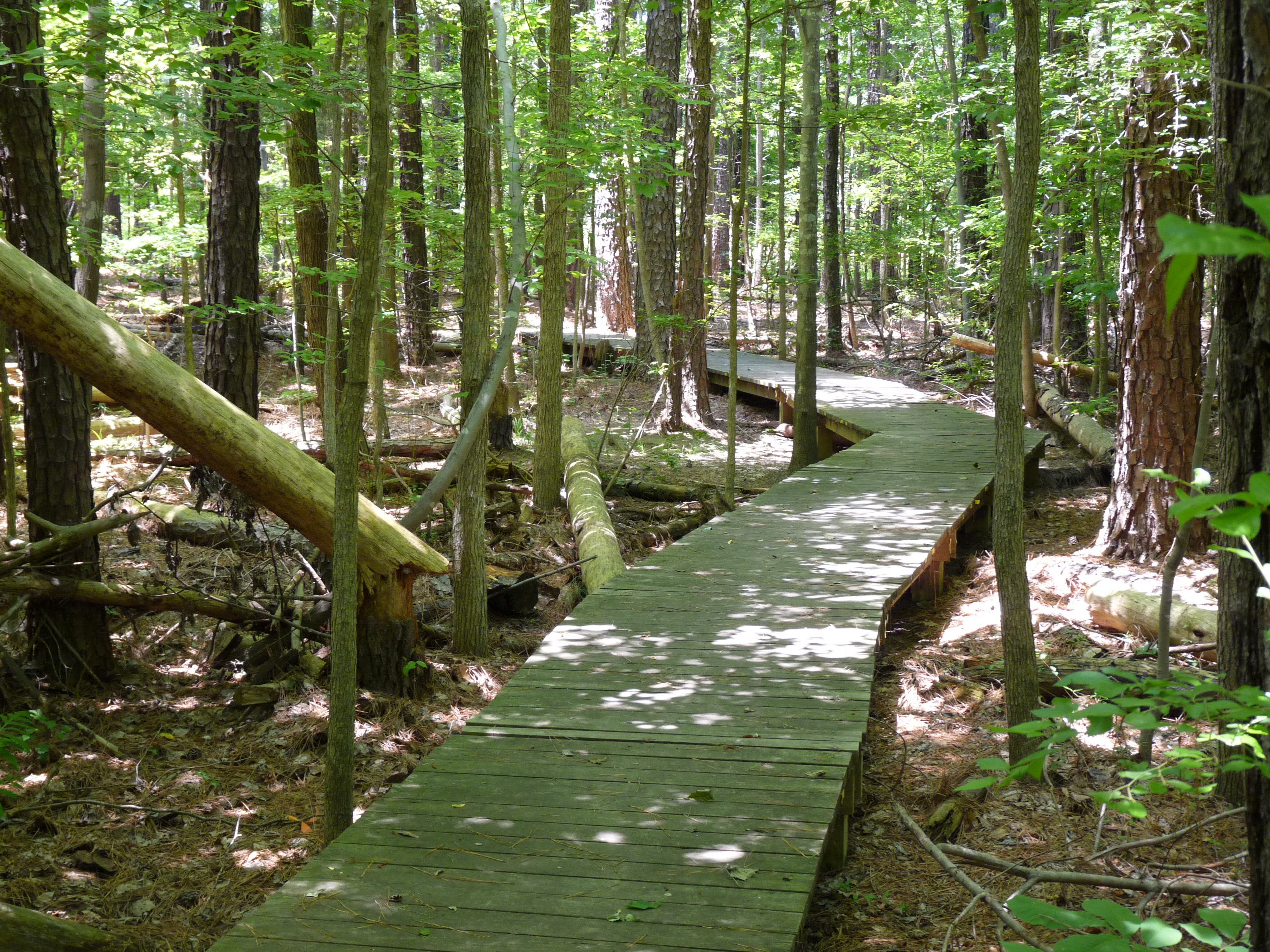
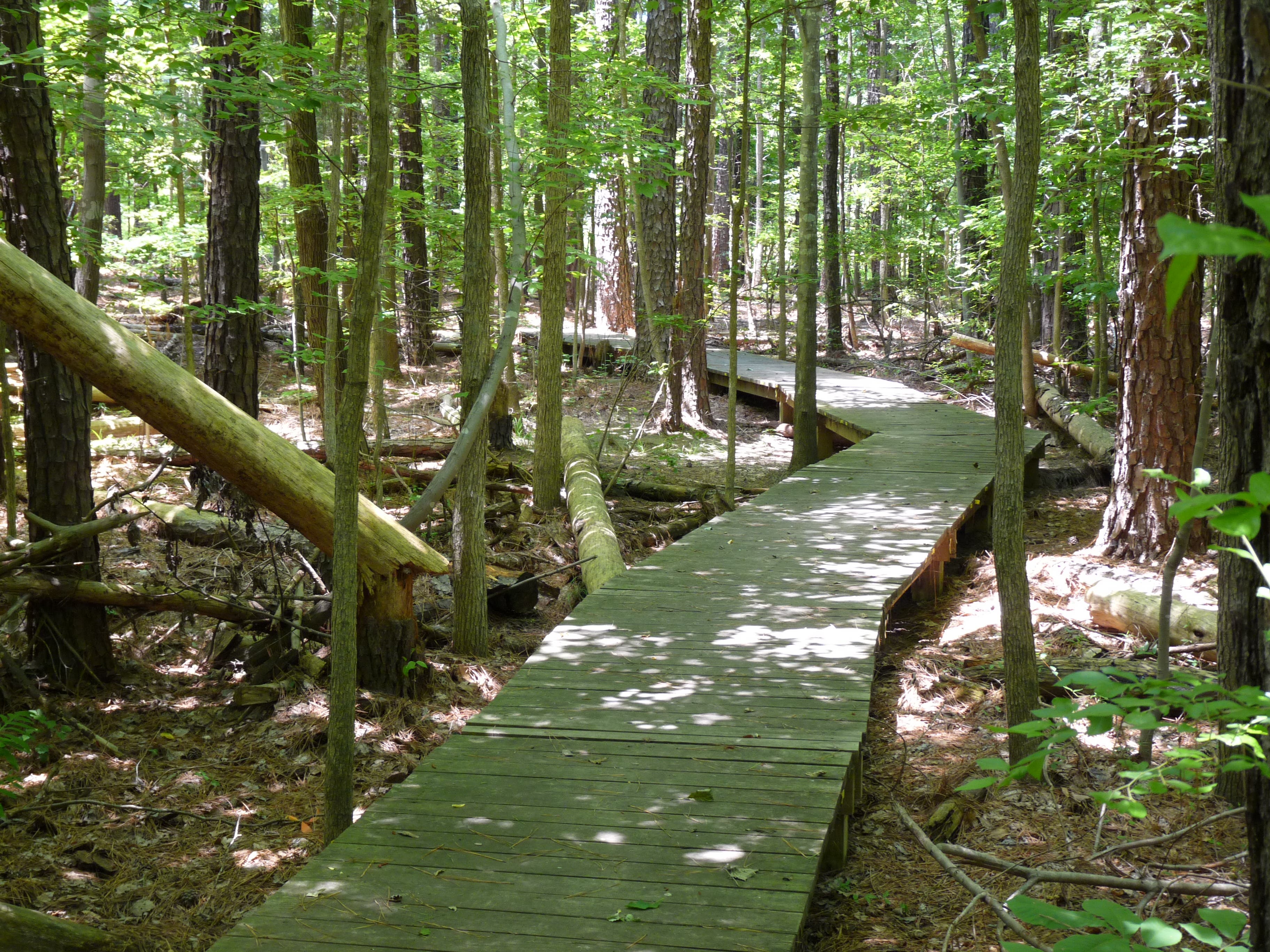
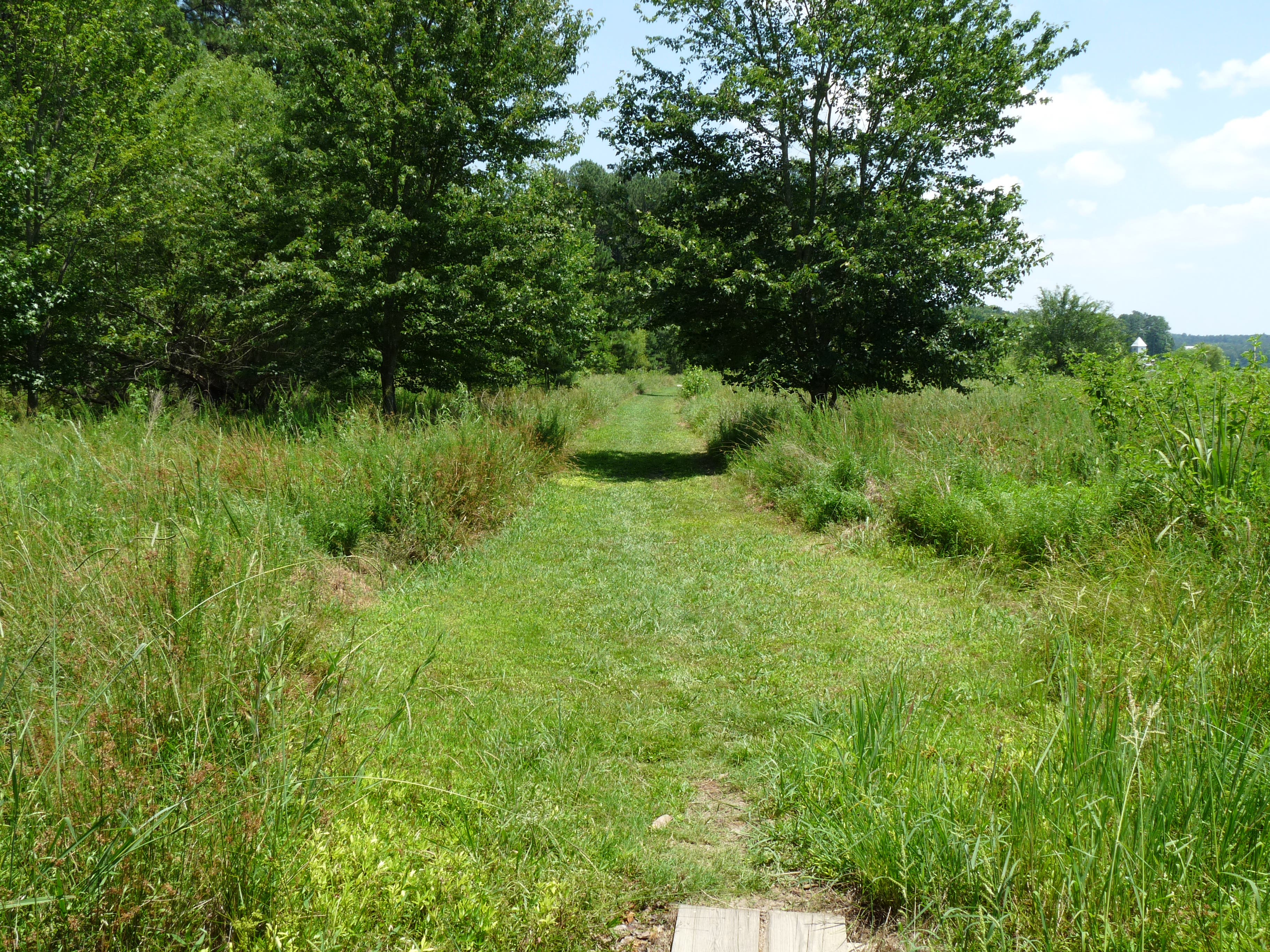
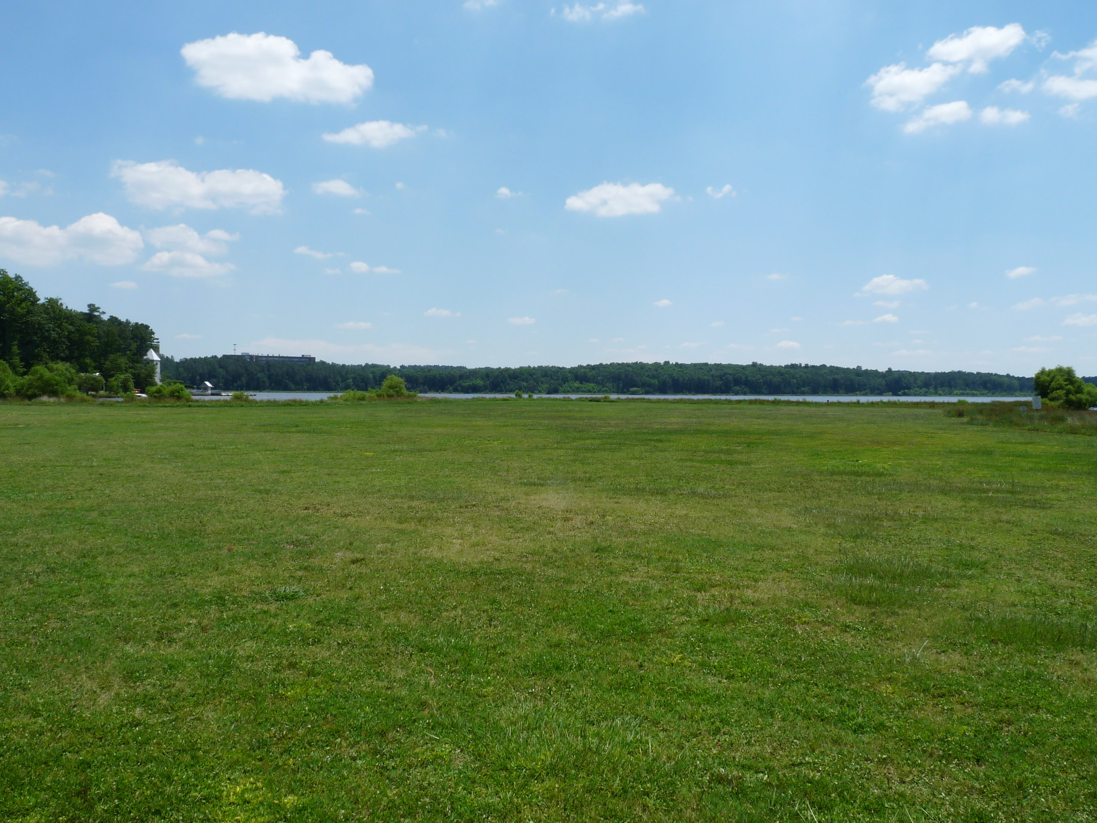
Cross boardwalks over lowlying areas and bubbling creeks that feed into Crabtree Lake before emerging near Evans Road. The trail briefly passes behind some office buildings at Southport and goes on to follow Aviation Parkway. Here, the trail is close to the road and exposed, but it soon turns right and returns to the woods. An open field of swishing grass precedes the end of the trail and leads to a parking lot. Walk through the lot and take a right onto the park road. Follow the road to return to the trailhead and your car.
-Mapped by John Thomas
Trail Facts
- Distance: 9.8
Waypoints
LCT001
Location: 35.840012, -78.79078
The trail begins in the woods and immediately splits. Take a right down the hill.
LCT002
Location: 35.839942, -78.789836
Cross a small wooden bridge. At the split on the other side, go right.
LCT003
Location: 35.838707, -78.788978
A short walkers-only path leads to the Heather Carr Memorial and a nice overlook of the lake. Rejoin the trail a few hundred yards ahead.
LCT004
Location: 35.841317, -78.784901
At the drainage near I-40, bear right to continue the loop around the lake.
LCT005
Location: 35.839455, -78.78312
Pass through a chainlink fence to head for the dam.
LCT006
Location: 35.839177, -78.782219
Turn right at the top of the dam onto Black Creek Greenway, a paved path. Continue on this path for 3/4 mile until you come to Weston Parkway.
LCT007
Location: 35.830323, -78.785888
At Weston Parkway, the trail passes under the road and splits to the right, away from Black Creek Greenway.
LCT008
Location: 35.832549, -78.792433
Between miles 2 and 3.5 there are multiple unmarked trails branching off. As a rule, continue to bear right toward the lake to stay on the trail.
LCT009
Location: 35.828374, -78.807946
After crossing a wooden boardwalk, the trail turns right and travels alongside Evans Road. The trail is lower than the road, however, with trees separating the two.
LCT010
Location: 35.830879, -78.810586
A bridge crosses Crabtree Creek before the trail departs from Evans Rd.
LCT011
Location: 35.832358, -78.809856
After walking on a large grassy path, the trail turns left into the woods.
LCT012
Location: 35.832984, -78.810564
After 4 miles, the trail travels between offices and Lake Crabtree through the Southport Business Park.
LCT013
Location: 35.840099, -78.807453
The trail crosses another boardwalk leading up to Aviation Parkway.
LCT014
Location: 35.840603, -78.807968
The trail turns right at Aviation Parkway to follow the road.
LCT015
Location: 35.8445, -78.801724
After walking alongside Aviation Parkway for just under half a mile, follow the trail to the right back into the woods.
LCT016
Location: 35.842152, -78.79608
After walking across a large open field, arrive at a parking lot. Pass through this lot and head for the park road.
LCT017
Location: 35.841943, -78.794943
Turn right at the park road and follow back to the trailhead.
P1030999.JPG
Location: 35.839229, -78.789235
© John Thomas
P1040002.JPG
Location: 35.838481, -78.788956
© John Thomas
P1040007.JPG
Location: 35.840256, -78.786532
© John Thomas
P1040008.JPG
Location: 35.841317, -78.784515
© John Thomas
P1040015.JPG
Location: 35.839612, -78.783216
© John Thomas
P1040018.JPG
Location: 35.837577, -78.783485
© John Thomas
P1040020.JPG
Location: 35.83415, -78.786564
© John Thomas
P1040021.JPG
Location: 35.830392, -78.786145
© John Thomas
P1040023.JPG
Location: 35.832828, -78.791971
© John Thomas
P1040026.JPG
Location: 35.828792, -78.808419
© John Thomas
P1040027.JPG
Location: 35.830618, -78.810446
© John Thomas
P1040028.JPG
Location: 35.830496, -78.810275
© John Thomas
P1040033.JPG
Location: 35.834776, -78.80947
© John Thomas
P1040033.JPG
Location: 35.840047, -78.807292
© John Thomas
P1040034.JPG
Location: 35.842291, -78.80506
© John Thomas
P1040036.JPG
Location: 35.842221, -78.798441
© John Thomas
P1040038.JPG
Location: 35.842221, -78.796424
© John Thomas