Raleigh, NC: Eno River-Cox Mountain

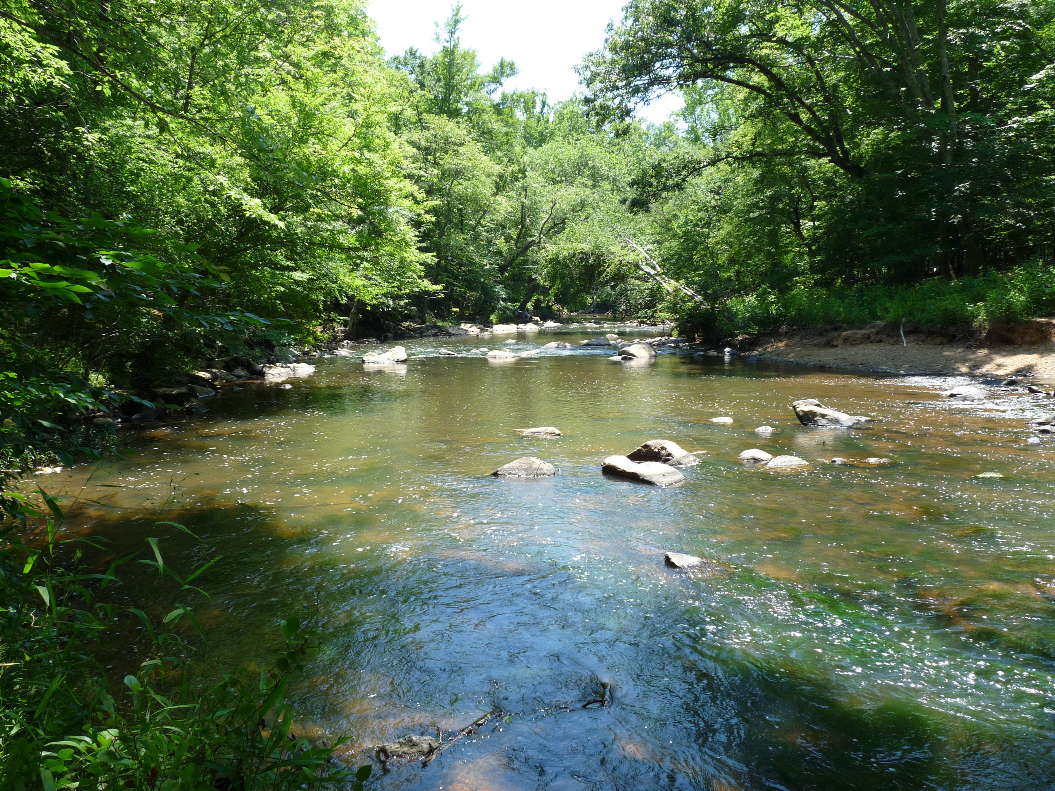
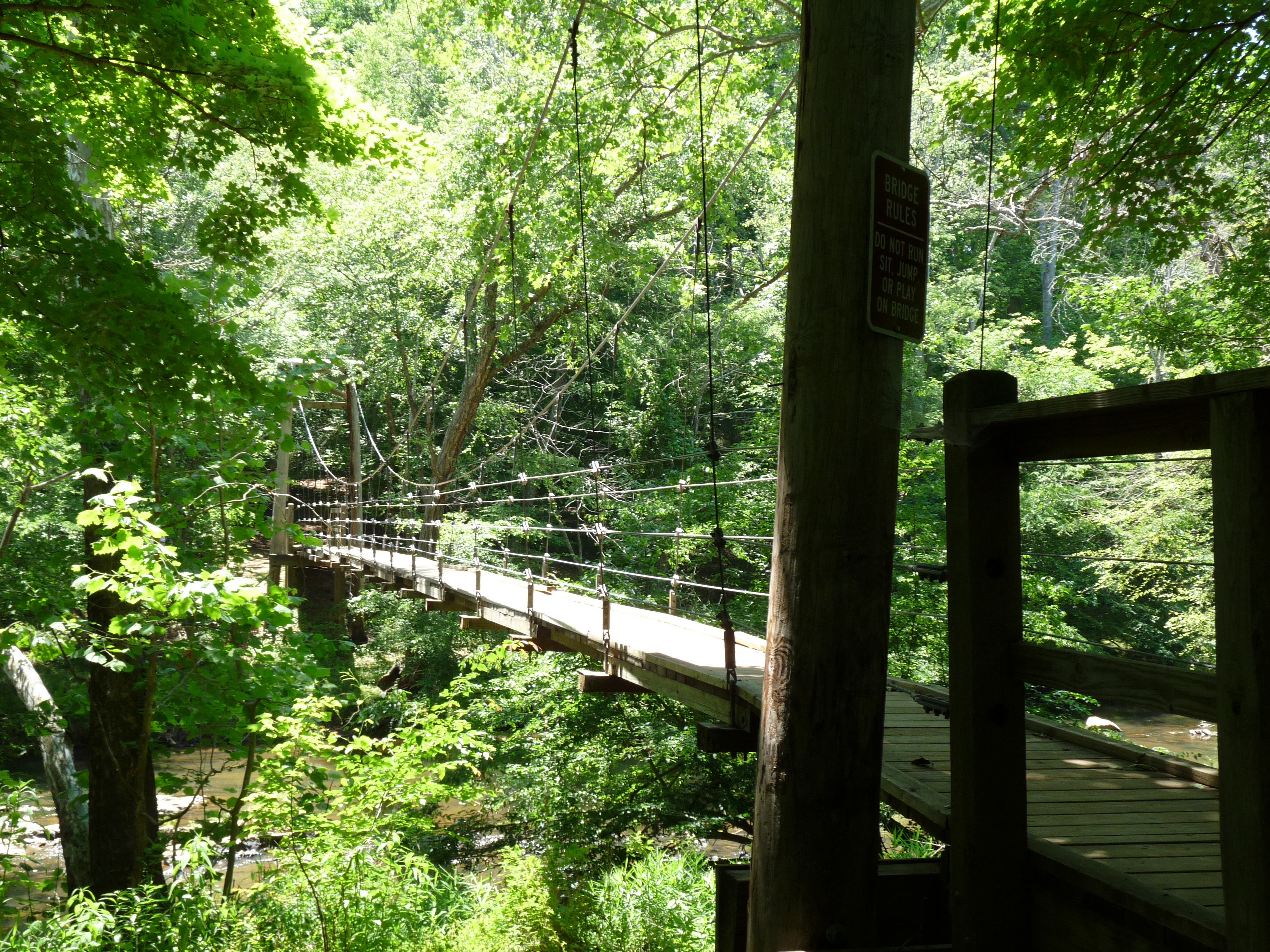
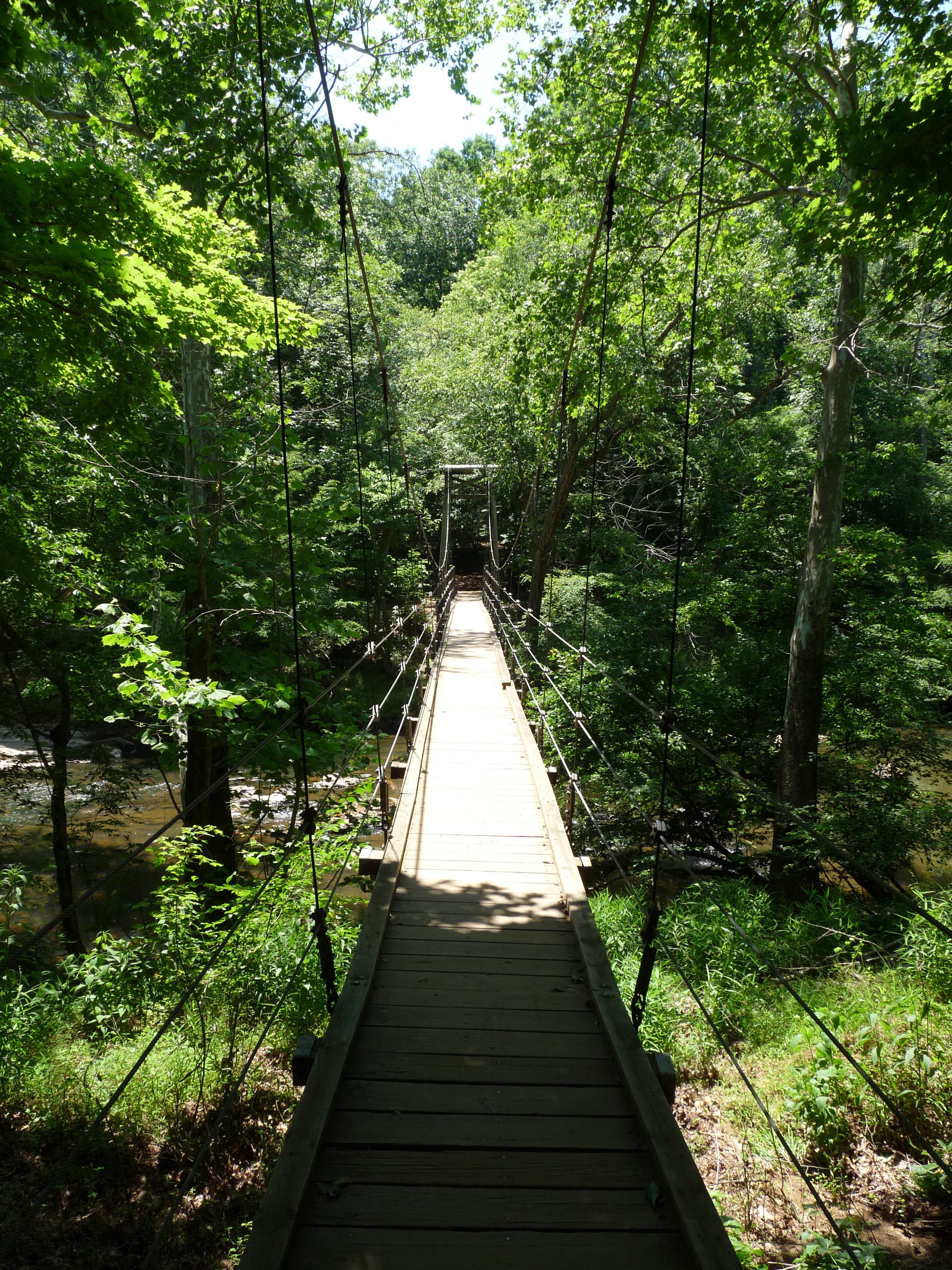
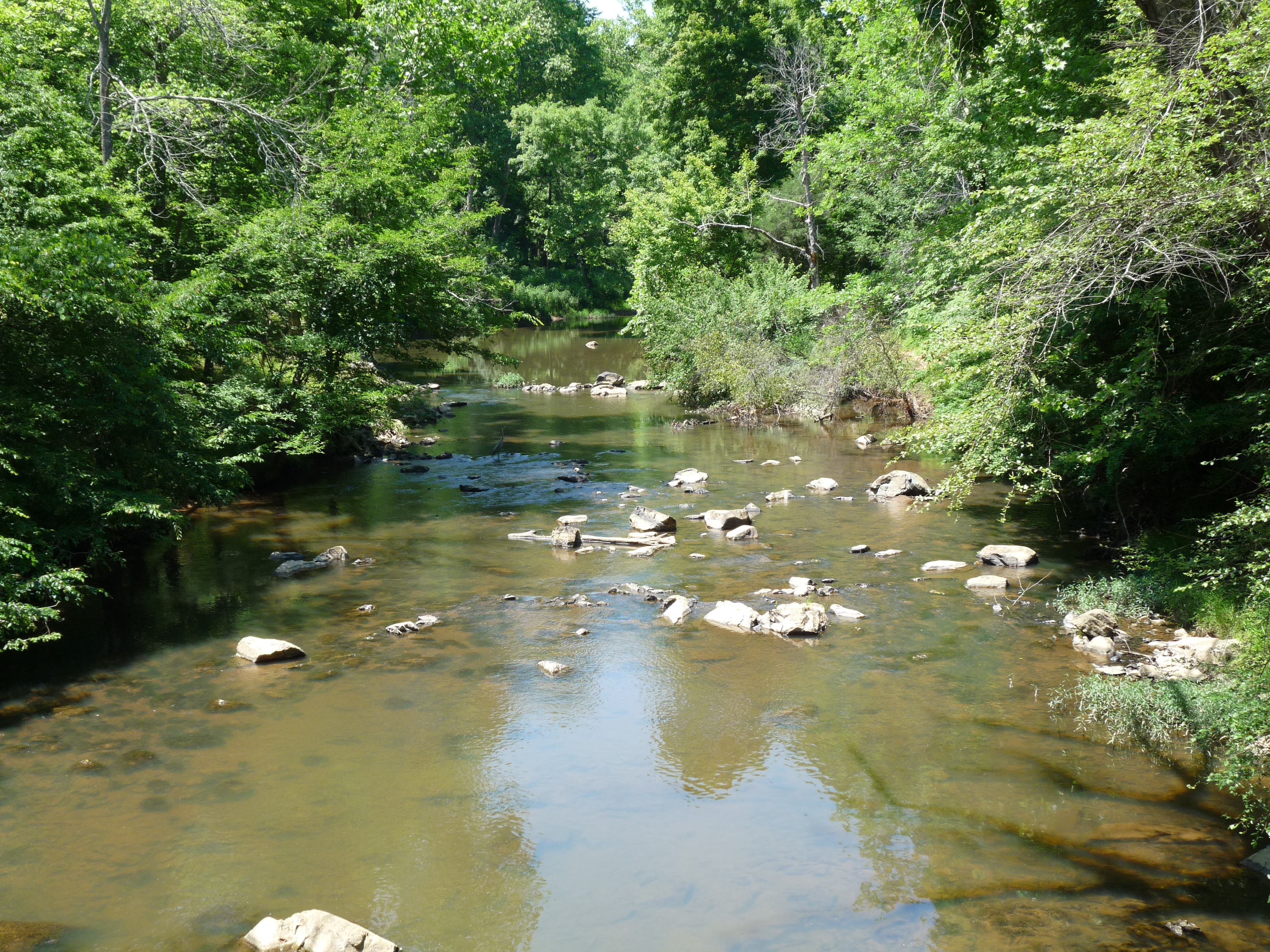
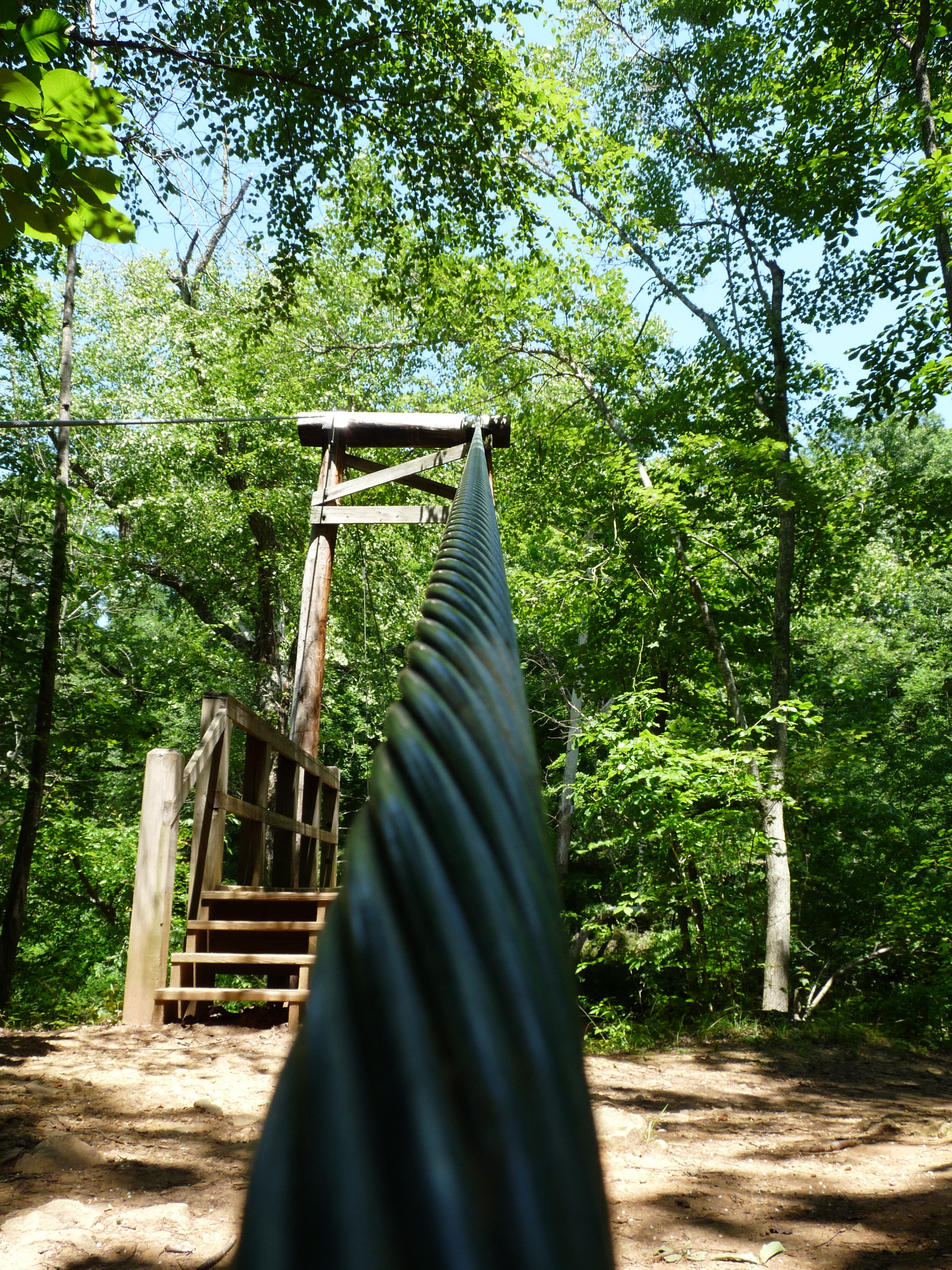
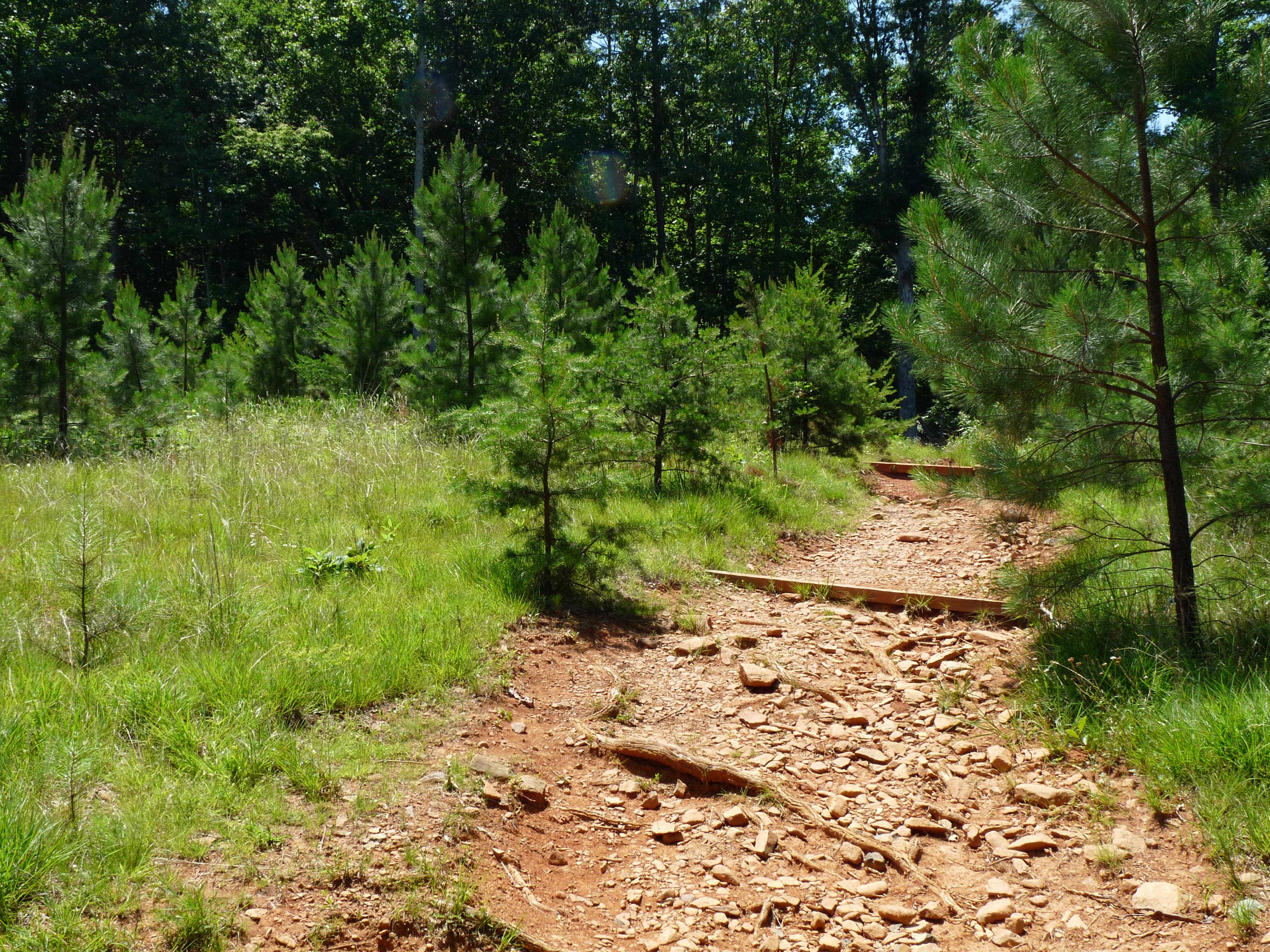
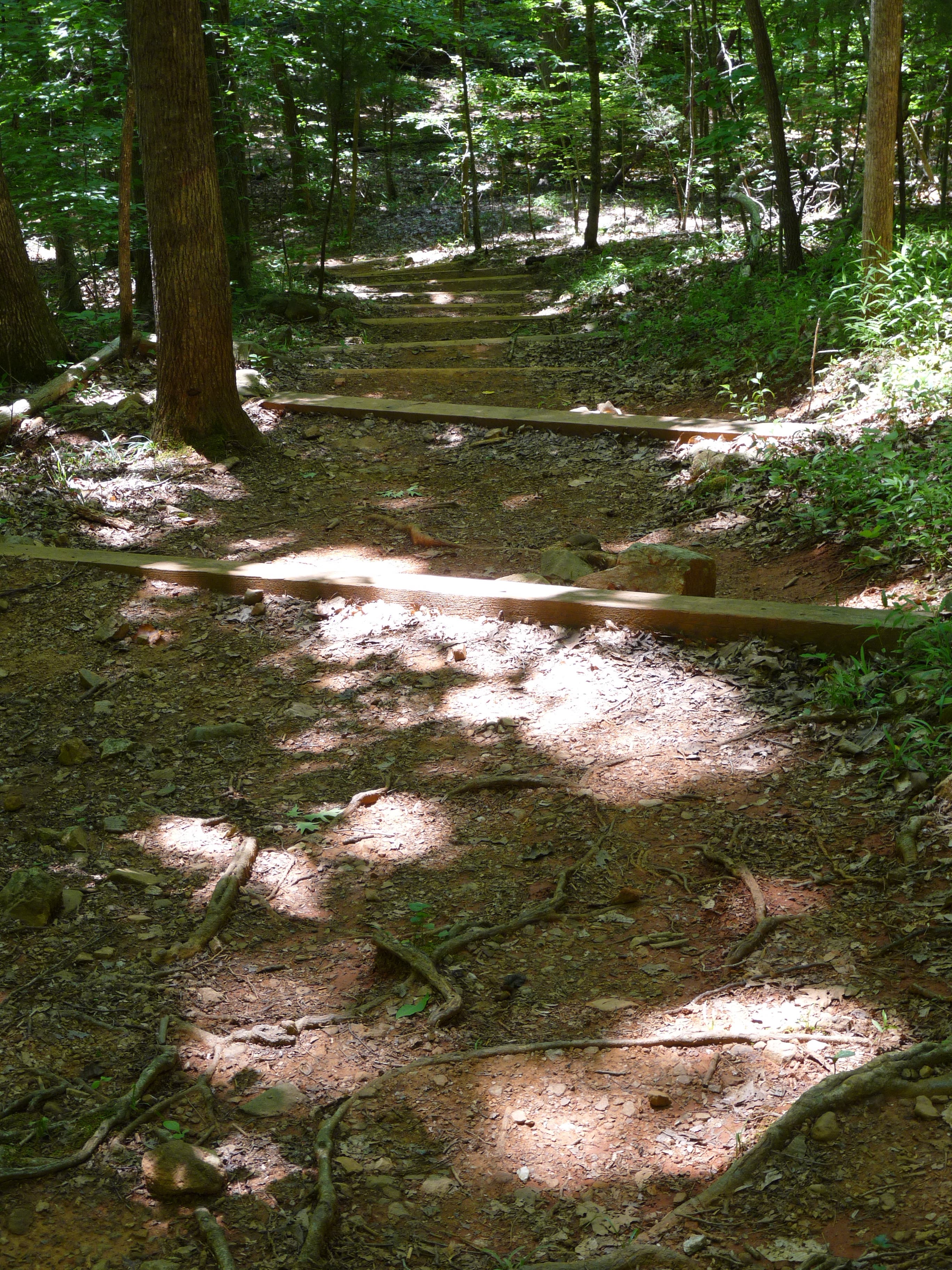
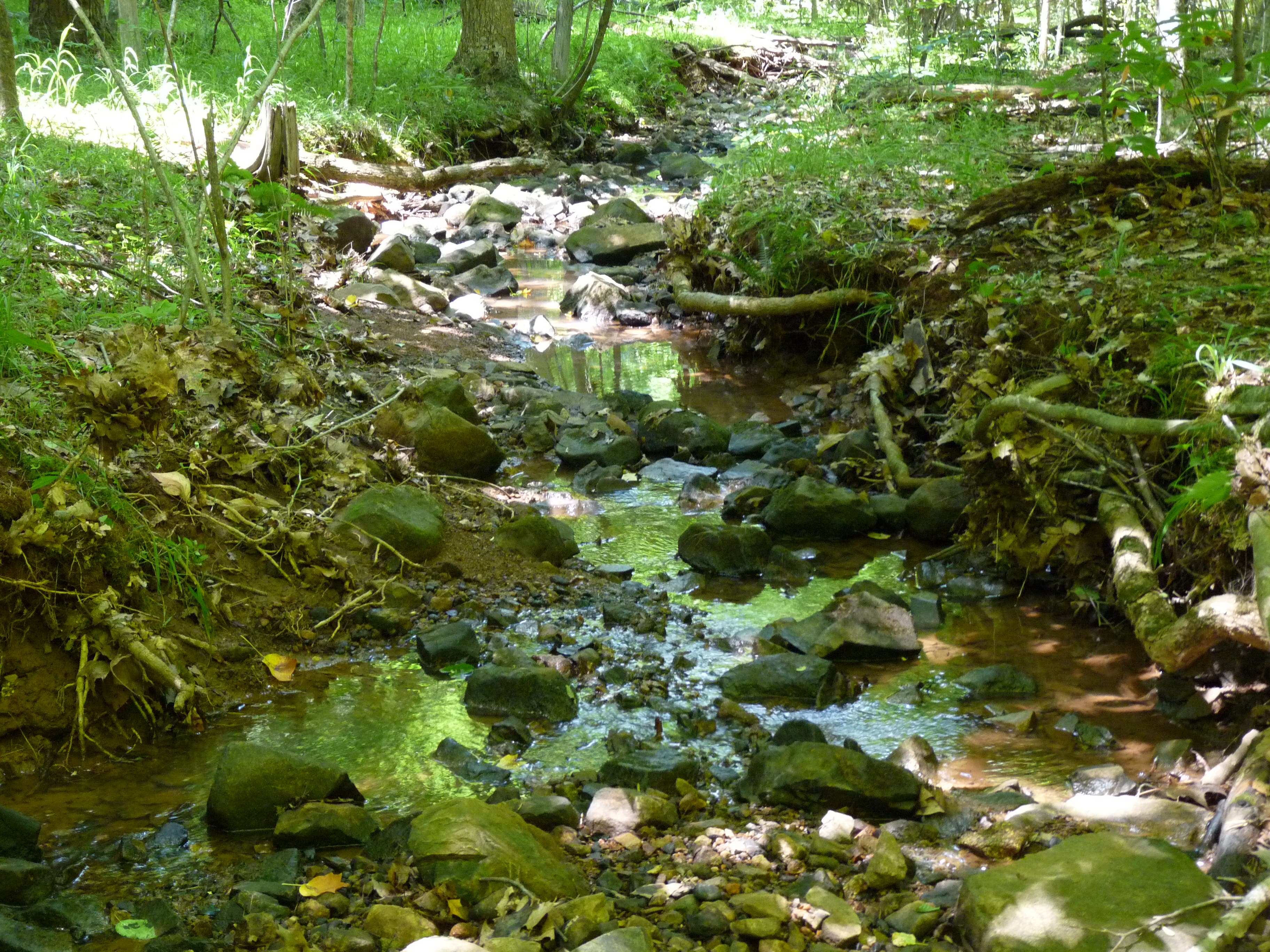
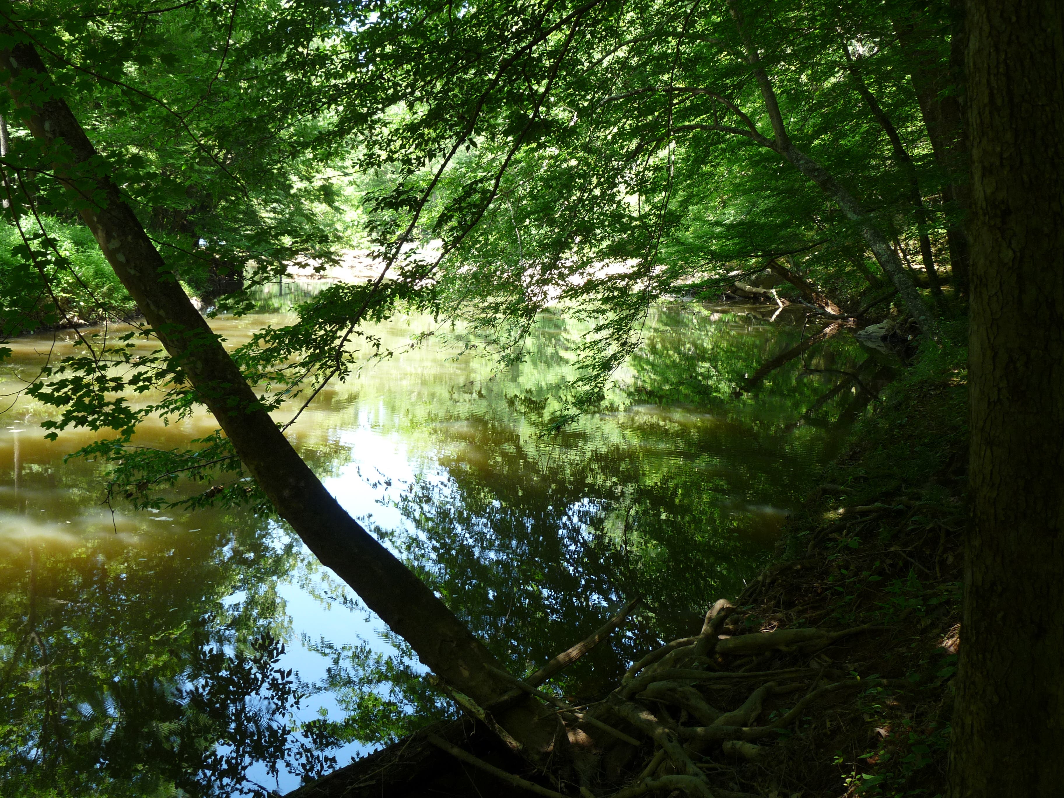
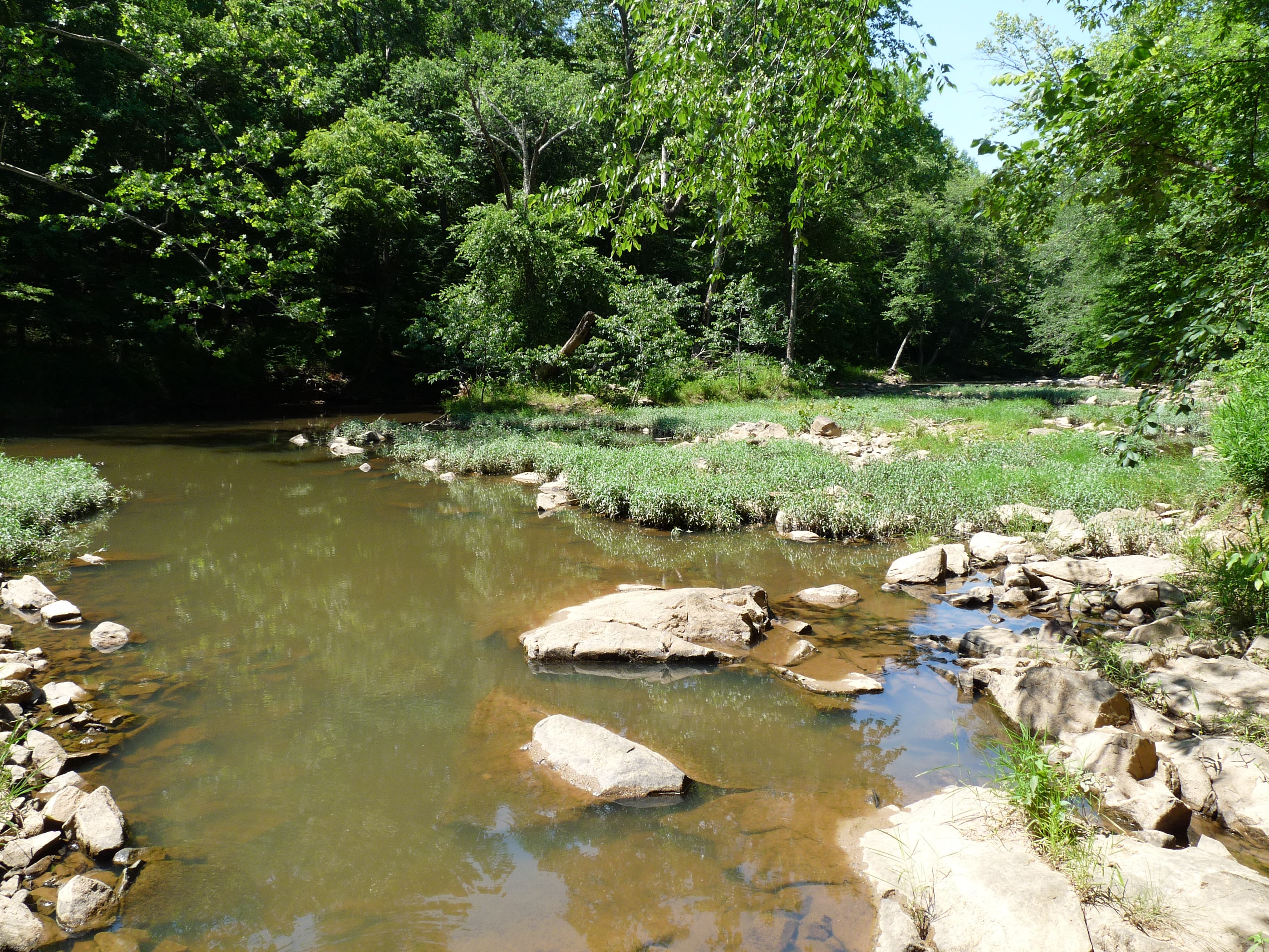
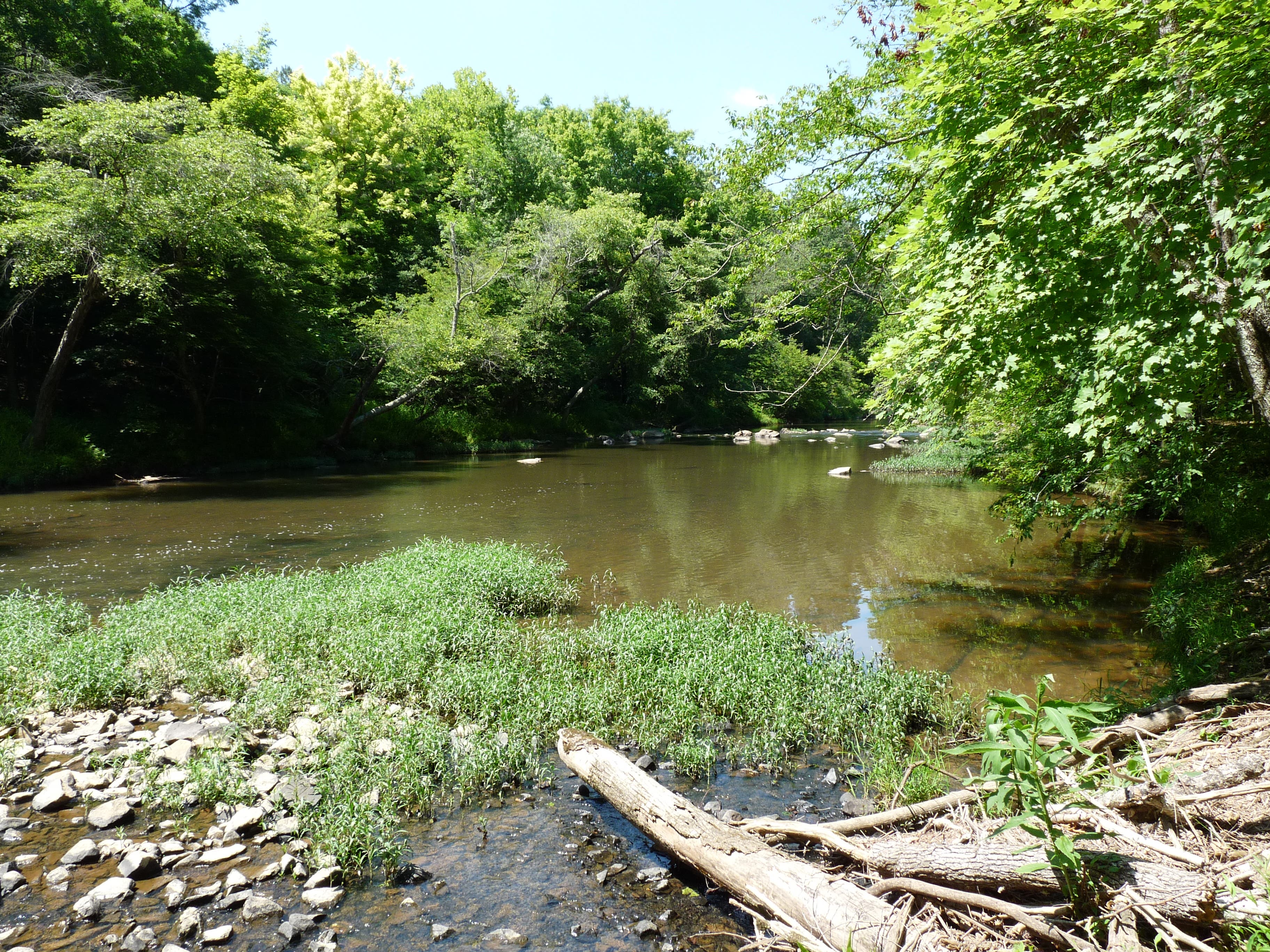
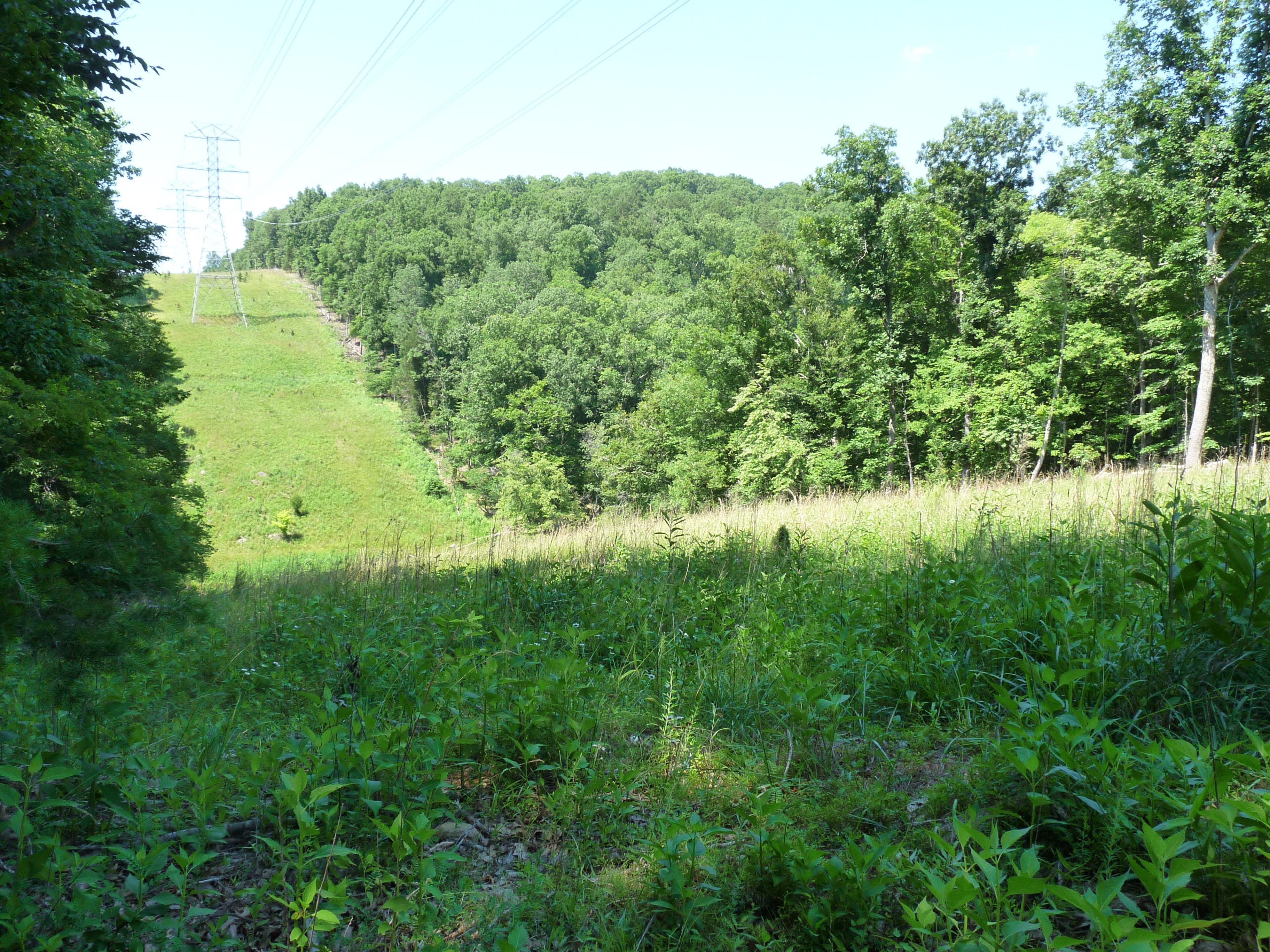
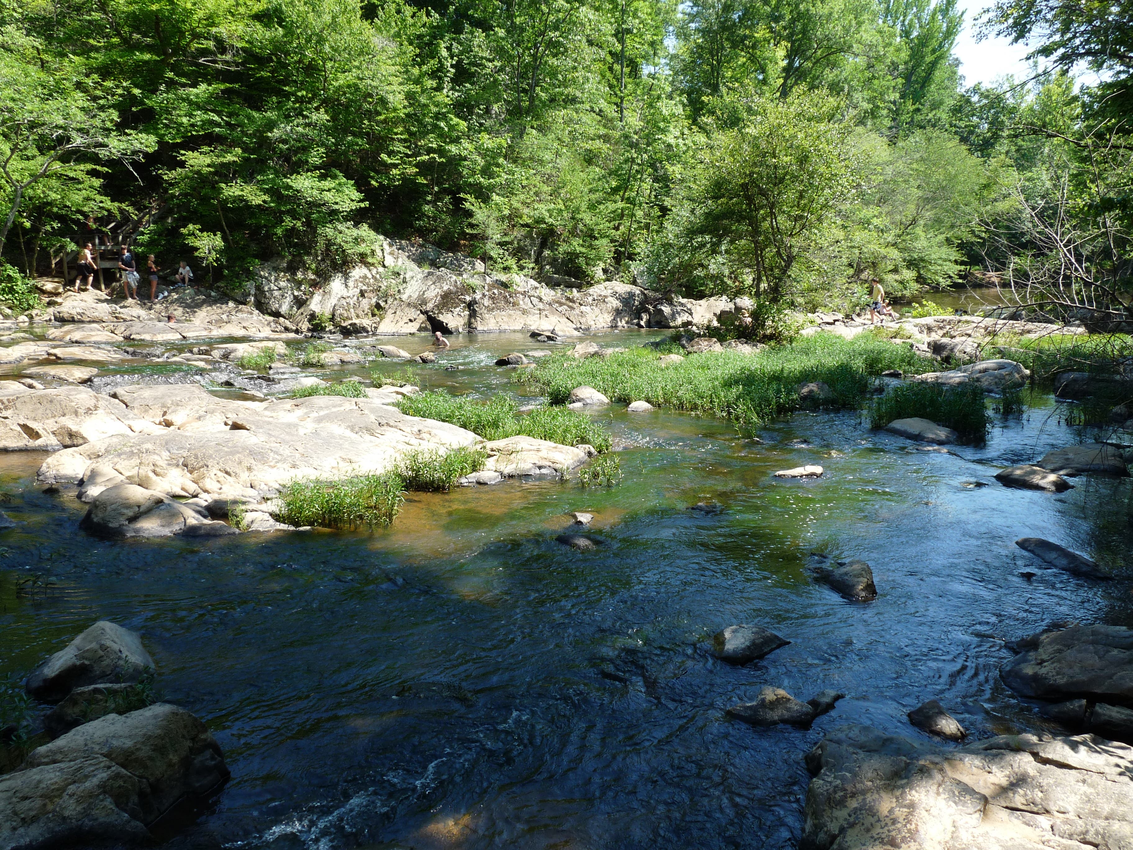
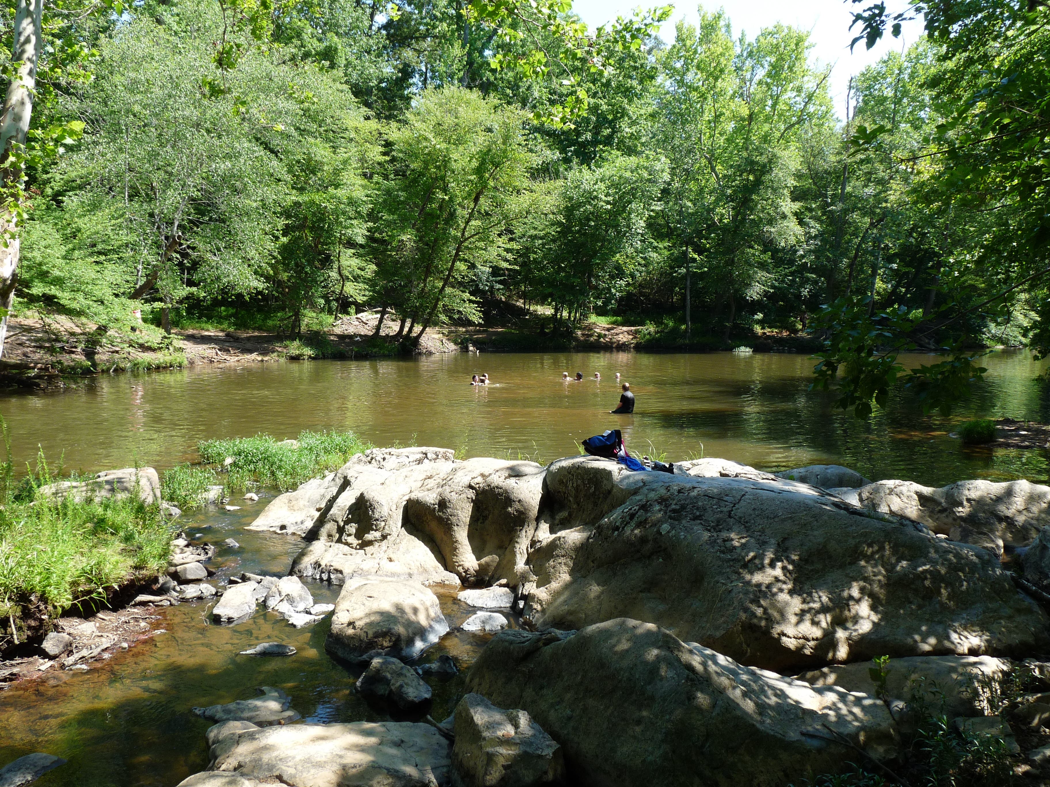
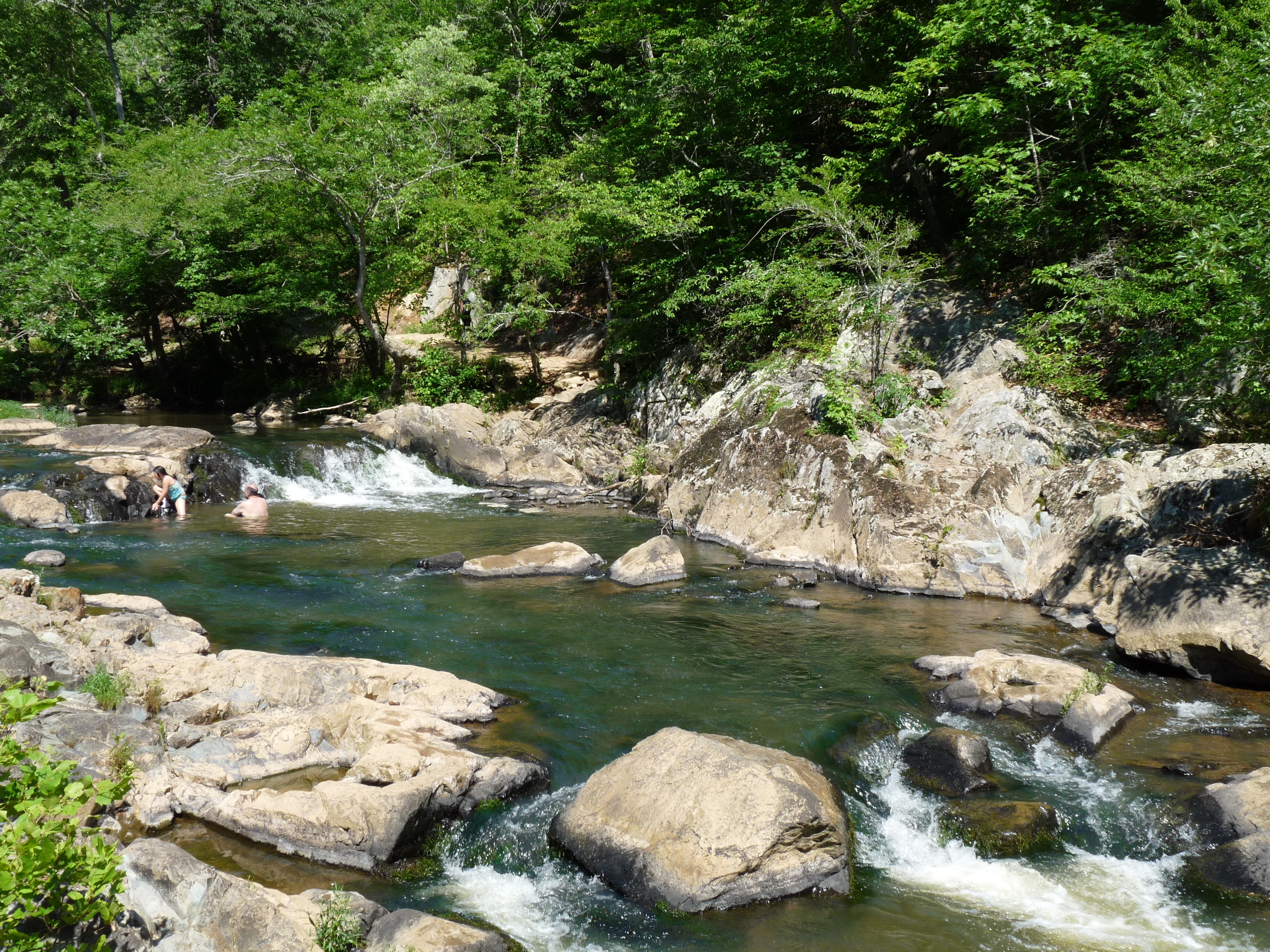
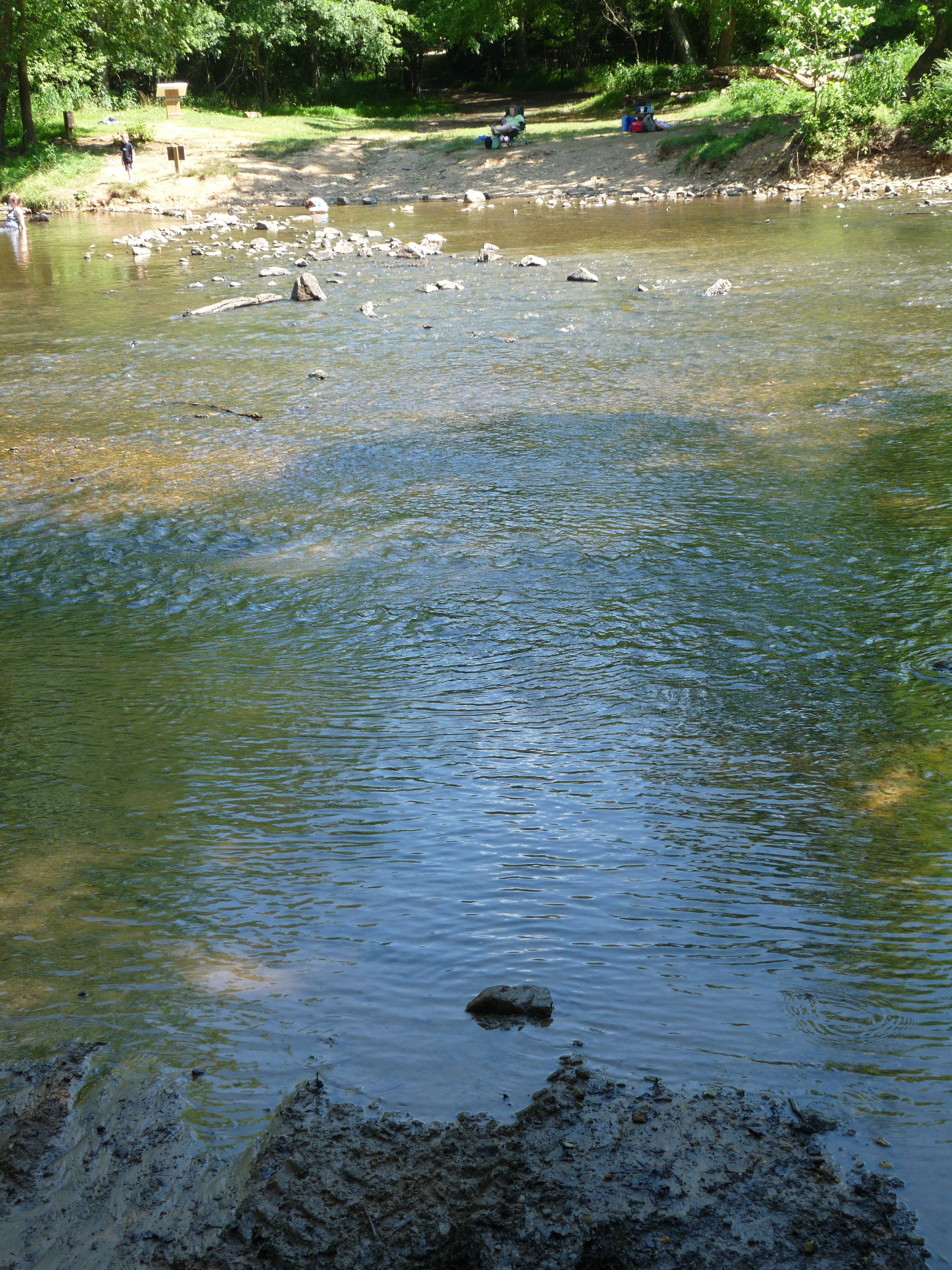
Maps are available at the trailhead. Follow the cement sidewalk through the picnic area to the trail which leads down a hill. Follow this trail which will bring you down to the Eno River and eventually to a suspension foot bridge. Cross the bridge, which can be a bit exciting as the bridge bounces and swings with each step. Continue on the trail until the trail splits. At this point, the loop begins, and you can either left or continue straight. I went left to get the climb out of the way at the beginning of the hike. The trail climbs pretty steeply for a while before reaching a cut in the forest for power lines near the summit. The trail then descends down the other side of the hill back to the Eno. Follow the trail along the Eno where you will see some cascades, several turtles, and I also saw a pool of water about 3 feet deep on the opposite side of the trail from the river with 5 fish in it. They must have gotten trapped there after a heavy rain when the river was high. I wonder how long that pool a) has been there and b) will last, especially now that it’s summer and temps will be in the 90s for the next few months. The trail then turns away from the river and crosses power lines. At the next trail junction, you can go right to complete the loop and retrace your steps back to the parking. I chose, to go left, though, and recommend doing the same. This brings you through the campground at Fanny’s Ford (I wanted to check out the campground in case I want to camp here sometime in the future). Walk through the entire campground, past the pit toilet, and back to the river, and turn right. This trail walks along the river through a very neat section where the river goes through a long cascade around and over rocks, including a section with a small waterfall followed by a pool, which leads into another small waterfall. Several people were swimming in this section of the river, and I was very envious seeing as it was absolutely beautiful, and I was very hot on this 90 degree day. The trail eventually reaches Fews Ford, where it turns right. Follow the trail, keeping left at the junction where the trail meets the Cox Mountain Trail. From here, you will soon finish the loop and retrace your steps back to the car. This is the best hike I’ve been on in Eno, and the river was really beautiful in this area with lots of cascades and the clearest river water I’ve seen in the Triangle.
Mapped by John Thomas
Trail Facts
- Distance: 7.1
Waypoints
ECM01
Location: 36.073965, -79.006076
Parking Lot
ECM02
Location: 36.074112, -79.007782
You can take a short jaunt down the hill to the river here, but stay right to continue on the trail
ECM03
Location: 36.075066, -79.007374
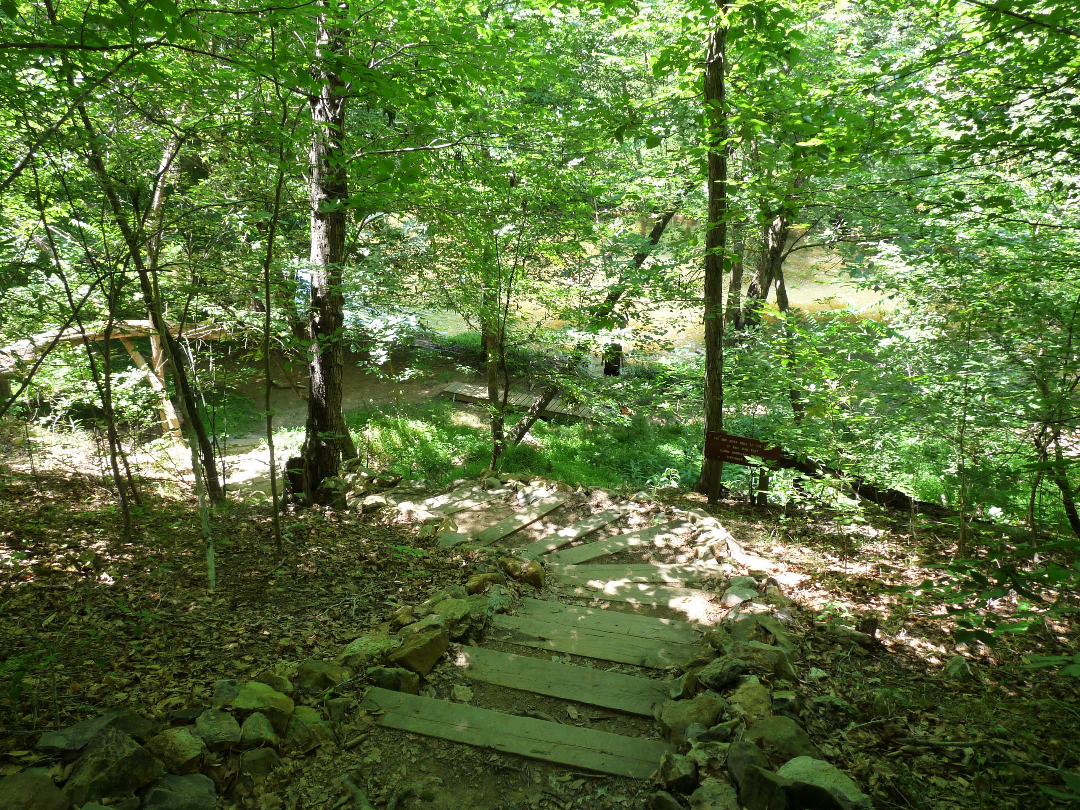
The trail descends several earthen steps down to the Eno which it paralells for a little bit
ECM04
Location: 36.075447, -79.007846
Cross the suspension bridge, and note all sign marking the level the Eno reached during Hurricane Fran in 1996
ECM05
Location: 36.075135, -79.008704
Right at T. A cabin is off to the left, but you want to stay right for Cox Mountain
ECM06
Location: 36.077563, -79.012116
The loop begins here. You can go either right or left, but to get the hill out of the way early, go left.
ECM07
Location: 36.078361, -79.014798
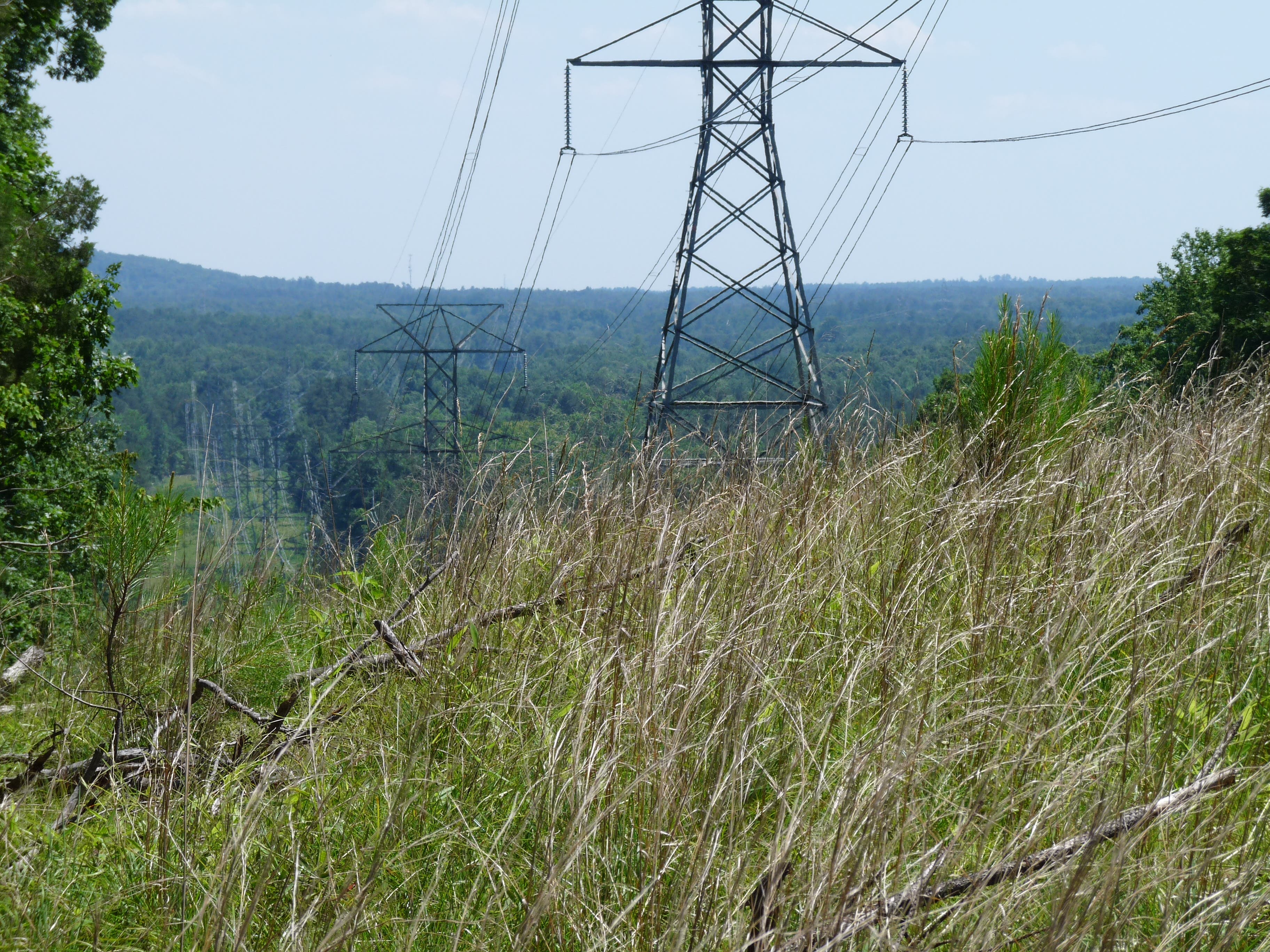
Take in the view in this opening in the forest where the power lines cut through. It’s a shame the power lines are in the way, but views like this are so rare in this area, that it’s worth it.
Return to the Eno
Location: 36.082107, -79.022051
After descending the west side of Cox Mountain, the trail meets back up with the Eno River here and parallels it for a while
Power Line again
Location: 36.085627, -79.016687
Cross the power lines again, this time in the other direction
Left at Jct
Location: 36.080442, -79.009455
To finish the loop, go right at this junction, but to see a beautiful part of the Eno River, go right, walk through the backcountry campsite, and down to the river.
Right at Jct
Location: 36.082575, -79.005679
At the river, go right on the trail, which parallels the river
Cascade
Location: 36.080459, -79.00613
Take a short path off the main trail to check out a cascade where you might see some swimmers
Two Falls
Location: 36.08006, -79.006451
Take another short trail to the river to check out the most beautiful part of the river I’ve found yet. It’s a relatively broad and long cascade with two back to back small waterfalls (2-4 feet tall) very popular with swimmers
Right
Location: 36.079592, -79.007396
When you reach Fews Ford, go right along the trail.
Stay Straight
Location: 36.079696, -79.009799
The trail rejoins the Cox Mountain Loop at this point. Go left to complete the loop, then retrace your steps across the suspension bridge and back to the parking lot
P1030761.JPG
Location: 36.074095, -79.007825
The small sign marks the level of the Eno during Hurricane Fran
P1030764.JPG
Location: 36.075048, -79.00746
P1030768.JPG
Location: 36.07543, -79.007546
P1030770.JPG
Location: 36.07543, -79.007567
P1030774.JPG
Location: 36.07543, -79.007868
P1030778.JPG
Location: 36.075343, -79.008147
P1030780.JPG
Location: 36.078344, -79.014541
P1030781.JPG
Location: 36.078344, -79.014863
P1030784.JPG
Location: 36.080841, -79.020957
P1030786.JPG
Location: 36.080511, -79.022287
P1030788.JPG
Location: 36.082055, -79.022051
P1030791.JPG
Location: 36.084014, -79.021343
P1030798.JPG
Location: 36.085558, -79.020635
P1030801.JPG
Location: 36.085558, -79.016644
P1030806.JPG
Location: 36.080442, -79.00613
P1030810.JPG
Location: 36.080026, -79.006494
P1030815.JPG
Location: 36.080026, -79.006366
P1030818.JPG
Location: 36.079575, -79.007438