Raleigh-Durham, NC: Occoneechee Mountain Loop

Getting to the highest point between North Carolina’s Research Triangle and the Atlantic Ocean is no easy feat, yet no easier is it to forget. Hiking among stretches of Chestnut Oaks that line Occoneechee Mountain, look for populations of groundhogs, wild turkey and deer drinking from the Eno River and feeding on the oak’s berries. Keep a keen eye out for the Brown Elfin Butterfly (a species found nowhere else in the region) that is believed to have been around since the Ice Age. Cap off all your hard work with a summit that has been prized by the region for years—something every outdoor adventurer in Raleigh-Durham must eventually conquer.
Take once last bathroom trip and grab some maps at the trailhead before heading off. On the path, walk west, soon crossing through a cut in the forest made for power lines. As you move, keep the peak on your inner edge. Traversing, expect to gain and lose elevation frequently.
About a mile in, you will cross a small bridge. Soon after, the trail will meet up with Eno River. Veer right with the trail to parallel the flower water. Take a break to look at the striking cliffs above. Eventually, turn right at the state park boundary and climb a set of stairs.
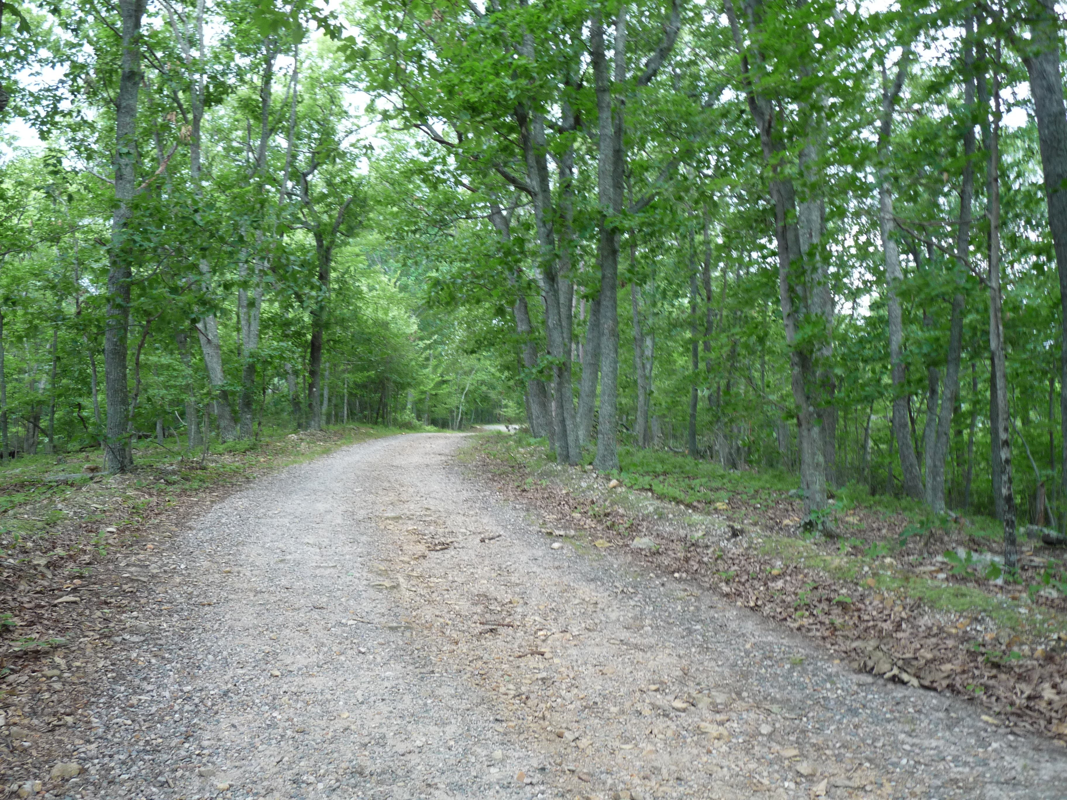
Near mile 1.6, you will run into a gravel road. Turn right on the road for the summit. At 867 feet, you will have topped Occoneechee. After patting yourself on the back, head in the direction of the way you came—this time, at the gravel road, taking a right on the Cox Mountain Loop. Continue around the mountain through thick stands of mountain laurel (rare in the Triangle) past two ponds, and back to the parking lot.
MORE PARK INFO: Occoneechee Mountain State Natural Area, (919) 383-1686; ncparks.gov/Visit/parks/ocmo/main.php
-Mapped by John Thomas
Trail Facts
- Distance: 5.1
Waypoints
OCC001
Location: 36.060479, -79.117441
Trailhead
OCC002
Location: 36.06041, -79.120671
Cross through a cut in the forest made for power lines.
OCC003
Location: 36.064364, -79.124876
Cross a small bridge
OCC004
Location: 36.064937, -79.123203
The trail meets up with the Eno River here. Go right as the trail parallels the river.
OCC005
Location: 36.065058, -79.120134
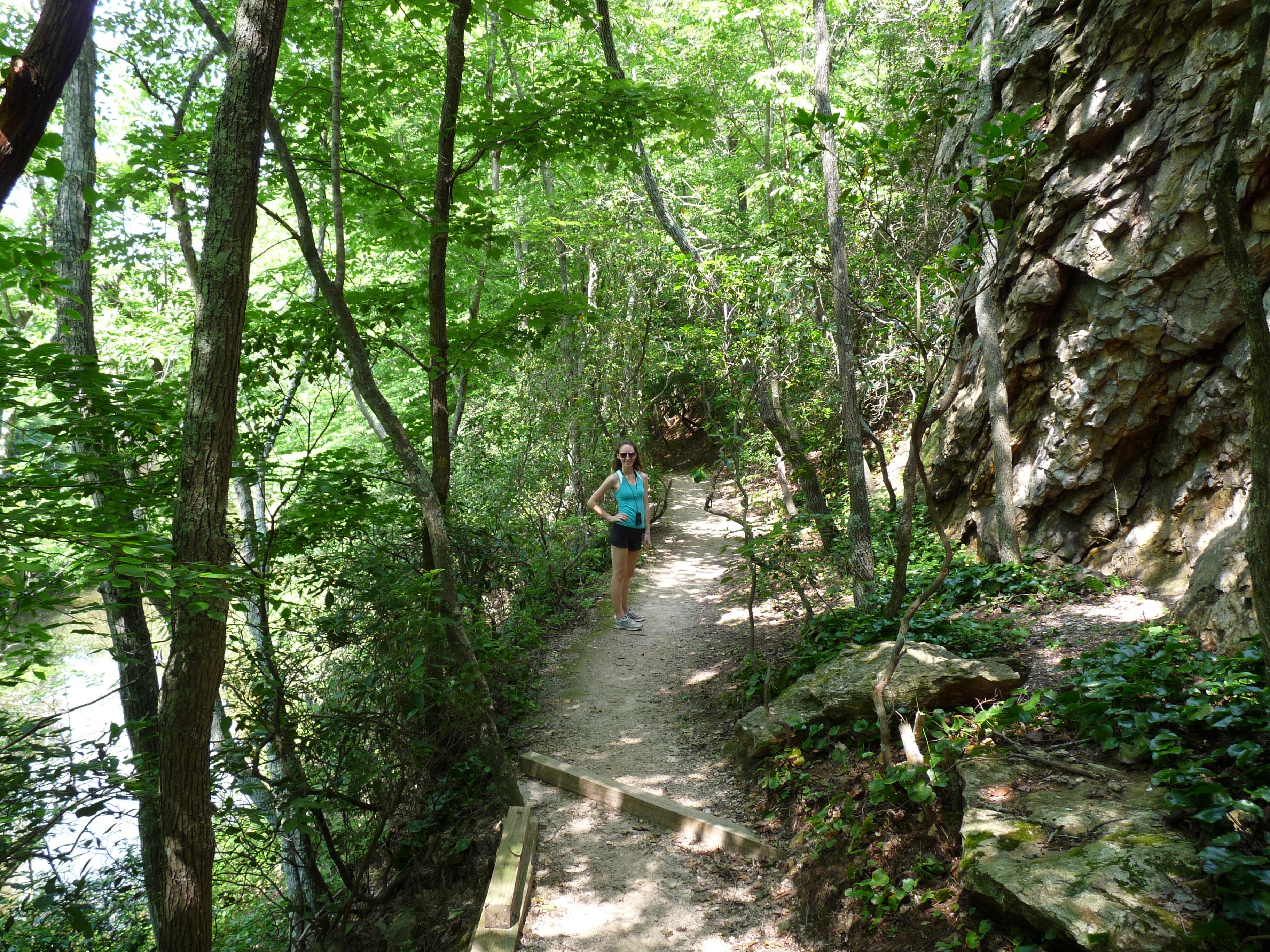
The trail traverses a bluff over the Eno with rock cliffs on one side and a steep drop to the river on the other.
OCC006
Location: 36.065769, -79.119169
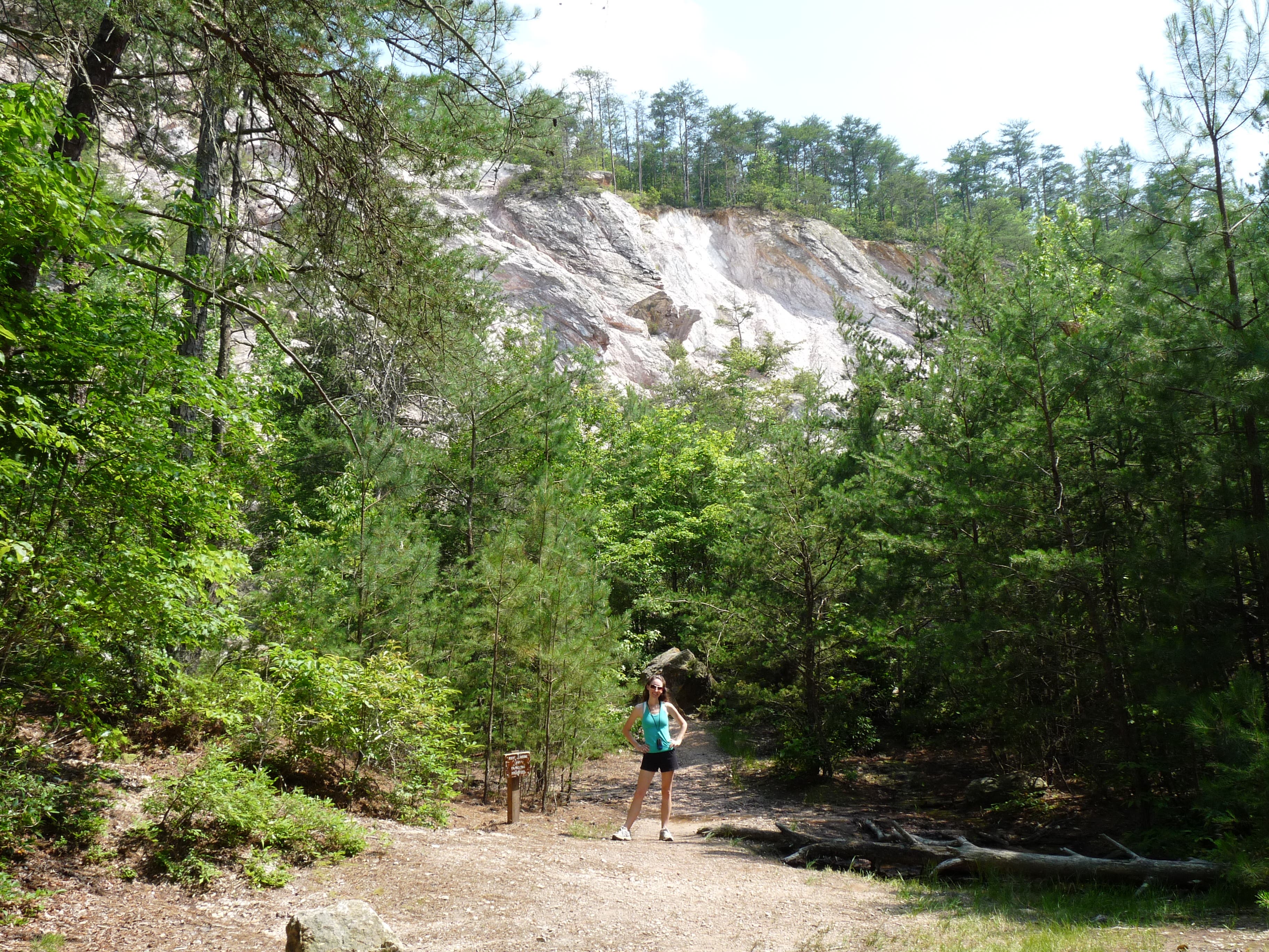
The trail climbs from the river and arrives at an impressive view of the quarry with sheer tall cliffs above. Follow the signs and go left here.
OCC007
Location: 36.066099, -79.118739
The trail turns right here at the state park boundary and climbs some stairs.
OCC008
Location: 36.065214, -79.117581
The Cox Mountain Trail goes left here, but continue right to the overlook from the top of the quarry.
OCC009
Location: 36.065093, -79.118117
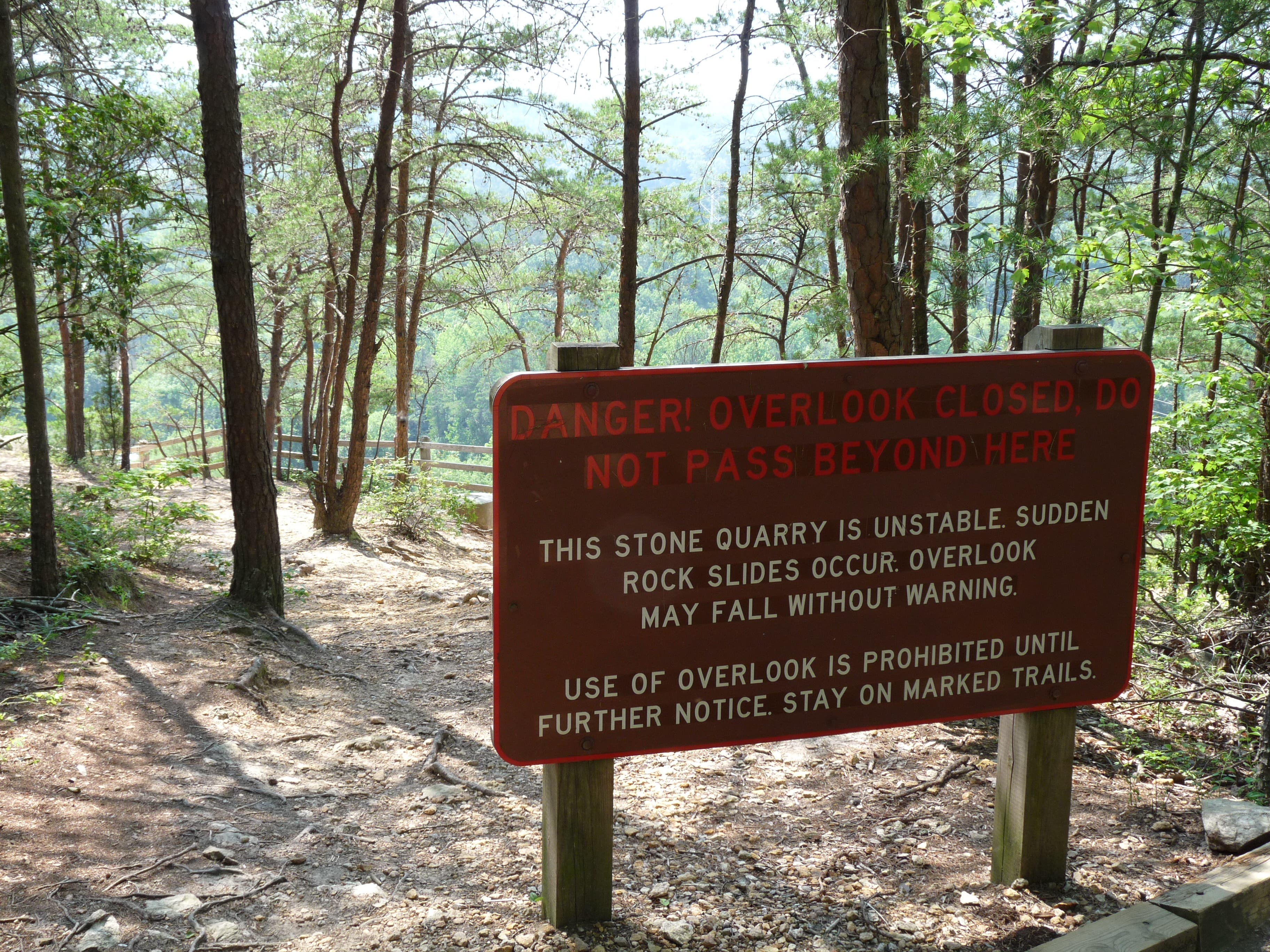
Overlook with a beautiful view of the river and forest below. Might be closed due to instability and unpredictable rock slides.
OCC010
Location: 36.064104, -79.117302
The trail arrives at a gravel road. Go right and it will take you to the summit.
OCC011
Location: 36.061936, -79.121572
At 867 feet, the summit. Turn around and backtrack to the Overlook Trail and then to the Cox Mountain Trail where you should go right to complete the loop.
OCC012
Location: 36.065353, -79.114448
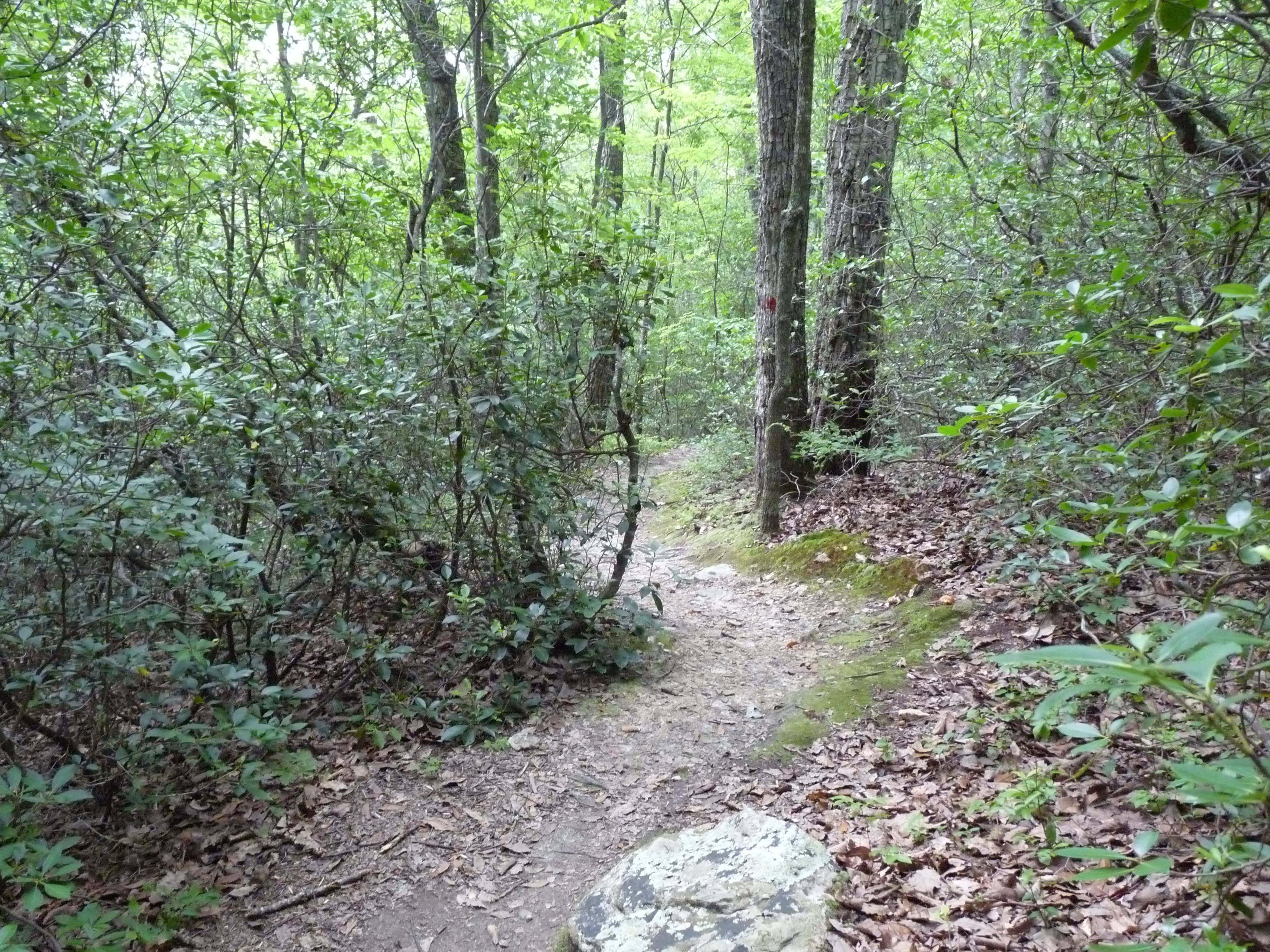
The trail walks along power lines and then turns right up into a section of the forest with narrow winding trail surrounded by mountain laurel.
OCC013
Location: 36.063809, -79.113289
Stay straight as the Brown Elfin Knob trail goes off to the left.
OCC014
Location: 36.061173, -79.11404
The trail turns right and exits the forest here near a pond.
OCC015
Location: 36.061416, -79.116014
The trail forks here. Go left to return to the parking lot.
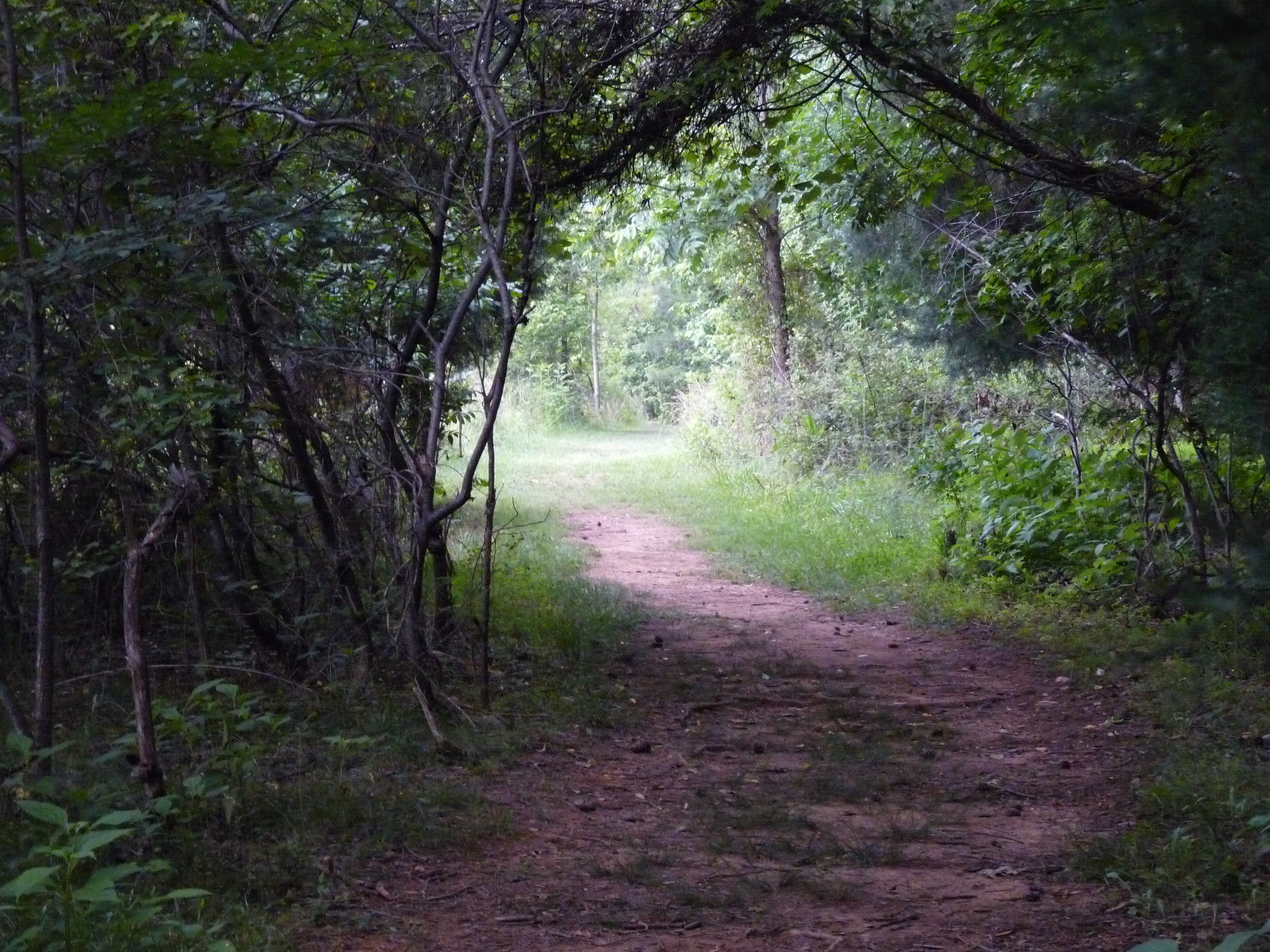
The winding trail
Location: 36.061155, -79.114062
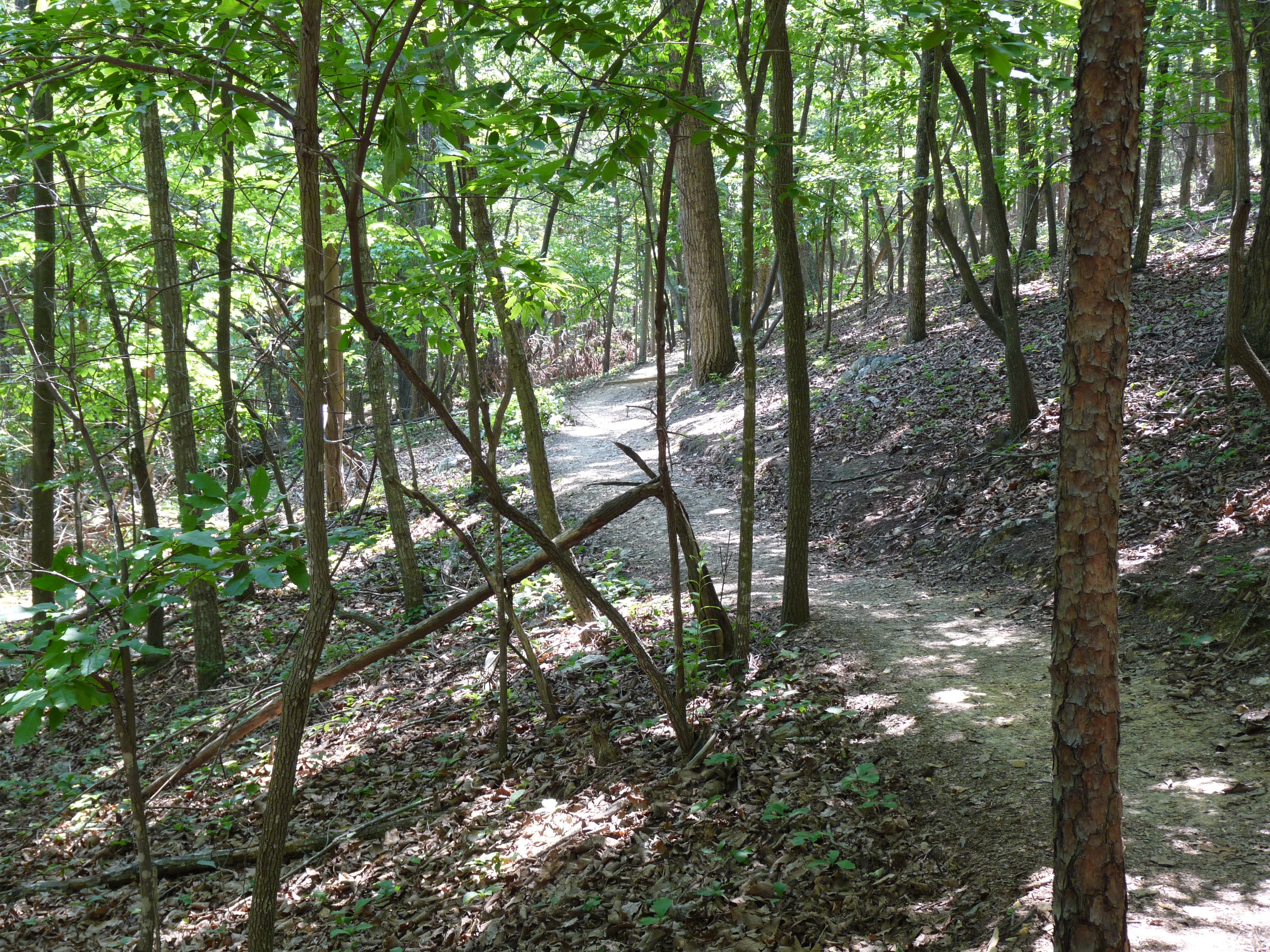
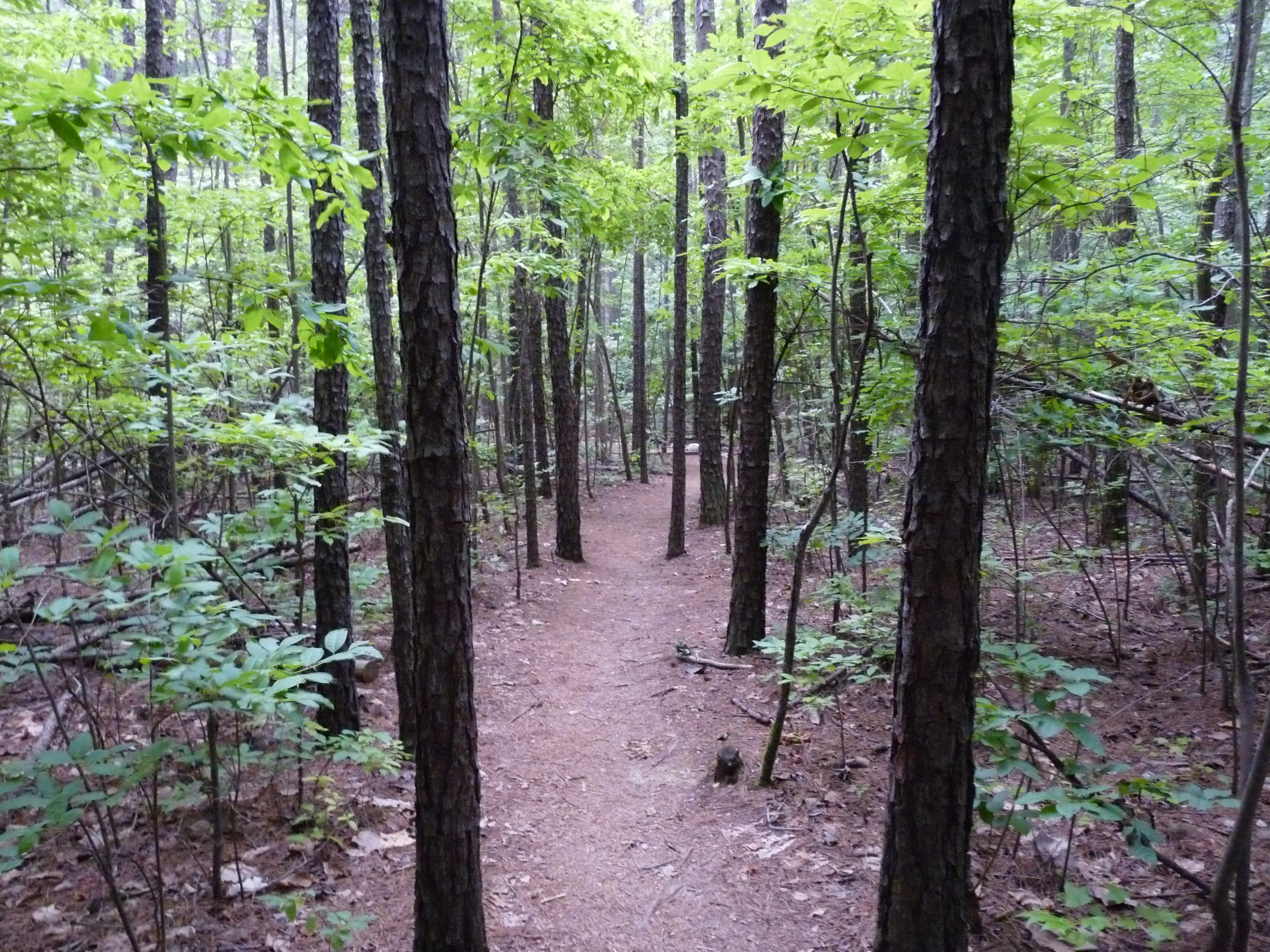
Weaving through Oaks
Location: 36.060756, -79.12125
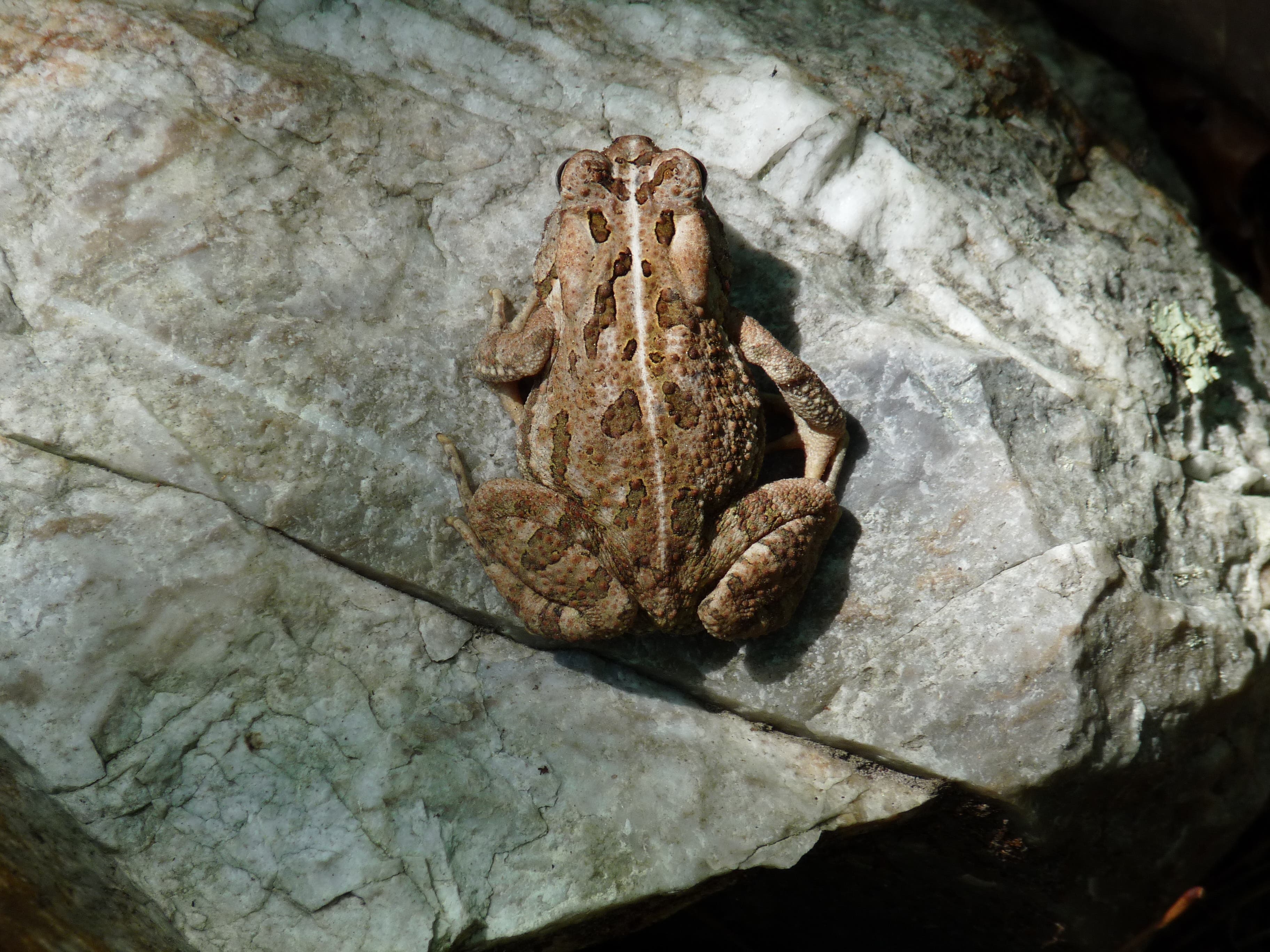
Keep an eye out for wildlife
Location: 36.062456, -79.12522
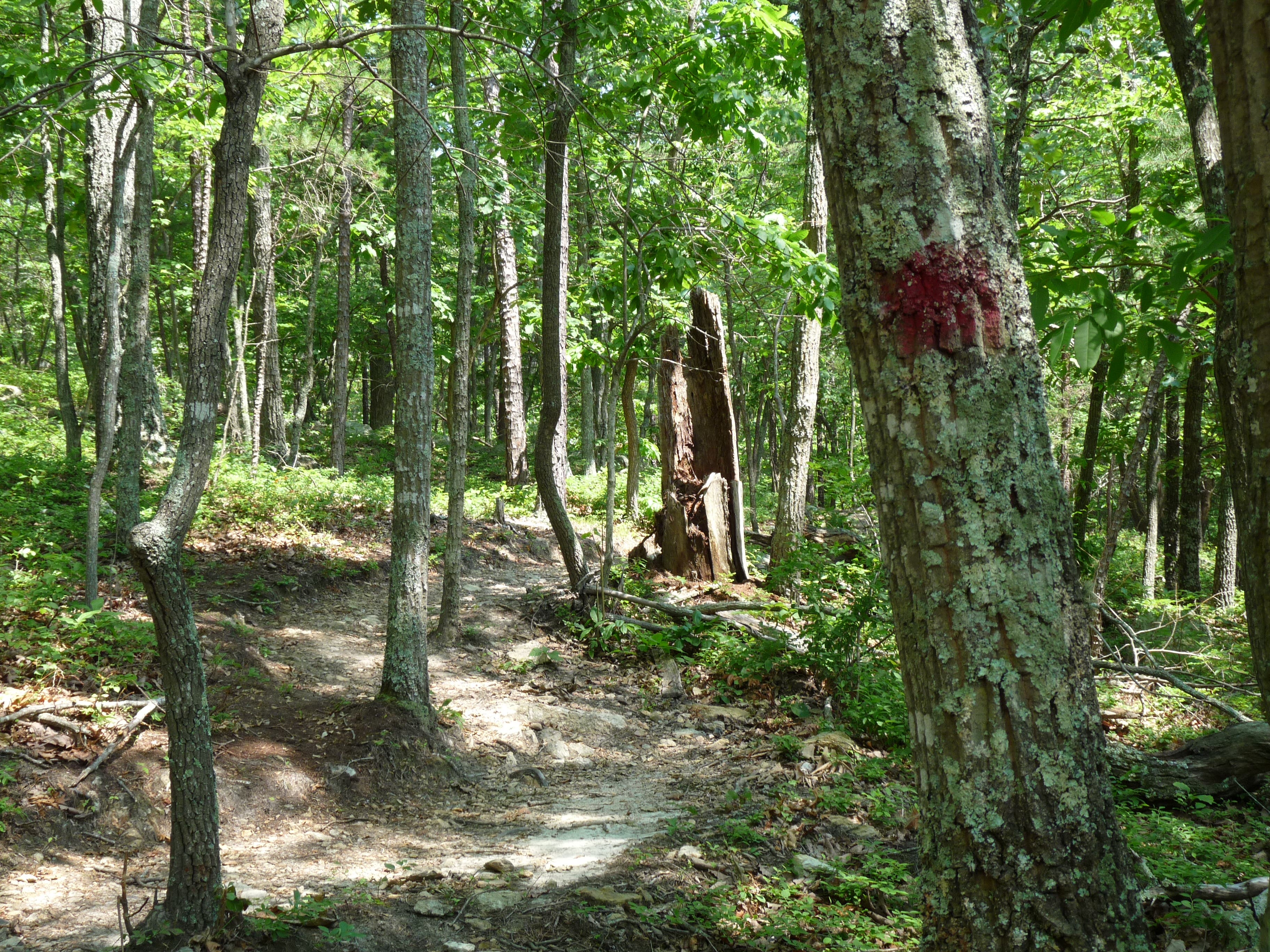
Red paint marks the trail
Location: 36.062994, -79.125155
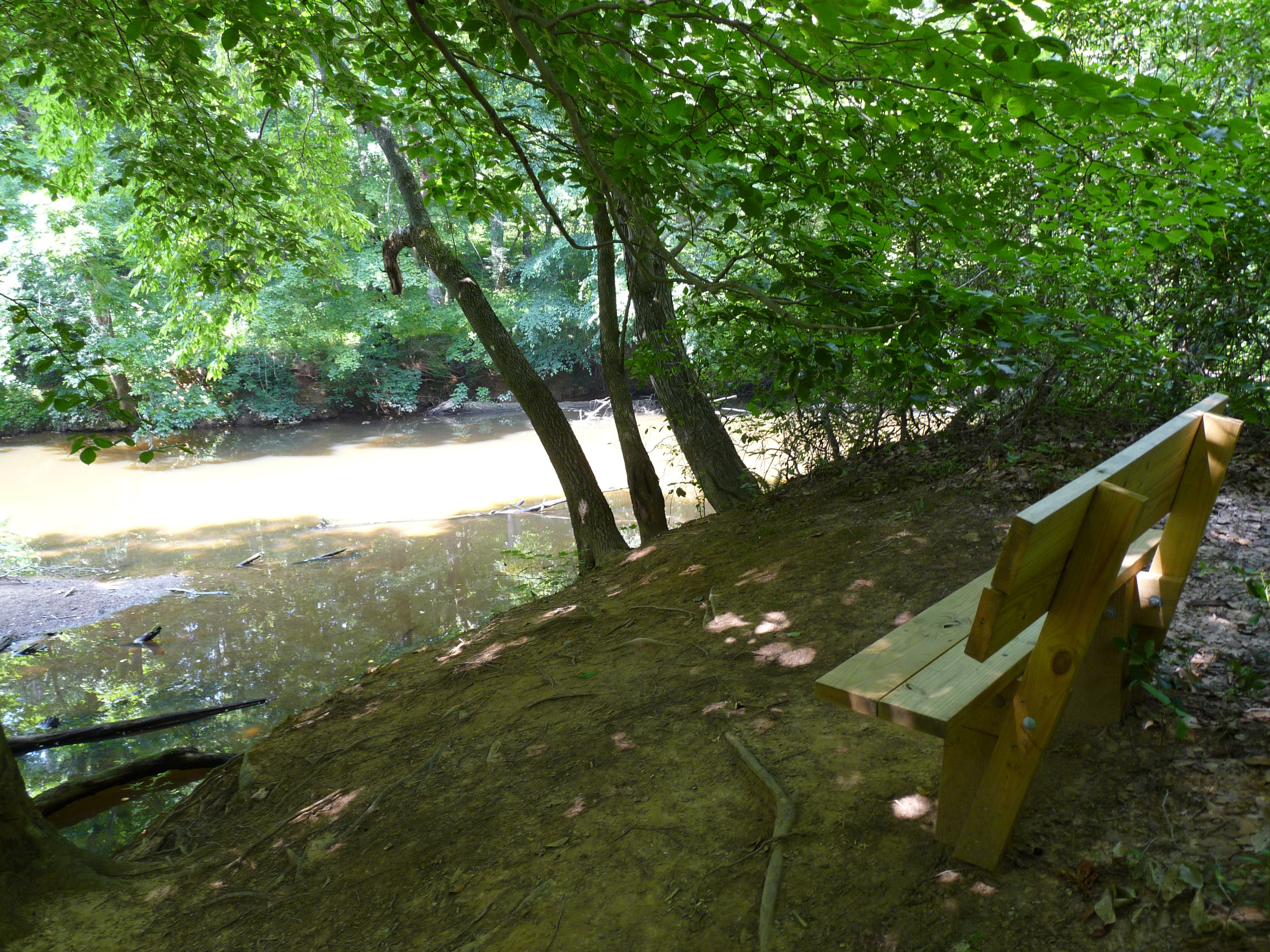
Resting bench with a river view
Location: 36.065145, -79.122151
Trail becomes slim along peak
Location: 36.065076, -79.120263
Breaking off from Eno River
Location: 36.065752, -79.119147
Overlook closed
Location: 36.065076, -79.118139
Gravel path to summit
Location: 36.062283, -79.120413
Heading back
Location: 36.065093, -79.116594
Last stretch of trail
Location: 36.062352, -79.113976