Raleigh-Durham, NC: Buckquarter Creek-Holden's Mill Loop

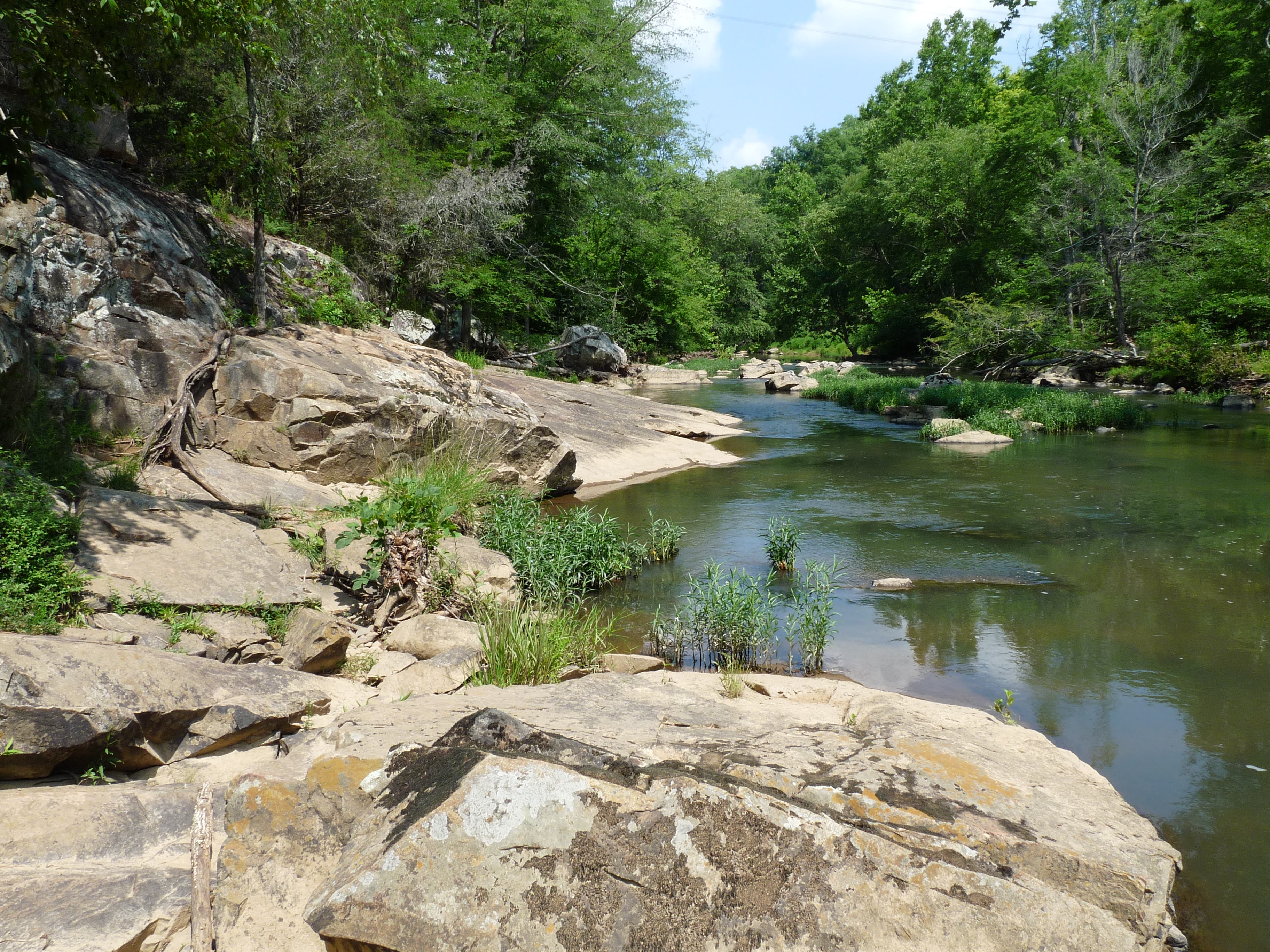
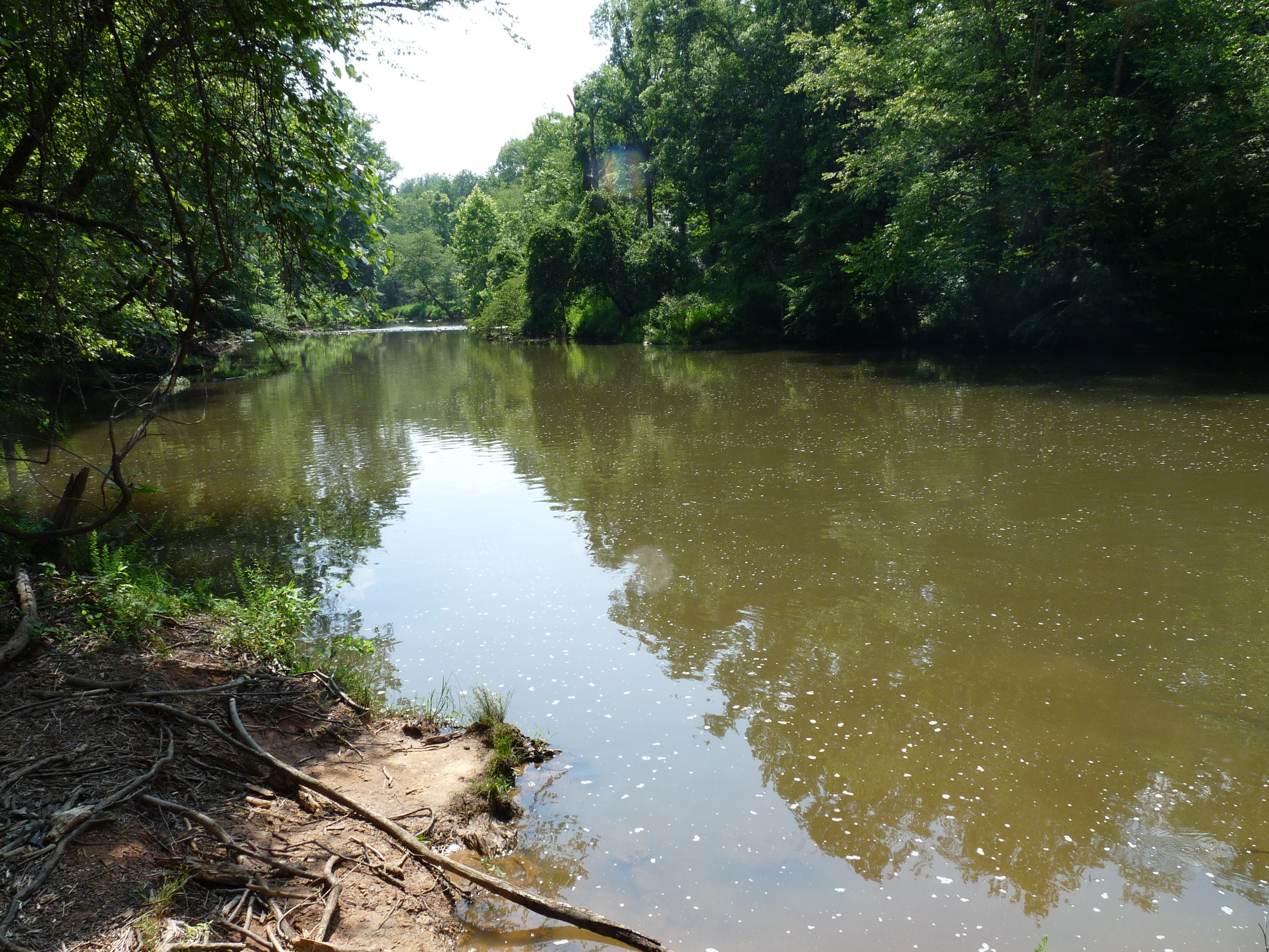
In under 4 miles, get the best of two loops that weave through the Eno River Valley. Enjoy views of the river, watch closely for deer and other mammals drinking from the stream, and finally — scale a ridge to gaze over the entirety of old Holden’s Mill (climb down to explore its remains!). This half-day hike offers the perfect balance of manmade history and natural beauty; ruins certainly don’t ruin the area’s primitive valley charm.
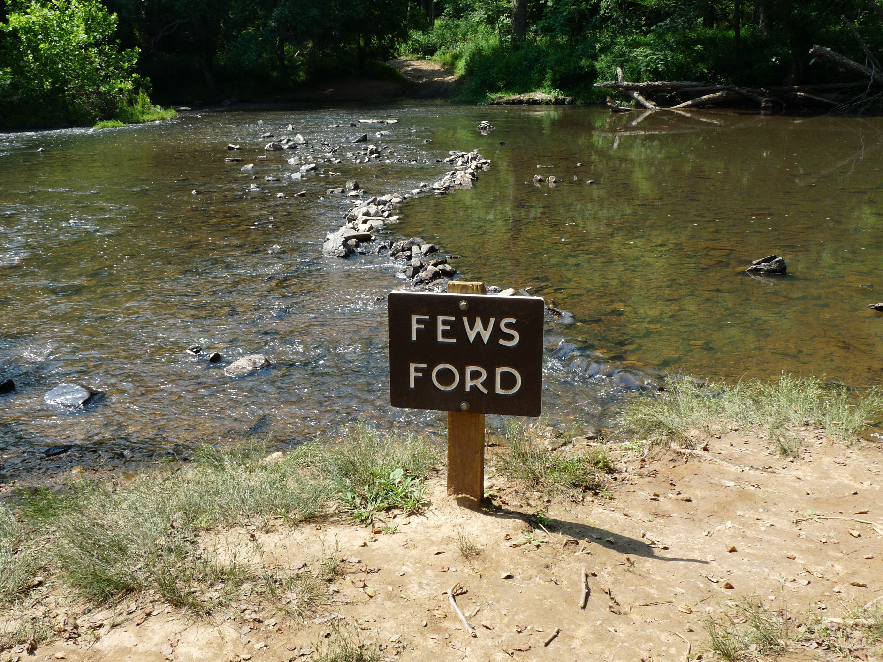
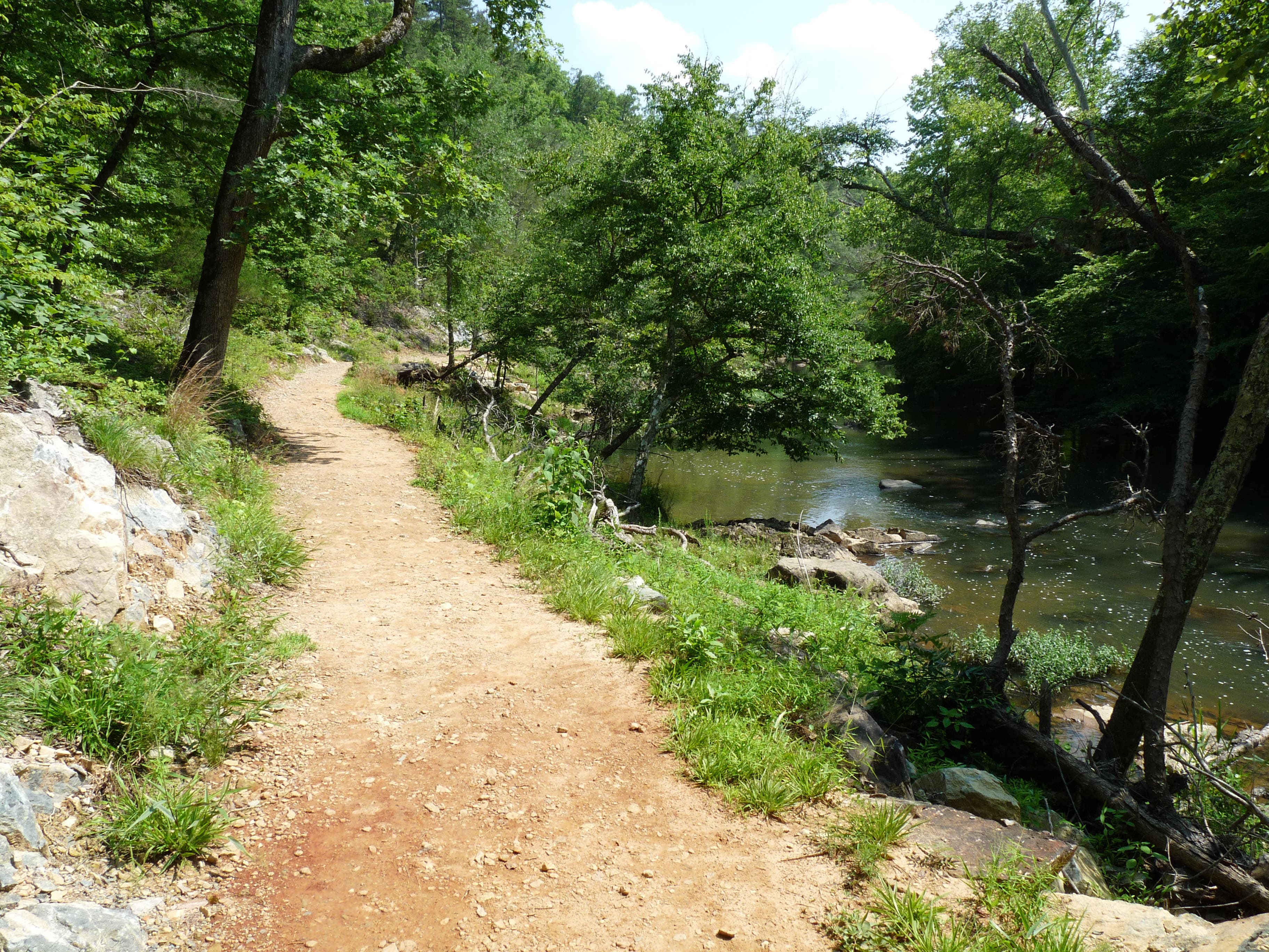
This circuit connects two loop trails that meet at Buckquarter Creek. The hike begins next to the Piper Cox House, and trail maps are available at the trailhead. It is a short walk down to Fews Ford on the river where Buckquarter Creek goes right. Quickly the loop begins. Going right takes you up on a hill above the river, where the trail meets a Y. Stay left to reach the farthest point of the loop. Here, you can either continue for a shorter loop, or cross the bridge over Buckquarter Creek to add in the Holden’s Mill Trail.
The loop for Holden’s Mill begins immediately after crossing the bridge. Turn right to come back along the river. The trail then begins a long, but not-too-steep climb up a ridge to the top of a hill above the Eno. Unfortunately, at least in the summer, there are no views, although you should keep an eye out for deer hightailing along the river. The trail emerges in a power line cut that provides some views, then descends to a small creek.
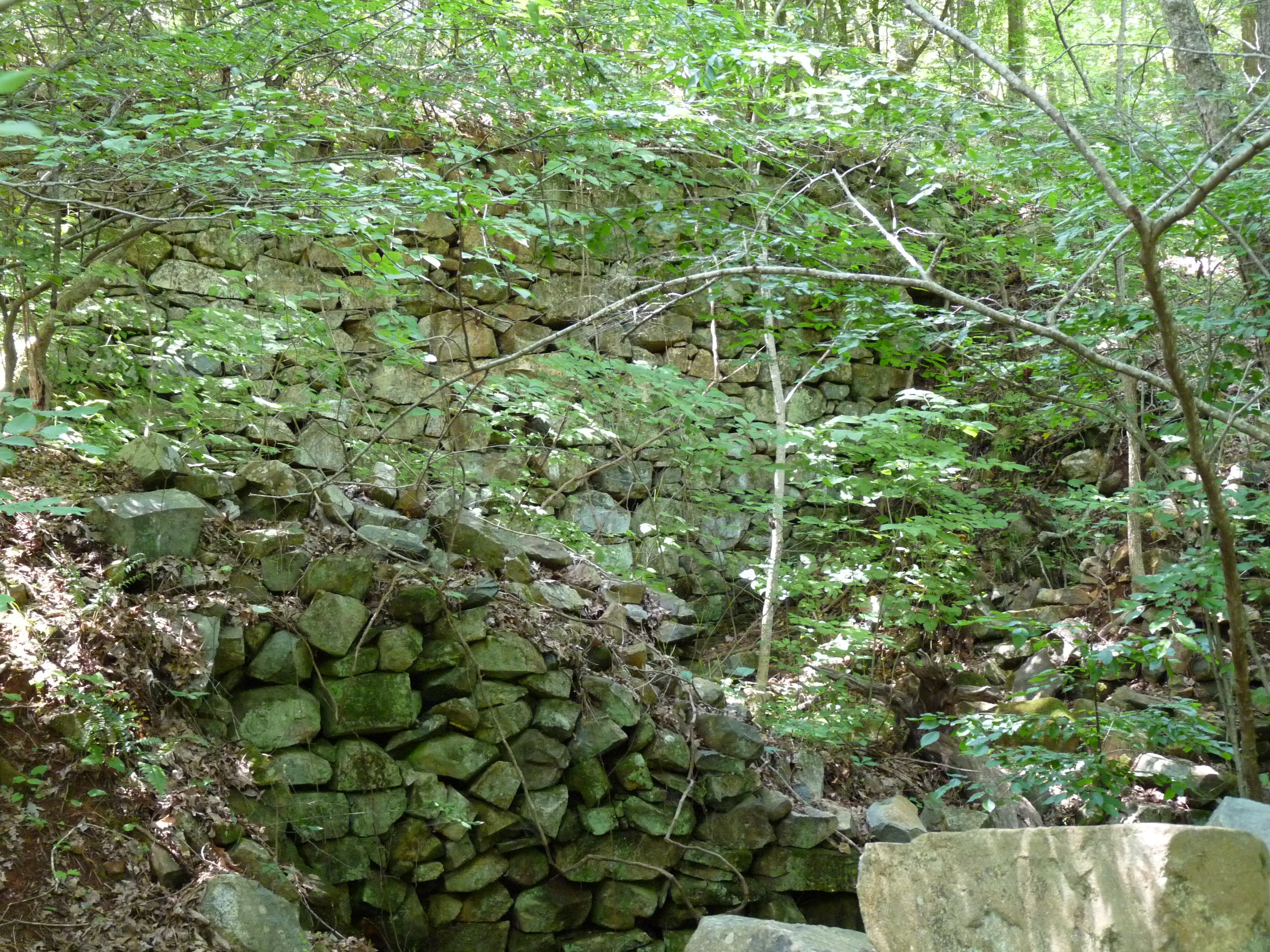
At this creek, cross for a quick loop out to the ruins of Holden’s Mill. The trail splits for another loop, and again, go right. It rises up a small hill and then looks down on the mill. There are three large stone walls visible, which seem to have been the mill and the water wheel canal. Also visible down next to the river are the remains of a dam. Continue along the trail and it will drop you down to the river, along which you will hike all the way back to your car.
The lower side of the loop takes you to the remains of the dam. The trail down here is sometimes hard to distinguish as it climbs over boulders, and even where it is obvious, it is narrower and a little more overgrown with grasses. However, if you just stay along the river, you’re sure not to get lost. At the point where it seems like the trail goes down the mill canal, stay right to walk along the river and not in the mill canal. This trail will eventually take you right up to the ruins where you can explore them if you want.
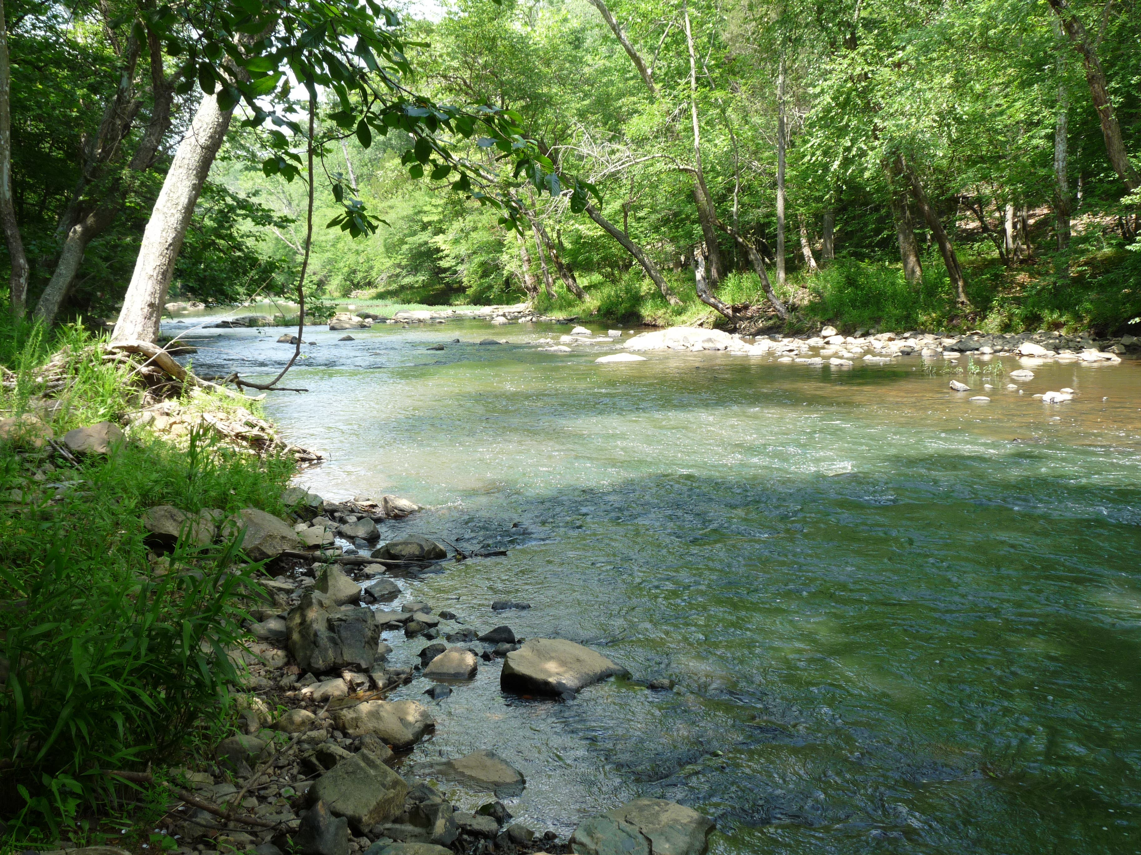
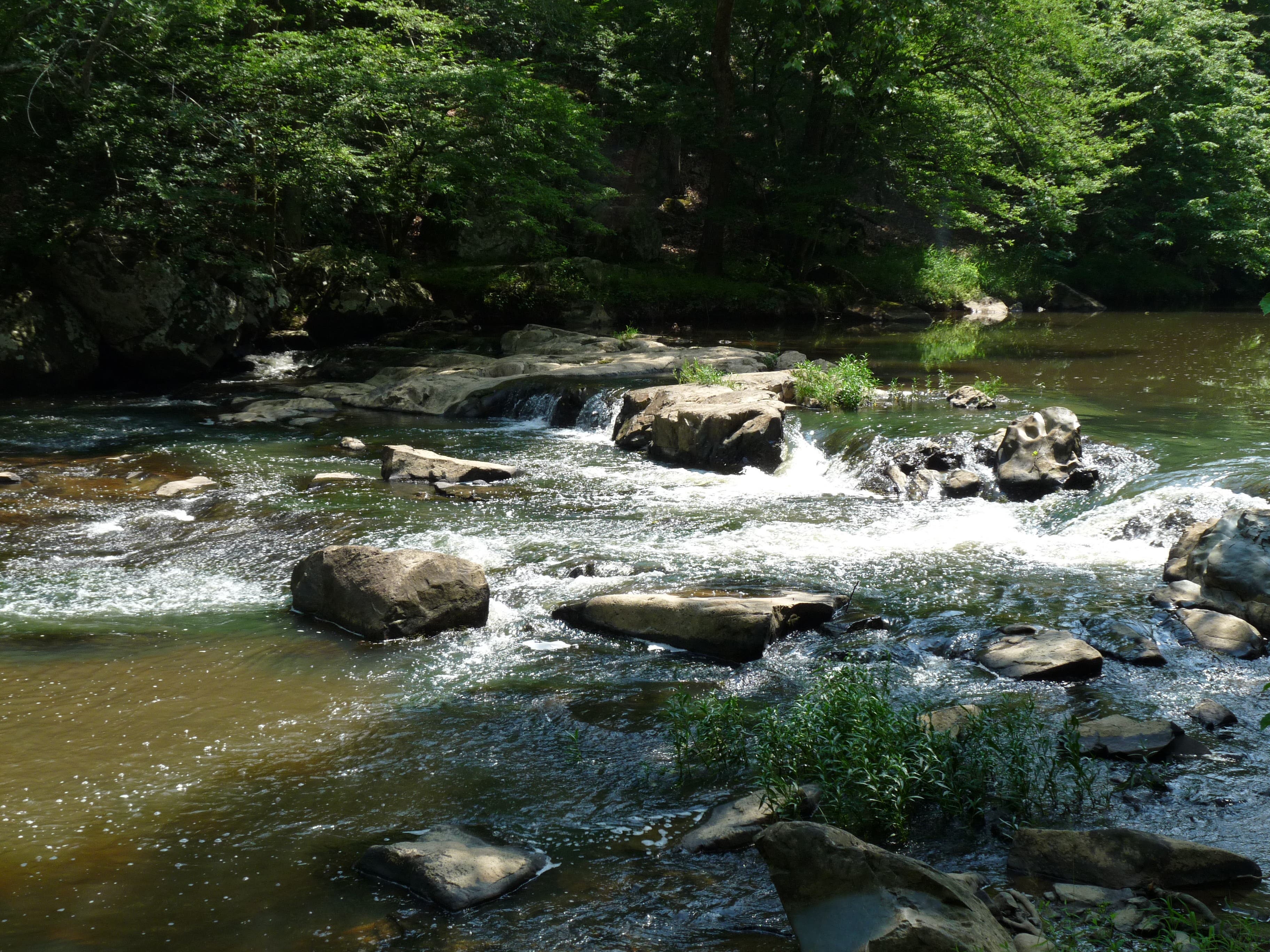
Continue along the river in a section with lots of boulders that seems to resemble rivers in New England. The trail returns to the small creek where you should go right to finish the Holden’s Mill Loop. It continues over large boulders, crosses under power lines, then turns up Buckquarter Creek to cross back over the bridge to return to Buckquarter Creek Trail (go right to finish the loop), which follows the river.
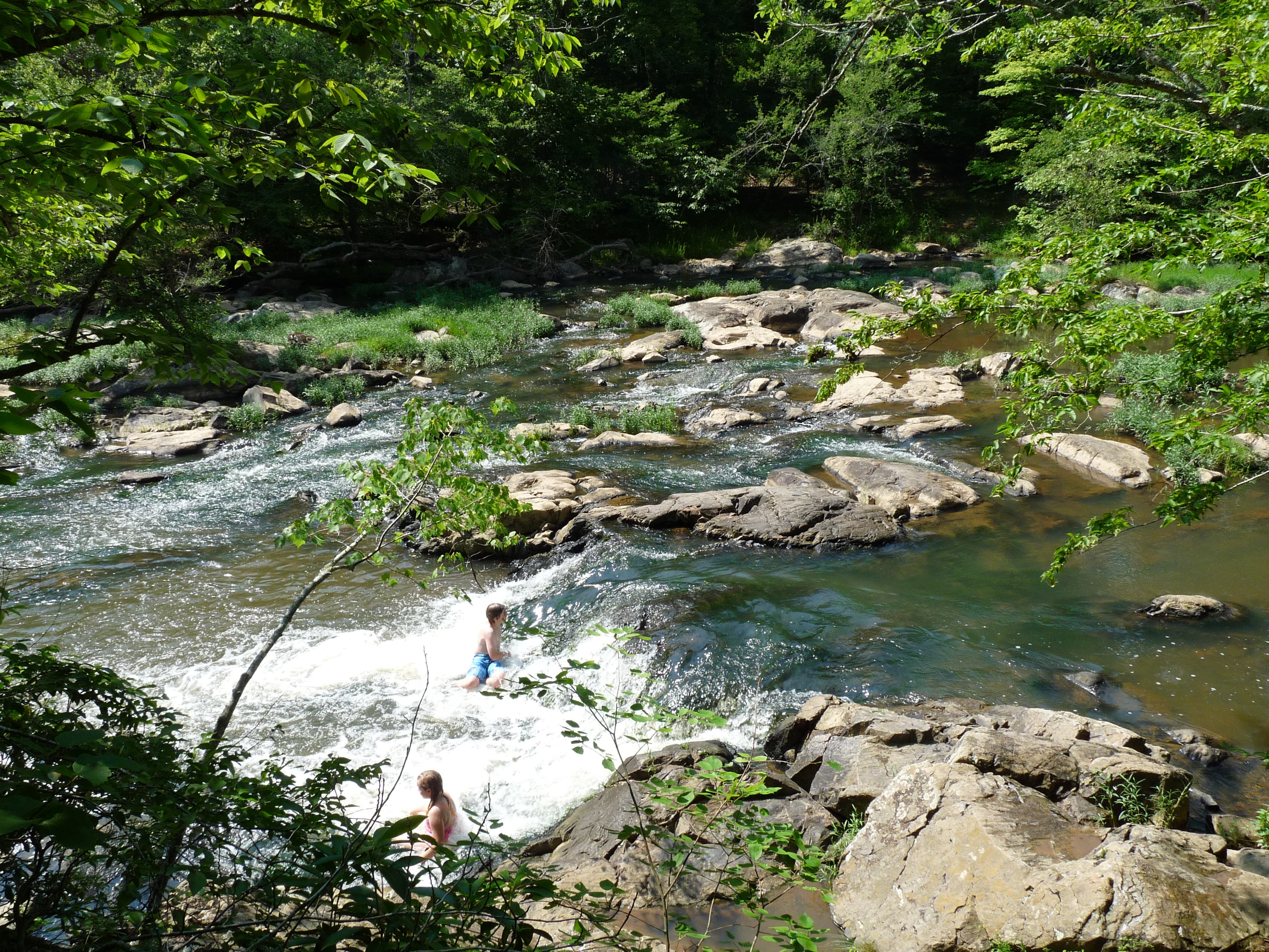
The trail here is exposed and can get quite hot on a sunny summer day, so keep refilling your water bottles in the rivers along the way. And enjoy the scenic last stretch: climbing over stone stairs, the trail rises above the river, walks along a beautiful cascade, and over wooden stairs before returning to Fews Ford, from where it is a short walk to your car.
MORE PARK INFO: Eno River State Park, (919) 383-1686; ncparks.gov/Visit/parks/enri/activities.php
-Mapped by John Thomas
Trail Facts
- Distance: 6.3
Waypoints
BUC001
Location: 36.079176, -79.007181
The trail begins on the right when you get to Fews Ford, a ford across the Eno.
BUC002
Location: 36.079159, -79.006913
The loop trail begins here. Go right to save the river scenery for the return trip.
BUC003
Location: 36.079141, -79.006666
An unnamed trail climbs some stairs on the right. Stay left on the Buckquarter Creek Trail
BUC004
Location: 36.081795, -79.004391
The trail descends steps and then ascends some more on the other side of the ravine
BUC005
Location: 36.083806, -79.004778
The trail joins a gravel double track. Follow the sign and stay left.
BUC006
Location: 36.085367, -79.005829
At the Y, stay left on Buckquarter Creek Trail. The Ridge Trail breaks off to the right.
BUC007
Location: 36.085662, -79.007932
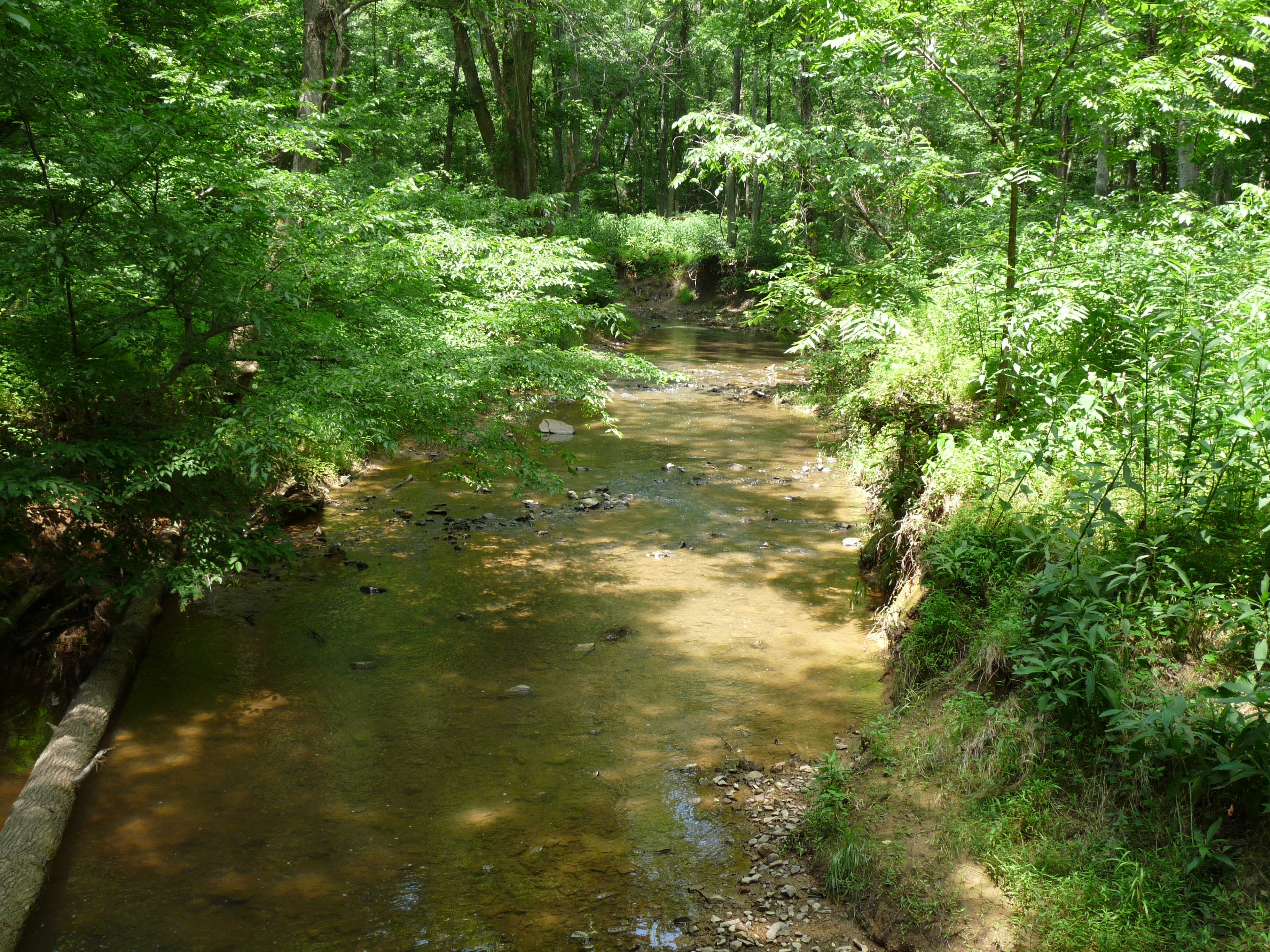
The trail comes to Buckquarter Creek here and turns left to parallel it.
BUC008
Location: 36.085384, -79.008125
A bridge crosses Buckquarter Creek connecting that trail with Holden’s Mill Trail on the other side. To just do the Buckquarter Creek Loop, continue onward without crossing the bridge. To do the whole circuit, cross the bridge. Holden’s Mill loop begins immediately after crossing. Go right to save the best views for the return trip. You will eventually return to this bridge, after doing Holden’s Mill, and you should turn right to finish the circuit.
BUC009
Location: 36.088922, -79.01733
The trail crosses power lines here.
BUC010
Location: 36.086234, -79.020742
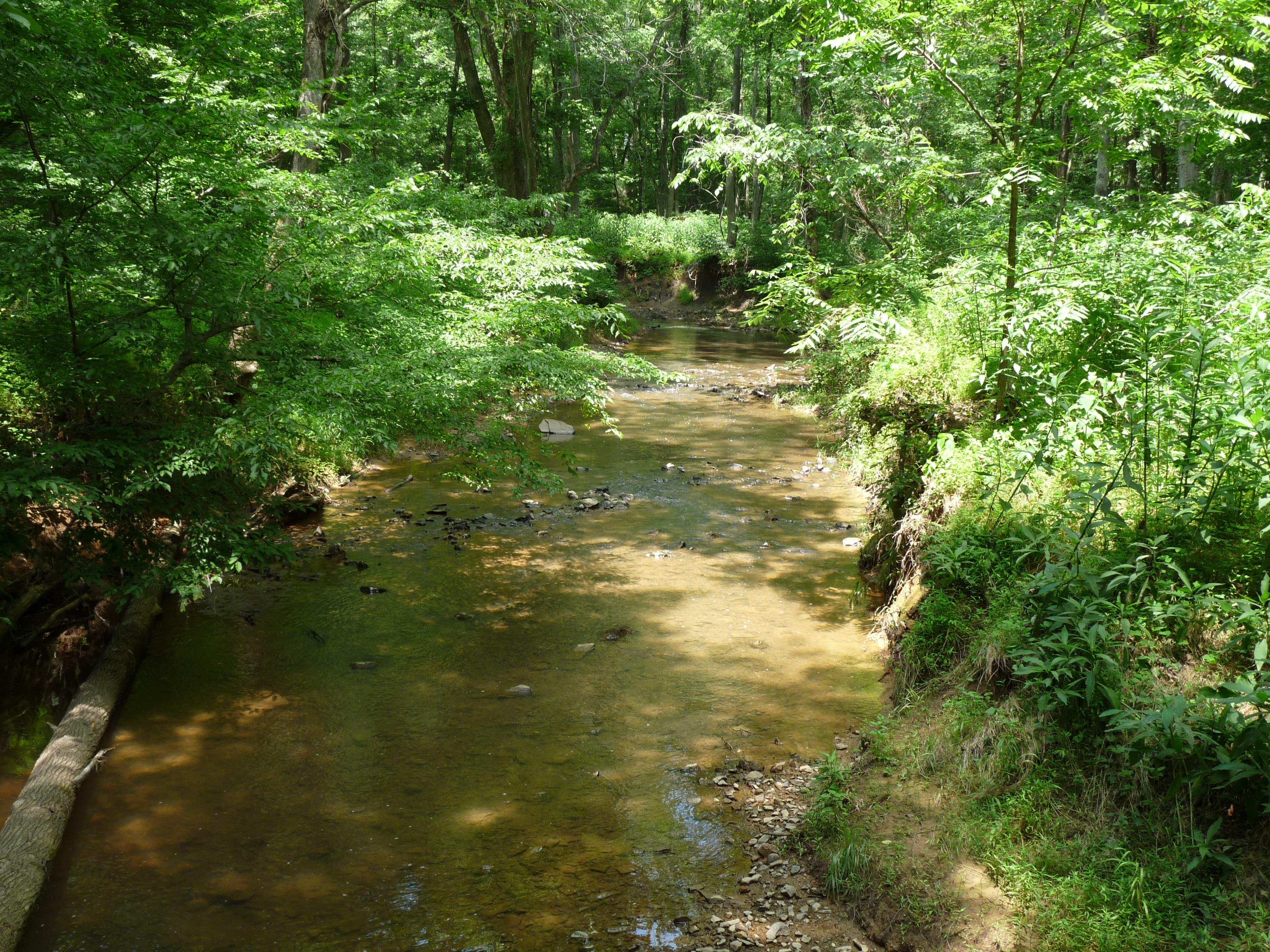
The trail meets a small creek here. You can either avoid the creek and continue on the current loop for a shorter hike. Or, you can cross the small creek to do the full circuit and see Holden’s Mill
BUC011
Location: 36.084552, -79.021322
The loop to and around the mill begins here. Go right to keep the river for the return trip.
BUC012
Location: 36.084014, -79.021729
The ruins of Holden’s Mill are below. It looks like you can see the mill and the old canal used to turn the water wheel.
BUC013
Location: 36.083165, -79.021643
The trail appears to take you into the canal that feeds the mill. Instead, go right over the old dam and walk along the river bank.
BUC014
Location: 36.083997, -79.021354
The trail goes by the mill again.
BUC015
Location: 36.086876, -79.018167
The trail climbs over several boulders in this area. The trail isn’t always obvious in this area, but common sense should keep you from getting lost. As long as you’re next to the river, you’re good.
BUC016
Location: 36.086737, -79.016966
Power lines go over the river.
BUC017
Location: 36.080581, -79.005507
Buckquarter Creek Trail walks along a trail on the hillside above the Eno over a series of stone steps.
BUC018
Location: 36.080199, -79.005958
At a truly beautiful part of the river with small waterfalls, swirling pools, and a long and wide cascade, the trail climbs a wooden staircase.
Fews Ford
Location: 36.079124, -79.007202
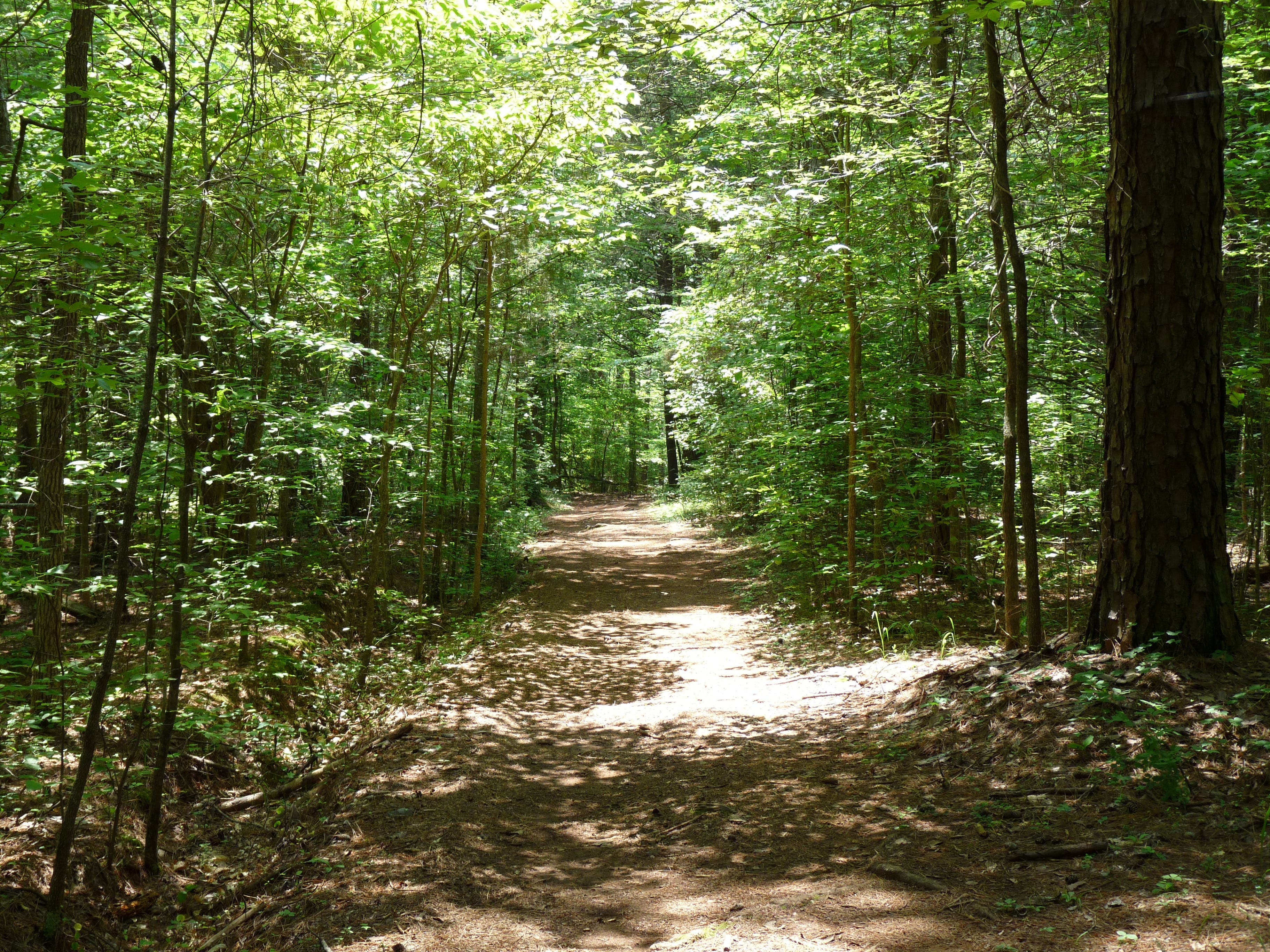
A wide portion of trail
Location: 36.084118, -79.005121
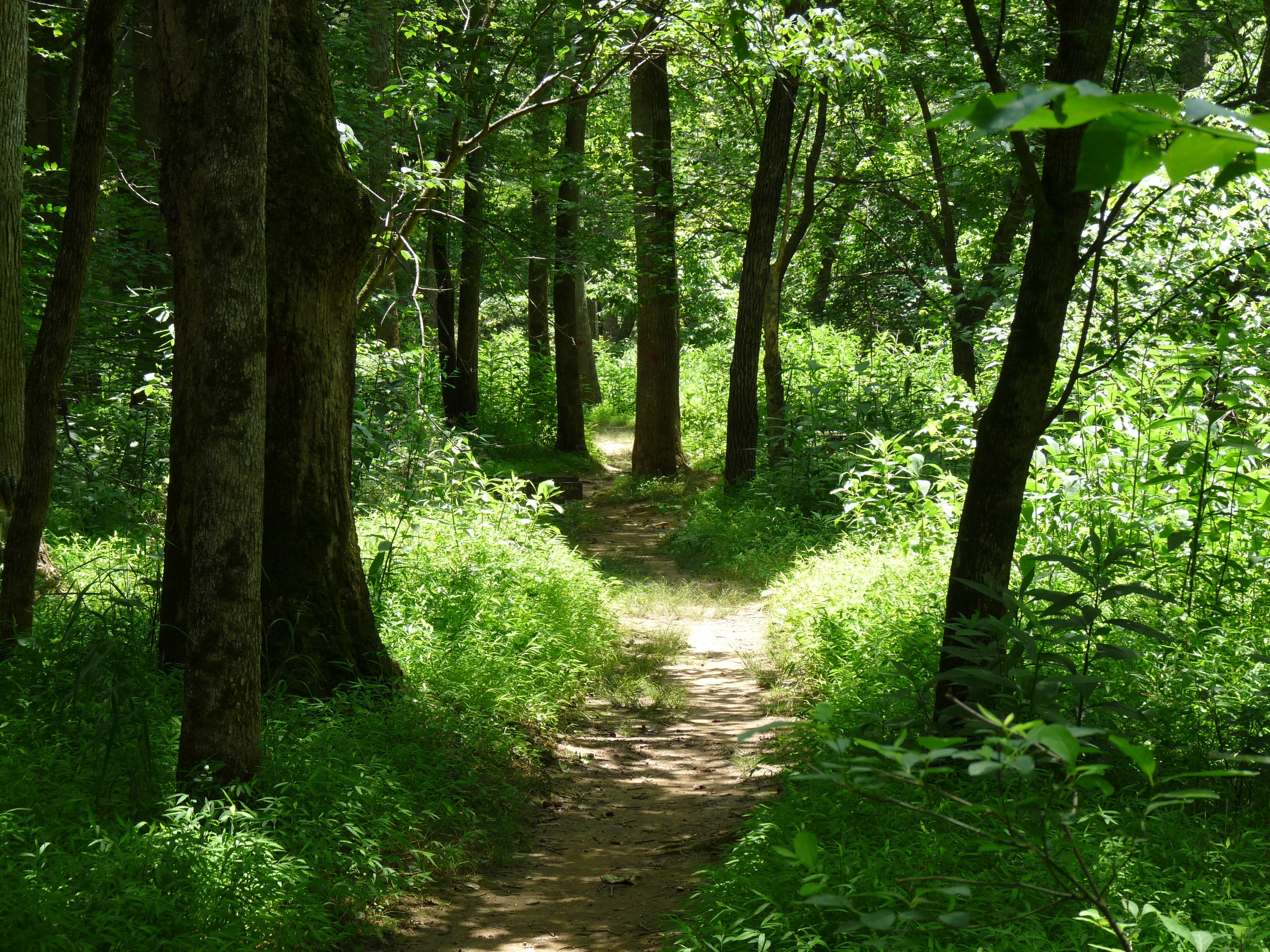
Through the trees of the Eno River Valley
Location: 36.085558, -79.008007
The trail continues
Location: 36.085419, -79.008275
The trail continues
Location: 36.08906, -79.014595
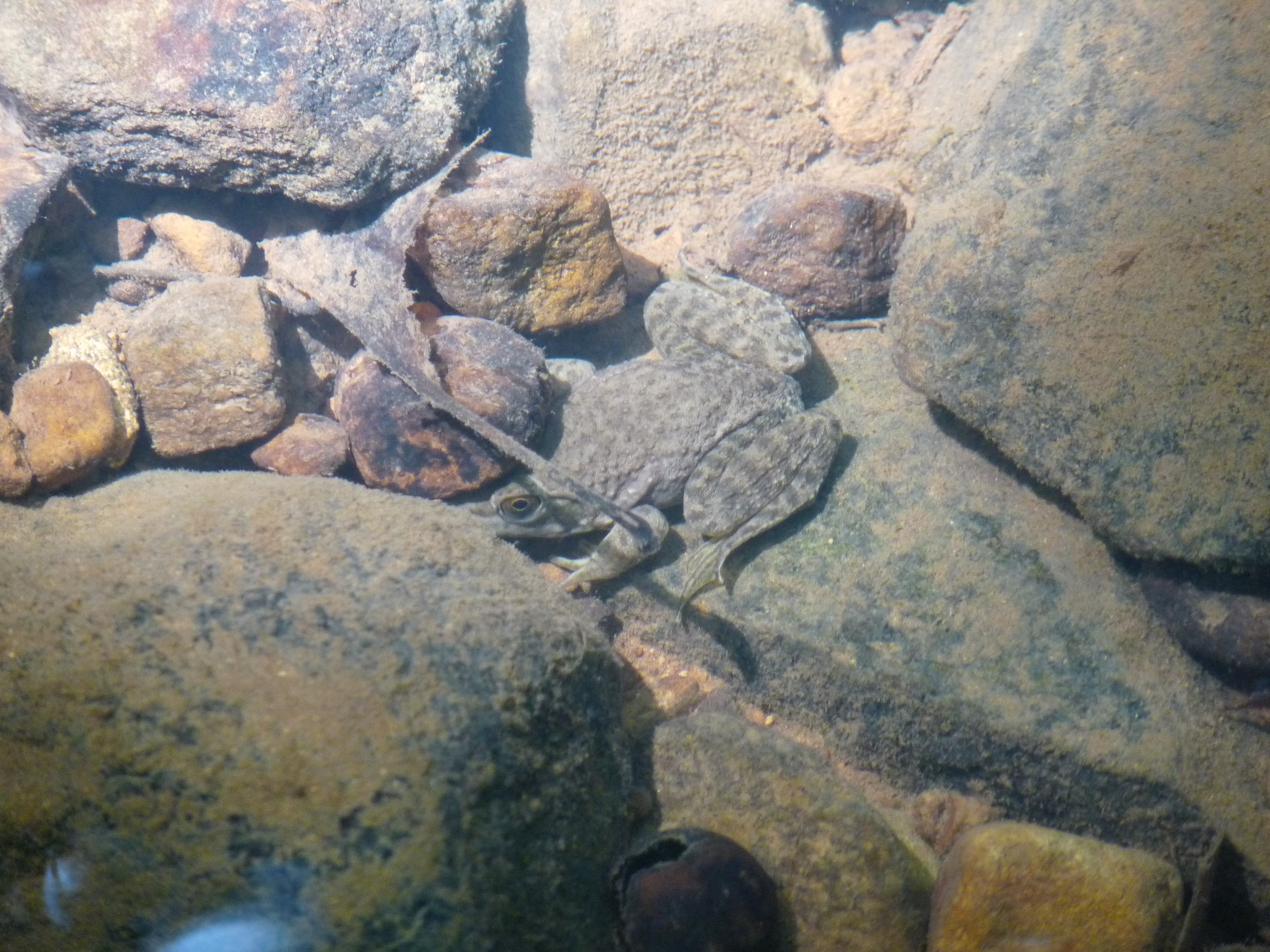
Fossils
Location: 36.086217, -79.020731
The Eno River
Location: 36.08313, -79.021676
Visible wall at the mill
Location: 36.083928, -79.021804
Banks of the Eno River
Location: 36.086806, -79.018028
Small falls
Location: 36.08587, -79.012663
Path along the river
Location: 36.081777, -79.004896
View of the dam
Location: 36.08039, -79.005647
Serene waters
Location: 36.080008, -79.006054