Published September 20, 2013 02:04PM
Providence: Jerimoth Hill
Stroll down a short private drive to find Rhode Island's high point. Once elusive due to watchful landowners, you can now hike it worry-free.


Trail Facts
- Distance: 0.2
Waypoints
PRO001
Location: 41.8510818481445, -71.7791976928711
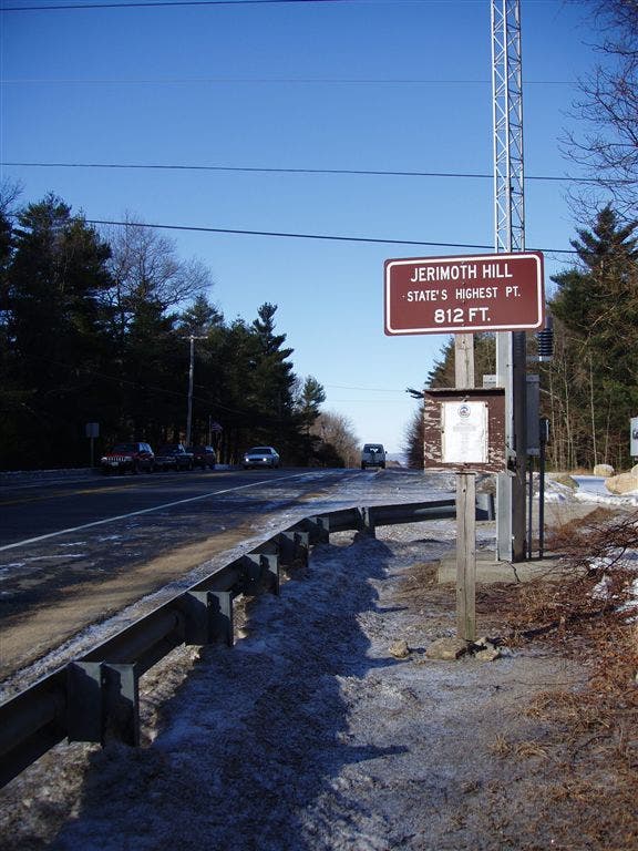
Trailhead: Unofficial high point marked by brown metal sign on N side of road; head S, across RI 101 onto unpaved road to find true, wooded summit. Note: Until recently, few hikers were allowed on private trail; new landowners allow access on weekends from 8 to 3 p.m.
RI alternate HP sign 2
Location: 41.8492698669434, -71.7792816162109
PRO002
Location: 41.849250793457, -71.779296875
Jerimoth Hill summit (812 ft.), marked by small cairn on flat rock.