Portland, OR: Willalatin Ridge

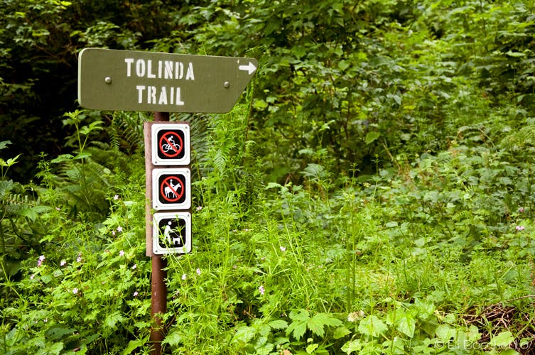
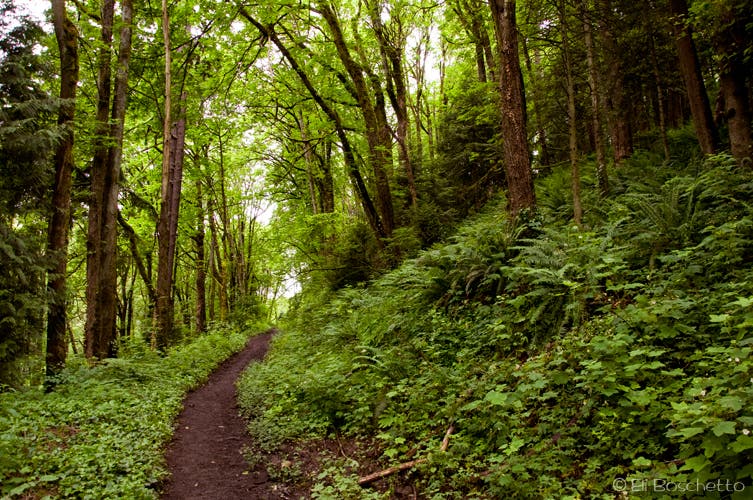
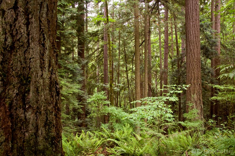
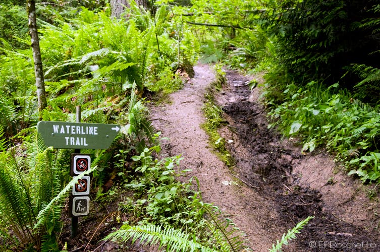
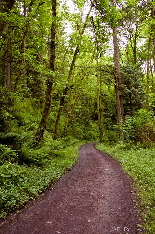
Start the Willalatin Ridge loop by accessing the Tolinda Trailhead at a small parking area off Germantown road. The wide trail doubles back upslope, paralleling the road for a ways, before narrowing to single track and turning west up the ridge. This lonely section of trail climbs up through some of the more enchanting old-growth in the area. After 1.2 miles, the route ends at the Leif Erikson Trail. Take note of this unsigned location for your return. Jog left (S) 10 yards on Leif Erikson to pick up the Waterline Trail and begin a steady climb for the next half mile.
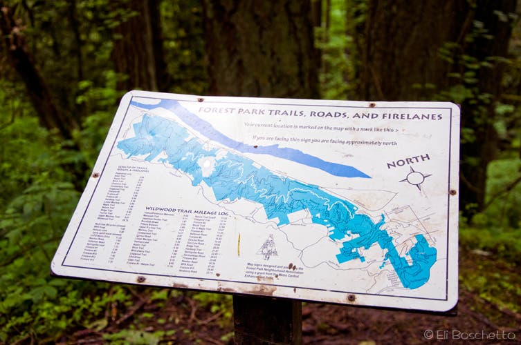
The next junction is with the Wildwood Trail, one of the longer tracks, stretching north/south for the length of the park. Veer left (S), heading downhill on the Wildwood, contouring the hillside amid fir, hemlock, cedar and lush carpets of fern for the next 1.5 mile. Cross several seasonal creeks, and come to the junction with the 165-year old Springville Road trail. Turn left (N) and start a short downhill to another junction with the Leif Erikson Trail. A map board is available for location orientation. Turn left (W) on the wide, level Leif Erikson, keeping a watch out for mountain bikers. As this is one of the few trails in the park that allows bikers, it sees alot of weekend traffic.
After snaking your way on the Leif Erikson for 0.8 miles to complete the loop sections, look out for your previous junction with the Tolinda Trail for your final return—its easily overlooked. The Leif Erikson continues northwest another half mile to Germantown Road (and beyond) and a large parking and trailhead area. This could be an alternate starting/ending location, but misses the quiet solitude and stately old-growth of the lower Tolinda Trail.
More info: Forest Park Conservancy
Mapped by Eli Boschetto Bosco Mountain Photo
Trail Facts
- Distance: 7.0
Waypoints
WIL001
Location: 45.588339, -122.778503
Start the Willalatin Ridge loop at the Tolinda trailhead, just off Germantown Rd.
WIL002
Location: 45.584968, -122.784512
Junction with Leif Erikson trail; turn left (S) for XX yards to junction with Waterline trail on right.
WIL003
Location: 45.584761, -122.784598
Turn right (W) and head uphill on the Waterline trail.
WIL004
Location: 45.583155, -122.79052
Junction with Wildwood trail; turn left (S) and continue on Wildwood.
WIL005
Location: 45.580574, -122.792789
Seasonal creek crossing.
WIL006
Location: 45.576074, -122.791636
Several creek crossings.
WIL007
Location: 45.578479, -122.78542
Junction with Springville Rd; turn left (N), heading downhill on Springville.
WIL008
Location: 45.58294, -122.782819
Junction with Leif Erikson trail; turn left (W) on Erikson to previous junction with Tolinda trail for return. Map board posted for orientation.
Park Trail
Location: 45.588305, -122.778847
Start the Willalatin Ridge loop at the Tolinda Trailhead, off Germantown Rd.
Tolinda Trail
Location: 45.586473, -122.777345
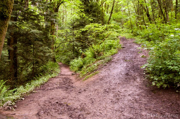
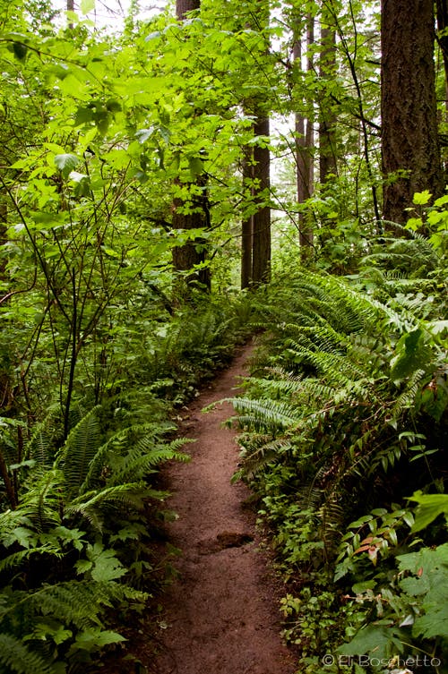
The lesser-used Tolinda Trail connects to the Leif Erikson and Waterline trails to continue the Willalatin Ridge loop.
Forest Park
Location: 45.585062, -122.781959
Surroundings of the Tolinda Trail.
Waterline
Location: 45.584746, -122.784598
Where the Tolinda Trail ends at the Leif Erikson Trail, jog left and continue up the Waterline Trail.
Forest Fork
Location: 45.583275, -122.79037
Divert onto the Wildwood Trail where the Waterline connects.
Wildwood
Location: 45.577973, -122.789168
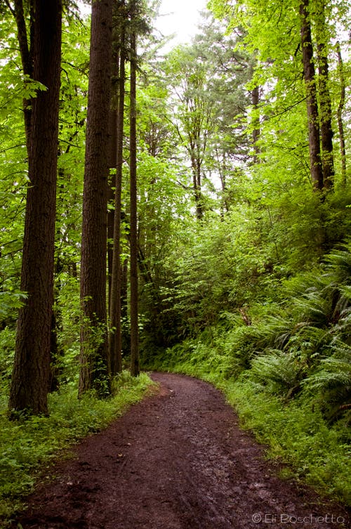
Wander along Forest Park’s Wildwood Trail amid lush trees and fern, for a portion of the Willalatin Loop.
Old Road
Location: 45.57946, -122.785263
Descend the 165-year old Springville Road trail to reconnect with the Leif Erikson Trail.
Park Map
Location: 45.582929, -122.782581
Get your bearings at a map board at the Leif Erikson and Springville Rd. trail junction.
Erikson Road
Location: 45.582554, -122.785671
Complete the Willalatin Ridge loop along the Leif Erikson trail, keeping watch for the unmarked junction with the Tolinda Trail.