Portland, OR: Wildcat Mountain and McIntyre Ridge

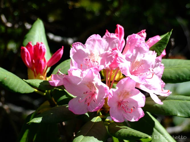
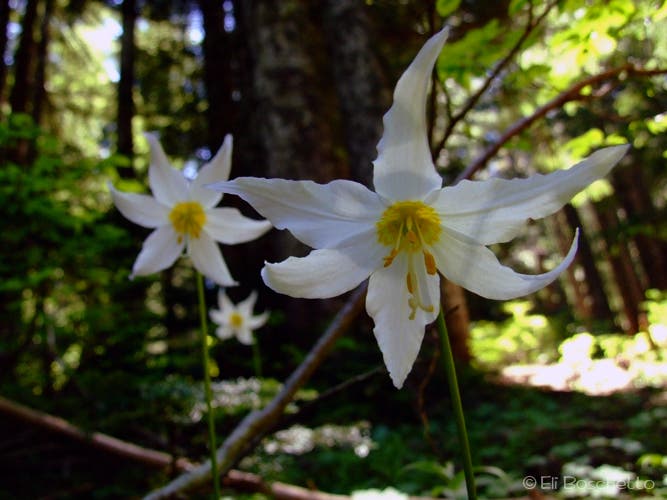
Located less than 20 miles southwest of Mount Hood, Wildcat Mountain’s lush ridgelines offer dramatic views of this iconic peak. This 6.6-mile route starts on the east side of a gravel parking area on NFD 105 and follows sweeping switchbacks to a saddle below Wildcat Mountain. Along the way, hikers will visit a clearing with wide views over Eagle Creek Valley and traverse shady hemlock forest lined with beargrass, bunchberry, mountain rhododendron, and avalanche lily.
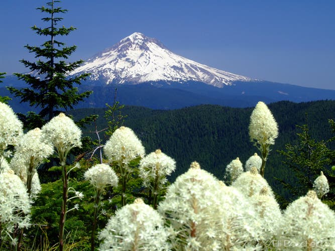
After 1.3 miles, the trail crests the saddle. Turn left at the 3-way junction located here for a 0.8-mile side trip to a small meadow filled with beargrass, paintbrush, and stunning views of Mount Hood. Backtrack to the trail junction and turn left. Continue the gentle climb southeast for another 0.6 mile to a faint, unsigned spur on the right that climbs to Wildcat Mountain’s summit. Follow this short, overgrown path to a small clearing on the summit (once the site of a fire lookout). Peek through the trees to find views of Mounts Hood and Rainier.
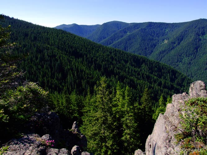
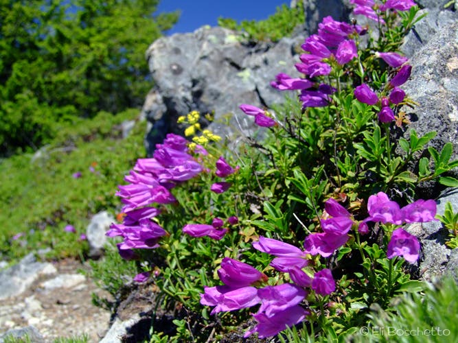
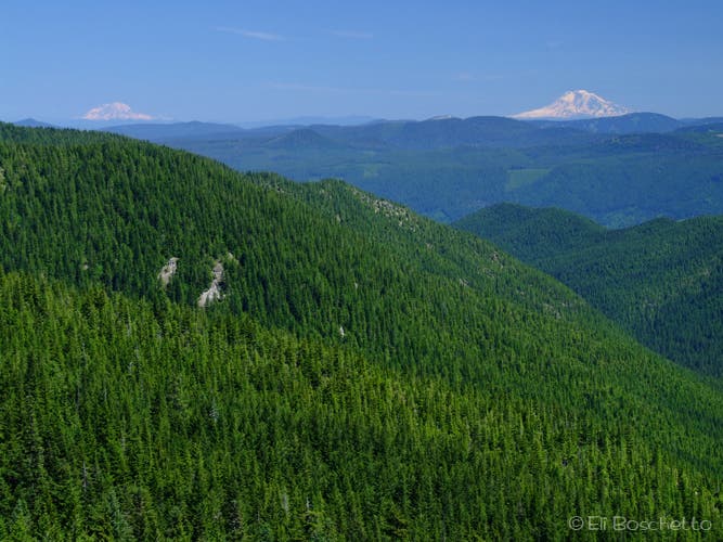
Head back to the main trail and continue southeast another half mile to the rock garden, a narrow, rocky ridgetop covered with spring and summer wildflowers (paintbrush, penstemon, lupine, beargrass, and rhododendron). Several high points offer huge views across Boulder Creek Valley and Eagle Creek to five Cascades volcanoes: St. Helens, Rainier, Adams, Hood, and Jefferson. Take your time to relish the picturesque scene before turning around for the trek back to the trailhead.
MORE INFO: Mount Hood National Forest
-Mapped by Eli Boschetto, Bosco Mountain Photo


Trail Facts
- Distance: 10.6
Waypoints
WCM001
Location: 45.3006033, -122.0651114
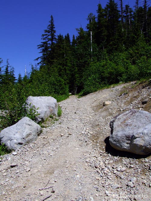
The trailhead is located on the east side of gravel turnaround. The first 1.3 miles of the Wildcat Mountain Trail follow sweeping switchbacks to a saddle northwest of Wildcat Mountain. Beargrass blooms flank the path.
WCM002
Location: 45.2997807, -122.0460999
Turn left (northeast) at the 3-way junction located here for a 0.8-mile side trip to a small meadow filled with beargrass, paintbrush, and stunning views of Mount Hood.
WCM003
Location: 45.3108505, -122.0427632
Take a trail break on a comfy bench surrounded by wildflower meadow and in-your-face views of Mount Hood. Return to Waypoint 2 and turn left.
WCM004
Location: 45.2993167, -122.0456833
Pass a signboard and continue southeast along the ridge.
WCM005
Location: 45.2945355, -122.0413148
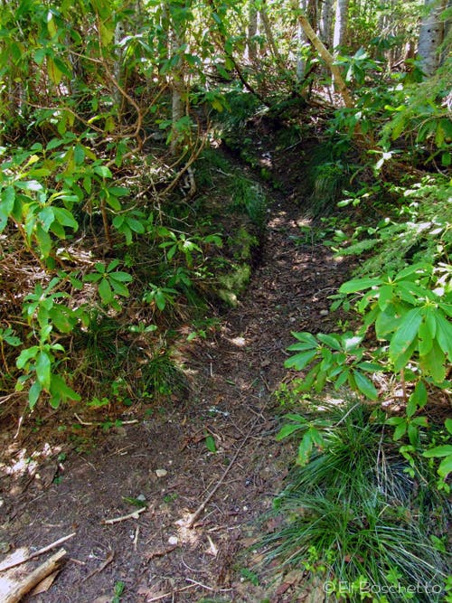
Look for the unsigned and overgrown spur to Wildcat Mountain on the right just before the trail begins to descend.
WCM006
Location: 45.2936834, -122.04155
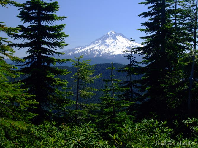
Wildcat Mountain: This 4,480-foot summit was once the site of a fire lookout. Peek through the trees for views of Mounts Hood and Rainier. Return to Waypoint 5 and turn right.
WCM007
Location: 45.2898167, -122.03605
This rocky ridge features a profusion of colorful wildflowers and views of five Cascades volcanoes. Retrace your route back to the trailhead. Optional: For a longer trip, keep heading southeast to the Twin Springs or Wildwood areas.
Mount Hood
Location: 45.3101187, -122.0427418
Mount Hood looming over beargrass meadow near the bench viewpoint. © Eli Boschetto
Wildcat Trailhead
Location: 45.3007316, -122.0647573
Start the trail on the east side of the gravel turnaround. © Eli Boschetto
Eagle Creek
Location: 45.3000675, -122.064178
View across the valley before heading uphill through forest. © Eli Boschetto
Beargrass
Location: 45.3015466, -122.0613241
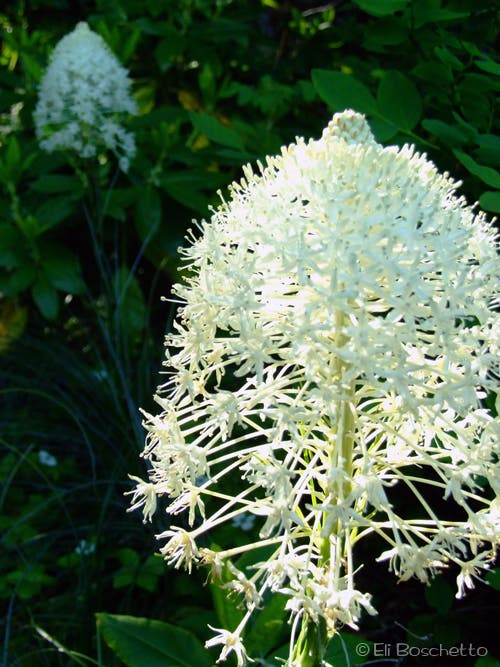
Beargrass blooms are frequent along the Wildcat Mountain Trail. © Eli Boschetto
Mountain Rhododendron
Location: 45.3021503, -122.0576334
Mountain rhododendron is a prolific summer bloom along the Wildcat Mountain Trail. © Eli Boschetto
Bunchberry
Location: 45.301939, -122.0499086
Small white flowers found in shady forest, often crowded around the trunks of trees. © Eli Boschetto
Bench View
Location: 45.3108732, -122.0423985
Perfect spot for a trail break. Enjoy the view surrounded by blooming beargrass, paintbrush and penstemon. © Eli Boschetto
Avalanche Lily
Location: 45.2986487, -122.0450592
Small patches of avalanche lily. © Eli Boschetto
Summit Spur
Location: 45.2945431, -122.0411646
Short, overgrown spur to the summit of Wildcat Mountain. © Eli Boschetto
Mount Hood View
Location: 45.2936978, -122.0414329
Mount Hood from the summit of Wildcat Mountain. © Eli Boschetto
Rock Garden
Location: 45.2901051, -122.0369375
Large patches of penstemon join paintbrush and lupine on this section of rocky ridge. © Eli Boschetto
Mountain View
Location: 45.2898032, -122.0356607
View of Mounts Rainier and Adams over Beaver Creek Valley. © Eli Boschetto