Portland, OR: Twin Lakes

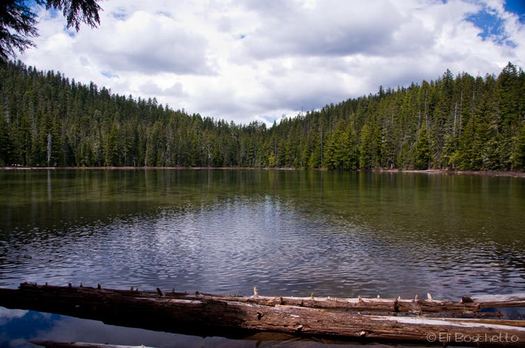
From the left side of the Frog Lake Snowpark parking area, just off Hwy 26, find the trailhead and short connector to the Pacific Crest Trail. At the junction, continue straight ahead (E) for 1.4 miles on a gentle upward slope along a pleasant section of PCT among hemlock and fir forest. About half way to the lakes junction, the east-trending PCT takes a sharp northward turn. At the Twin Lakes junction, turn right (E) and start a 0.75 mile descent to the lower of the Twin Lakes. A quick spur to the right deposits you at the northeast corner of the lake. Around the lower lake, you’ll find numerous campsites, a 1-mile trail that circles the lake, and an access trail to the Frog Lake Buttes.
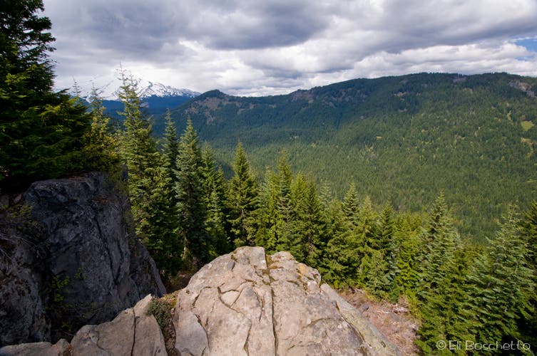
Leaving the Lower Twin Lake, continue on the main trail, gradually gaining in elevation. For the next 0.75 mile, the trail does a couple of switchbacks, before leveling again and arrives at the southeast corner of the Upper Twin Lake, backed by Bird Butte, with Mt. Hood’s summit peeking above the trees. A half-mile trail circles the upper lake, however no established campsites are available. This point makes a 5.6 mile out-and-back, not counting the lake loops. For a longer loop, with more views of Mt. Hood and Barlow Creek Valley, continue northward, veering right (NE) onto the Palmateer Trail on the upper lake’s east side. After another short climb, you are now along the ridge above Barlow Creek Valley. About a half-mile from the fork, look for a short spur off to the right to a viewpoint on a rock outcrop. The 180º panorama sports a nice view of Mt. Hood and the Barlow Creek Valley 1,000′ below.
Continue northward, passing a connector to the PCT, then a small meadow, and start a gentle descent to the crossing over Palmateer Creek. Passing another small meadow, come to a T-junction with a post, but no sign. To the right is a 0.3 mile path to the top of Palmateer Point, to the left the trail turns westward for its reconnection with the PCT. After checking out the Point, or not, continue another mile on the Palmateer Trail, passing a couple of unsigned side trails to meet up with the PCT again. Here, turn left (S) for the easy, 4 mile stroll back down the PCT to your starting point.
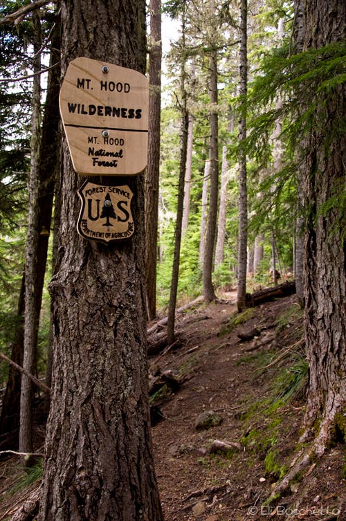
More info: Mt. Hood National Forest
Mapped by Eli Boschetto Bosco Mountain Photo
Trail Facts
- Distance: 13.3
Waypoints
TWN001
Location: 45.229245, -121.699692
Twin Lakes trailhead at Frog Lake Snowpark.
TWN002
Location: 45.230049, -121.698686
Junction with PCT; continue straight (NE), following sign to Barlow Pass.
TWN003
Location: 45.237056, -121.686468
Twin Lakes trail junction; turn right (E).
TWN004
Location: 45.239975, -121.677746
Spur trail to lower Twin Lakes.
TWL005
Location: 45.239521, -121.678417
Lower of the Twin Lakes. Several campsites around northern shore. A one mile trail circles the lake.
TWN006
Location: 45.244851, -121.676691
Upper Twin Lakes. A faint half-mile trail circles the lake.
TWN007
Location: 45.245566, -121.676075
Trail fork; veer right (NE) uphill on the Palmateer Trail.
TWN008
Location: 45.2509, -121.67398
Look for a short spur on the right to a rock outcrop with views of Mt. Hood and Barlow Creek Valley.
TWN009
Location: 45.254385, -121.676624
Trail junction. Left reconnects with PCT; continue straight (N) on Palmateer Trail.
TWN010
Location: 45.257692, -121.679126
Pocket meadow.
TWN011
Location: 45.258384, -121.68031
Palmateer Creek crossing.
TWN012
Location: 45.259422, -121.680307
Unsigned junction; turn left (NW) to continue. Right fork climbs 0.3 mile to Palmateer Point.
TWN013
Location: 45.263058, -121.68928
Trail fork; turn right (NW) to continue. Left fork dead ends in forest after half mile.
TWN014
Location: 45.264094, -121.690814
Junction with PCT; turn left (S).
TWN015
Location: 45.257086, -121.692156
Trail junction; upper access to Palmateer Trail. Continue straight (S) to Twin Lakes junction, then finish by previous route.
Pacific Crest Trail
Location: 45.230506, -121.697359
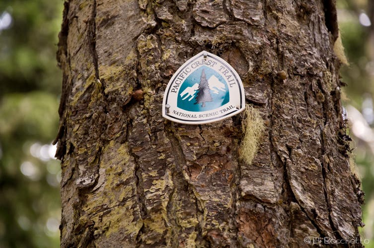
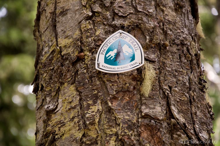
The Twin Lakes trail is accessed by hiking the PCT between Frog Lake and Barlow Pass.
Hood Forest
Location: 45.231231, -121.69178
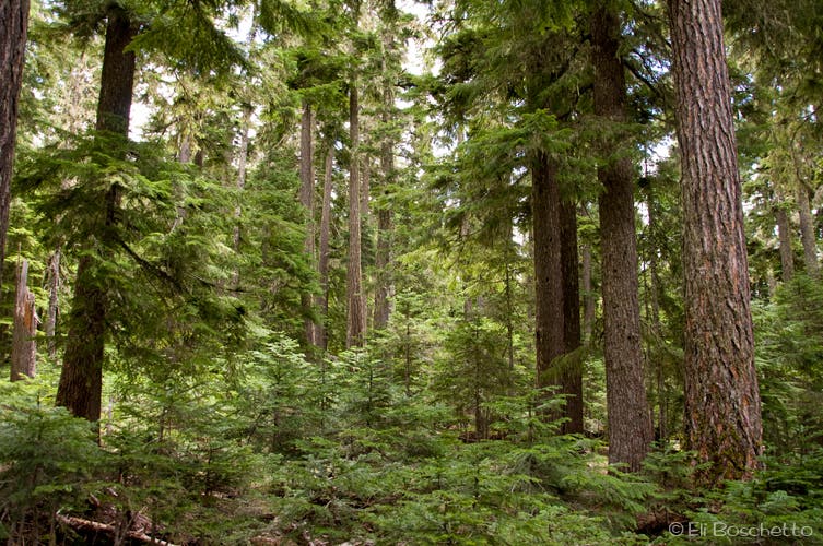
Recovering fir and hemlock dominate this section of Mt. Hood’s forest.
Lakes Trail
Location: 45.237003, -121.685858
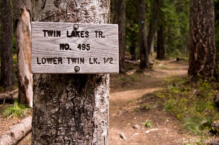
The Twin Lakes trail branches off the PCT 1.4 miles from the Frog Lake trailhead.
Lower Twin Lake
Location: 45.239149, -121.67809
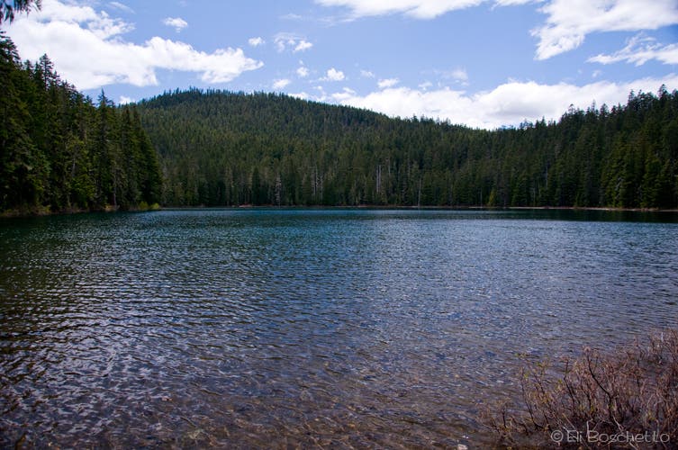
Lower Twin Lake offer several campsites, a one-mile trail around the lake, and access to the Frog Lake Buttes.
U-Turn
Location: 45.241143, -121.673884
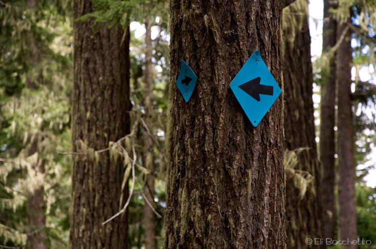
Blue diamond blazes mark the route along this section of trail; these arrows indicate a switchback u-turn.
Upper Twin Lake
Location: 45.24489, -121.677446
The smaller of the Twin Lakes, a half-mile trail circles the lake.
Palmateer Trail
Location: 45.246582, -121.674099
Climbing away from Upper Twin Lake, the Palmateer Trail contours the ridge above Palmateer Meadows and Barlow Creek.
Big View
Location: 45.250842, -121.673841
A short spur to a rock outcrop offers views of Mt. Hood, Palmateer Meadows, and Barlow Creek Valley.
Low Bridge
Location: 45.25619, -121.676974
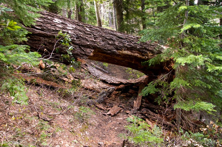
Large fir tree fallen across the Palmateer Trail.
Pacific Crest Trail
Location: 45.251567, -121.687446
The return trip on the PCT is a gradual descent along the back side of Bird Butte.