Portland, OR: Tooth Rock & Wauna Viewpoint

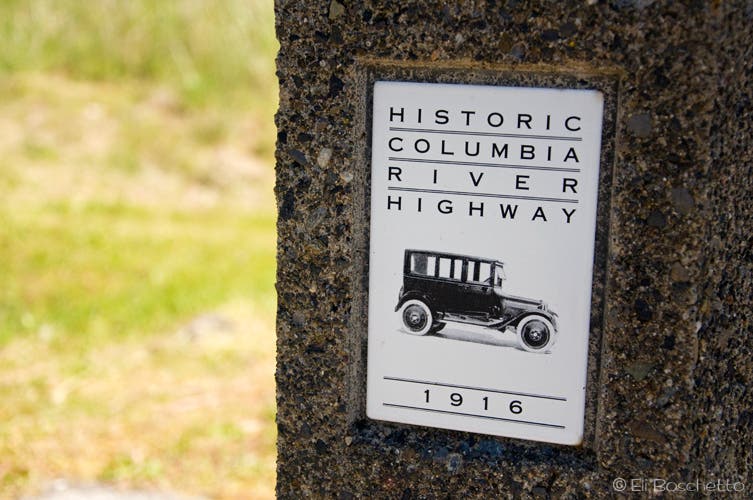
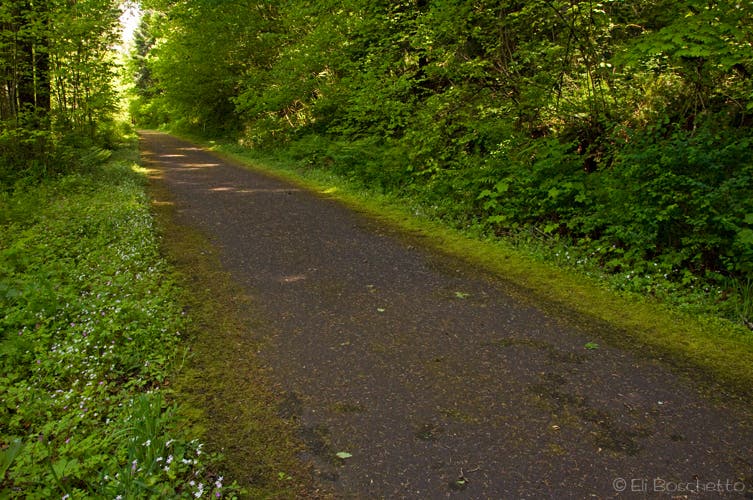
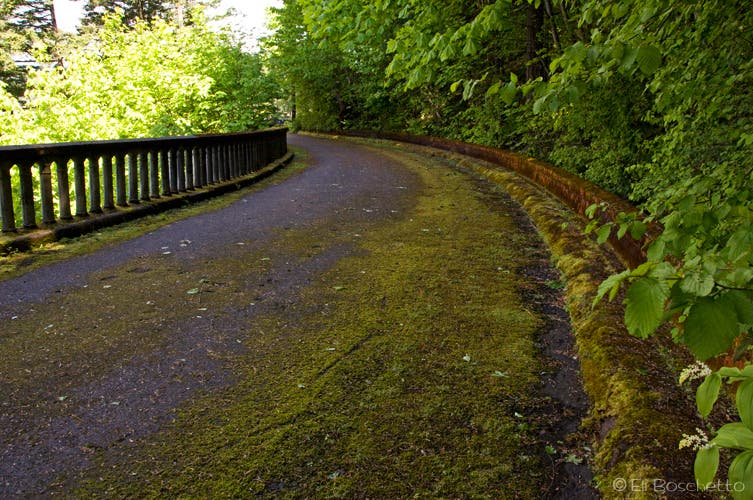
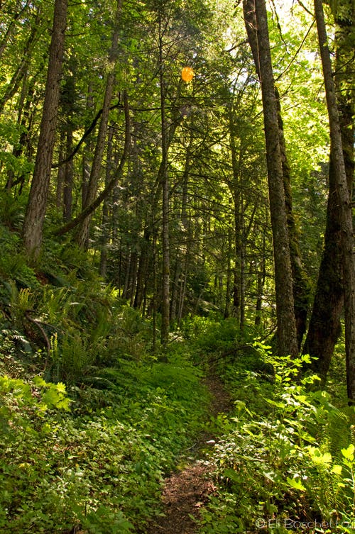
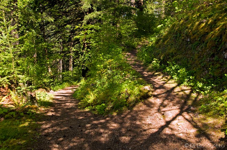
From the parking area, the first mile of the Tooth Rock trail heads east on an old section of the Historic Columbia River Highway. At Tooth Rock, the old highway contours around the large outcropping of volcanic rock on a stone viaduct, while the newer, multilane highway tunnels through the rock below. A viewpoint offers a wide panorama of Bonneville Dam, Beacon Rock and Table Mountain. Where the road comes to an end at a stone stairway, look for a dirt trail angling back uphill. After a short, moderate climb, the trail levels for for a leisurely walk amid shady forest.
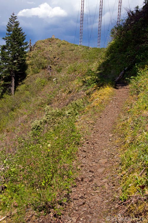
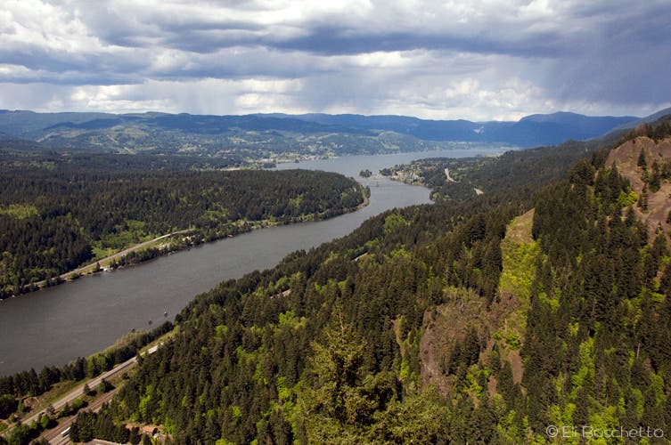
At 0.4 mile from the beginning of the dirt track, look for a signed spur heading uphill to the left. This short track leads to old FR 777; to the left, look for a sign indicating Columbia River Trail #400 and head east. Follow the contouring trail for 0.4 mile to a signed fork, and bear right, heading uphill again. From here, the trail switchbacks through alternating forest and exposed rockfall slopes. Look and listen for pika among the rocks. Complete the final uphill stretch under power lines to Wauna Viewpoint with a concrete pylon and USGS benchmark. From the viewpoint, take in wide views over the Columbia River, from Beacon Rock to Cascade Locks and the lower portion of Eagle Creek Valley.
To return to your starting point, double back down to FR 777, and back down the spur to the lower east/west trail where you earlier deviated. Back at the junction, turn left (W) and follow the trail 0.4 mile to its connection with the Historic HIghway. From here, turn left (W) and finish the short stretch back to the parking area.
Mapped by Eli Boschetto Bosco Mountain Photo
Trail Facts
- Distance: 6.7
Waypoints
WAU001
Location: 45.635044, -121.947985
Tooth Rock and Wauna Viewpoint trailhead at exit 40 off I-84 east.
WAU002
Location: 45.63939, -121.931795
At the end of the historic highway, pick up dirt trail that doubles back uphill.
WAU003
Location: 45.637139, -121.936513
Look for signed trail spur heading uphill to connect to FR 777.
WAU004
Location: 45.636201, -121.936015
At FR 777, turn left to continue east on Columbia River trail 400.
WAU005
Location: 45.637335, -121.931537
Turn right at signed spur for switchbacks up to Wauna Viewpoint.
WAU006
Location: 45.637048, -121.928112
Wauna Viewpoint, 900′ above Columbia River.
Historic Highway
Location: 45.635077, -121.946697
Start the Tooth Rock and Wauna Viewpoint trails on the historic Columbia River Highway.
Columbia Highway
Location: 45.637207, -121.941376
Stroll along an old section of the historic Columbia River Highway to Tooth Rock.
Highway Viaduct
Location: 45.638587, -121.935625
The historic Columbia River Highway diverts around Tooth Rock on a stone viaduct.
Gorge Forest
Location: 45.637717, -121.933565
After leaving the historic highway, begin a moderate climb through shady woods to Wauna Viewpoint.
Trail Split
Location: 45.637327, -121.931419
For the Wauna Viewpoint, take the upper right fork at this split on Columbia River Trail #400.
Wauna Viewpoint
Location: 45.636307, -121.929488
The final stretch to Wauna Viewpoint is across exposed slopes under powerlines.
View Point
Location: 45.637117, -121.927857
The eastern Columbia River Gorge, Cascade Locks, and Mt. Adams (in the clouds) from atop Wauna Viewpoint.