Portland, OR: Mount Hood via the South Side Route

We love Rainier. So do a million others. For a wilder, less committing big-summit experience, tackle Oregon’s tallest volcano. The classic Hogsback route of this 11,239-foot peak can be done in a day. You’ll need entry-level mountaineering skills: the ability to navigate well, even in bad weather, and recognize dangerous turn-back conditions. Gear up with crampons, ice axe, and a helmet and tackle the classic Hogsback route. Novices should consider roping up before climbing past the bergschrund at roughly 9,300 feet.
Plan to climb the South Side/Hogsback route from mid-May to mid-July, after avalanche danger has subsided and before too much snow has melted and rockfall turns the south side of the mountain into a bowling alley. Start your summit bid between 11 p.m. and 1 a.m. at the Timberline Lodge parking lot.
Strap on your crampons and hike up the east side of the ski trails to the top of the lift and climb snow slopes toward Crater Rock. Keep it on your right and the exposed—and smelly—thermally heated rock of Devils Kitchen on your left, to reach the Hogsback, the snow ridge behind Crater Rock. Stay on the Hogsback to the bergschrund, most often passable on the right side. Pick the least crowded snow chute to the summit. Descend before the sun hits the crater and warms the snow, usually by noon in summer.
REQUIRED: Wilderness permit, ice axe, crampons, rope, and mountaineering skills.
GUIDEBOOK: Climbing the Cascade Volcanoes, by Jeff Smoot ($15, falcon.com)
PERMIT: Required for climbing (free at the Wy’East Timberline Day Lodge)
CONTACT: (503) 668-1700, fs.usda.gov/mthood
-Mapped by Trung Q. Le
Trail Facts
- Distance: 10.9
- Miles from city center: 62
Waypoints
MTH001
Location: 45.3307, -121.709198
Before the climb, pick up the required wilderness permit at the Climbers Registry in the Wy’east Day Lodge. The signed climber’s trail starts to the north of the day lodge (east of Timberline Lodge). Follow climber’s trail north for 1 mile to Silcox Hut (do not hike up groomed ski runs). Optional: To cut 2,500 feet of elevation gain and 2-3 hours off the ascent, reserve a snow cat and ride to the top of the Palmer Lift.
MTH002
Location: 45.344311, -121.708801
Silcox Hut: This stone hut offers food, lodging, and round-trip transportation from the main Timberline Lodge. Its entryway provides shelter from the wind and cold. Next, follow the path to the top of Palmer Lift, heading north up Palmer Glacier.
MTH003
Location: 45.358505, -121.705353
Pass a building at the top of Palmer Lift (provides shelter from the wind). This is the traditional place to put on crampons; the terrain ahead is not groomed and becomes more exposed to wind and cold. Look behind you to the south for striking views of Mount Jefferson; the Steel Cliffs rise to the east. Next, continue climbing north to the base of Crater Rock.
MTH004
Location: 45.367577, -121.702385
Turn right and traverse east around Crater Rock, a volcanic lava dome. You may begin to smell hydrogen sulfide, which emanates from the surrounding fumaroles. In 100 yards, the route curves to the northeast. Look west to find Illumination Rock, the only prominent rock formation in the area.
MTH005
Location: 45.368908, -121.699623
The smell of hydrogen sulfide becomes stronger as you near Devils Kitchen (look for the steam plumes). Devils Kitchen can be seen just east of Crater Rock (Devils Kitchen Headwall is another route to Mount Hood).
MTH006
Location: 45.370789, -121.698997
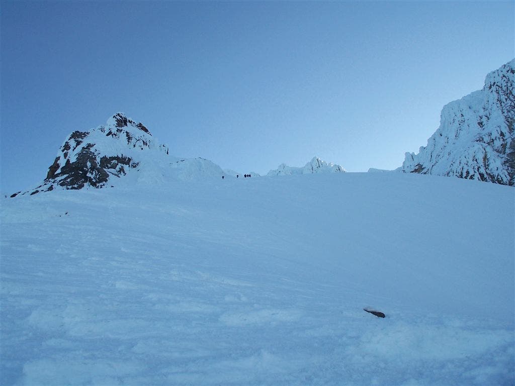
The Hogsback: This long, narrow ridge formed by snow drifts generally runs from Crater Rock to the summit ridge. Ahead, climbers can either ascend the Pearly Gates (not mapped) or the Old Chute.
MTH007
Location: 45.371666, -121.698029
The route crosses the bergschrund, a horizontal crevasse in the glacier. The snow conditions will determine your route around the crevasse; use extreme caution. After crossing the bergschrund, head left around the rock cropping to reach the Old Chute.
MTH008
Location: 45.373192, -121.698128
The Old Chute: Prepare to climb up 35- to 45-degree slopes.
MTH009
Location: 45.37376, -121.6978
From the top of the Old Chute, traverse east along the summit ridge. Watch your footing along the ridge (roughly the width of a sidewalk). The first views of Mount St. Helens and Mount Rainier appear to the north; Mount Adams can be seen to the northeast.
MTH010
Location: 45.373489, -121.695908
Mount Hood (11,239 ft.): Take in 360-degree views from this dormant volcano (Oregon’s highest peak). Mount Adams, Mount St. Helens, and Mount Rainier rise to the north. The Three Sisters can be seen to the south. Follow the same route back to the trailhead.
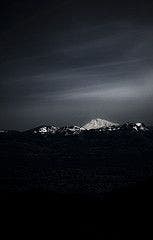
Sunrise
Location: 45.36311, -121.703522
Mount Jefferson
Location: 45.363804, -121.703285
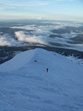
Views to the south while climbing towards Crater Rock.
Mountain Shadow
Location: 45.364433, -121.702972
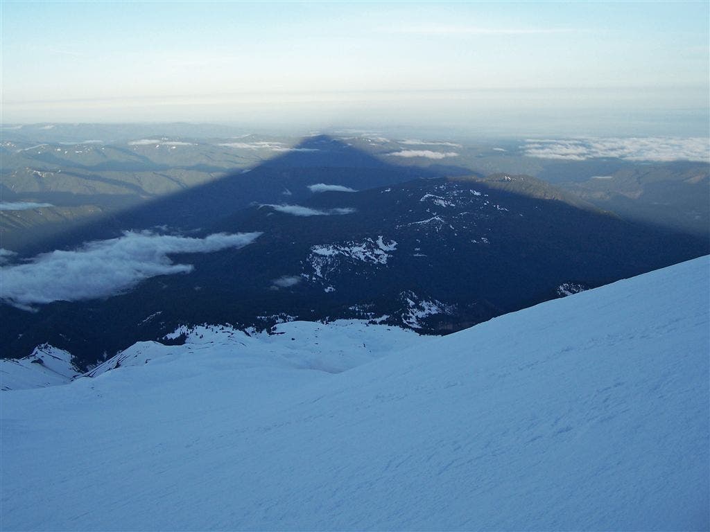
The rising sun behind Mt. Hood casts a cone-shaped shadow on the valley below.
Crater Rock
Location: 45.367264, -121.701424
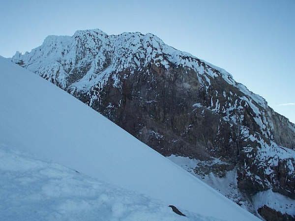
Steel Cliffs
Location: 45.367653, -121.700844
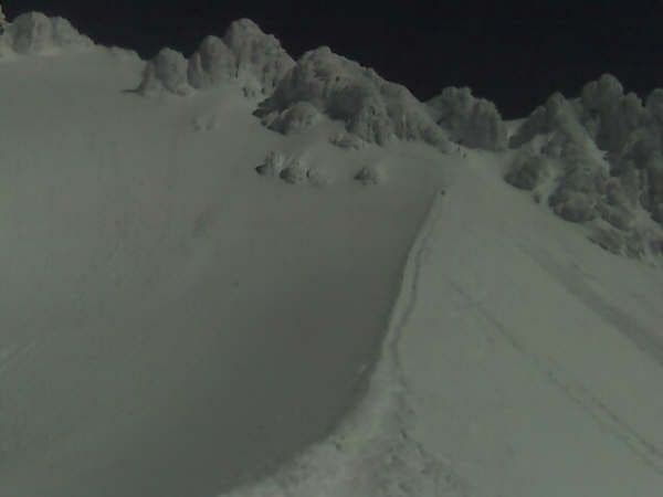
The Hogsback
Location: 45.371307, -121.698471
To the right are the Pearly Gates. Old Chute can be seen on the left.
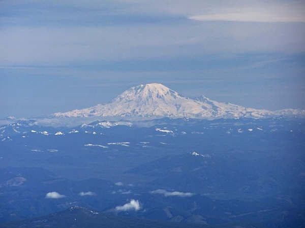
Mount Rainier
Location: 45.373554, -121.696266
Looking north from the summit.
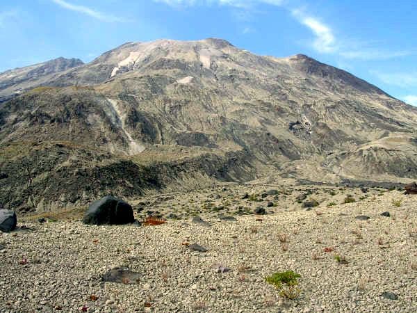
Mount St. Helens
Location: 45.373558, -121.696075
Looking north from the summit.
Mount Adams
Location: 45.373547, -121.695969
Looking northeast from the summit.
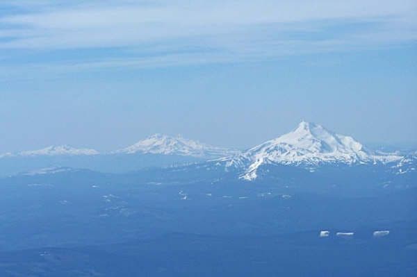
Cascade Peaks
Location: 45.373554, -121.696159
Looking south: Mount Jefferson, The Three Sisters and Mount Bachelor (from right to left).