Published September 20, 2013 03:30PM
Portland, OR: Larch Mountain
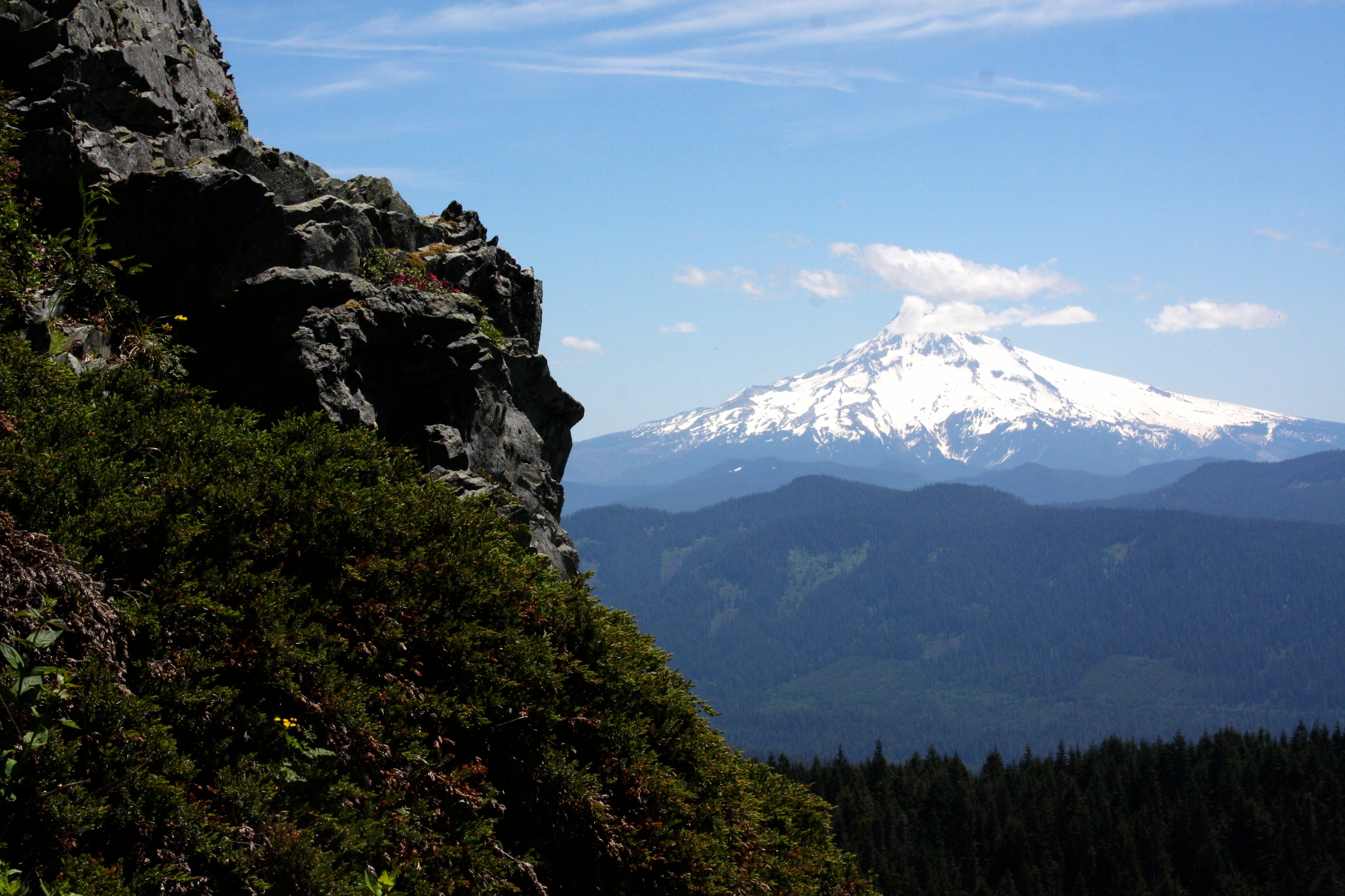
Countless waterfalls, 100-mile mountain views, and groves of ancient trees make this 8.6-mile, one-way trek one of the best dayhikes in the region.
'brx0'
Trail Facts
- Distance: 13.5
- Miles from city center: 36
Waypoints
LMV001
Location: 45.5289344787598, -122.08763885498
Larch Mtn. Picnic Area. Sidetrip: Head N to Sherrard Point and mountain overlook
LMV002
Location: 45.5326843261719, -122.087715148926
Sherrard Point (4,056 ft.); go back to picnic area and hike SE
LMV003
Location: 45.5279998779297, -122.081436157227
Upper Trailhead onto Oneonta Trail #424
LMV004
Location: 45.5350341796875, -122.06616973877
L @ Y onto Trail #444; follow gorgeous creek and enjoy occasional vistas
LMV005
Location: 45.5357513427734, -122.080947875977
River crossings along switchbacks; turn L onto Multnomah Creek Spur Trail; cross bridge
LMV006
Location: 45.5473022460938, -122.07829284668
Turn L, and cross creek on rustic bridge; turn R .1 mile later; small waterfalls ahead
LMV007
Location: 45.5588684082031, -122.079734802246
Trail opens up @ huge rockslide and scree field
LMV008
Location: 45.5617179870606, -122.079063415527
Giant waterfall near footbridge
LMV009
Location: 45.569278717041, -122.09220123291
Swift mountain streams dotted with waterfalls flow into Multnomah Creek; trail passes under large old growth trees
LMV010
Location: 45.5790328979492, -122.117919921875
ADVERTISEMENT
Multnomah Falls trailhead; set up a car shuttle before starting this hike, or retrace your steps to make it a very big day