Portland, OR: Indian Point via Nick Eaton Ridge

This 9.6-mile lollipop loop showcases lush forests, open vistas, and a rocky overlook in the Columbia River Gorge. The route gains more than 2,800 feet of elevation in the first 3.5 miles, making for a challenging dayhike that, all the same, is doable in a half-day.
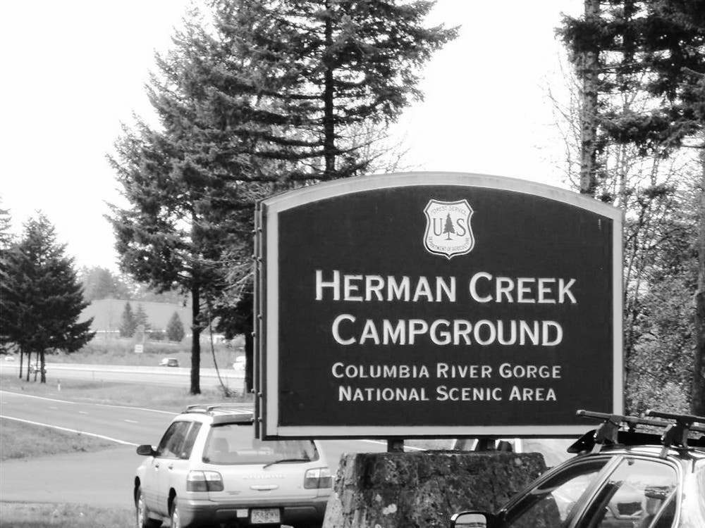
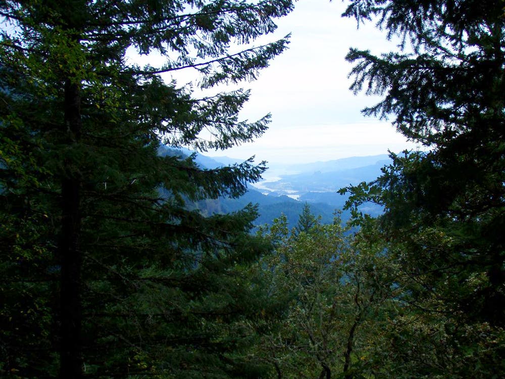
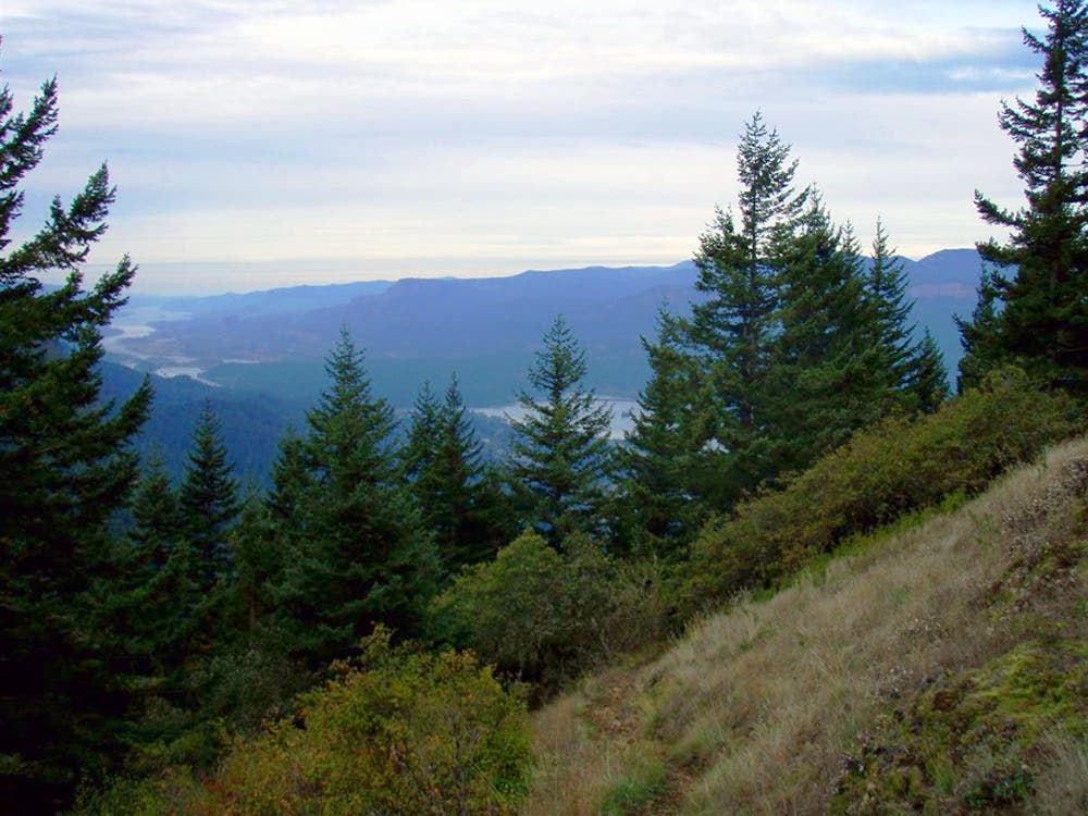
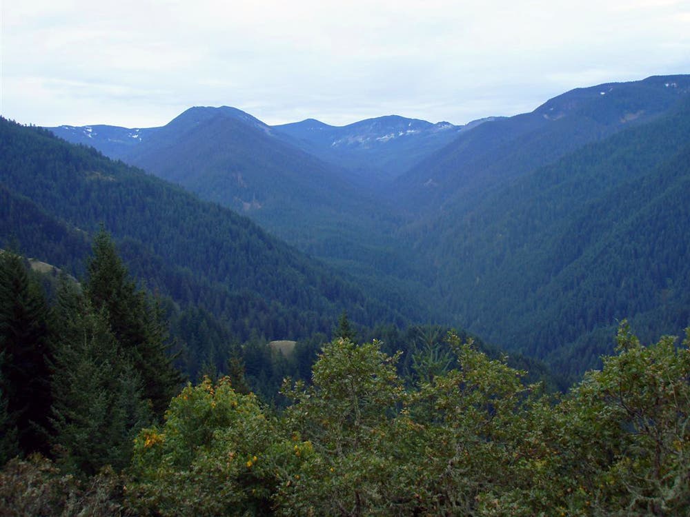
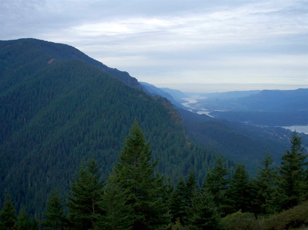
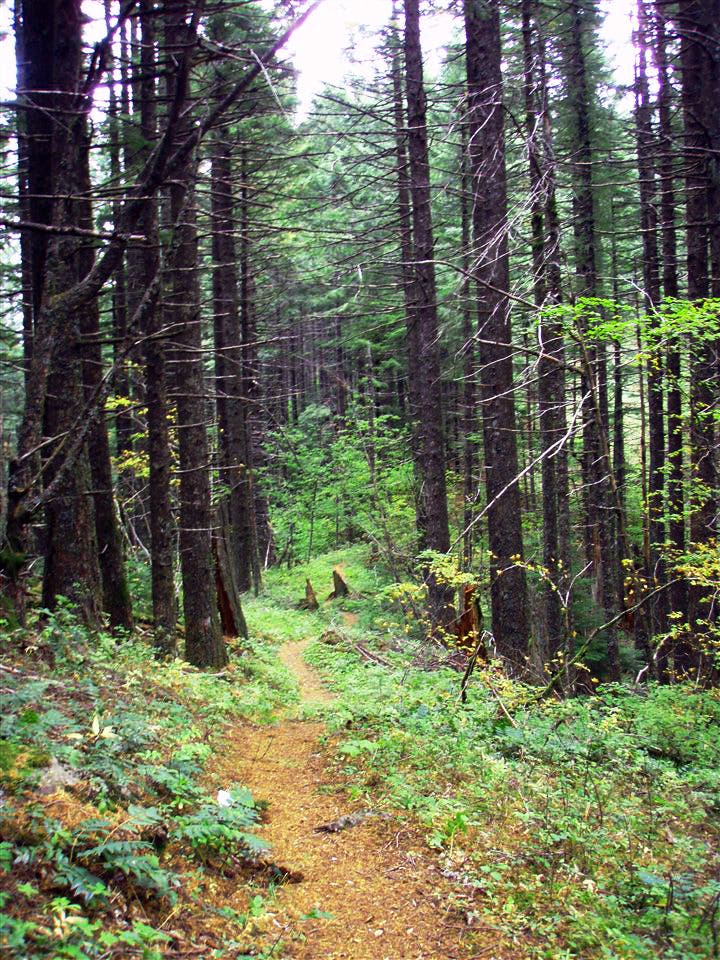
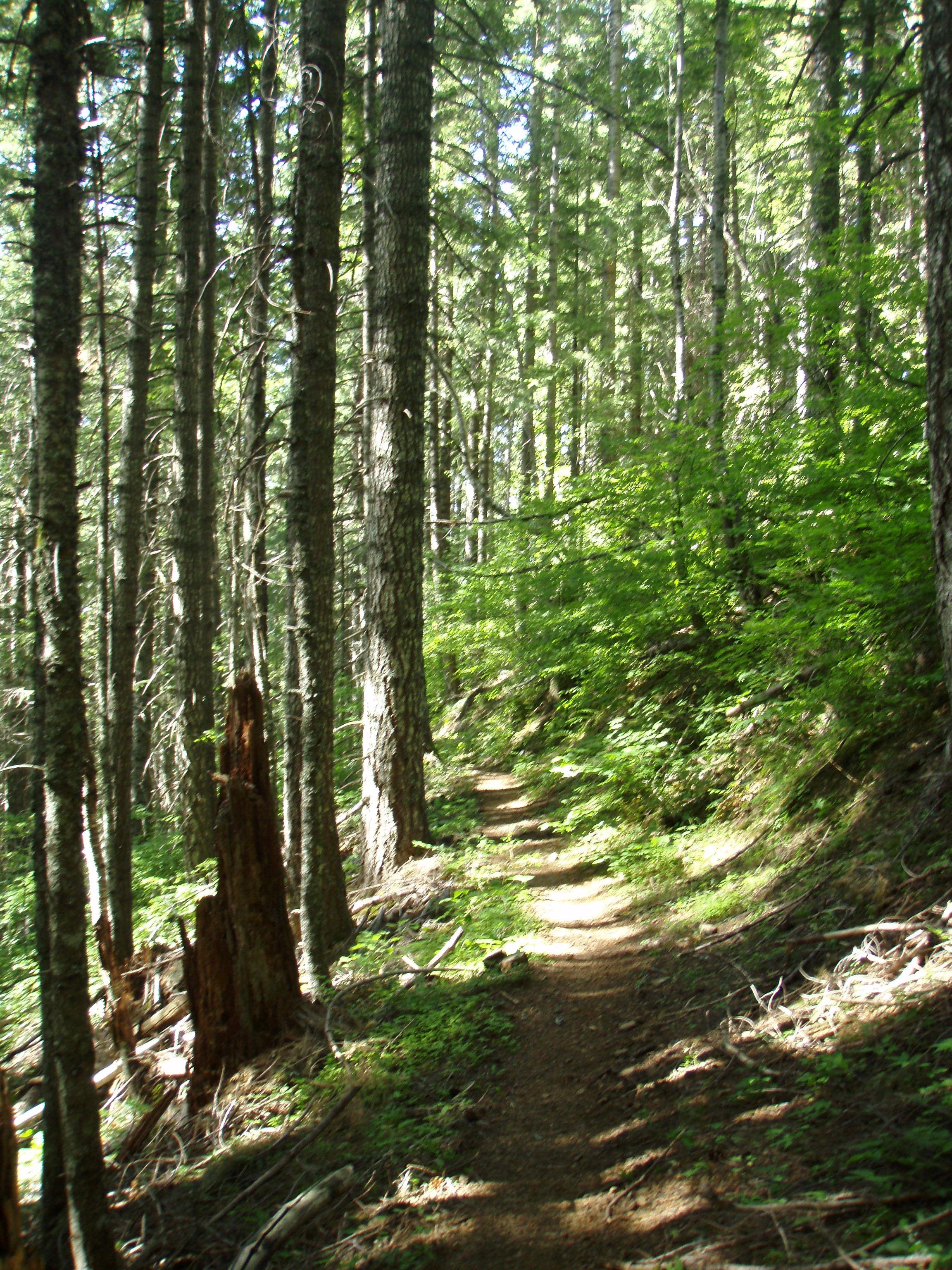
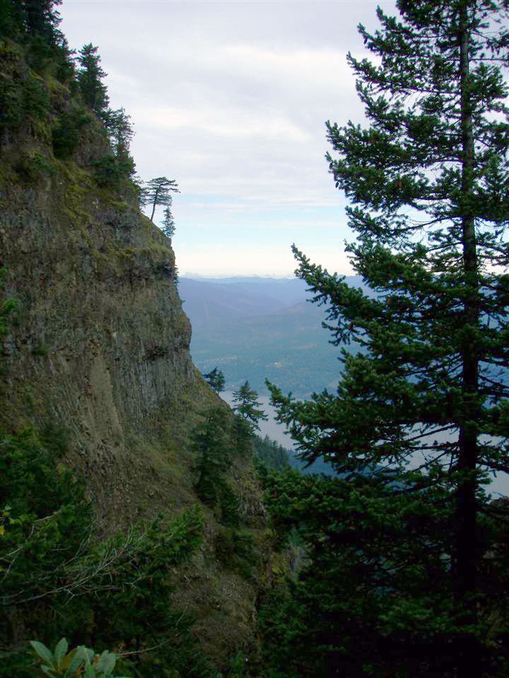
Start at the parking area next to the frontage road and follow Herman Creek Road through the campground to Herman Creek Trail. The trail climbs steadily away from the noise of I-84 into quiet forests of Douglas fir, cedar, and hemlock. After 3.6 miles, tackle the myriad switchbacks that crest Nick Eaton Ridge. Keep your camera handy along this scenic stretch—you’ll pass several viewpoints that reveal bird’s-eye views across the Columbia Gorge.
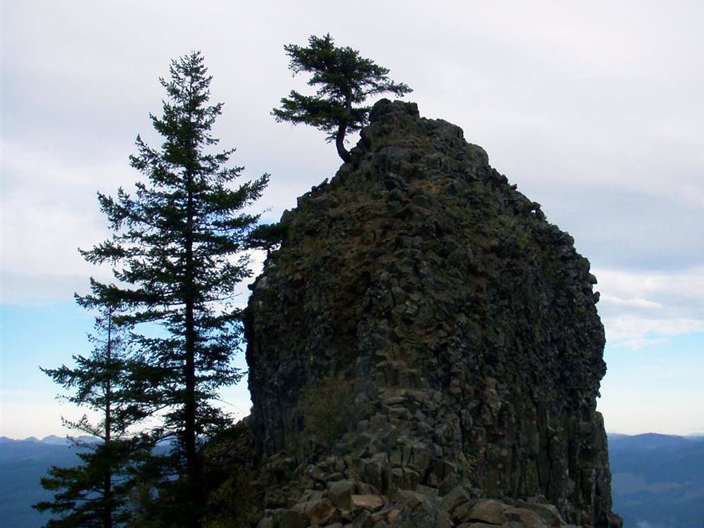
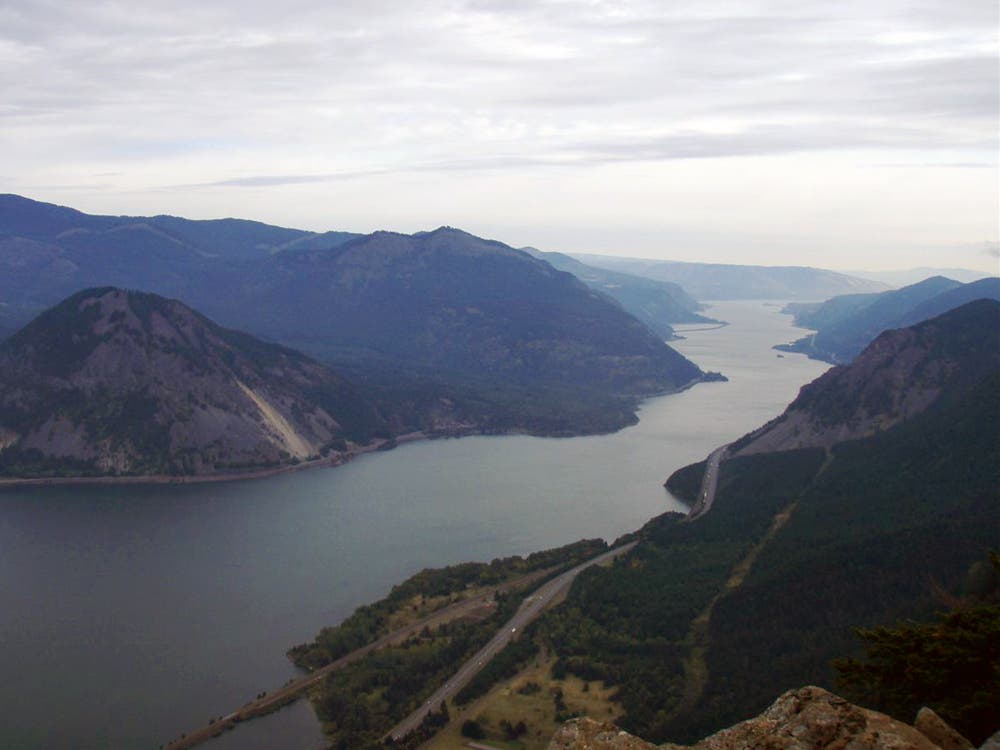
From the spine of Nick Eaton Ridge, the route drops down to Grays Creek and travels north on Gorton Creek Trail to Indian Point, a rocky outcrop that rises 2,400 feet above the Columbia River. When you’re finished soaking up the views, follow Gorton Creek Trail across wooded hillsides and ravines to reconnect with Herman Creek Trail. Turn right for the 1.6-mile stretch back to the trailhead.
-Mapped by Galen Williams
Trail Facts
- Distance: 15.4
Waypoints
IND001
Location: 45.682669, -121.8443924
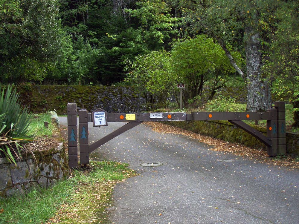
From the parking area, pass through a wooden gate into Herman Creek Campground and follow the Herman Creek Road 0.3 mile to the trailhead.
IND002
Location: 45.6826558, -121.8424773
Herman Creek Trailhead: Parking is also available here when Herman Creek Campground is open. Follow the trail to the southwest past towering Douglas fir, cedar, and hemlock. You’ll climb nearly 2,850 feet in the next 3.2 miles.
IND003
Location: 45.678803, -121.8427992
Bear left @ Y-junction. Ahead, the trail travels to the northeast above Herman Creek.
IND004
Location: 45.679785, -121.840117
Bear right @ Y-junction, heading northeast.
IND005
Location: 45.6801898, -121.8292379
Pass a clearing on the left-hand side of the trail. Keep straight @ 3-way intersection, heading southeast.
IND006
Location: 45.6786456, -121.8267596
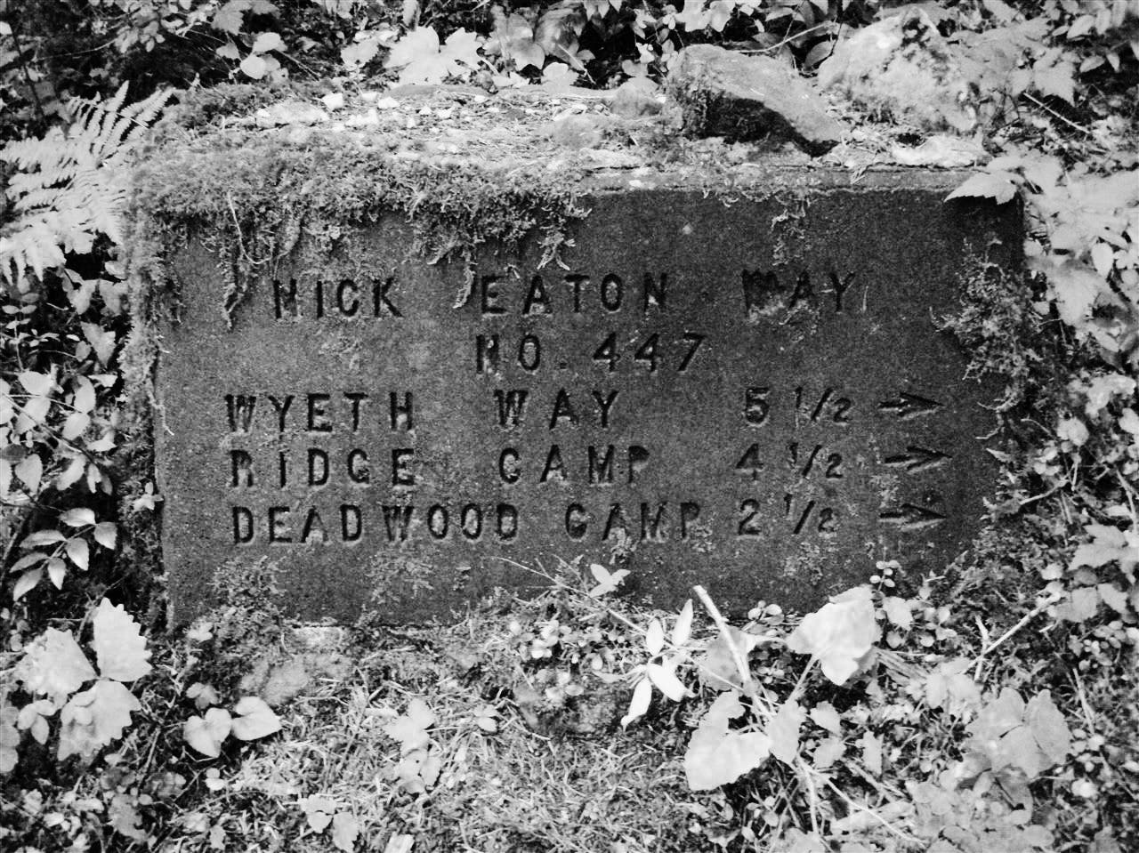
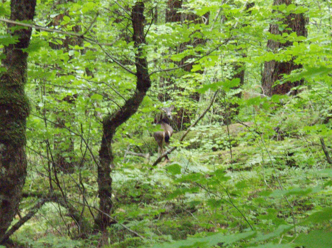
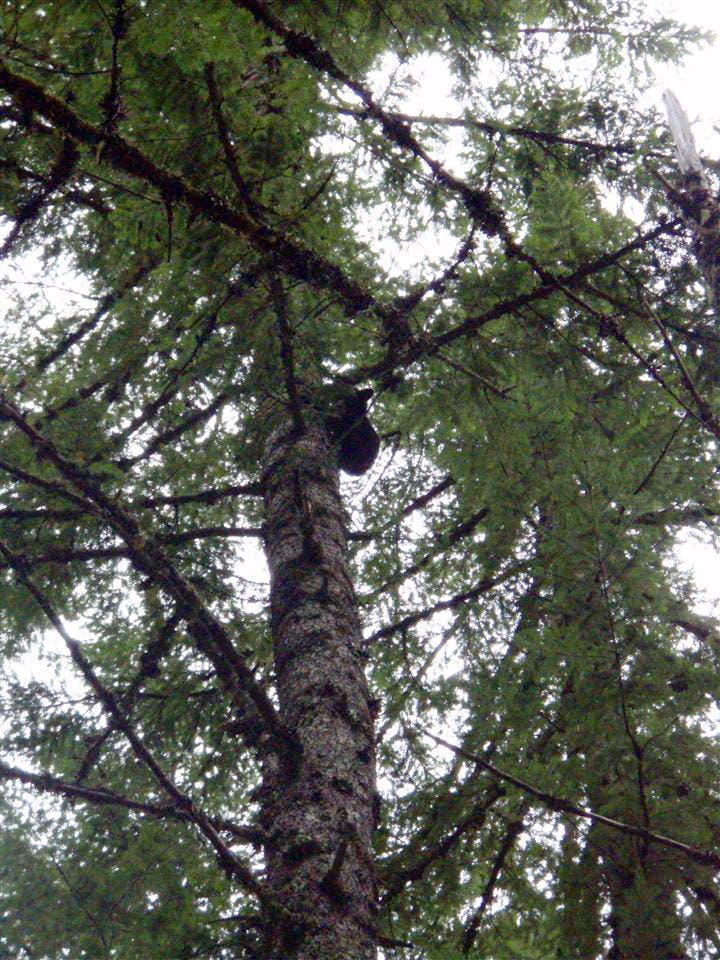
Turn left off of Herman Creek Trail onto Nick Eaton Trail. Ahead, a switchback climb leads to Nick Eaton Ridge. Keep an eye out for wildlife; you may spot deer and black bears in the woods.
IND007
Location: 45.6781, -121.815824
Just below the ridgetop, a clearing offers picturesque views of the Columbia Gorge to the west.
IND008
Location: 45.676761, -121.805847
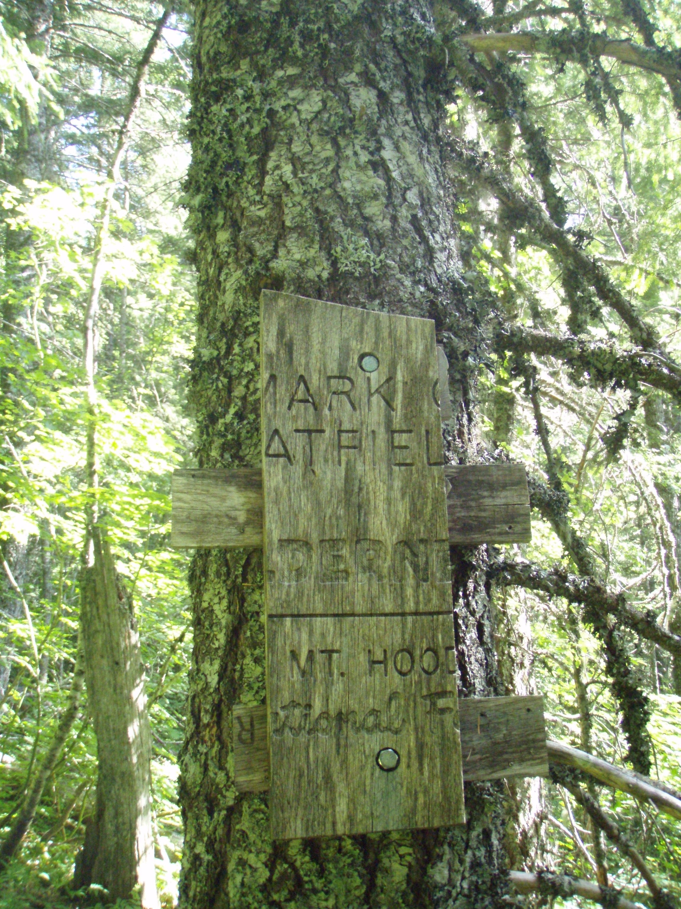
Hike past the boundary of the Mark O. Hatfield Wilderness. In 500 feet, bear right. The trail on the left leads to an unnamed, 3,152-foot summit.
IND009
Location: 45.6732707, -121.7977166
Bear left onto Deadwood Trail. The path leaves the ridge and descends to the east above Grays Creek.
IND010
Location: 45.6744177, -121.7898631
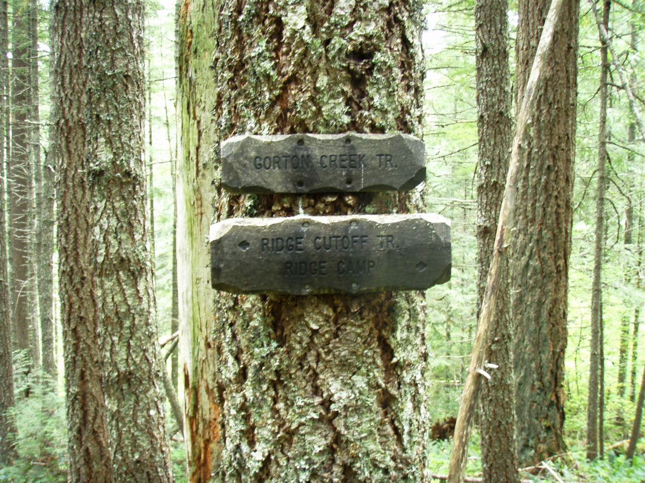
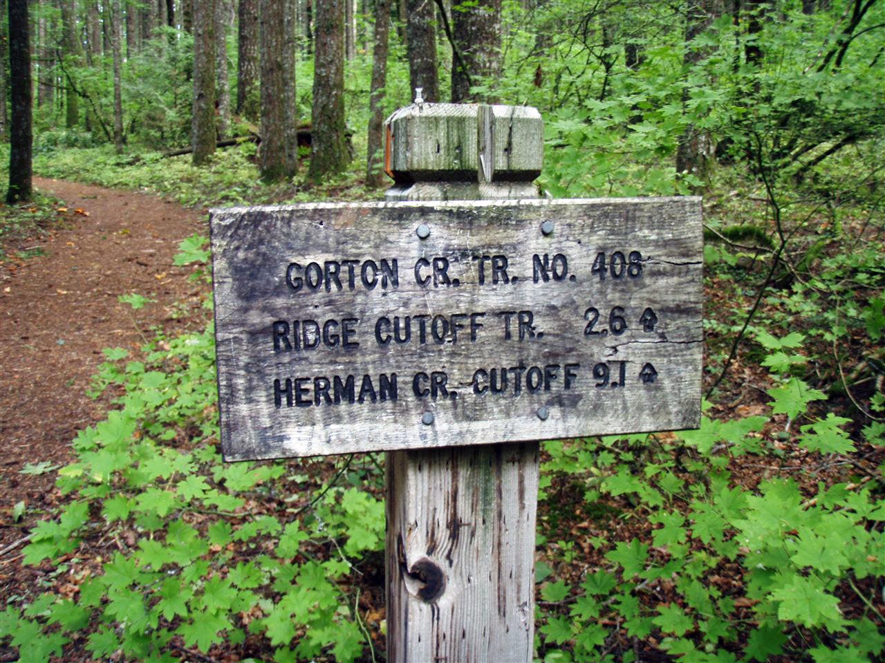
Turn left (west) @ T-junction onto Gorton Creek Trail. The narrow trail winds through lush understory.
IND011
Location: 45.6822811, -121.7989987
Turn right (northeast) @ 3-way junction onto side trail to Indian Point.
IND012
Location: 45.683522, -121.797951
Indian Point: This rocky outcropping showcases sky-high views of the Columbia Gorge to the east and west. Next, return to Waypoint 11 and turn right.
IND013
Location: 45.681127, -121.807412
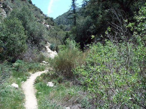
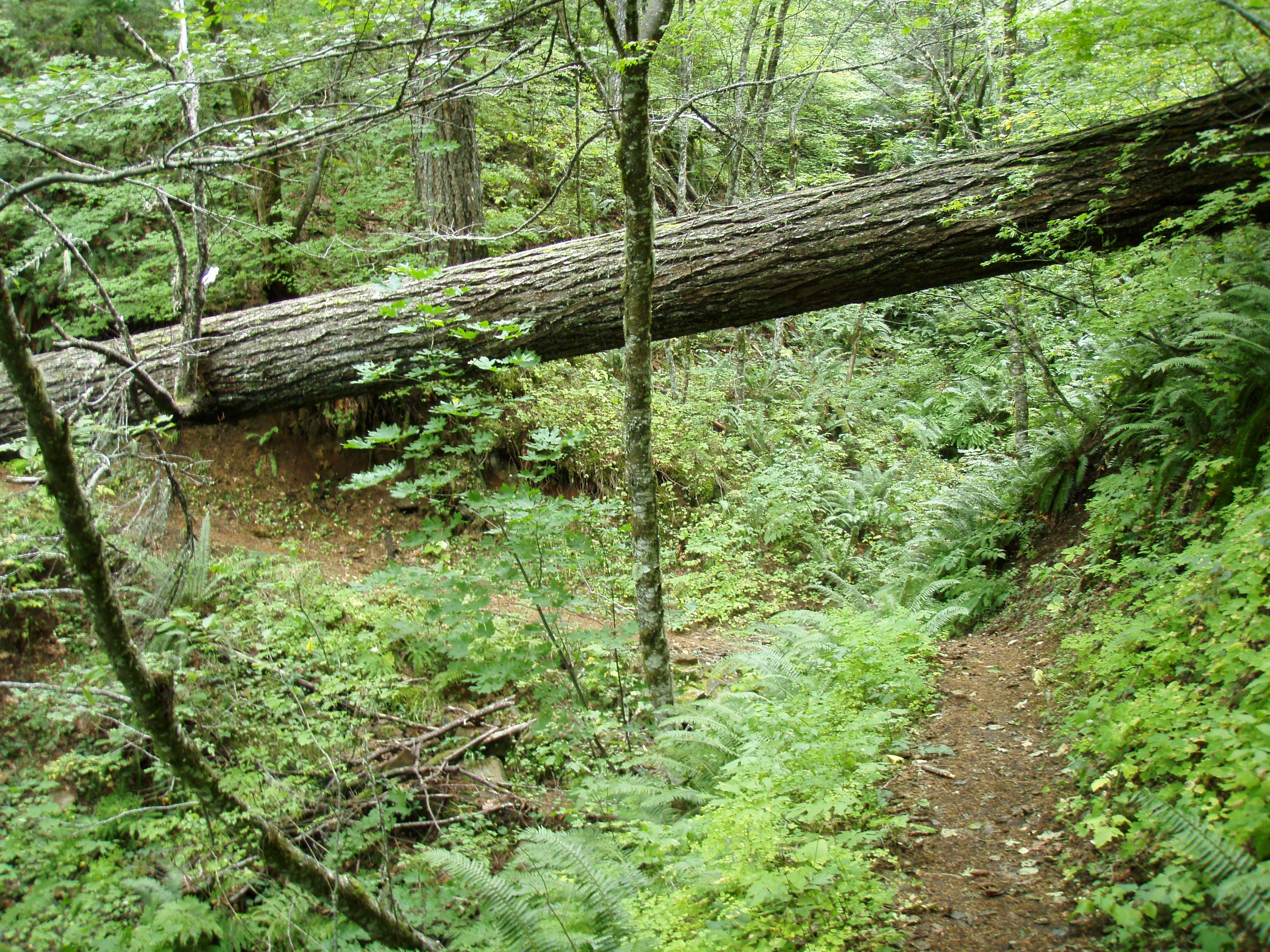
The trail wraps around a wooded ravine. You’ll walk past a massive, fallen tree on the left-hand side of the trail.
IND014
Location: 45.6803772, -121.8290663
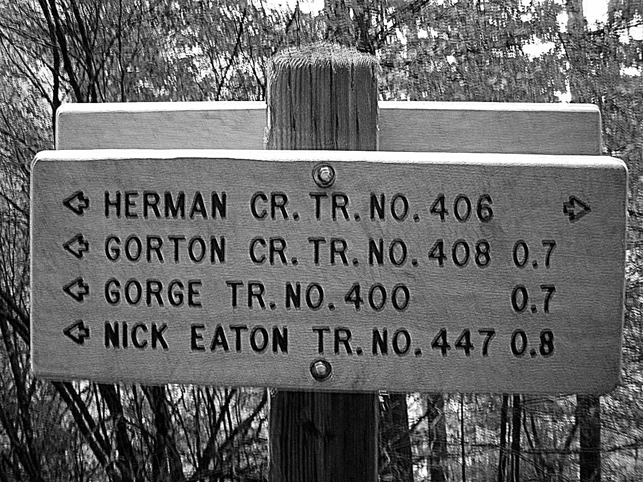
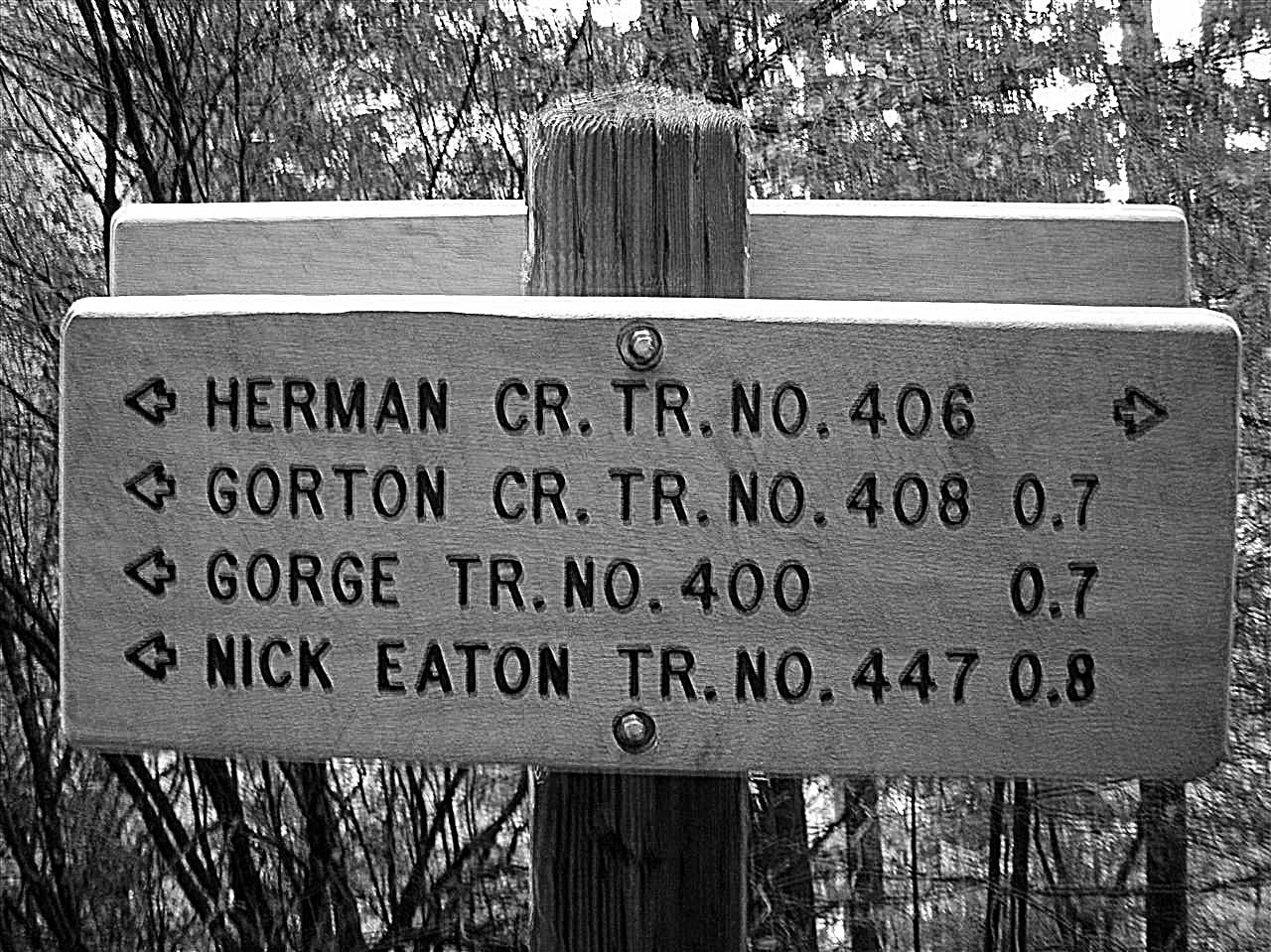
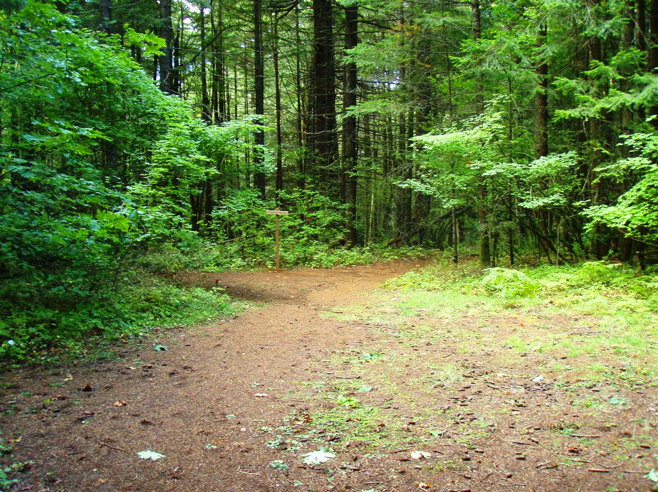
Continue straight @ the junction of Gorton Creek Trail and Gorge Trail No. 400. In 70 feet, turn right @ T-junction (Waypoint 5) and follow the same route back to the trailhead.
Indian Point
Location: 45.6834354, -121.7978936
© Galen Williams
Parking Area
Location: 45.6826633, -121.8443012
© Galen Williams
Herman Creek Campground
Location: 45.6826558, -121.8439901
Go around this gate into the Herman Creek Campground. © Galen Williams
Trailhead
Location: 45.6826408, -121.8423915
© Galen Williams
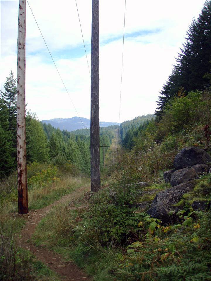
Powerlines
Location: 45.6812242, -121.8425953
Pass a row of powerlines and continue on the trail. © Galen Williams
Trail Sign
Location: 45.6787955, -121.8425846
© Galen Williams
Nick Easton Rock Sign
Location: 45.6786306, -121.8266201
© Galen Williams
Deer
Location: 45.6795301, -121.8237448
© Galen Williams
View through the trees
Location: 45.6788105, -121.818037
© Galen Williams
Clearing
Location: 45.6780909, -121.8156445
© Galen Williams
Trailside Views
Location: 45.677821, -121.8120933
© Galen Williams
Columbia Gorge
Location: 45.6773413, -121.8111813
© Galen Williams
Wilderness Boundary
Location: 45.6767716, -121.8055701
© Galen Williams
Trail Sign
Location: 45.6732632, -121.7976201
Take a left at the Deadwood Trail. © Galen Williams
Bear
Location: 45.6729183, -121.7927599
© Galen Williams
Gorton Creek Trail
Location: 45.6744102, -121.7897236
© Galen Williams
Wooded Trail
Location: 45.6750774, -121.7929316
© Galen Williams
Trail
Location: 45.6763143, -121.7955816
© Galen Williams
Views to the East
Location: 45.6835291, -121.7978078
Views of the Columbia Gorge from Indian Point. © Galen Williams
Views to the West
Location: 45.6835253, -121.797899
© Galen Williams
Dry Creek
Location: 45.6811417, -121.8072867
© Galen Williams
Wooded Trail Sign
Location: 45.6803472, -121.8288624
© Galen Williams
Trail Junction
Location: 45.6803697, -121.8289912
© Galen Williams