Portland, OR: Herman Creek Pinnacles
While it’s no secret that the trails along Herman Creek and Dry Creek offer spectacular hiking in the Columbia River Gorge, relatively few hikers know to link these two popular trails on a short section of the Pacific Crest Trail. This 8.7-mile out-and-back explores a lesser-known route that travels through old-growth forest to the towering remains of several crumbling basalt monoliths and a 50-foot waterfall.
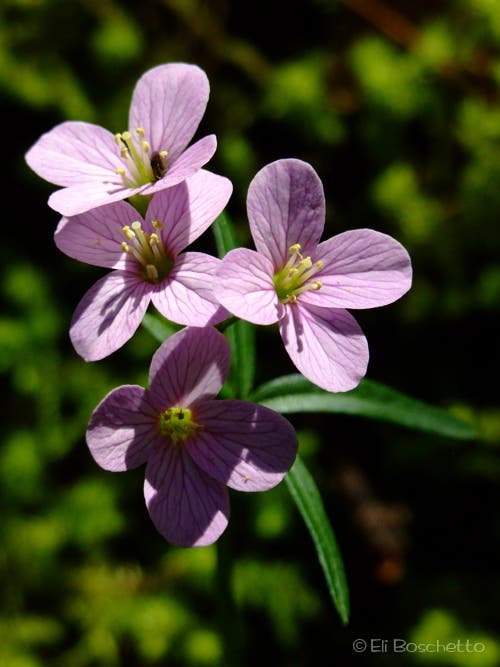
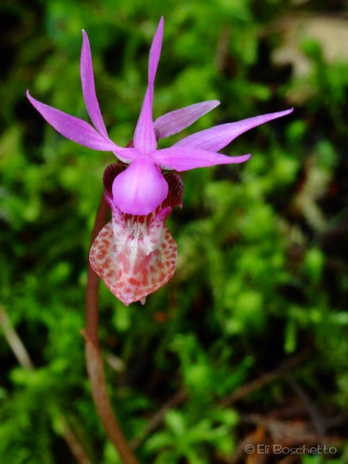
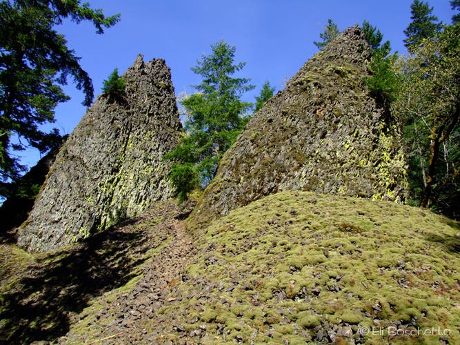
The trail starts in the Herman Creek Campground and climbs through lush forest. After 0.6 mile, leave the crowds that head up the canyon, and descend to the Herman Creek Bridge and the PCT; keep an eye out for fairy slipper, a vibrant purplish-pink wildflower. After 1.8 miles, turn right (west) onto the PCT and pass a small, tiered waterfall. Less than a quarter mile past the falls, look for towering lava pinnacles on the right side of the trail. A short, rocky spur leads to the base of the pinnacles and a small campsite.
From the pinnacles, continue west on the PCT toward Dry Creek Road. Along the way, cross several moss-covered rockfall slopes that offer views of the Columbia River and Table and Hamilton mountains. Less than 2 miles later, cross the bridge at Dry Creek, then turn left on the road, heading up the hill. The road ends at the 50-foot Dry Creek Falls, a stunning waterfall that pours down a moss-covered basalt amphitheater. After enjoying the cool falls and a snack, return to the trailhead on the same route.
-Mapped by Eli Boschetto, Bosco Mountain Photo

Trail Facts
- Distance: 14.0
Waypoints
PIN001
Location: 45.6825284, -121.8425417
Hike southwest from the trailhead in Herman Creek Campground. In 650 feet, the trail switchbacks to the left.
PIN002
Location: 45.6812841, -121.8428206
Cross a service road. Ahead, the signed route swings to the right under power lines.
PIN003
Location: 45.678773, -121.8428636
Bear right @ Y-junction and follow the trail down to the Herman Creek Bridge. Look for the vibrant purplish-pink flowers of fairy slipper that dot the ground.
PIN004
Location: 45.6783982, -121.8363512
Cross a bridge over Herman Creek.
PIN005
Location: 45.6718388, -121.8389475
The trail intersects the Pacific Crest Trail (PCT) at a T-junction. Turn right onto the PCT, heading west.
PIN006
Location: 45.668645, -121.8452775
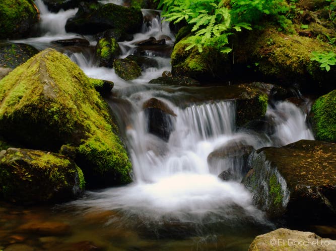
Photo op: The route crosses an unnamed creek just below cascades and a tiered waterfall. Watch for the pinnacles after rounding the next bend.
PIN007
Location: 45.6690986, -121.8483245
Pass a group of lava pinnacles on the right side (north) of the trail. Look for a short spur trail that climbs to the base of the pinnacles; a small campsite and fire ring are also located here. Ahead: Cross several moss-covered rockfall slopes that offer views of the Columbia River and Table and Hamilton mountains. Look and listen for pika.
PIN008
Location: 45.6600073, -121.8694496
Cross the bridge over Dry Creek.
PIN009
Location: 45.6599323, -121.8697715
Turn left on Dry Creek Road, hiking south up the hill to Dry Creek Falls.
PIN010
Location: 45.6572553, -121.8670249
Dry Creek Falls: Gaze up at this 50-foot waterfall that pours down a mossy cliff. Since the falls are mentioned in few guidebooks, there’s a good chance you’ll have it to yourself. Follow the same route back to the trailhead.
Dry Creek Falls
Location: 45.6572628, -121.8668747
This 50-foot waterfall is the end of the line. Since it’s in few guidebooks, there’s a good chance you’ll have it to yourself. © Eli Boschetto
Trailhead
Location: 45.6825359, -121.8423915
Start the trail in the Herman Creek Campground. © Eli Boschetto
Herman Creek
Location: 45.6784057, -121.8361902
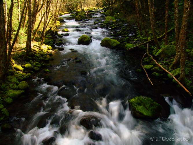
Descend to the Herman Creek Bridge, then start the climb to meet the PCT. © Eli Boschetto
Moonwort
Location: 45.6749349, -121.8367696
Plenty of spring color adorn the slopes and trailsides. © Eli Boschetto
Cascade
Location: 45.6686525, -121.8451273
Trail crossing just below cascades and tiered waterfall on unnamed creek. © Eli Boschetto
Fairyslipper
Location: 45.6687649, -121.8529272
This delicate, uncommon wildflower is named for the beautiful sea nymph in Homer’s “Odyssey” – Calypso Bulbosa. © Eli Boschetto
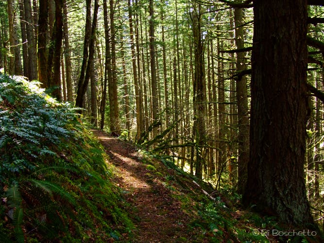
Pacific Crest Trail
Location: 45.6669955, -121.8636775
Stroll through shady old growth on your way to Dry Creek Falls. © Eli Boschetto
The Pinnacles
Location: 45.6691098, -121.8481743
The pinnacles are made of crumbling basalt. Look for this geologic formation just off the trail. © Eli Boschetto