Portland, OR: Dublin Lake via Tanner Butte Trail

Start from the Wahclella Falls parking lot and hike north 100 yards to connect with the trailhead—if time permits, take the 1-mile side trip to Wahclella Falls. The first 4.5 miles of this trip switchback up the mountain, gaining 2,600 feet of elevation. The route passes enormous transmission towers (which connect to Bonneville Dam) before turning onto the Tanner Butte Trail. (Towering fir trees, a cascading waterfall, and trickling streams flank the trail.) After 4.7 miles, crest the Tanner Butte ridgeline, then climb 1.6 miles more to the junction with Dublin Lake Trail. From here, it’s a quick, 0.2-mile descent to Dublin Lake, a small, secluded lake rimmed by conifers and a few primitive campsites. On hot summer days, cool down with a refreshing dip before returning to the trailhead.
-Mapped by Trung Q. Le


Trail Facts
- Distance: 10.7
Waypoints
DBL001
Location: 45.6315206, -121.9535315
From the Wahclella Falls parking lot, walk north 100 yards (toward I-84) to reach the trailhead on the right. If time permits, take the brief, 1-mile side trip down to Wahclella Falls.
DBL002
Location: 45.6336975, -121.9425354
The route passes enormous transmission towers (the power lines cross the Columbia River toward the Bonneville Dam). In 100 yards, continue straight (northeast) on the dirt forest road for a gradual climb toward the Tanner Butte Trailhead. Pass numerous intersecting roads. Ahead, the road eventually turns to gravel.
DBL003
Location: 45.6352043, -121.9392319
Turn right @ T-intersection onto Tanner Butte Trail #401. In 100 feet, pass a cascading waterfall. Ahead, the trail gradually ascends numerous switchbacks flanked by bare conifers. Watch your footing on narrow sections of trail.
DBL004
Location: 45.6277843, -121.9480276
Keep right on the Tanner Butte Trail @ Y-intersection. An old, unused forest road forks to the left. Continue gradual climb, crossing trickling streams and creeks (too shallow to filter water).
DBL005
Location: 45.6263046, -121.9432602
Bear left @ Y-intersection on the Tanner Butte Trail.
DBL006
Location: 45.6236343, -121.9440002
Continue straight @ 4-way intersection, crossing the forest service road. Reconnect with the Tanner Butte Trail in roughly 20 yards.
DBL007
Location: 45.6241875, -121.9309464
Continue straight @ 3-way junction (the trail on the left leads to Wanna Point). The trail flattens for the next few miles and passes towering Douglas, noble and silver firs.
DBL008
Location: 45.6211052, -121.9249115
Enter the Mark O. Hatfield Wilderness and continue the gentle climb to Dublin Lake. Note: Party size is limited to 12 people in the wilderness area. The forest becomes more densely populated with downed trees and branches; however, the trail is well maintained, so obstacles on the trail are rare.
DBL009
Location: 45.6014131, -121.9144893
Continue straight @ 3-way intersection on Tanner Butte Trail. Tanner Butte Cutoff Trail #448 enters on the right.
DBL010
Location: 45.6007675, -121.9144893
Turn left (southeast) @ 3-way intersection onto Dublin Lake Trail #401B. Ahead, tackle a challenging descent to Dublin Lake (watch your footing). Views of Dublin Lake peek through the covering of the trees below.
DBL011
Location: 45.5995515, -121.9106483
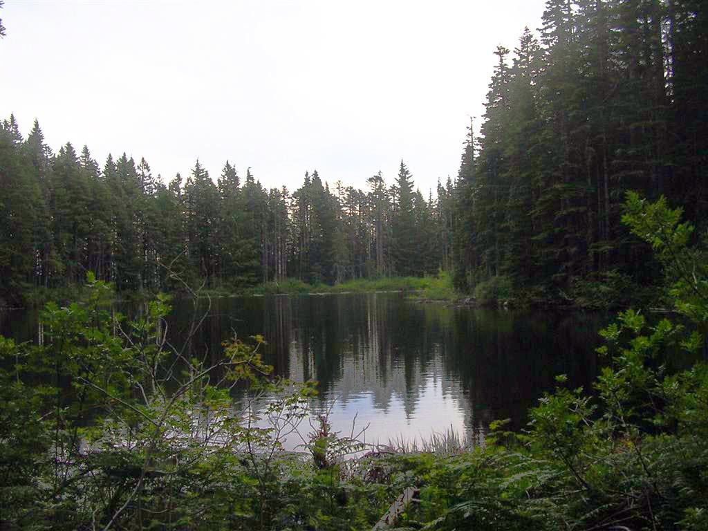
Dublin Lake: There a few primitive campsites around the lake with fire rings. On a warm day, cool down with a refreshing dip in the lake. Return to the trailhead following the same route.
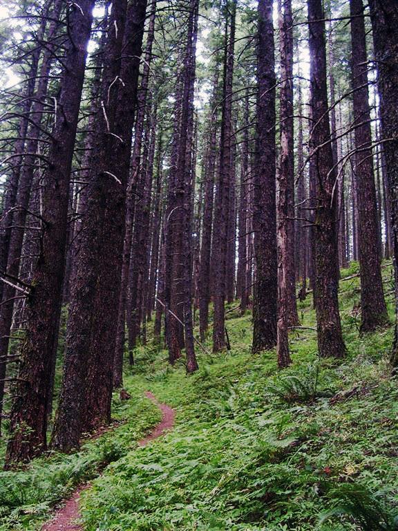
Bare Forest
Location: 45.6253834, -121.9425774
Trees along this stretch have few needles and branches. ©Trung Q. Le
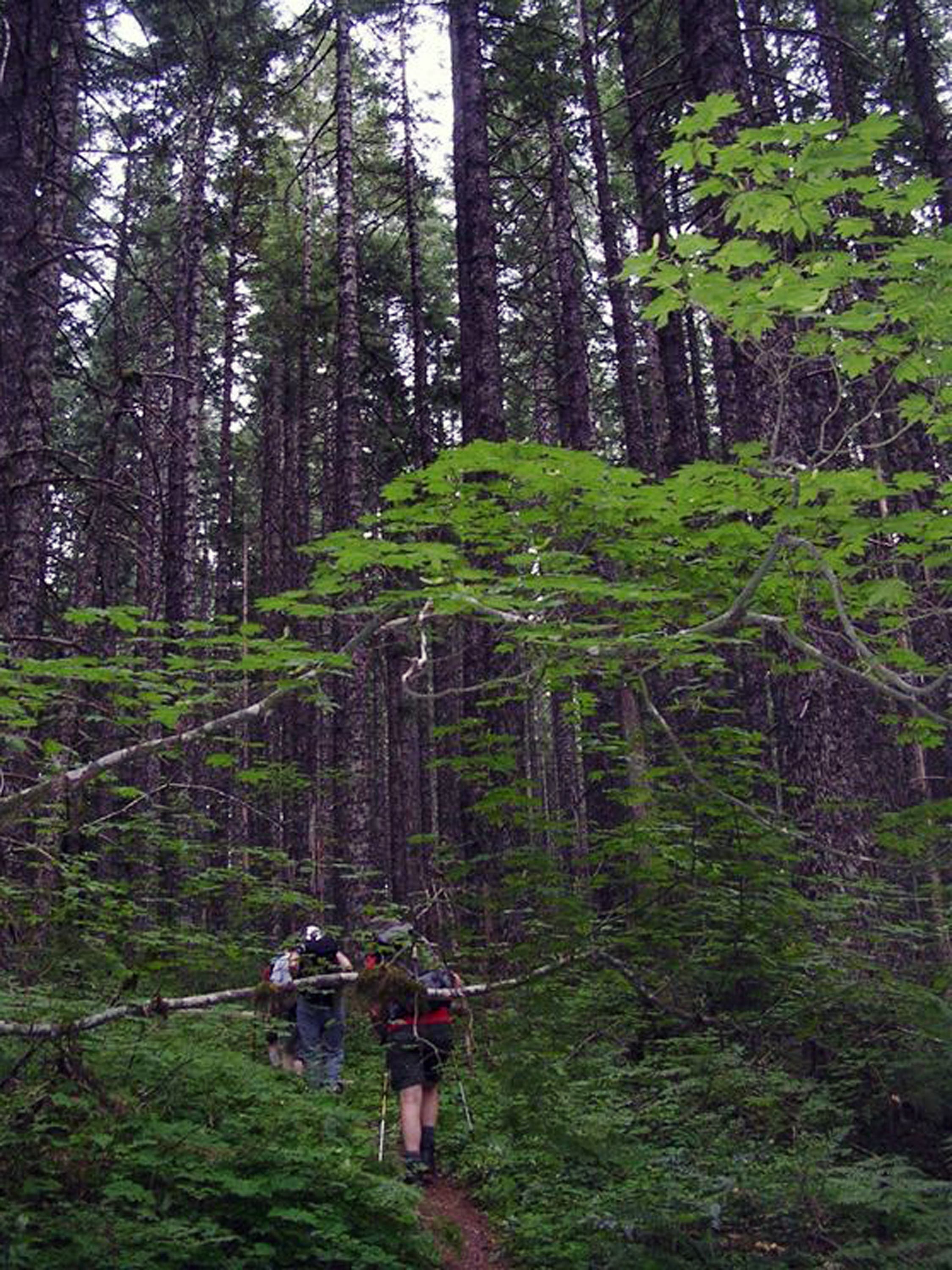
Ascent to Dublin Lake
Location: 45.6222019, -121.9260979
©Trung Q. Le
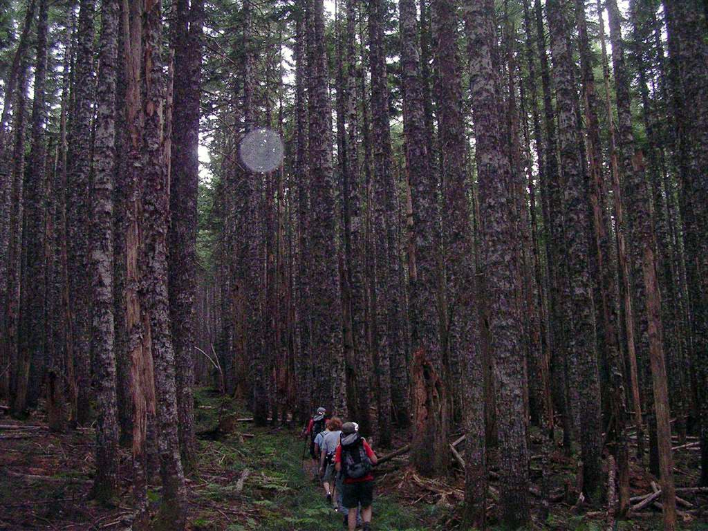
Trail to Dublin Lake
Location: 45.6101949, -121.9214201
©Trung Q. Le
Dublin Lake
Location: 45.5996866, -121.9103909
©Trung Q. Le