Portland, OR: Devils Peak Lookout via Hunchback Mountain Trail

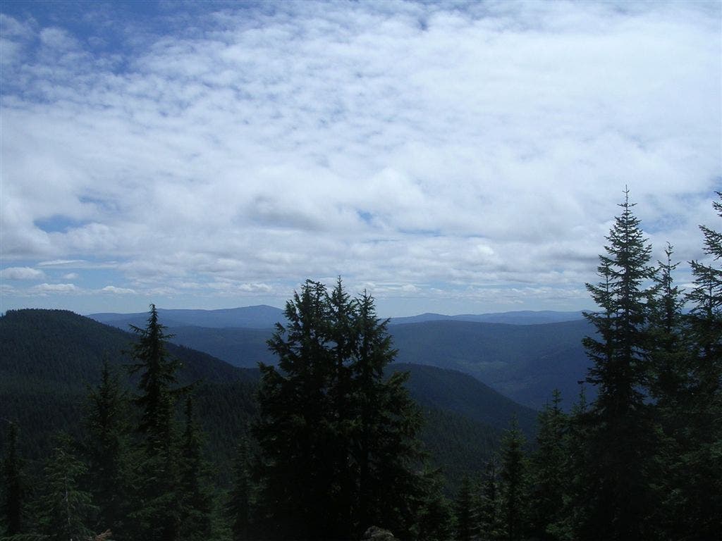
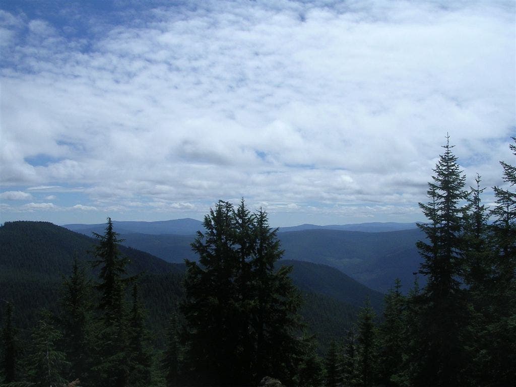
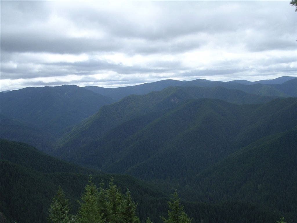
From Zigzag Ranger Station’s main parking lot, walk to the dirt parking area to access Hunchback Mountain Trail. Almost immediately, the trail passes a pond with a cascading waterfall and starts a steep, switchback climb up Hunchback Mountain. The trail crests Hunchback’s ridgetop after 1.6 miles and winds to the southeast, passing numerous scramble trails. If you have the time, follow these side trails to viewpoints (nicknamed The Rockpile, The Helispot, and The Great Pyramid) overlooking the Salmon-Huckleberry Wilderness valley and Zigzag Mountain.
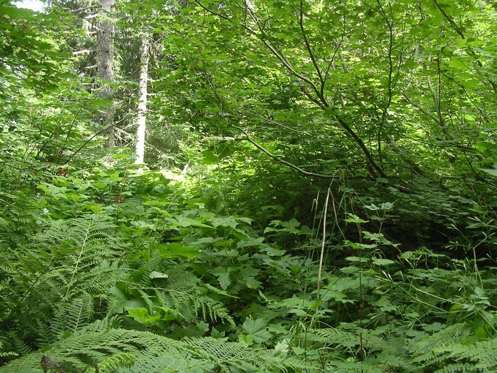
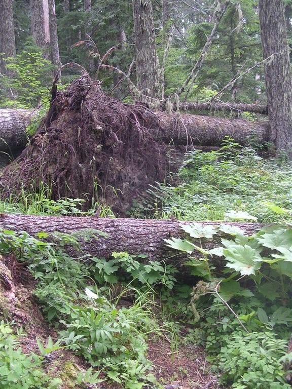
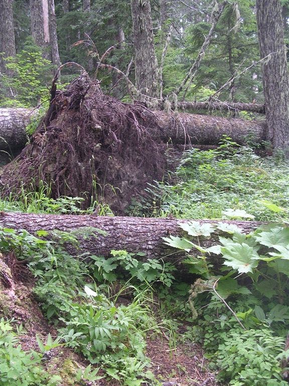
After 4.4 miles, the route continues to follow the ridgeline for a steep descent on an overgrown trail—prepare to maneuver over (and under) large, downed trees. Overgrown plants and bushes also crowd the path, making sections of the trail hard to find and navigate. At mile 8.2, bear right at the T-intersection onto Hunchback Mountain Trail for a 100-foot stretch to Devils Peak Lookout Tower. (Look through the trees to find views of Mount Hood to the northeast.) Spend the night in the tower’s small cabin (first come, first serve; sleeps 2 people comfortably), or turn around and follow the same route back to the trailhead.
-Mapped by Trung Q. Le
TO TRAILHEAD: I-84 E to exit 13. Turn right onto NE 181st Ave. In 1.3 miles, turn left at E. Burnside St. In 4.1 miles, continue straight onto US 26. In 2.6 miles, continue straight on OR 26. In 7.1 miles, continue straight on Pioneer Blvd./US 26. In 0.7 mile, continue straight on OR 26 (toward Zigzag, OR). In 16.8 miles, turn right for parking at Zigzag Ranger Station.
Trail Facts
- Distance: 13.2
Waypoints
HBM001
Location: 45.3419838, -121.9406052
From Zigzag Ranger Station’s main parking lot, walk to the dirt parking area to access the trailhead. Head southeast on Hunchback Mountain Trail #793.
HMB002
Location: 45.3403282, -121.939621
Pass a seemingly man-made pond that captures the runoff from the creek. The overflow from the pond creates a cascading waterfall. Ahead, the trail climbs steeply for the next few miles under the covering of trees.
HBM003
Location: 45.3327179, -121.9421005
Continue straight on the Hunchback Mountain Trail. An indiscreet scramble trail veers of to the right, offering views of the Salmon-Huckleberry Wilderness valley below. From here, the trail travels on the east side of the Hunchback Mountain ridge. The terrain flattens slightly, but prepare for occasional steep descents that are followed by even steeper ascents. Views are scarce along this section (trees hide views to the east, while the ridge blocks views to the west).
HBM004
Location: 45.3314857, -121.939415
Continue straight on the Hunchback Mountain Trail. On the left, a scramble trail leads up to a viewpoint of Zigzag Mountain to the north-northeast.
HBM005
Location: 45.3289299, -121.9368515
Continue straight on the Hunchback Mountain Trail. On the left, another scramble trail leads up to a viewpoint of Zigzag Mountain to the north-northeast.
HBM006
Location: 45.3266563, -121.9327164
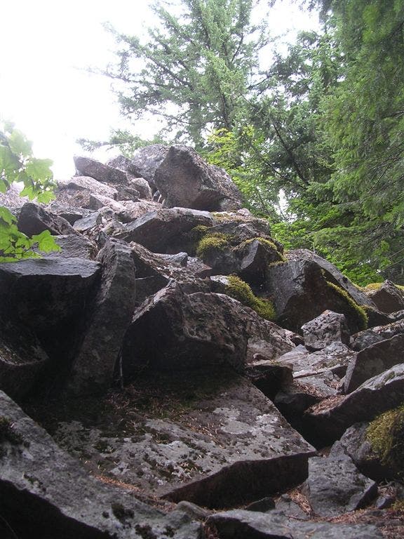
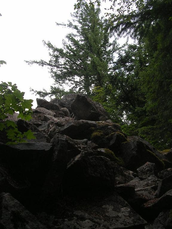
Continue straight @ 3-way junction on the main trail. Viewpoint: Turn right and hike up a steep scramble trail to “The Rockpile,” a large mound of boulders. Scramble up the boulders for views across the treetops to Zigzag Mountain. Next, retrace steps to Waypoint 6 and turn right.
HBM007
Location: 45.3255234, -121.9329376
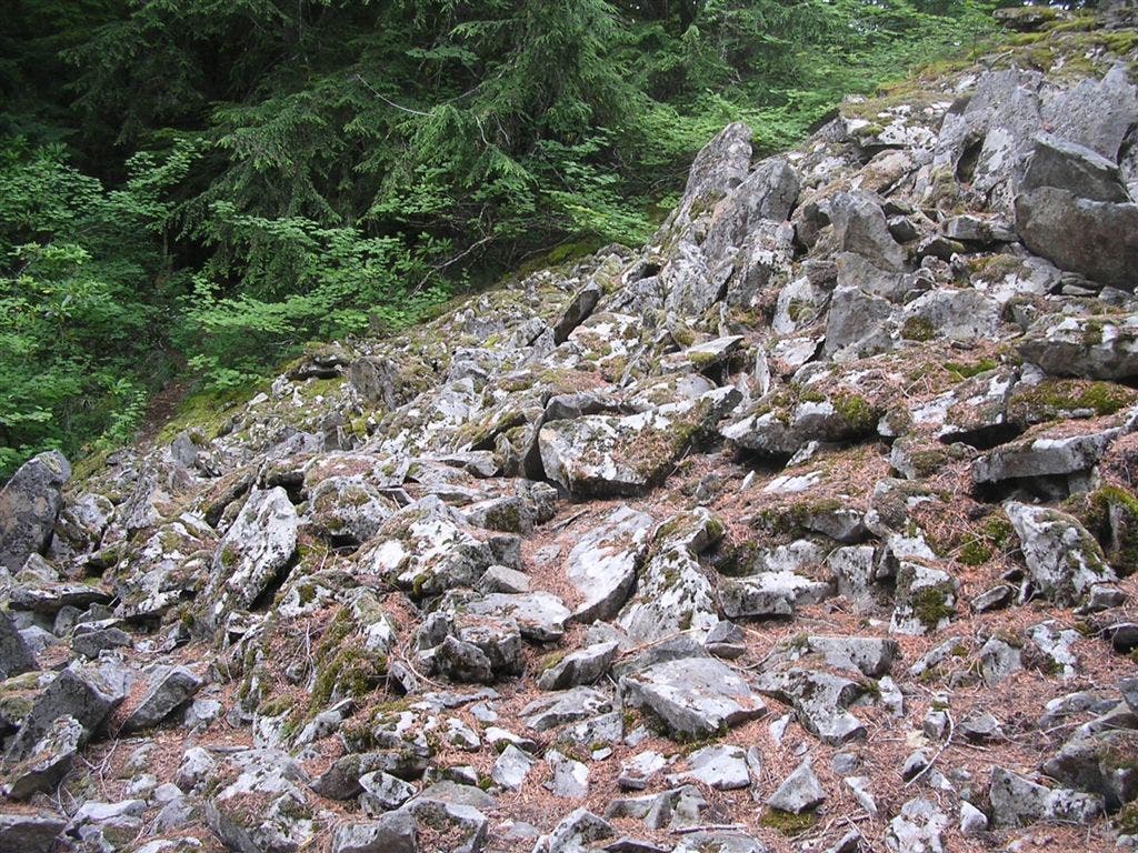
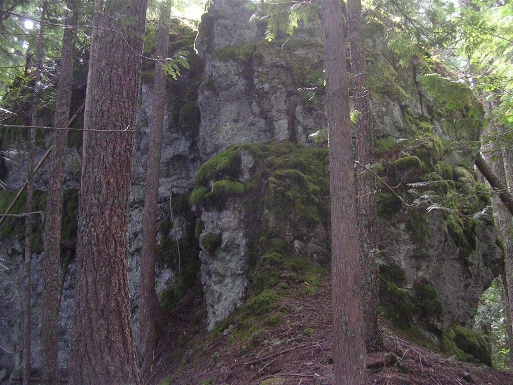
The trail traverses a rock garden (the overflow from The Rockpile above).
HBM008
Location: 45.311924, -121.9255753
Continue straight on Hunchback Mountain Trail. Optional: Bear right @ 3-way on a long, steep scramble trail that leads to The Helispot, a viewpoint overlooking the Salmon-Huckleberry Wilderness valley below. Note: It may be best to save this scramble trail for the return trip.
HBM009
Location: 45.2985497, -121.9196243
Continue straight on the Hunchback Mountain Trail. A scramble trail to the right leads 200 yards to a viewpoint called The Great Pyramid, offering more views of the Salmon-Hucklebery Wilderness below. Next, prepare for a steep descent down the ridge. From this point, the trail is not heavily used and not very well maintained–you’ll have to maneuver over (and under) large, downed trees. Overgrown plants and bushes also crowd the path, making sections of the trail hard to find and navigate. Note: This is the traditional turnaround point for those hikers looking to climb up to Hunchback Mountain.
HBM010
Location: 45.2839813, -121.9066925
Continue straight. (Green Canyon Way Trail on the right leads down to Green Canyon Campground, the Salmon River, and the Salmon River Trail.)
HBM011
Location: 45.2762985, -121.8927994
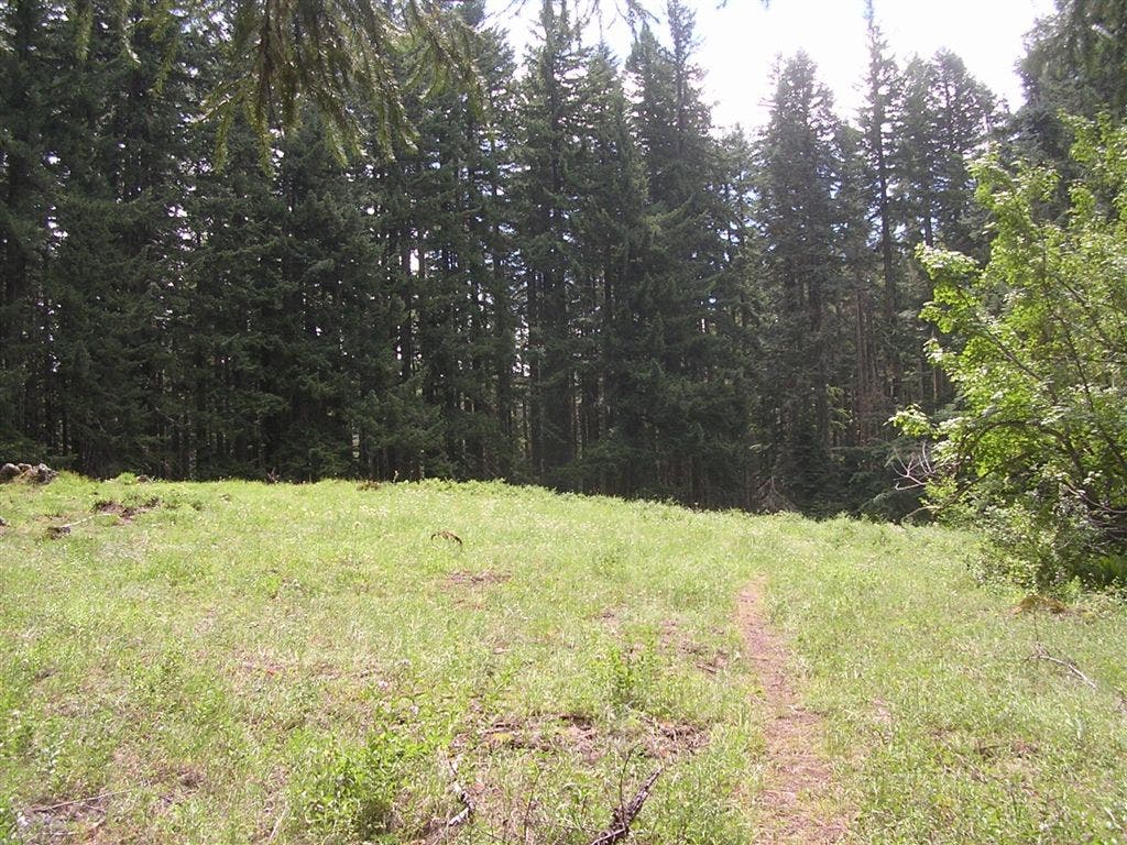
The trail enters a small meadow, sprinkled with vibrant-colored, seasonal wildflowers. Ahead, the trail re-enters the woods for 100 yards, then crosses through another meadow.
HBM012
Location: 45.2650795, -121.8785172
Pass a primitive campsite with a fire ring. This camping spot doesn’t offer any views, but there is plenty of downed wood for the fire. Although a sign says that water is available here, you’ll have to follow a side trail down to the creek to filter water.
HBM013
Location: 45.2645302, -121.8763885
Bear right @ T-intersection on Hunchback Mountain Trail–Devils Peak Lookout Tower is only 100 feet away. To the left, the Cool Springs Trail intersects with Hunchback Mountain Trail.
HBM014
Location: 45.2639885, -121.8757858
Devils Peak Lookout Tower: This lookout tower rises above the Devils Peak summit. Look through the trees to find views of Mount Hood to the northeast. Spend the night in the tower’s small cabin (first come, first serve; sleeps 2 people comfortably), or turn around and follow the same route back to the trailhead.
The Rockpile
Location: 45.3266253, -121.9323206
©Trung Q. Le
Rock Garden
Location: 45.3254787, -121.9324493
©Trung Q. Le
Rock Structure
Location: 45.3186592, -121.9294024
©Trung Q. Le
Mossy Boulder
Location: 45.3149172, -121.9270849
©Trung Q. Le
View of Salmon-Huckleberry Wilderness
Location: 45.311175, -121.9254112
©Trung Q. Le
View of Salmon-Huckleberry Wilderness
Location: 45.3108732, -121.9252396
©Trung Q. Le
Large Rock Formations
Location: 45.3045349, -121.9216347
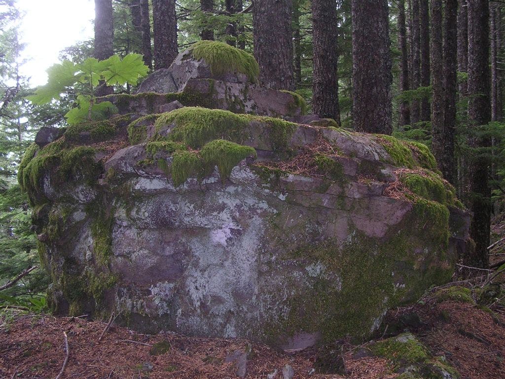
There are quite a few of these rock structures throughout the Hunchback Mountain Trail. ©Trung Q. Le
View from Great Pyramid Overlook
Location: 45.2984978, -121.9192743
©Trung Q. Le
Overgrown Trail
Location: 45.2973204, -121.9163132
After descending from the Great Pyramid intersection, the trail becomes very overgrown and difficult to find. ©Trung Q. Le
Downed Trees
Location: 45.2949959, -121.9113779
©Trung Q. Le
Downed Trees
Location: 45.293728, -121.9096184
©Trung Q. Le
Open Meadows
Location: 45.27543, -121.8927097
©Trung Q. Le