Portland, OR: Crosstown Trail (Winter Route)

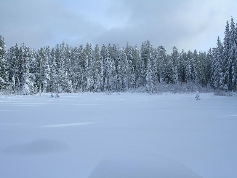
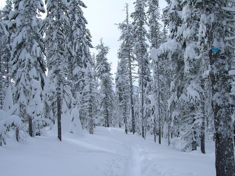
Swap your hiking boots for cross country skis and snowshoes during the winter months to take advantage of Oregon’s plethora of Sno-Parks (plowed parking areas near groomed and backcountry trails). This 6-mile out-and-back—located near the foot of Mount Hood—links two Sno-Parks and travels beneath a canopy of snow-draped trees.
From the Glacier View Sno-Park, roughly 1 mile west of Government Camp, follow the snowy Crosstown Trail east, passing two side trails to Enid Lake. After 0.7 mile, cross a creek on two successive foot bridges, then glide northeast through a white forest. After 1.6 miles, continue straight on Crosstown Trail at the junction. Less than a mile later, continue straight on Crosstown Trail at another junction. From here, it’s a 0.7-mile stretch to the turnaround point at Summit Sno-Park.
MORE INFO: Oregon Sno-Parks
-Mapped by Trung Q. Le


Trail Facts
- Distance: 4.9
Waypoints
DPL001
Location: 45.2956238, -121.8832092
Trailhead. Located obscurely across from the pullout parking lot. Look for Cool Creek Trail.
DPL002
Location: 45.2710114, -121.8756256
Continue right on the Cool Creek Trail. Left leads to a small overlook of the valley below.
DPL003
Location: 45.2684975, -121.8742981
Continue straight on Cool Creek Trail. Left will lead to a small overlook.
DPL004
Location: 45.2649155, -121.875412
Cool Creek Trail intersects Hunchback trail. Continue Right on Hunchback Trail.
DPL005
Location: 45.2645836, -121.8762665
Continue straight towards Devils Peak Lookout. Right will continue on Hunchback Trail
DPL006
Location: 45.2641983, -121.8758087
Devils Peak Lookout.