Portland, ME: Twin Summit Loop

'Paul VanDerWerf'
Trail Facts
- Distance: 7.8
Waypoints
TSL001
Location: 44.2164993286133, -69.0699996948242
Take blue-blazed Mt. Battie Trail over boulder-strewn path
TSL002
Location: 44.2232666015625, -69.0702514648438
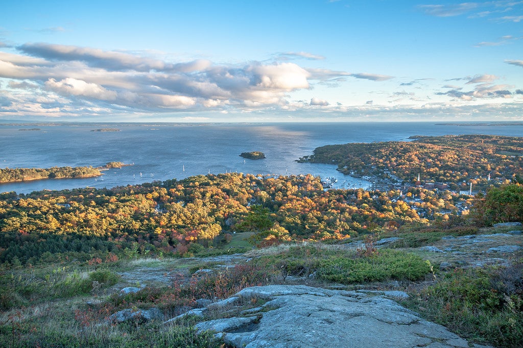
Mt. Battie (800 ft.): Neck-twisting views of Penobscot Bay to E; descend NE on narrow, rocky Tablelands Trail
TSL003
Location: 44.2287330627441, -69.066535949707
Veer L, bearing N onto Tablelands Trail
TSL004
Location: 44.2314491271973, -69.0655364990234
Continue straight on Tablelands Trail; begin climb of Mt. Megunticook up stone staircase past rock field littered with glacial erratics
TSL005
Location: 44.2354507446289, -69.0616683959961
Stay on Tablelands Trail to R of wall; climb up exposed rock slabs
TSL006
Location: 44.2371482849121, -69.0627822875976
Ocean lookout with breathtaking sweep of jagged coastline and many islands. At junction, continue on ridge, following root-laced Ridge Trail into dense pines
TSL007
Location: 44.2412986755371, -69.0671310424805
Mt. Megunticook (1,385 ft.) marked by 4-ft. cairn; turn R and head NE on blue-blazed Slope Trail for steep, 1.5-mi. descent into mossy forest
TSL008
Location: 44.2517166137695, -69.061279296875
Cross Spring Brook on bridge and find renovated wooden hut (camping allowed with permit); to hike on, follow multiuse trail NW for 300-ft. climb
TSL009
Location: 44.2555503845215, -69.063850402832
Turn L onto Zeke’s Trail to traverse wide, rocky drainage into thick forest of stunted pines
TSL010
Location: 44.2474822998047, -69.0767517089844
L onto Ridge Trail for views W of Megunticook Lake and E of Atlantic; continue to beech-blanketed ridge
TSL011
Location: 44.241283416748, -69.0675659179688
Close loop, backtrack to car via Mt. Megunticook and Mt. Battie