Published September 20, 2013 03:17PM
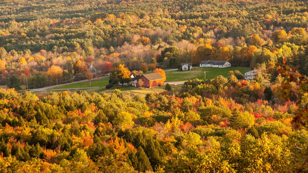
Portland, ME: Bradbury Mountain State Park Loop
This 3-ring loop circles through forest and alongside stone walls to the park's namesake summit, offering lots of Kodak moments-especially in autumn.
'Paul VanDerWerf'
Trail Facts
- Distance: 9.2
Waypoints
BMT001
Location: 43.9003486633301, -70.1793975830078
Bear R onto Knight Woods Loop Trail; follow path past oak, hemlock, and eastern white pine
BMT002
Location: 43.8929176330566, -70.1782989501953
Turn R onto connector trail, then L onto Snowmobile Trail; look for black-capped chickadees, red squirrels, and white-tailed deer
BMT003
Location: 43.8953666687012, -70.174186706543
Bear R; ahead, turn R onto Fox Run Trail (rocky, root-laced route through forest and bog)
BMT004
Location: 43.896167755127, -70.1611175537109
Continue straight through pine grove
BMT005
Location: 43.8991012573242, -70.1649322509766
Take a break on the log tree bench @ junction; continue straight on Fox Run Trail
BMT006
Location: 43.8963661193848, -70.172248840332
Turn R onto Snowmobile Trail, then turn R again onto Link Trail for .3 mi. to ME 9; cross road and return to parking lot to end hike, or continue to WPT 7
BMT007
Location: 43.900333404541, -70.1786346435547
Follow Northern Loop Trail past feldspar quarry on L
BMT008
Location: 43.9057998657227, -70.176513671875
ADVERTISEMENT
Continue straight; bear R onto Boundary Trail; path parallels a stone wall through hemlock forest and past a vernal pool
BMT009
Location: 43.9082984924316, -70.1849822998047
Trail climbs through pines; lots of feldspar (white rocks) underfoot
BMT010
Location: 43.9018669128418, -70.1848297119141
Turn L to Bradbury Mtn. Views from top: forested country, Eagle Island, Atlantic Ocean. Retrace steps to Boundary Trail, then head S on South Ridge Trail
BMT011
Location: 43.9008178710938, -70.1851654052734
Follow path along ridge to rock outcropping; find hidden red blaze on tree to R of rock slab; follow trail back to lot