Pittsburgh, PA: Greene River Trail

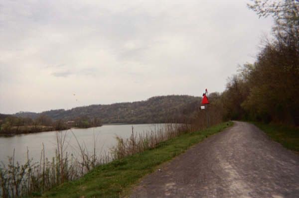
Pack a lunch for this 10.3-mile out-and-back outside Pittsburgh, or just stash a car in Crucible, PA to shorten this trip to a 5.4-mile shuttle. Starting from the Greene Cove Yacht Club in Millsboro, walk east along Ten Mile Creek until it meets the Monongahela River; there, the Greene River Trail heads south along the river banks past a rundown steel mill, coal barges, tall piles of slate, and clusters of white birch trees. Despite remnants of Pittsburgh’s industrial imprint, this trail wanders through an idyllic, natural setting, evoking a sense of calm that’s absent further north where the Monongahela meets the Ohio and Allegheny Rivers in downtown Pittsburgh. -Mapped by Mike Ciccone
Trail Facts
- Distance: 16.6
Waypoints
GRT001
Location: 39.9832801818848, -80.0063171386719
From the northern trailhead at Greene Cove Yaught Club. Start following the trail that heads east alongside Ten Mile Creek (on the left).
GRT002
Location: 39.9828300476074, -80.0028610229492
Turn right down an old railroad grade at the confluence of Ten Mile Creek and the Monongahela River. On the right side of the trail, there are signs naming various trees. From here the trail runs south along the Monongahela (which runs north to join the Ohio in downtown Pittsburgh).
GRT003
Location: 39.9806900024414, -80.0070724487305
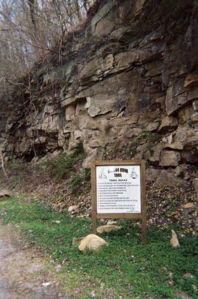
The trail passes a landslide on the right that deposited a collection of sandstone boulders.
GRT004
Location: 39.9698295593262, -80.012336730957
Pass an old abandoned steel mill on the right. Ahead, the trail wanders through remnants of Pittsburgh’s industrial past and present mixed into a natural setting. You may hike past coal barges on the river one minute and through a white birch tree cluster the next.
GRT005
Location: 39.9573211669922, -80.0097427368164
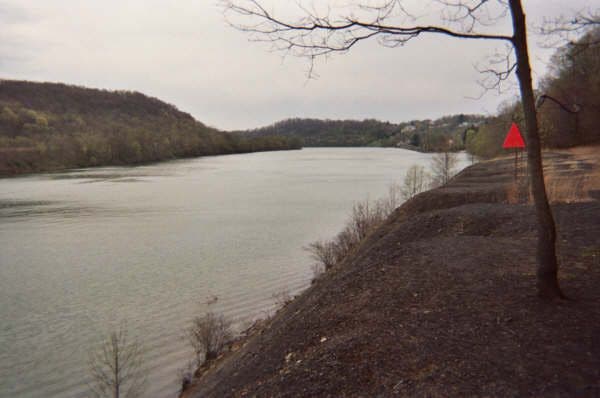
A small side trail on the left leads right to the edge of the Monongahela River.
GRT006
Location: 39.9566307067871, -80.0094375610352
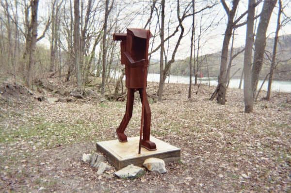
To the right, a sculpture of a hiker adorns the trail.
GRT007
Location: 39.9520988464356, -80.0047836303711
The trail runs through the small historic town of Rices Landing. This is another access or turnaround point for this hike.
GRT008
Location: 39.9489593505859, -79.9991836547852
Continue straight across Main Street in Rices Landing.
GRT009
Location: 39.9484214782715, -79.9868621826172
The trail passes some abandoned blue warehouses on the right. A fence blocks your view of the river on the left.
GRT010
Location: 39.9496002197266, -79.9836730957031
At mile 4, continue straight across a road that leads to the warehouses.
GRT011
Location: 39.9504432678223, -79.9815444946289
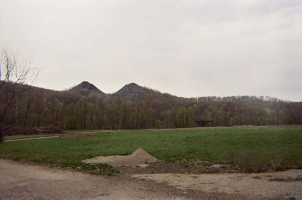
The trail runs parallel to River Road (on the right). Look left to the Monongahela for two giant slag piles reminiscent of mountain peaks in the Rockies.
GRT012
Location: 39.9523696899414, -79.9752426147461
The trail crosses some pavement. To the left: More slag piles. Ahead: White birch trees line the path.
GRT013
Location: 39.9529991149902, -79.9618682861328
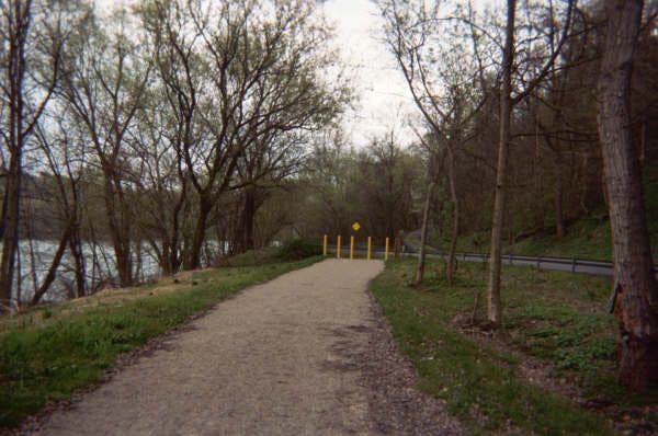
The far end of the Greene River Trail is marked by 5 brightly painted yellow poles and a guard rail. Turn around to retrace your steps to the northern trailhead.
The Northern Trailhead
Location: 39.9832725524902, -80.0061492919922
The Monongahela River
Location: 39.9828414916992, -80.0027847290039
Views of the River
Location: 39.9576034545898, -80.0100708007812
Trail Art
Location: 39.9561996459961, -80.0091400146484
Slag Piles
Location: 39.9506416320801, -79.9809799194336
Trail Terminus
Location: 39.953010559082, -79.9617156982422