Pittsboro, NC: Vista Point

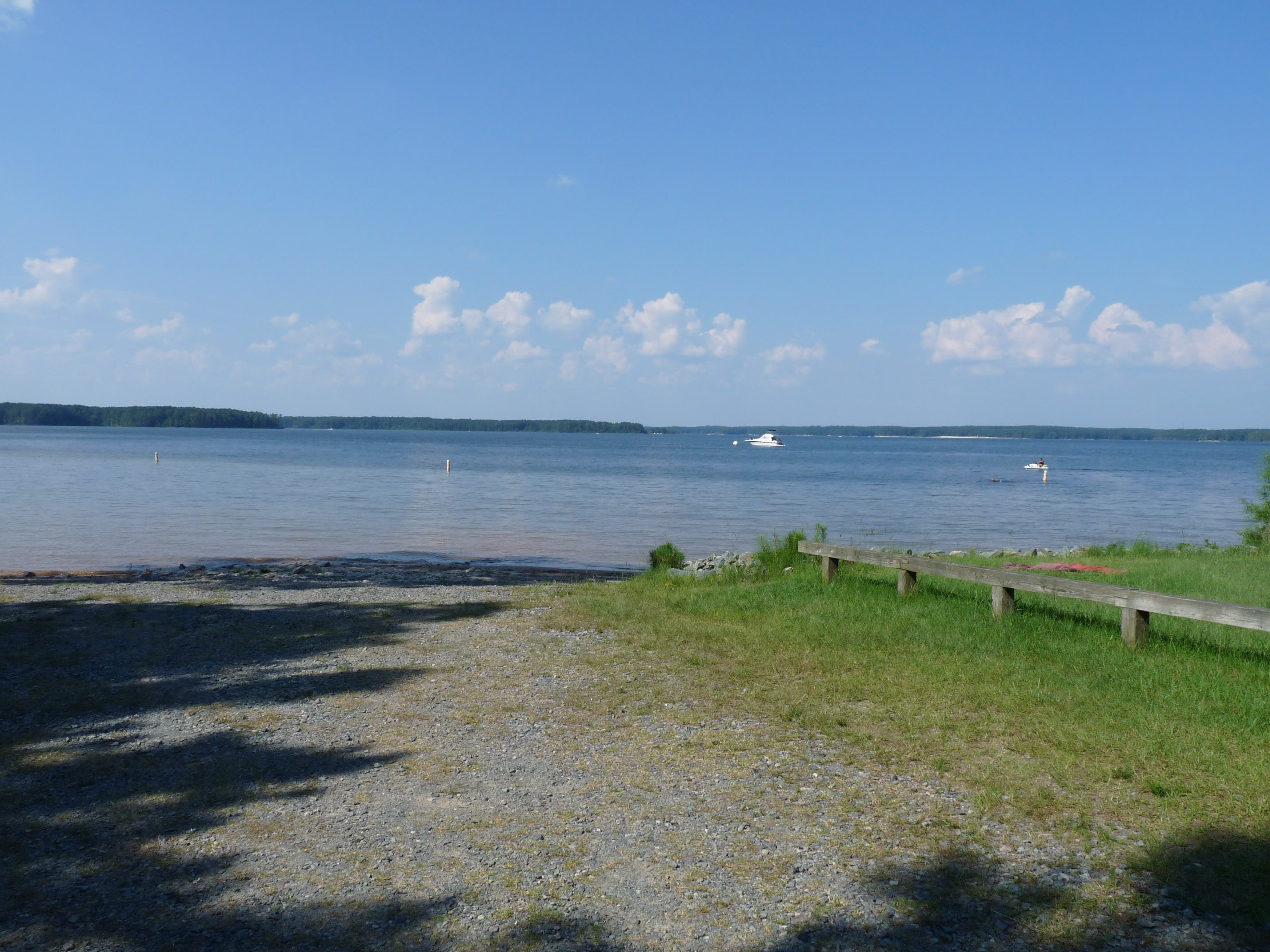
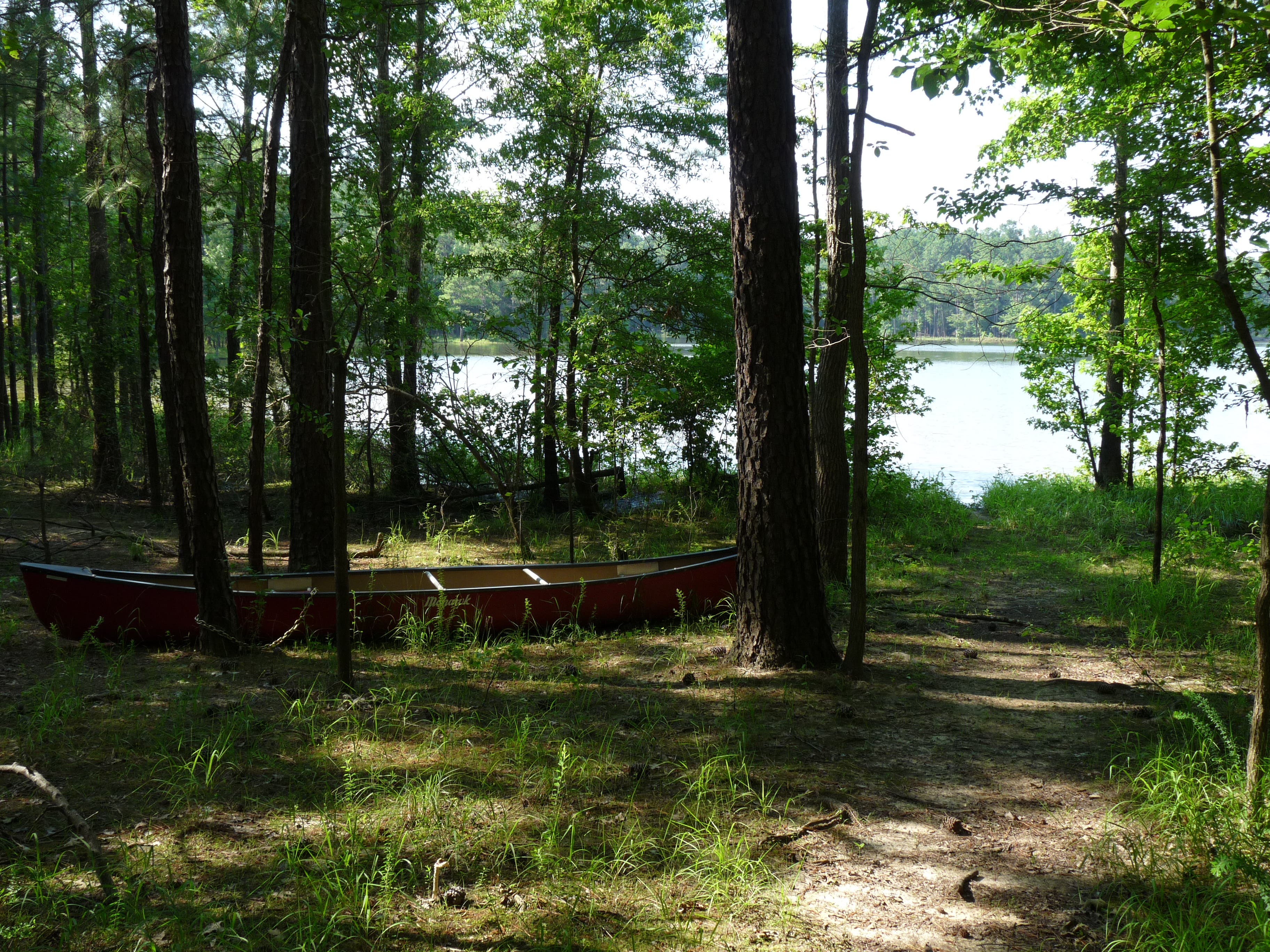
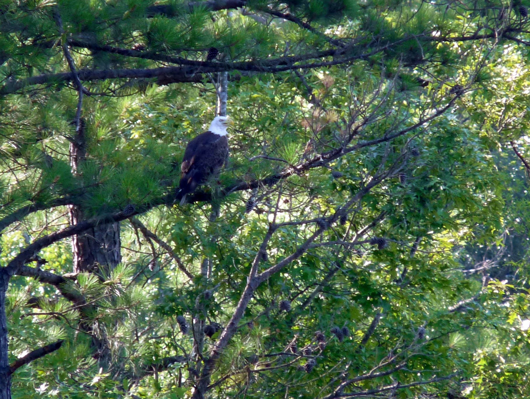
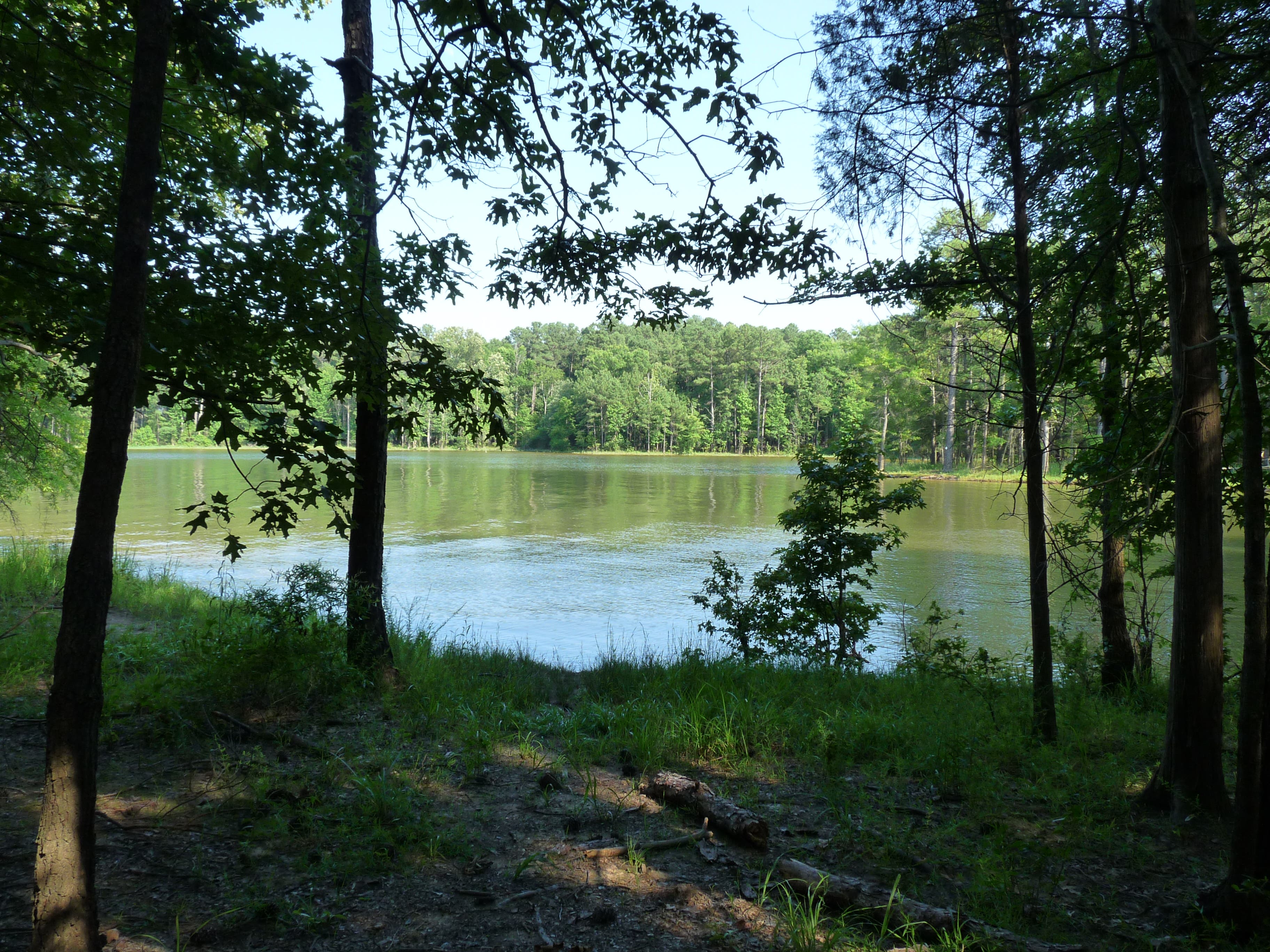
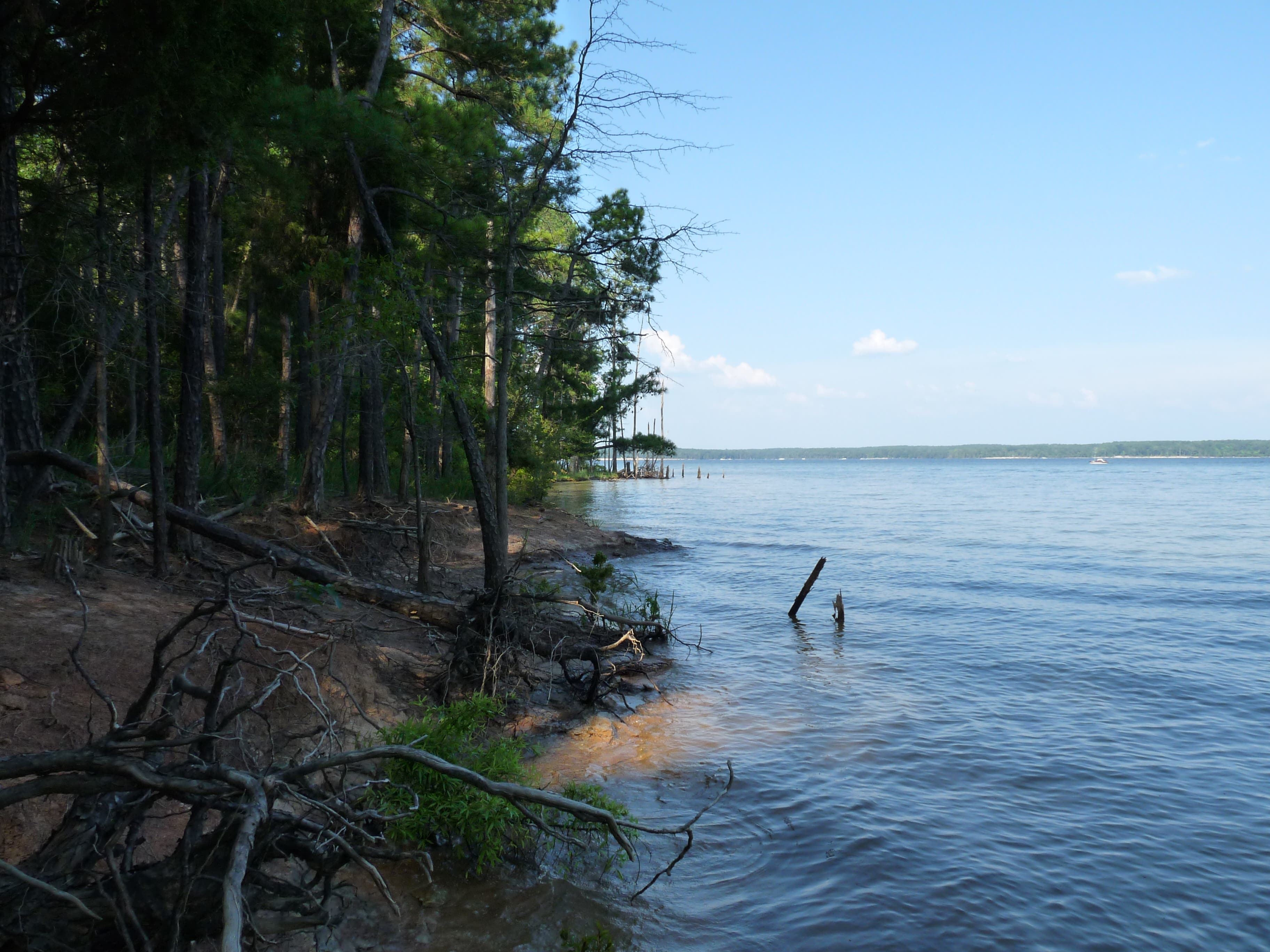
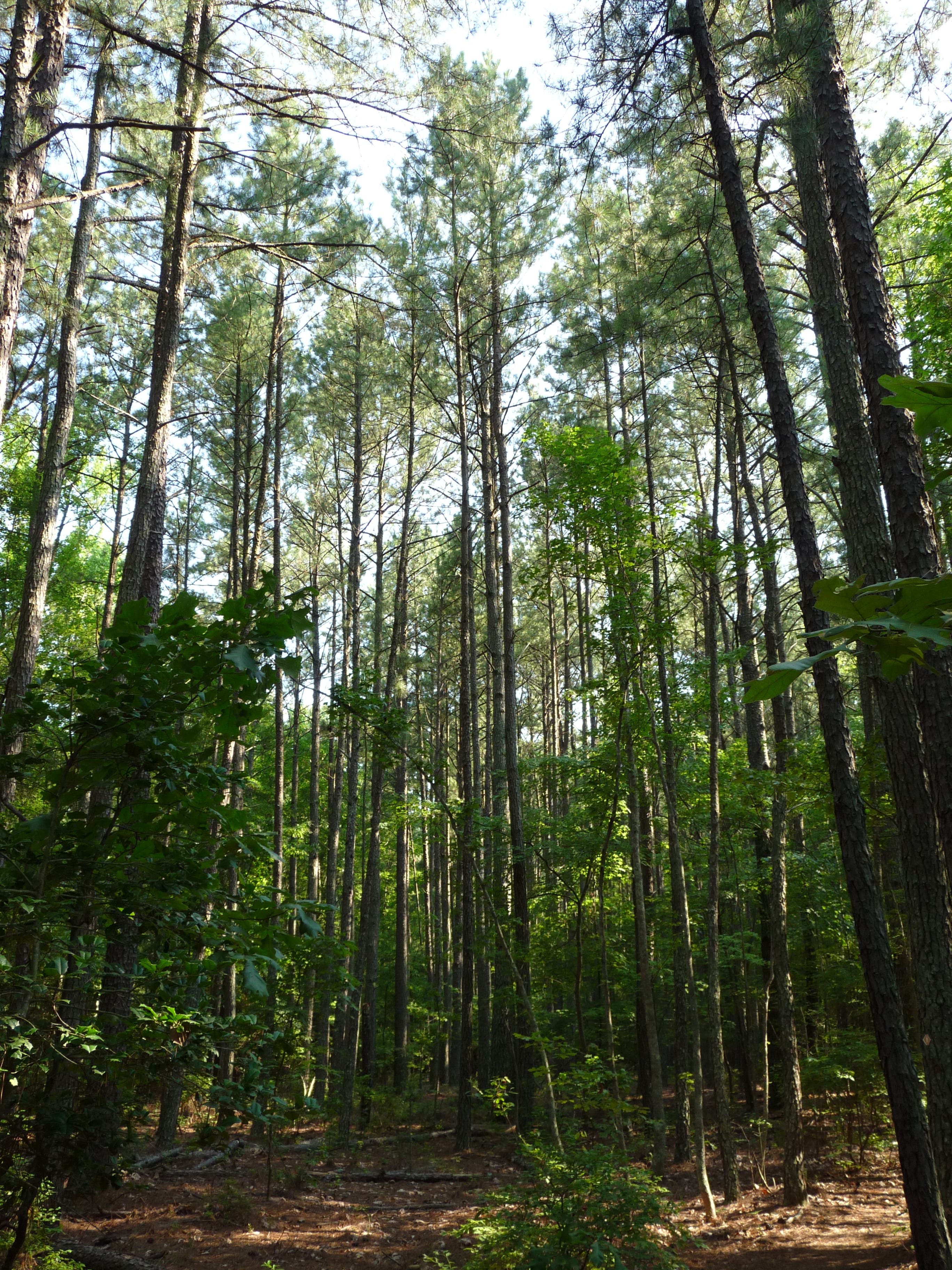
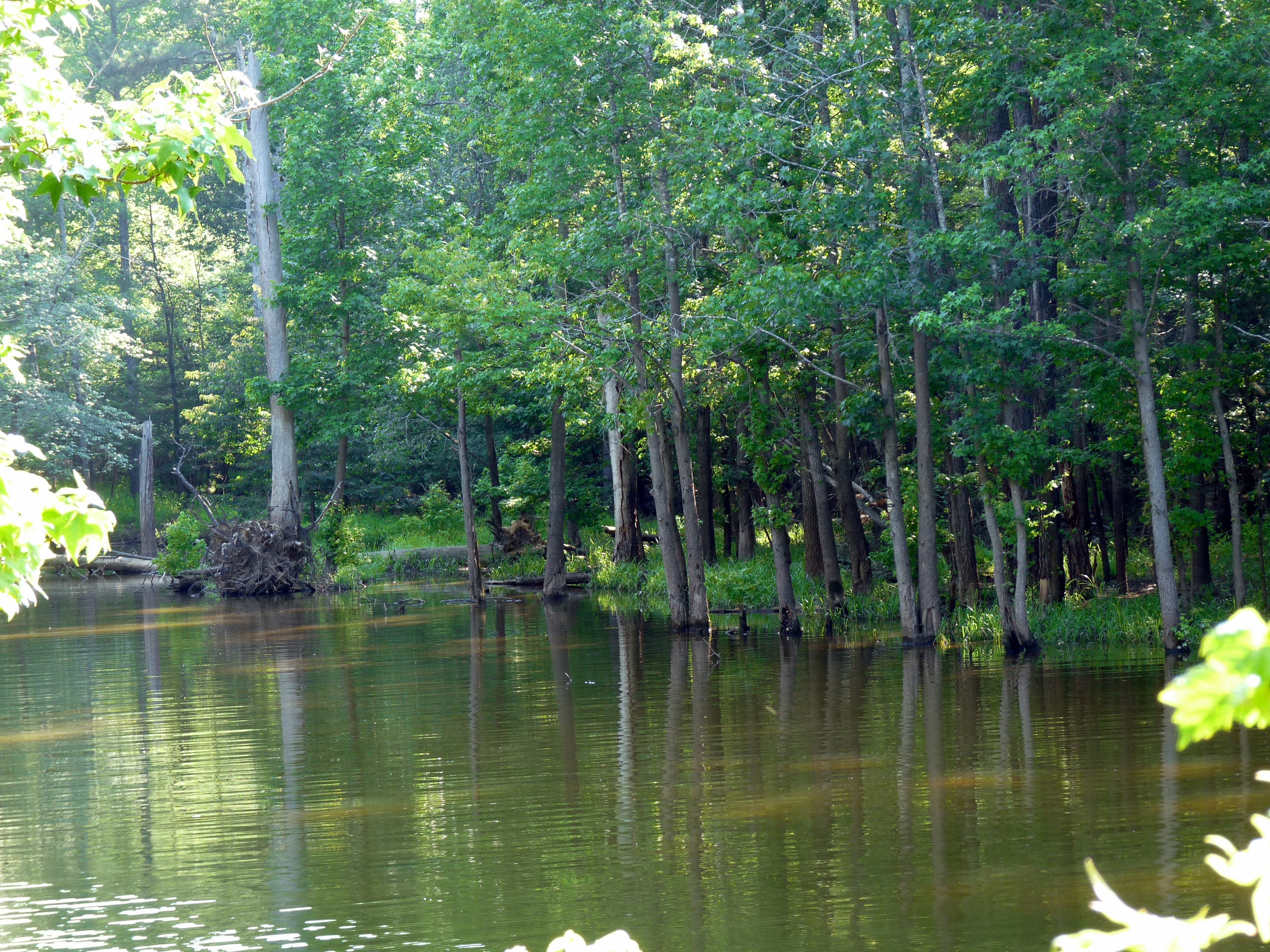
Stroll through tall pines and along sandy paths on this 3-mile loop in Jordan Lake State Recreation Area near Pittsboro, NC. Offshoots from the Vista Point Trail lead to quiet coves on the lake’s edge and lookout points where you can enjoy the glint of the sun on the water and look for wildlife. Spotting a bald eagle or three is not uncommon, as this area hosts one of the largest bald eagle populations in the eastern U.S.
To find the trailhead, follow the path past the bathrooms next to the parking lot. Walk through a large picnic pavilion to find the trailhead just on the other side. The trail heads north and west to start, following the waterline. Not many people frequent this trail so you’ll find peace and quiet, along with some downed trees and overgrown brush. Look for the blazes on the trees to keep track of the trail.
After half a mile, you’ll pass a campground on the left. Shortly thereafter, look for an offshoot on the right leading to a cove. Many bald eagles nest and hunt in this area so be sure to have binoculars close at hand.
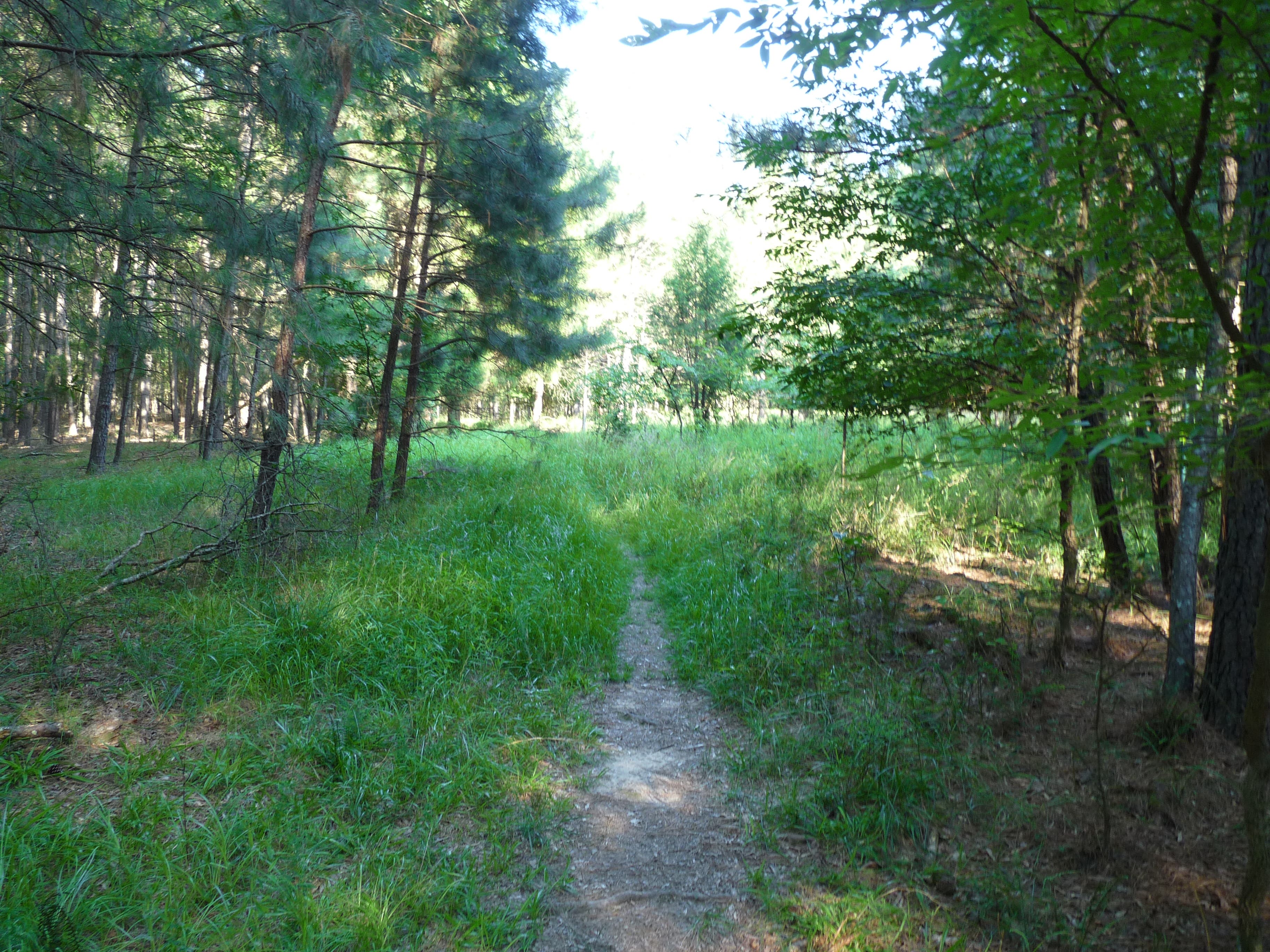
Continue along the path, made soft by the pine-needle covering. At mile 1.5, the trail curves left and begins heading home. Go .3 miles and look for another spur from the trail. Follow it to a bench and the quietest, most removed cove of the hike.
Return to the main trail and meander past thin pine trees and tall grass. Turn left at Pea Ridge Rd and walk the remaining hundred yards to your car.
-Mapped by John Thomas
Trail Facts
- Distance: 4.8
Waypoints
VPT001
Location: 35.704293, -79.048514
Begin your hike heading north and west toward the water. From the parking lot, go up a path past a large picnic pavilion in order to find the trailhead.
VPT002
Location: 35.70704, -79.051405
At .5 miles, pass by a campground on the left.
VPT003
Location: 35.707144, -79.052178
Just after the campground, look for an offshoot of the trail on the right that leads to a cove. Look for bald eagles and their nests in this area.
VPT004
Location: 35.708782, -79.053551
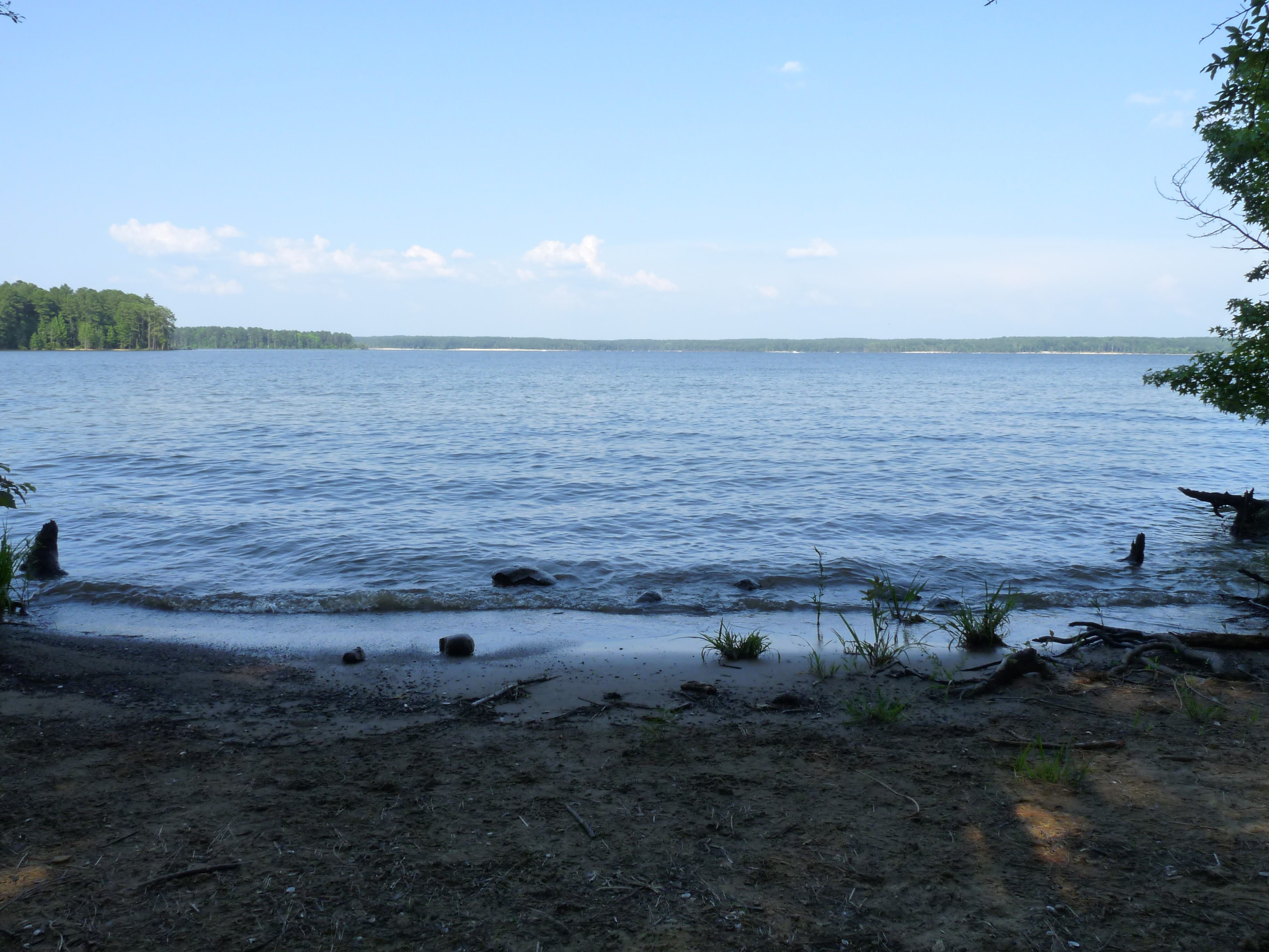
Continue to follow the trail along the water for .2 miles. Another short spur from the trail leads to a bench overlooking a quiet cove.
VPT005
Location: 35.711517, -79.053315
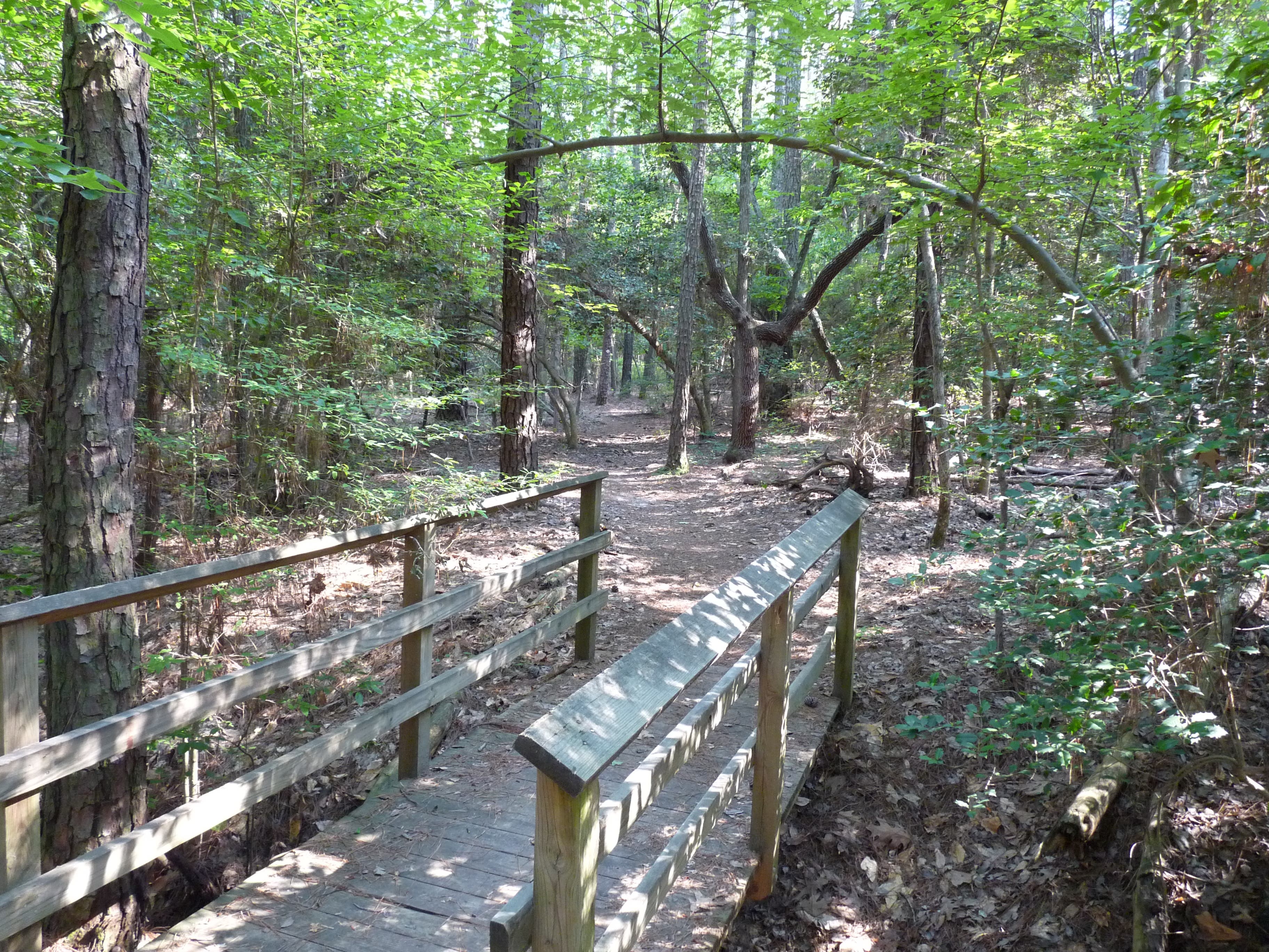
Cross a short wooden bridge over a small gully.
VPT006
Location: 35.713016, -79.050761
Overlooks with wide views of the lake abound here.
VPT007
Location: 35.71603, -79.04898
A bench provides a place to sit and enjoy the view of the lake and a cove just before the trail bears left to head home.
VPT008
Location: 35.713155, -79.053701
At mile 1.8, take the short trail to the right to find a bench and the quietest, most removed cove of the hike. With some time and patience, this spot makes for great birdwatching.
VPT009
Location: 35.705942, -79.053808
The trail leaves the dirt/pine needle path for 20 yards and cuts through through breezy knee-high grass.
VPT010
Location: 35.704879, -79.051663
Turn left on Pea Ridge Rd and follow it to the end to return to your car.
P1030963.JPG
Location: 35.704321, -79.047307
© John Thomas
P1030965.JPG
Location: 35.707127, -79.052027
© John Thomas
P1030970.JPG
Location: 35.707527, -79.052178
© John Thomas
P1030975.JPG
Location: 35.708834, -79.053476
© John Thomas
P1030979.JPG
Location: 35.711482, -79.053293
© John Thomas
P1030985.JPG
Location: 35.712911, -79.050654
© John Thomas
P1030991.JPG
Location: 35.716065, -79.049013
© John Thomas
P1030993.JPG
Location: 35.714531, -79.052027
© John Thomas
P1030996.JPG
Location: 35.713225, -79.054034
© John Thomas
P1030998.JPG
Location: 35.705872, -79.053637
© John Thomas