Phoenix's Top 5 Dayhikes

'Coconino National Forest'
No question: Phoenix is a desert kingdom, and the best trails near the city track into some of the country’s finest red-rock, cacti-studded wildernesses. From plunging canyons to desert oases to the tippy-top of Arizona, here are the premium goods within striking distance for a dayhike.
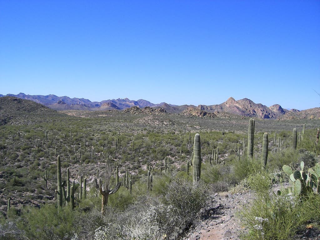
1. Garden Valley Loop
Trailhead: First Water, Superstition Wilderness
Mileage: 5.1 miles
Elevation gain/loss: +310/-530
Drive from downtown Phoenix: 1 hour
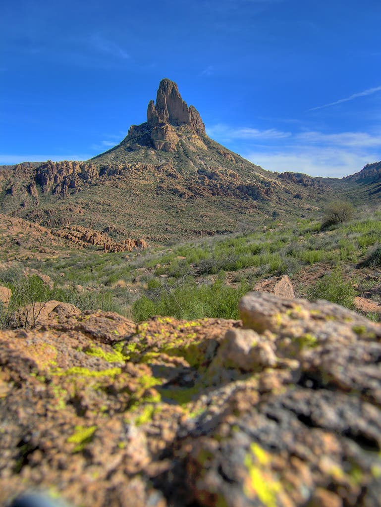
I love this trail because it’s a perfect introduction to the Superstition Wilderness, so it’s often the first place I bring an out-of-town friend. The trail is easy to access, highlights the rugged nature of the Supes range, and visits both historic and prehistoric sites. Add in some narrow and scenic canyons, a perennial spring, and big views of both Four Peaks and Weavers Needle and it’s easy to see why it’s been a longstanding favorite.
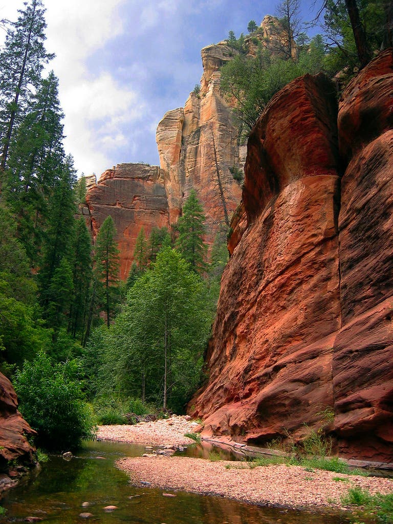
2. West Fork of Oak Creek
Trailhead: Call of the Canyon, Coconino National Forest
Mileage: 8 (round-trip)
Elevation gain/loss: 200ft/200ft
Drive from downtown Phoenix: 2 hours 15 minutes
West Fork is one of the most popular trails in Coconino National Forest and a classic Arizona hike—and for good reason. Any time you combine impressive cliffs, a tight canyon, and flowing water and locate it right near Sedona, you’re going to attract a crowd of hikers. If you haven’t done this trail yet (and you need to brave the crowds at least once), now might be your best bet. Hwy 89A has been under construction for months, so tourist traffic has decreased through Oak Creek Canyon. Still, be sure to arrive early to find a parking space (and bring $10 for the privilege), as this lot traditionally fills by about 9:30 every morning.
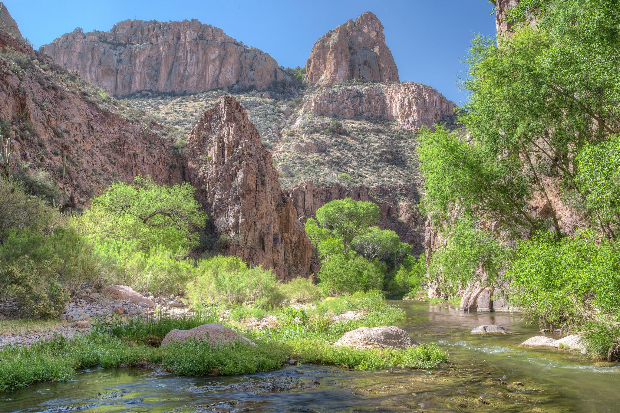
3. Aravaipa Canyon
Trailhead: West Entrance near Brandenburg Ranger Station & Campground
Mileage: up to 11 miles (one-way)
Elevation gain/loss: +/-500 ft
Drive from downtown Phoenix: 2 hours 10 minutes
Aravaipa Canyon is one of those places you’re guaranteed to fall in love with. Often described as the best riparian habitat in the state, this is one of the few Sonoran Desert hikes that involves as much time walking through the perennial Aravaipa Creek as on the dirt trail. Canyon walls tower above shady cottonwood trees while side canyons beckon to be explored. Keep your eyes open for desert bighorn sheep on the cliff faces. The wilderness is tightly control via permit system, so you’ll need to plan ahead.
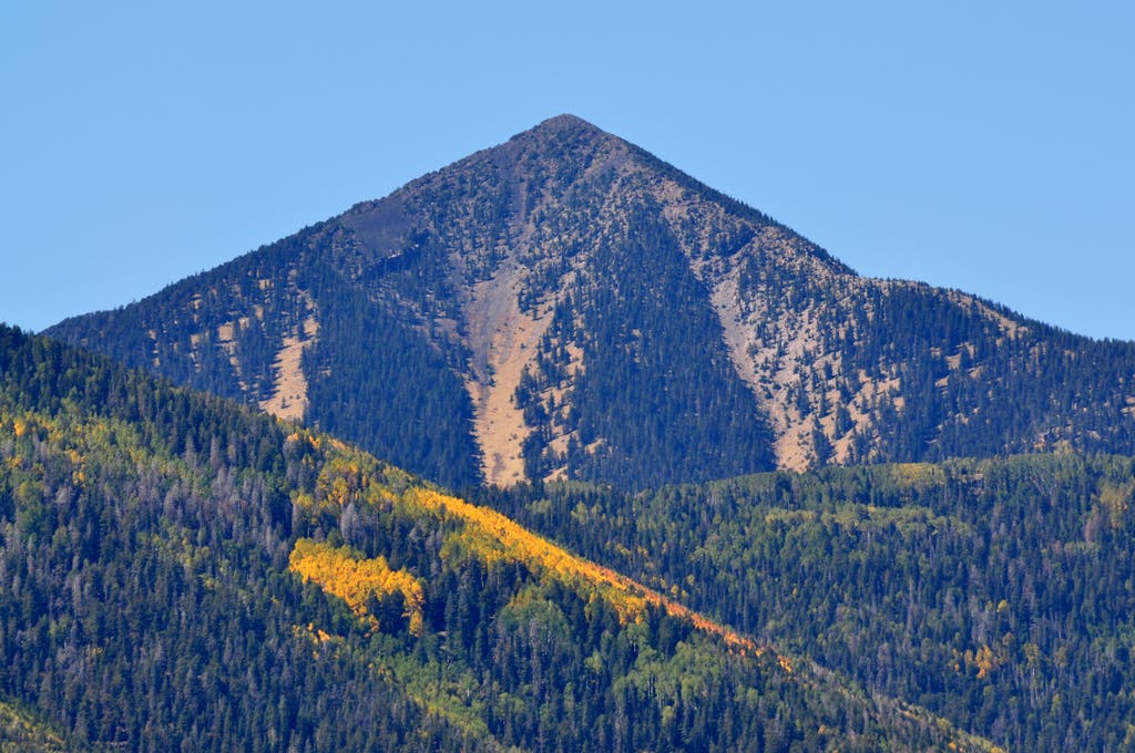
4. Humphreys Peak
Trailhead: Humphreys Trailhead at Arizona Snowbowl
Mileage: 9 (round-trip)
Elevation gain/loss: +/- 3833ft
Drive from downtown Phoenix: 2 hours 35 minutes
The high point of Arizona does not disappoint. Reaching above timberline, the trail passes through the only true alpine habitat in the state. The glorious views—north to the Grand Canyon; south to Sedona, the Verde Valley, and the Painted Desert of Navajoland; and across the volcanic field of Northern Arizona—are unlike any other summit in the state. This route traverses a scenic meadow often covered in summer wildflowers and passing through a thick forest before arriving at the saddle overlooking the famed Inner Basin. From there, you’ll be treated to high winds and sharp, craggy lava rock as you make your way above treeline and towards the summit.
5. Marsh Valley Loop
Trailhead: First Water, Superstition Wilderness
Mileage: 15.4
Elevation gain/loss: +/- 1880 ft
Drive from downtown Phoenix: 1 hour
This is a classic loop that quickly gets you deep into the interior of the wilderness, where you’re treated to magnificent views of Weavers Needle and Aylor’s Arch, as well as broad desert valleys and craggy peaks. But maybe the best part of this trail is passing by so many sites related to the search for the fabled Lost Dutchman’s Gold Mine. You’ll encounter old mining camps, weird claim monuments and markers, and—if you’ve come prepared with some background on the folklore—plenty of side trips to explore, too. This is a long dayhike, so if you’re planning on doing some exploring, check the seasonal water reports and consider an overnight.