Published September 20, 2013 03:23PM
Phoenix: Sterling Pass Trail to Vultee Arch
This 6.4-mile dayhike is a tour de force: You'll be rewarded with magnificent views, an isolated arch, and unusual plant life in Coconino National Forest.
'Alan Levine'
Trail Facts
- Distance: 5.2
- Miles from city center: 122
Waypoints
SPT001
Location: 34.9366912841797, -111.747016906738
From highway, bear W into knee-high chaparral; stiff ascent ahead
SPT002
Location: 34.9361686706543, -111.748184204102
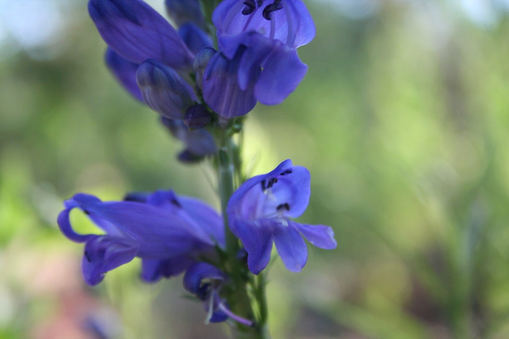
Marked trail crosses seasonal creek; view ridge coated in piñon and juniper, and wild violets and larkspur in season
SPT003
Location: 34.9337005615234, -111.758338928223
Natural cut in ridgewall frames views into the mostly wooded Sterling Canyon; redrock glows on the horizon
SPT004
Location: 34.934253692627, -111.759155273438
Photo op: Stand of dwarf maples near saddle; then it?s a steep, loose, switchback descent into Sterling Canyon
SPT005
Location: 34.9348564147949, -111.760375976562
Trail swings by honeycomb sandstone formations
SPT006
Location: 34.9368515014648, -111.763023376465
Cross seasonal creek; look for spiny lizards scampering on the trunks of piñon and juniper
SPT007
Location: 34.9378471374512, -111.766639709473
Cross dry creek again; it only runs for a short stint after a hard rain
SPT008
Location: 34.9398078918457, -111.769012451172
ADVERTISEMENT
Spur: Turn R for 30-minute hike-scramble on the Vultee Arch Trail; return to main trail and turn R. Caution: rangers recommend not crossing the arch
SPT009
Location: 34.9399681091309, -111.769248962402
Carefully follow cairn across creek
SPT010
Location: 34.9385566711426, -111.779930114746
Bear R @ cairn
SPT011
Location: 34.9368743896484, -111.793197631836
Trail ends @ Vultee Arch trailhead; pick up shuttle or return to car