Phoenix: South Mountain

Trail Facts
- Distance: 21.6
Waypoints
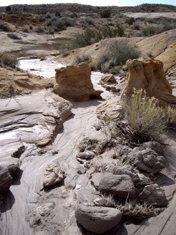
Wash
Location: 33.3466377, -112.080368
Where Box Canyon trail meets the Los Lomitas trail.
©Rich Rudow
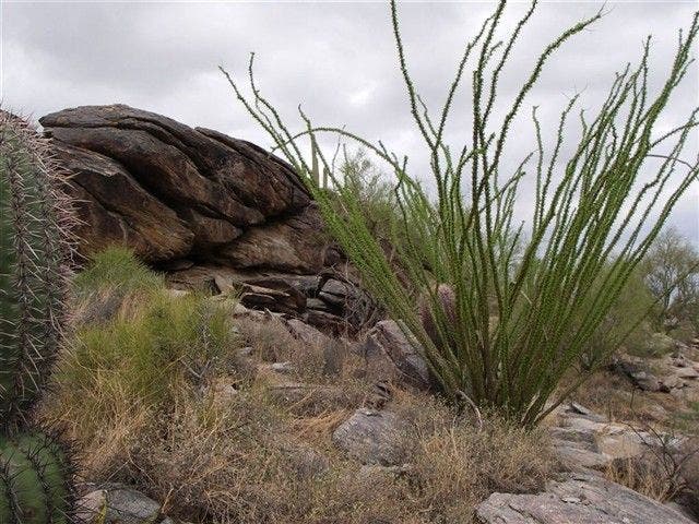
A Blooming Ocotillo
Location: 33.3460197, -112.0573883
Storm clouds darken the horizon.
©Rich Rudow
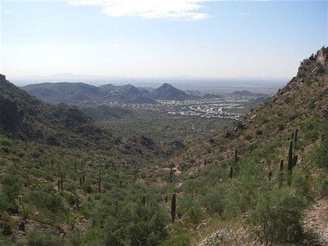
Scenic Point
Location: 33.3282242, -112.0737152
View down Telegraph Pass to the SE.
©Rich Rudow
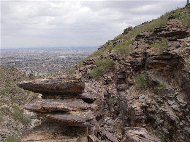
Hoodoos
Location: 33.3453217, -112.0570755
There are few places where you can see hoodos in a major metro area.
©Rich Rudow
South Mountain Color Palette
Location: 33.3458633, -112.0801392
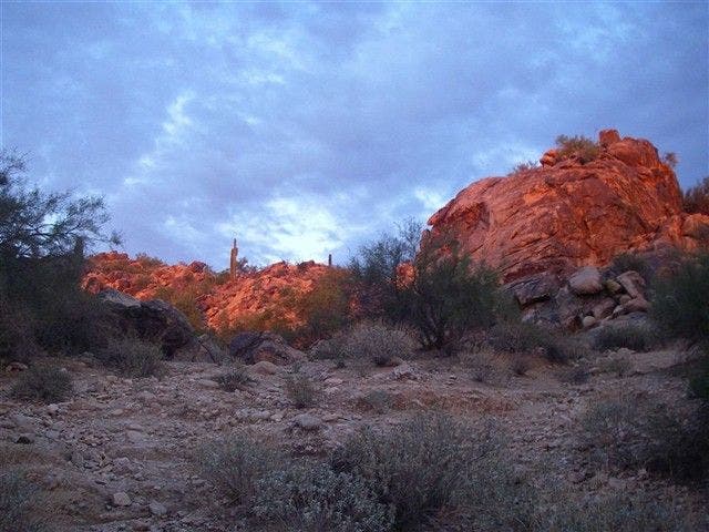
Grey-blue skies, pink-orange rocks, and greenish rocks.
©Rich Rudow
SML001
Location: 33.3516006, -112.0699997
Head W on park road 100 yds. to Box Canyon Trail marker
SML002
Location: 33.3516006, -112.0710983
Turn L off road onto Box Canyon Trail
SML003
Location: 33.3464088, -112.0802994
Take L @ Y in wash where Box Canyon Trail meets the Los Lomitas Trail
SML004
Location: 33.3441811, -112.0784988
Confusing section: Los Lomitas trail crosses road here; continue to official start of Kiwanas Trail and begin climb up to Telegraph Pass
SML005
Location: 33.3282089, -112.0737
Go L for road walk downhill, then R onto marked Telegraph Pass Trail
SML006
Location: 33.3228989, -112.066597
L onto Desert Classic Trail
SML007
Location: 33.3282204, -112.0289001
Take L off Desert Classic Trail and head N to the Corona de Loma Trail
SML008
Location: 33.3338394, -112.030899
Turn L
SML009
Location: 33.3422394, -112.0450974
Intersect road and veer L on National Trail
SML010
Location: 33.3385696, -112.0522995
Go L onto the Holbert Trail up TV Tower Rd. to the Gila Valley Lookout
SML011
Location: 33.3312492, -112.0606995
Gila Valley Overlook (2,660 ft.): Panoramas of Phoenix; backtrack to WPT 10 and turn L onto Holbert Trail
SML012
Location: 33.3429184, -112.0542984
Cross Summit Rd. and head past hoodoo rock formations; return to trailhead on Holbert Trail