Phoenix: Piestewa Peak Loop

Trail Facts
- Distance: 6.5
- Miles from city center: 11
Waypoints
PPK001
Location: 33.5427093505859, -112.015701293945
Follow Trail 8B to the N for a brief stretch down and across dry riverbed
PPK002
Location: 33.5434799194336, -112.015800476074
Turn R @ Y onto Trail 302 (Circumference Trail); head N through saguaro and desert scrub
PPK003
Location: 33.5482482910156, -112.014801025391
Keep L
PPK004
Location: 33.550220489502, -112.014602661133
Turn L @ Y; follow 302, swinging NW
PPK005
Location: 33.5516204833984, -112.016418457031
Continue straight on 302 for a short-but-steep climb
PPK006
Location: 33.5528793334961, -112.018501281738
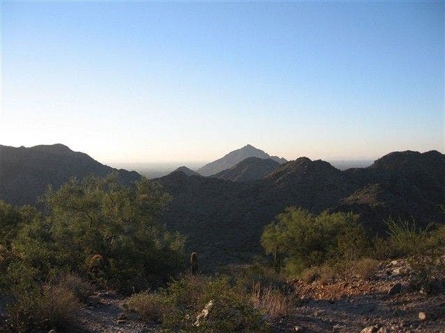
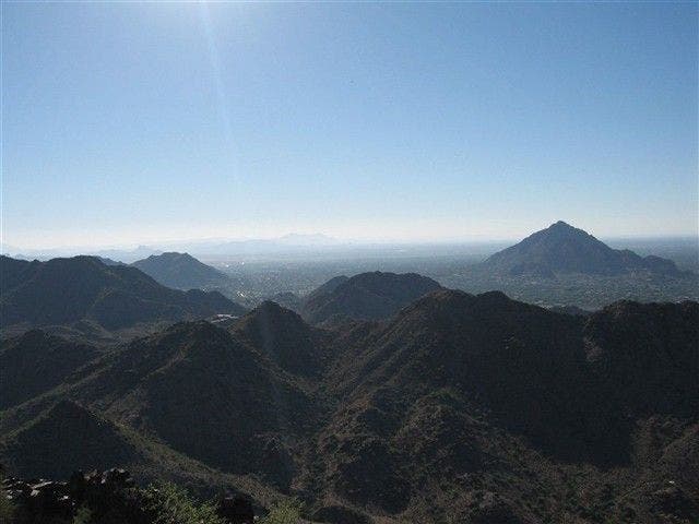
Reach saddle with sweet views into the intricate folds, dips, and ravines of the Phoenix Mountains
PPK007
Location: 33.5520706176758, -112.023498535156
Continue descent into ravine; stay on 302
PPK008
Location: 33.5505218505859, -112.026702880859
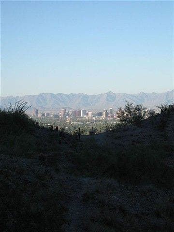
Near second saddle, the Phoenix skyline emerges beyond the dusty foothills
PPK009
Location: 33.5442199707031, -112.027702331543
Veer L; begin trek up switchbacks
PPK010
Location: 33.5431518554688, -112.024597167969
Turn L on Trail 300 for final climb (650 ft.)
PPK011
Location: 33.5475616455078, -112.021202087402
Piestewa Peak (2,608 ft.): Formerly called Squaw Peak, but renamed in honor of a young female soldier killed in Iraq. Postcard panoramas of Valley of the Sun. Backtrack to WPT 10 and turn L onto Trail 300/302, bearing S to continue loop
PPK012
Location: 33.5396499633789, -112.024696350098
L @ Y; continue descent. In .3 mi., go L again to WPT 2; return to trailhead
Rolling Ridge
Location: 33.5528678894043, -112.018478393555
More five-star views from the trail. © Bob Wold
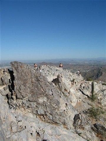
Summit
Location: 33.5475463867188, -112.021186828613
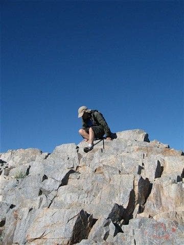
Hikers hang near the craggy summit of Piestewa Peak. © Bob Wold
Rugged Folds
Location: 33.5432777404785, -112.024261474609
This might be one of the best views in town. © Bob Wold
Skyline
Location: 33.5505409240723, -112.026679992676
Scrubby foothills frame the Phoenix skyline. © Bob Wold
Summit views
Location: 33.5474739074707, -112.021018981934
After a hard climb, your reward is this eagle’s eye view of the city. © Bob Wold
Natural Steps
Location: 33.5475463867188, -112.021049499512
See geology at work on Piestewa Peak. The rock layers twist upward, forming natural steps. © Bob Wold