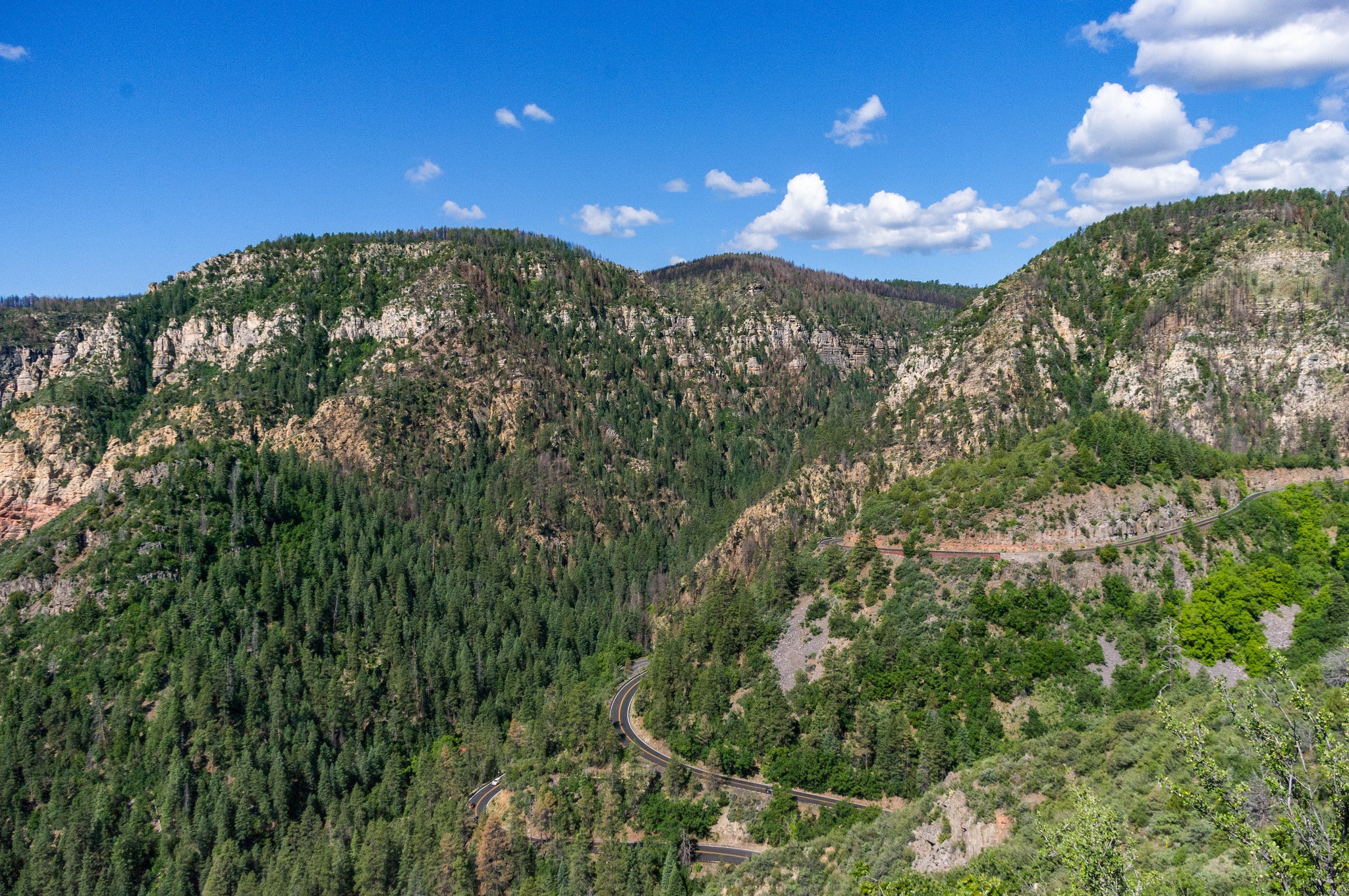
Phoenix: Brins Mesa Trail

'Coconino National Forest'
Trail Facts
- Distance: 5.3
- Miles from city center: 117
Waypoints
BMT001
Location: 34.887279510498, -111.767845153809
Trailhead marked at end of parking lot
BMT002
Location: 34.897388458252, -111.775032043457
Clearing offers fine views of Sedona and Oak Creek Canyon
BMT003
Location: 34.899829864502, -111.778091430664
Steep climb with beautiful views to the S; at mesa top detour R off main trail and follow rim
BMT004
Location: 34.9023628234863, -111.775909423828
Enjoy an island-in-the-sky picnic site above world-class red-rock landscape
BMT005
Location: 34.9035186767578, -111.775604248047
Bear R to continue along mesa rim
BMT006
Location: 34.9043769836426, -111.773963928223
Trail is faint through rocky area; follow the rim
BMT007
Location: 34.905891418457, -111.773704528809
Numerous hoodoos populate opposing cliff face
BMT008
Location: 34.9071044921875, -111.774169921875
Return .8 mile to main trail
BMT009
Location: 34.900318145752, -111.779296875
R @ main trail (near original detour point)
BMT010
Location: 34.9020729064941, -111.782768249512
Canyon views @ L
BMT011
Location: 34.9043350219727, -111.785629272461
Cairn marks side trail to viewpoint
BMT012
Location: 34.904914855957, -111.787956237793
Straight @ intersection with Soldier Pass Trail
BMT013
Location: 34.9088859558106, -111.791648864746
Trail drops sharply through cypress forest; turn around or continue to second car @ Vultee Arch Rd. trailhead