Published September 20, 2013 01:19PM
Phoenix, AZ: Mount Baldy Loop
Hike rolling terrain on one of Arizona's highest mountains.
'4FRI'
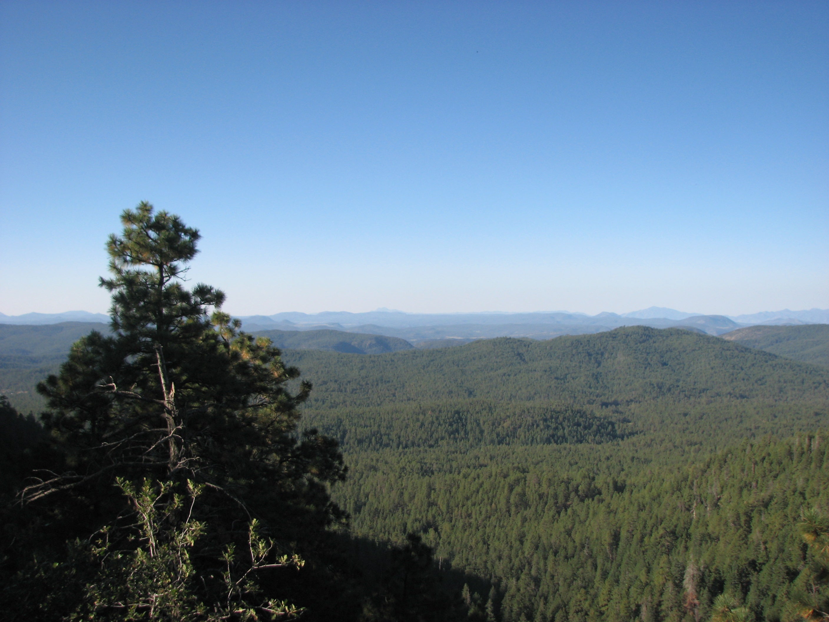
Far from the desert heat, three paths in the Apache and Sitgreaves National Forests form the 18-mile triangle known as the Mt. Baldy Loop. The trail remains flat at first, then increases slope as it branches away from a trickling stream and rises up into the subalpine zone. From the Sheep Crossing trailhead, hike through a deep forest of spruce, fir, and aspen on the West Baldy Trail near the west fork of the Little Colorado River. Steep switchbacks lead to a high ridge where views open to the north and west. About 7 miles from the trailhead, find the East Baldy junction in a small clearing. The summit is open only to Apache tribe members; make a sharp turn and descend 6 miles to the East Baldy trailhead, looking for WWII -era plane wreckage about a mile down. From there, return on the 3-mile Crossover Trail.
Hike provided by Charles Liu, author of 60 Hikes Within 60 Miles: Phoenix (Menasha Ridge Press).
Miles from city center: 223
Waypoints
Sheep Crossing Trailhead
Location: 33.9587822, -109.5160751