Published September 20, 2013 03:25PM
Phoenix, AZ: Dogie Trail
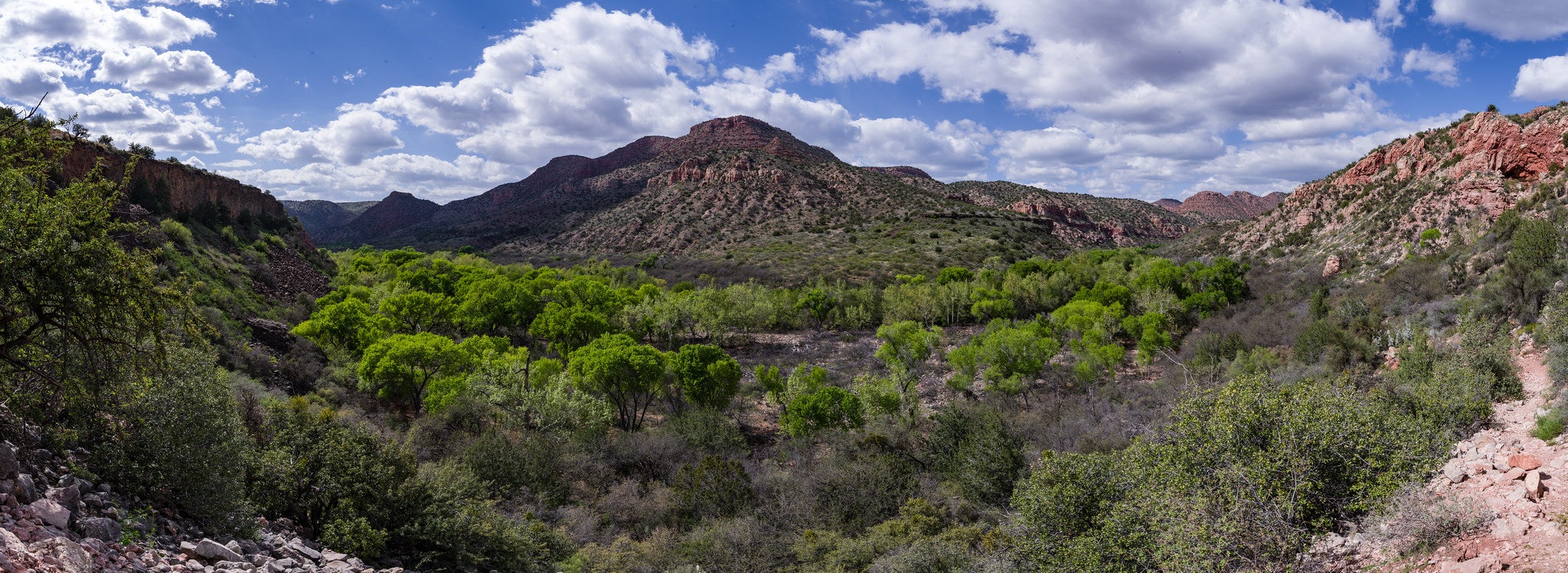
This remote, partly unmarked 10.4-mile route leads to a beautifully carved canyon with high desert views in Sycamore Canyon Wilderness.
'Guy Schmickle'
Trail Facts
- Distance: 8.3
Waypoints
DGT001
Location: 34.9225388, -111.9950638
Trailhead
DGT002
Location: 34.9275436, -111.995285
Gate and trail register @ Sycamore Pass; look W into Sycamore Canyon Wilderness
DGT003
Location: 34.9304581, -112.0047913
Unobstructed view of the canyon ahead
DGT004
Location: 34.9297333, -112.0127869
Trail passes through a barbed-wire fence and skirts a cattle tank
DGT005
Location: 34.9310265, -112.0133057
Trail fades; head N, following cairns
DGT006
Location: 34.9345169, -112.0145874
View of the curvy canyon walls ahead
DGT007
Location: 34.9366188, -112.0197372
Campsite; take a break in the dappled shade
DGT008
Location: 34.9435692, -112.0242462
Multi-hued cliffs ahead provide a cross-section of the ancient geology: red sandstone, white limestone, and brown lava rock
DGT009
Location: 34.9524078, -112.0240707
Trail passes a bend in Sycamore Creek
DGT010
Location: 34.9602318, -112.0222321
Trail rollercoasters over rugged terrain
DGT011
Location: 34.9619522, -112.026535
Descend to creek; lunch spot and turnaround point