Published September 20, 2013 03:16PM
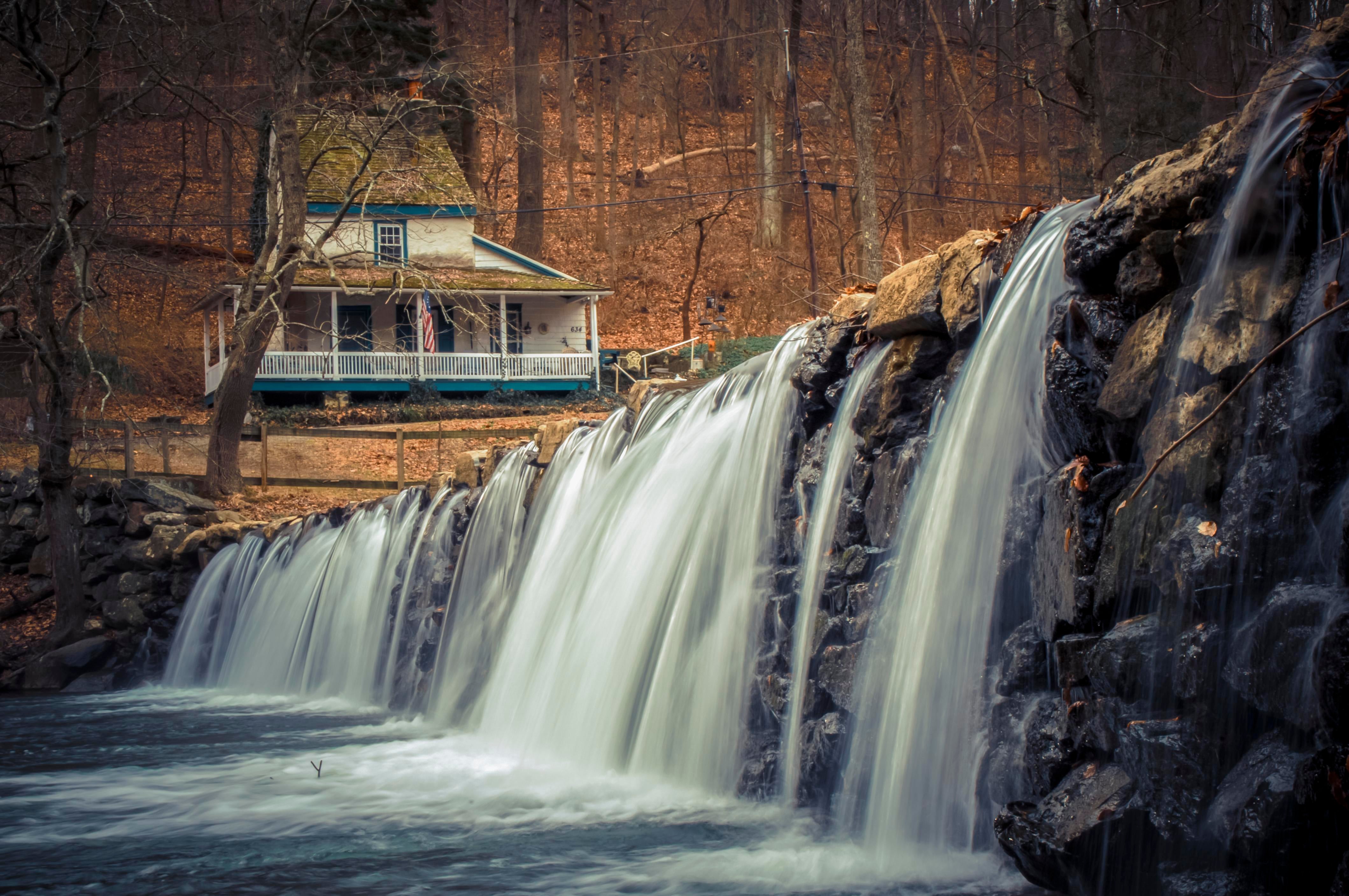
Philadelphia: Ridley Creek State Park
Re-energize yourself on the White-Yellow Loop, a mellow 4.4-mile lasso to a serene picnic spot in this small park just 16 miles from center city.
'Thomas'
Trail Facts
- Distance: 6.7
- Miles from city center: 28
Waypoints
RWY001
Location: 39.9499893188477, -75.4498977661133
Head S on a flat, dirt trail under shady sycamores
RWY002
Location: 39.9480590820312, -75.4485168457031
R onto Sycamore Mills Road Trail
RWY003
Location: 39.9474487304688, -75.4481964111328
Cross multiuse trail, following White Trail uphill and to the R
RWY004
Location: 39.9458885192871, -75.4417419433594
Cross stream, then straight @ Sandy Flash Dr. South to loop NE around picnic area #16
RWY005
Location: 39.9438400268555, -75.4393997192383
Continue uphill on White Trail @ 5-way junction
RWY006
Location: 39.9413414001465, -75.436767578125
Cross Forge Road Trail and head R, staying on White Trail
RWY007
Location: 39.9426002502441, -75.4321975708008
R @ T onto Yellow Trail; eat lunch in pines bor-dering Tyler Arboretum
RWY008
Location: 39.9439392089844, -75.4284591674805
L on Yellow, dip down to gully, cross multiuse trail; steep uphill ahead
RWY009
Location: 39.9473686218262, -75.4337387084961
R @ 4-way on White Trail over ridge down to Ridley Creek
RWY010
Location: 39.9508590698242, -75.4367904663086
L @ Y onto Blue Trail
RWY011
ADVERTISEMENT
Location: 39.9486808776856, -75.4376907348633
R @ 3-way onto Yellow Trail
RWY012
Location: 39.9492111206055, -75.4401397705078
R onto Yellow Trail for 200-ft. ascent
RWY013
Location: 39.9488906860352, -75.4469528198242
L @ Sandy Flash Dr. South; R onto Sycamore Mills Rd. Trail for .2 mi. to WPT 2; retrace route to car