Palm Springs, CA: Big Morongo Canyon Preserve

Mockingbirds, falcons, and wood-warblers are among the 270 species of birds that flock to Big Morongo Preserve, a 31,000-acre wonderland just west of Joshua Tree National Park. Pack a pair of binoculars and a birders’ field guide to explore the 2.6-mile, multi-trail loop that circles the preserve.
Hike in Big Morongo
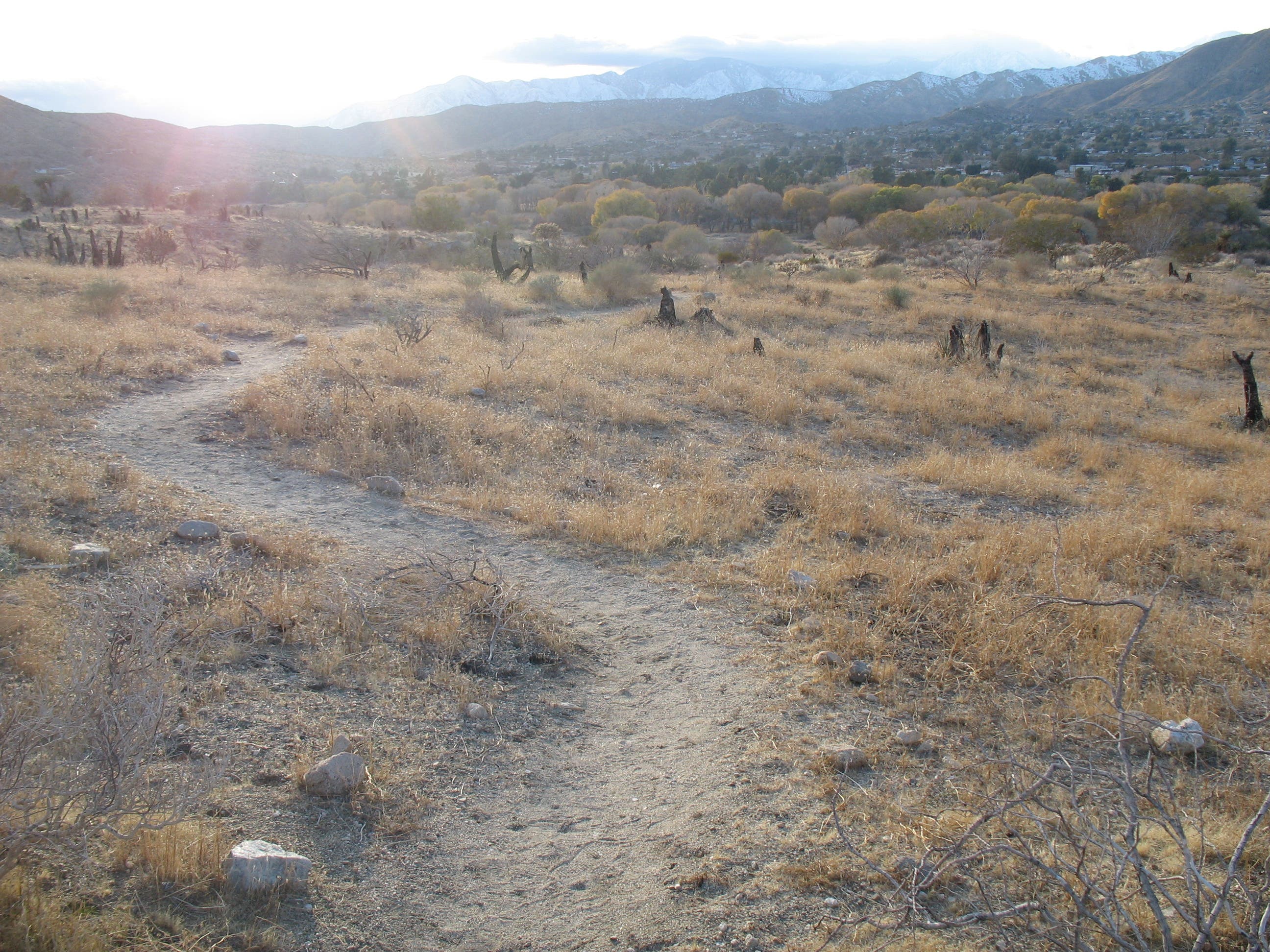
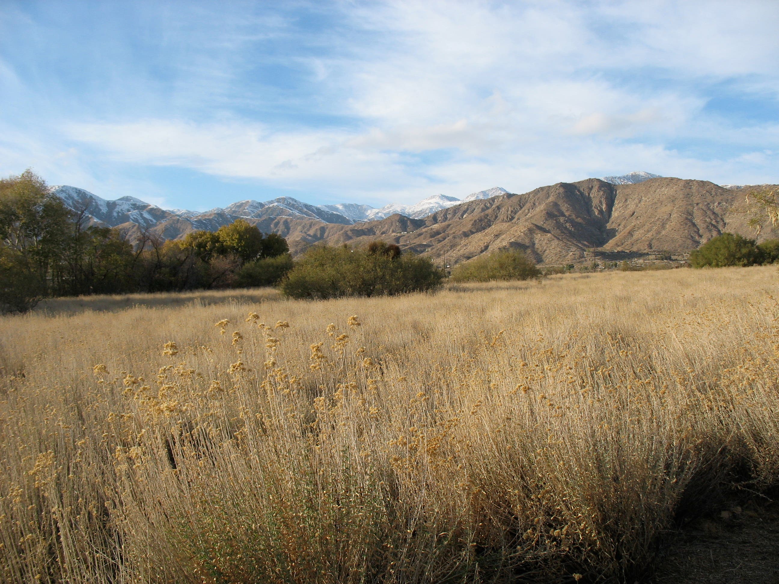
From the trailhead, head northeast for a brief stretch along the Marsh Trail. After 200 feet, bear left onto Desert Willow Trail for a gentle stroll north past alkali goldenbush and a wide variety of desert flora. Less than half a mile into the loop, merge onto Yucca Ridge Trail for a hilltop ramble offering spectacular views of the Little San Bernardino Mountains to the west.
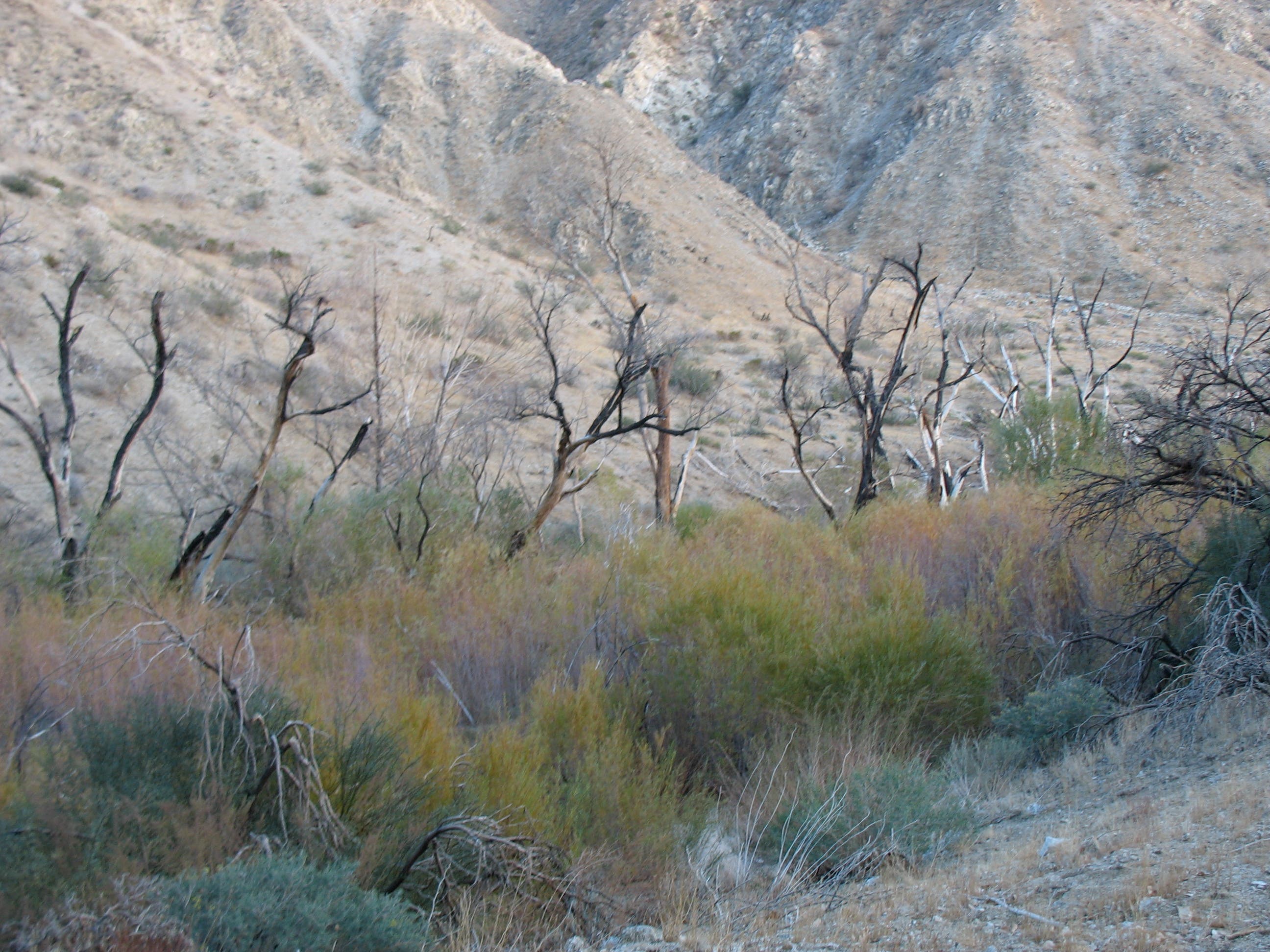
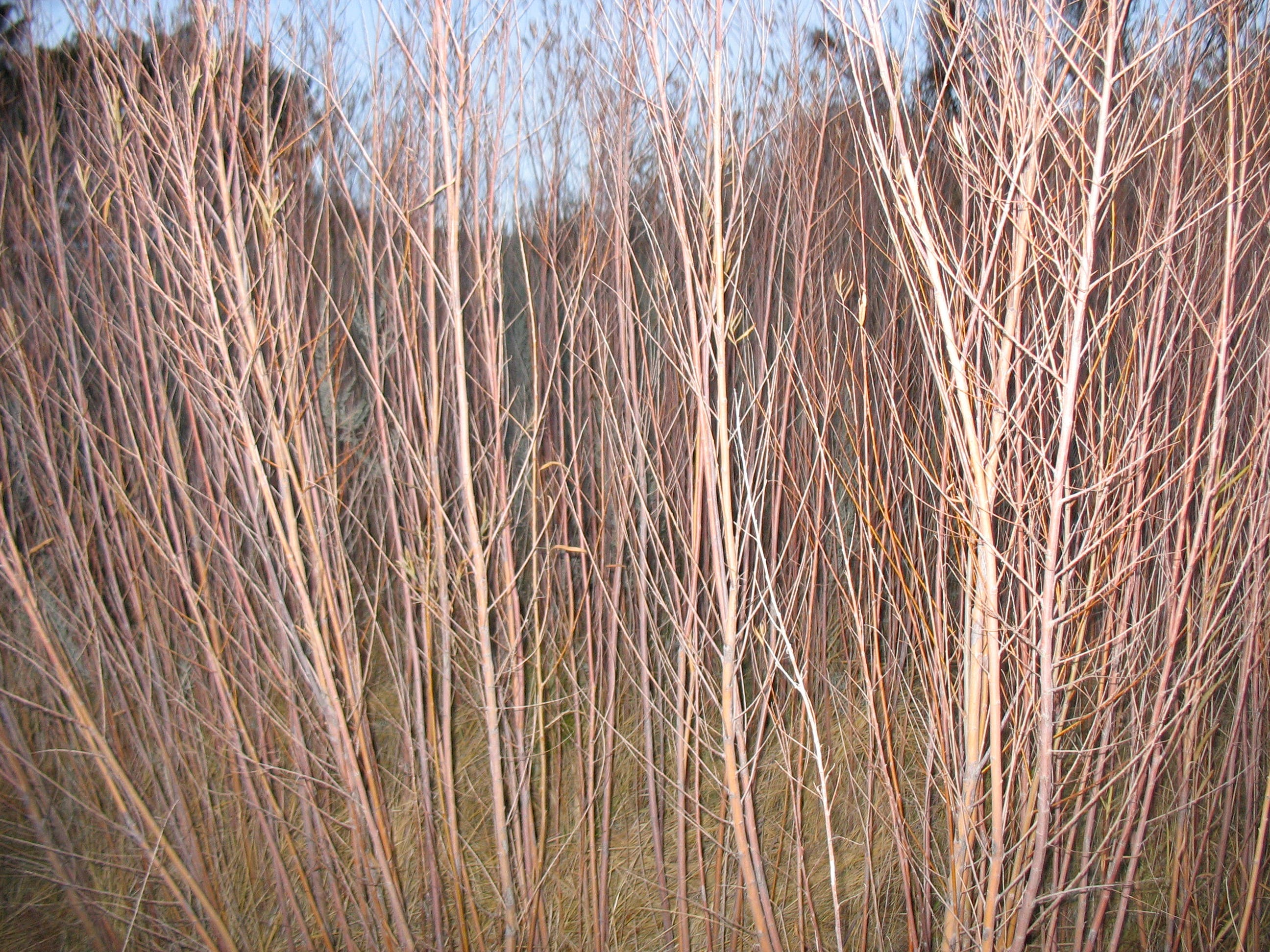
The trail drops into a small canyon midway through the hike, following West Canyon Trail along a creek created by mountain run-off. The charred yuccas and cottonwoods that dot the landscape are eerie reminders of the wildfire that raced through the preserve in June 2005. At mile 1.5, climb out of the canyon, then head north to reconnect with the Mesquite Trail. The hike finishes on the Marsh Trail with a lush and leafy stroll past cattails, red willows, and cottonwoods before returning to the parking area.
Info: Big Morongo Canyon Preserve
-Mapped by Amy Balfour
Trail Facts
- Distance: 4.2
Waypoints
BMP001
Location: 34.0502838, -116.569984
From the parking area, walk southeast to the trailhead, which is well-stocked with trails maps and nature guides. Ahead: Keep an eye out for the 270 species of birds that have been identified in the preserve. The striking vermilion flycatcher is one of the more notable finds (ID tip: Adult males have bright red caps, throats, and underparts).
BMP002
Location: 34.0502349, -116.5698686
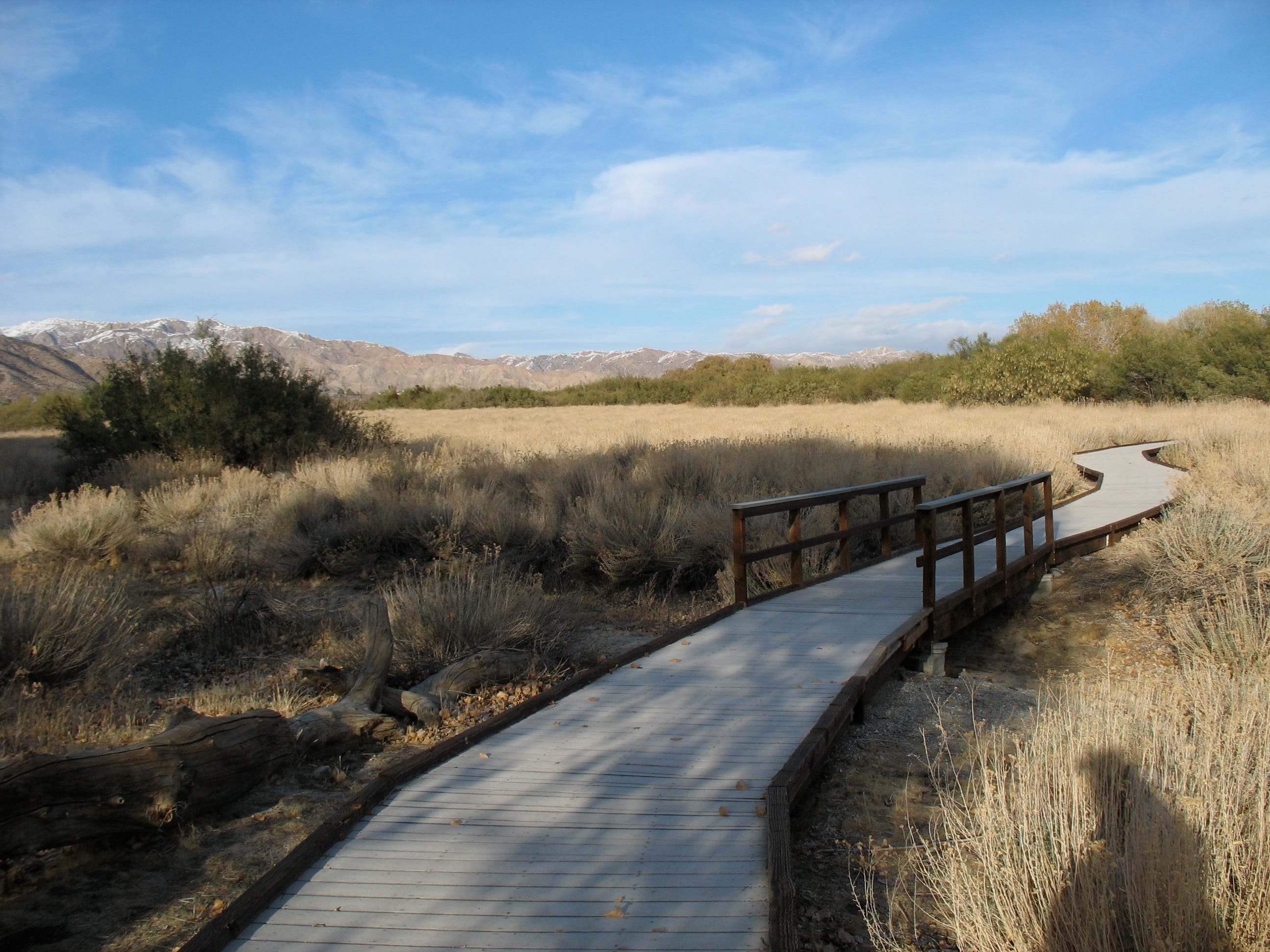
Turn left onto Marsh Trail. Follow a wooden boardwalk past alkali goldenbush. Small signs dot the path here, identifying the plants and making it easier to forget the hum of traffic on nearby CA 62.
BMP003
Location: 34.050546, -116.5693644
Bear left @ Y-junction onto Desert Willow Trail. Marsh Trail continues to the right.
BMP004
Location: 34.052879, -116.566007
Turn left @ 3-way junction onto Yucca Ridge Trail. Take a hilltop ramble that eventually drops into a small canyon. Optional: For a short loop back to the parking lot, bear right on Desert Willow Trail.
BMP005
Location: 34.0506082, -116.5662235
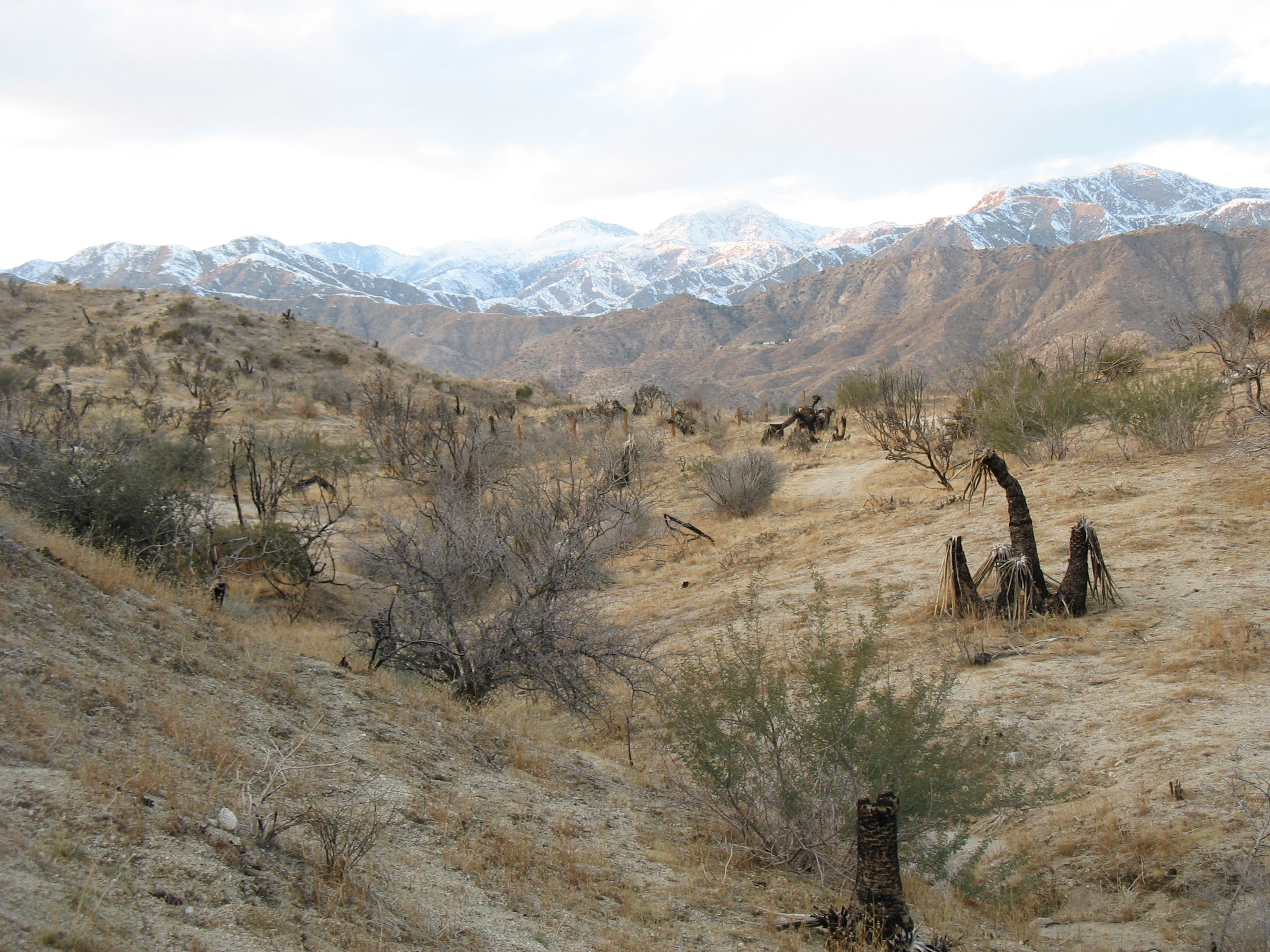
Charred Mojave yuccas dot the ridgeline. The yucca’s were most likely scorched during the 2005 wildfire.
BMP006
Location: 34.0473791, -116.5668297
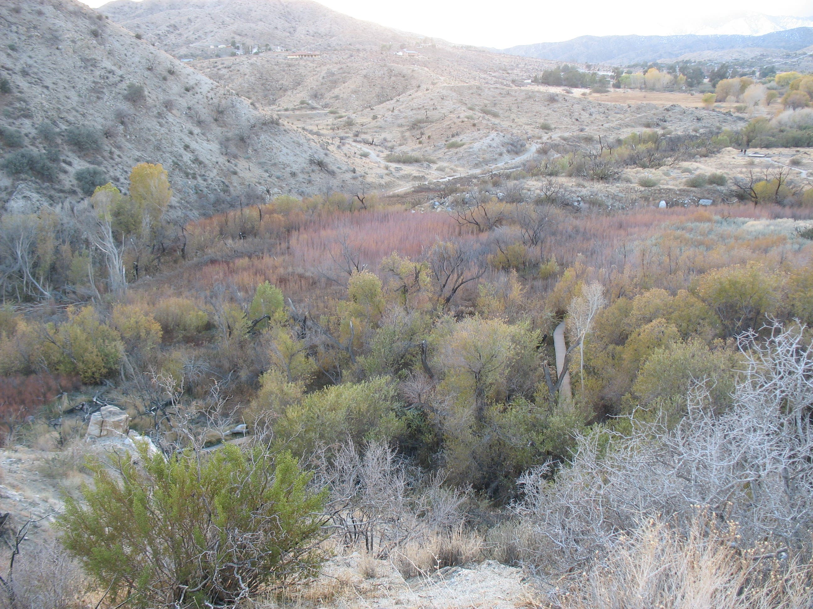
Continue straight @ 3-way on Mesquite Trail. The trail passes a wooden fence and bench perched on the southern edge of the ridge. Look down the ridge to see the vegetation that borders the freshwater marsh. Next, enter a small canyon; the sounds of CA 62 drop away as you descend.
BMP007
Location: 34.0473347, -116.5671811
Turn left, heading south.
BMP008
Location: 34.0469013, -116.5671113
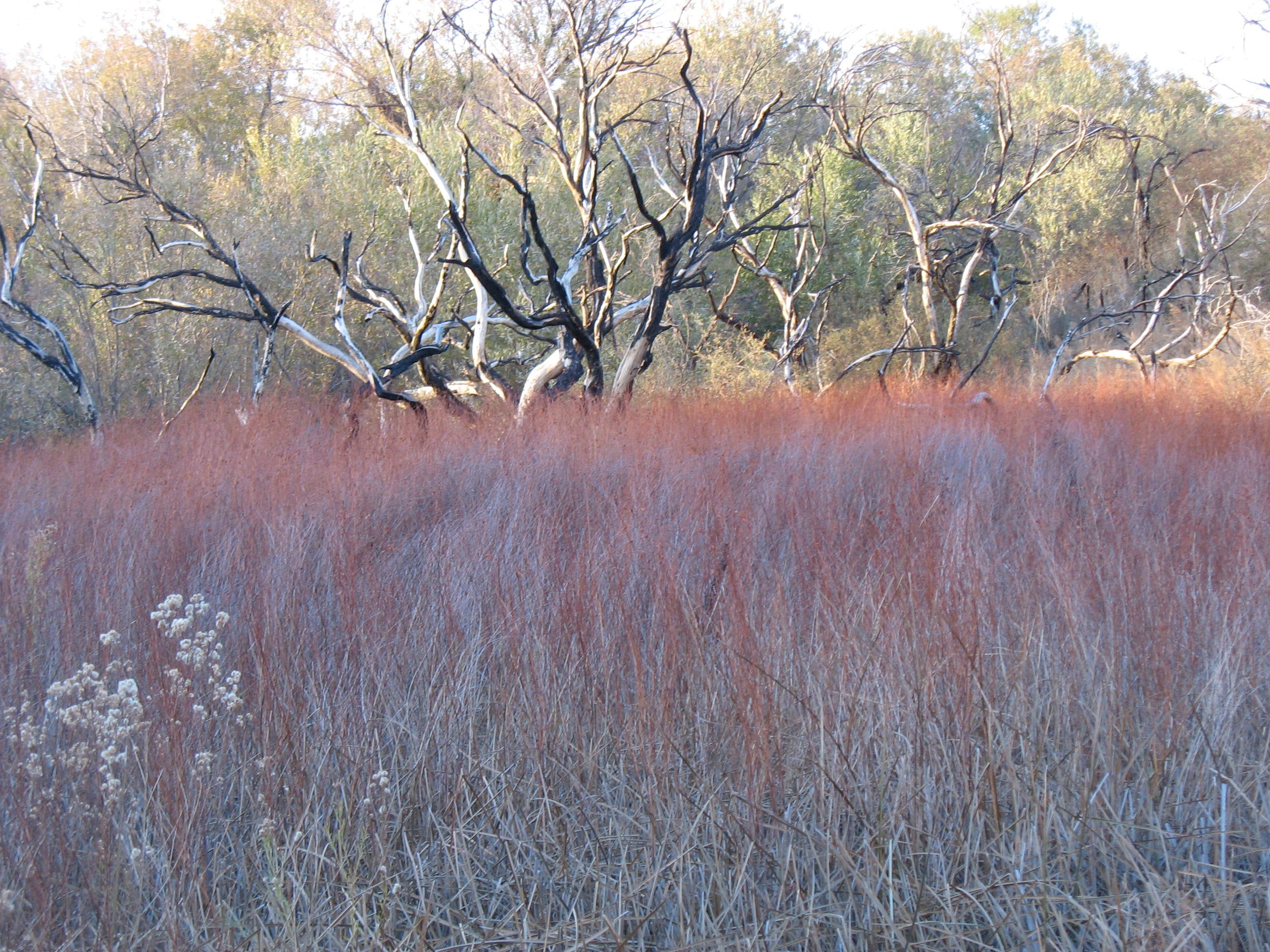
Continue straight @ 3-way on West Canyon Trail. This section of trail parallels a creek notable for its birds and the charred cottonwoods lining its shores.
BMP009
Location: 34.042223, -116.5675217
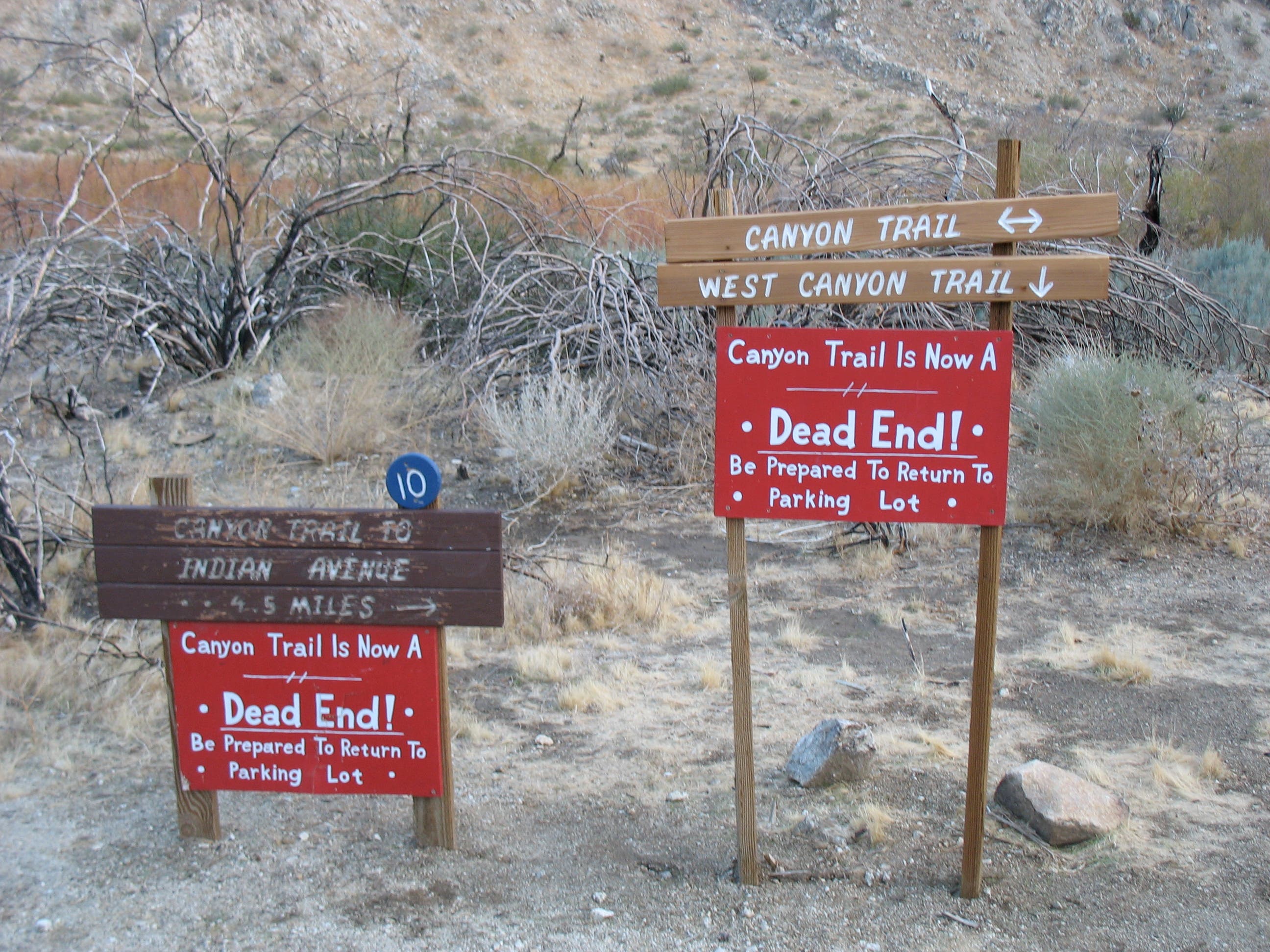
Turn right (west) @ 3-way junction and climb out of the canyon for the return loop back to the parking lot.
BMP010
Location: 34.04704, -116.569372
Turn left onto Mesquite Trail. The trail wanders past burnt cottonwoods, crosses a small bridge, then climbs stone steps past the foundation of a building destroyed by the fire.
BMP011
Location: 34.04822, -116.569027
Turn right onto Marsh Trail and stroll through the heart of the marsh. Ahead, the trail winds through a tunnel of overhanging trees. The lush landscape resembles the Florida Everglades rather than the California desert. Signs along the boardwalk identify the various marsh plants.
BMP012
Location: 34.049995, -116.56828
Turn left on Marsh Trail @ T-junction for the quickest loop back to the parking lot.
Desert Willow Trail
Location: 34.0502304, -116.5698472
View of Little San Bernadino Mountains
Location: 34.0531039, -116.5662825
Trail Junction
Location: 34.0528772, -116.5659446
Charred Yuccas
Location: 34.0506038, -116.5661913
Marsh Views
Location: 34.0467191, -116.5670791
Charred Cottonwoods
Location: 34.0444366, -116.5673715
Burnt Cottonwood in Marsh
Location: 34.0464568, -116.5671167
Longer Ramble Denied
Location: 34.0423252, -116.5674359
Little San Bernadino Mountains
Location: 34.0450411, -116.5699571
Marsh Attacks
Location: 34.0489881, -116.5680313