Cold Springs Campground to Ross Lake Hike: The Best of the Pacific Northwest Trail

"None"
The Pacific Northwest Trail (PNT) was conceived in 1970 by Ron Strickland, a colorful Massachusetts conservationist Backpacker once branded as a “pulpit-pounding evangelist.” His dream rode the crest of the 70s-era backpacking boom until June 1980, when a Congressional study decreed “it is overwhelmingly evident…the trail…is neither feasible nor desirable.” But Strickland rallied supporters—swinging axes and pulaskis—to make the PNT an on-the-ground reality. In the early 2000s, the trail benefited from a happy confluence of changes. It received support from each Washington congressman and senator and found a renewed public interest. A new leader for the Pacific Northwest Trail Association, the passionate yet diplomatic Jon Knechtel, was brought on board. Thirty years after Congress’s snub, the 2009 Public Lands Omnibus Management Act designated the PNT a National Scenic Trail. It had entered the pantheon.
Trail Facts
Distance: 120 miles
Elevation Gain: 18,591 feet
Difficulty: Challenging
The Hike from Cold Springs Campground to Ross Lake
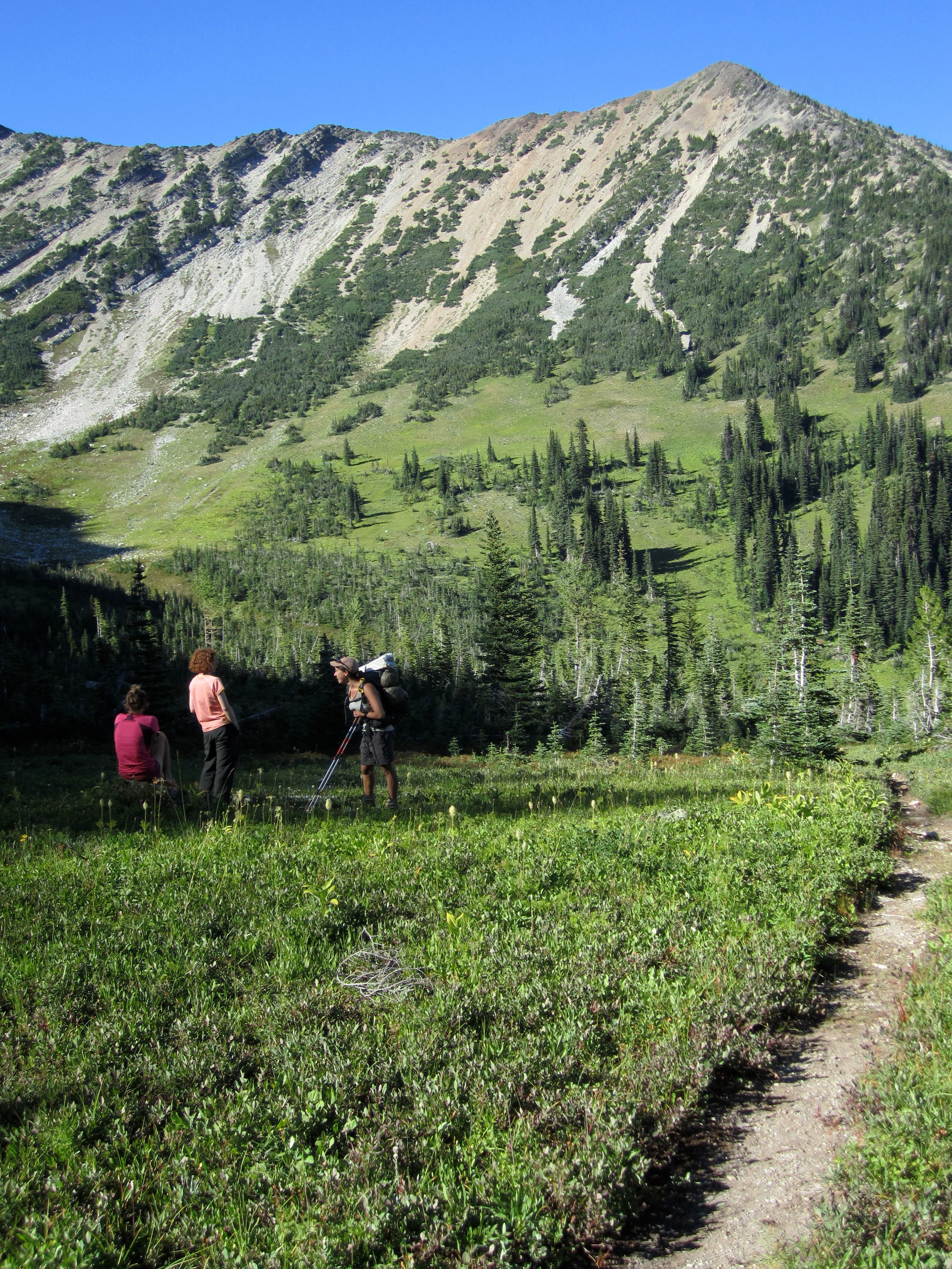
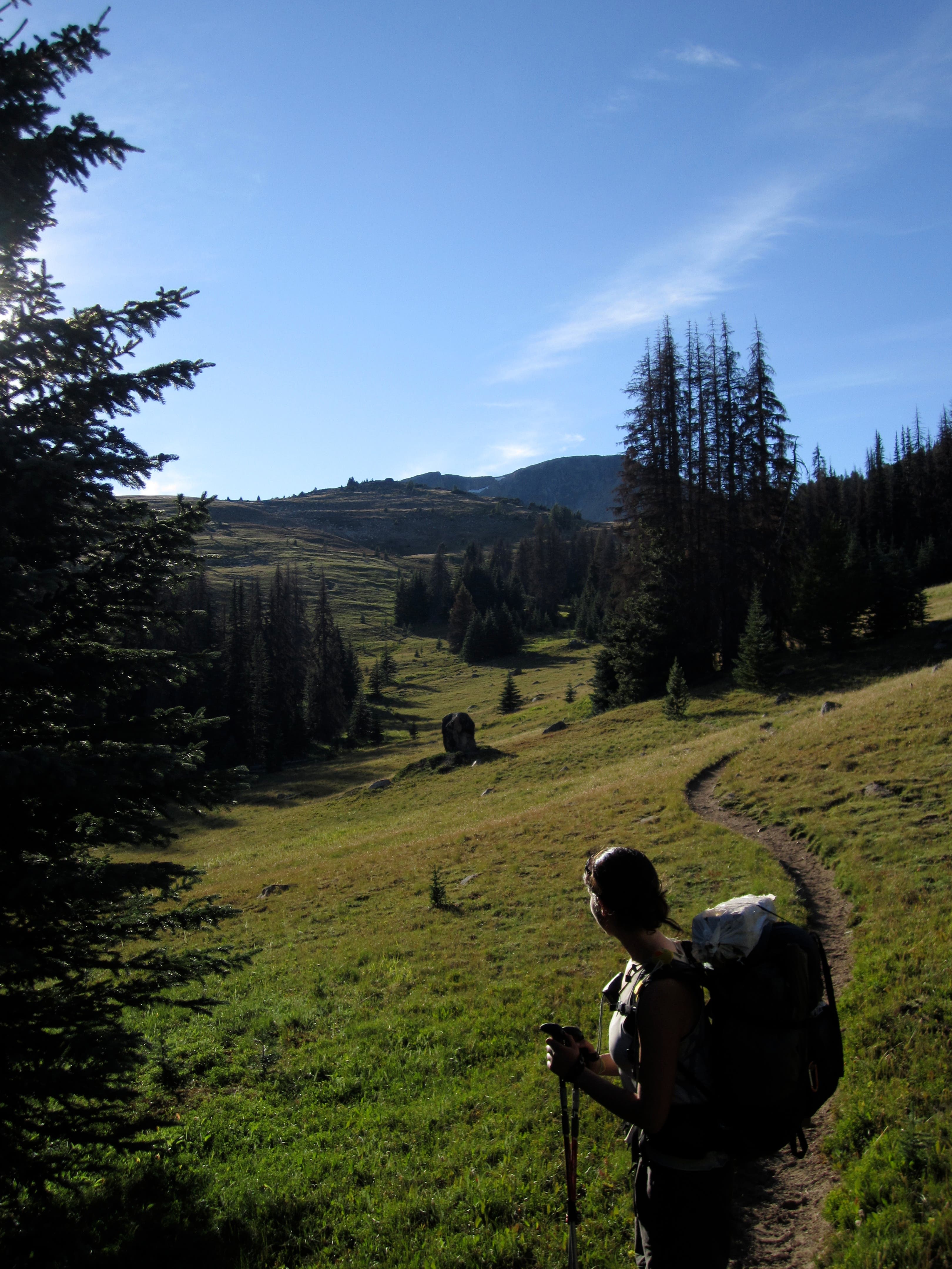
This instant 1,200-mile classic starts in Glacier National Park at Upper Waterton Lake, then punches west through the Rockies, Selkirks, North Cascades, and Olympic Mountains to Olympic National Park at Cape Alava, the westernmost point of the Lower 48. The section between Cold Springs Campground and Ross Lake hits the trail’s finest miles. This 120-mile roadless stretch—the Lower 48’s longest such track outside of the John Muir Trail—crosses Washington’s remote Pasayten Wilderness.
Why You’ll Love This Hike
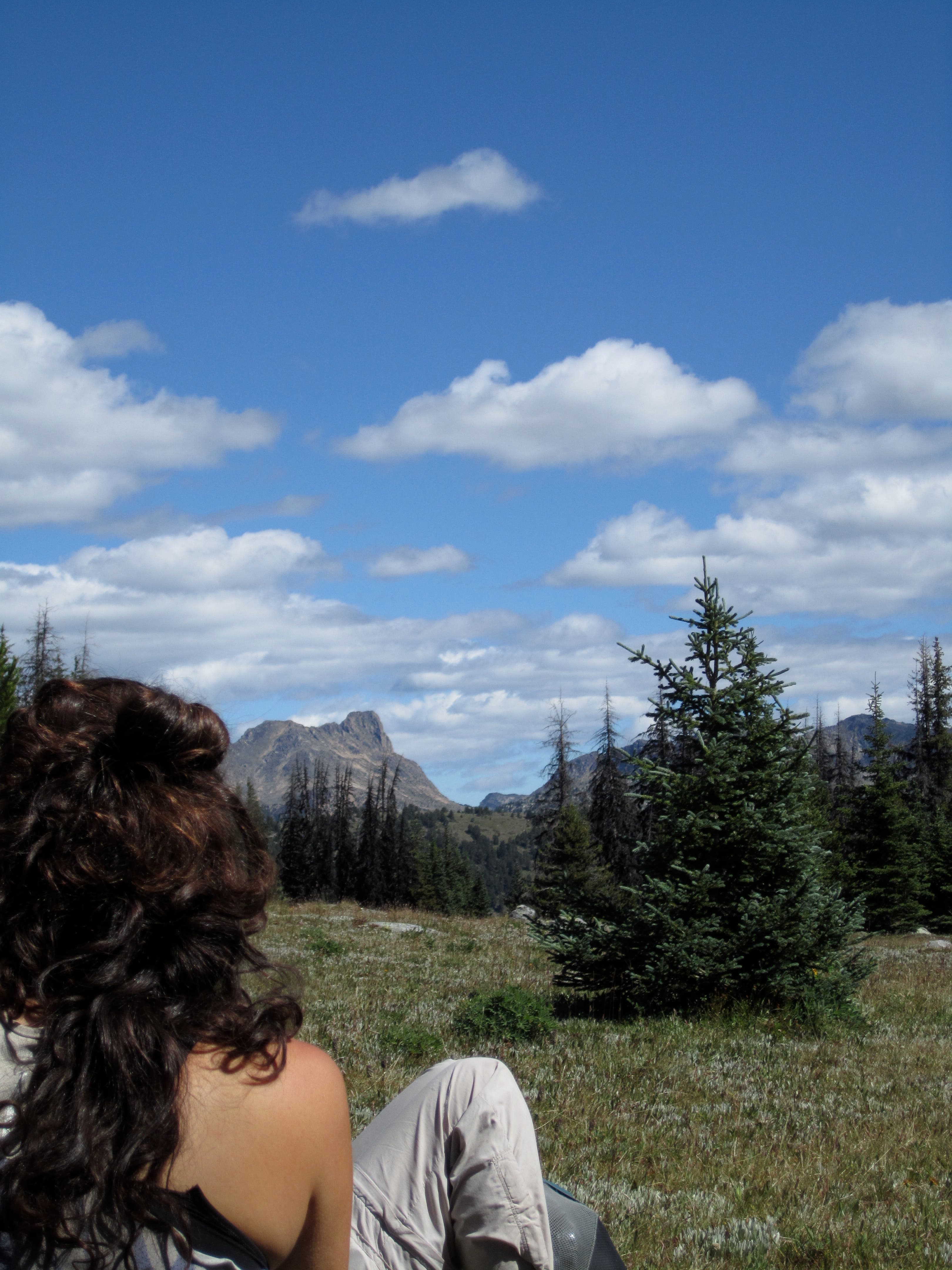
The 120-miler from Cold Springs Campground to Ross Lake’s East Bank trailhead is filled with beautiful views of peaks, adventures through passes, and hikes across large wilderness areas and natural preserves. Here’s what you can look forward to along this hike:
Peaks and Passes
- Horseshoe Mountain, Horseshoe Pass, and Horseshoe Basin
- Pick and Arnold peaks
- Teapot Dome
- Bauerman Ridge: View as trail traverses south flank of Baurerman ridge, a top 10 along the entire PNT.
- Cathedral Peak and Cathedral Pass
- Bald Mountain
- Peeve Pass
- Great Cascades View noted as one of the PNT’s Top 10.
- Quartz Mountain
- Bunker Hill
- Castle Pass and Campsite
- Hopkins Pass
- Devil’s Staircase
- Woody Pass
- Rock Pass
- Sky Pilot Pass
- Devil’s Pass
- Stunning view west of Jack Mountain and its glaciers.
- Devil’s Dome: Get that camera out on top of this one!
- Day Creek Pass
Natural and Wilderness Areas
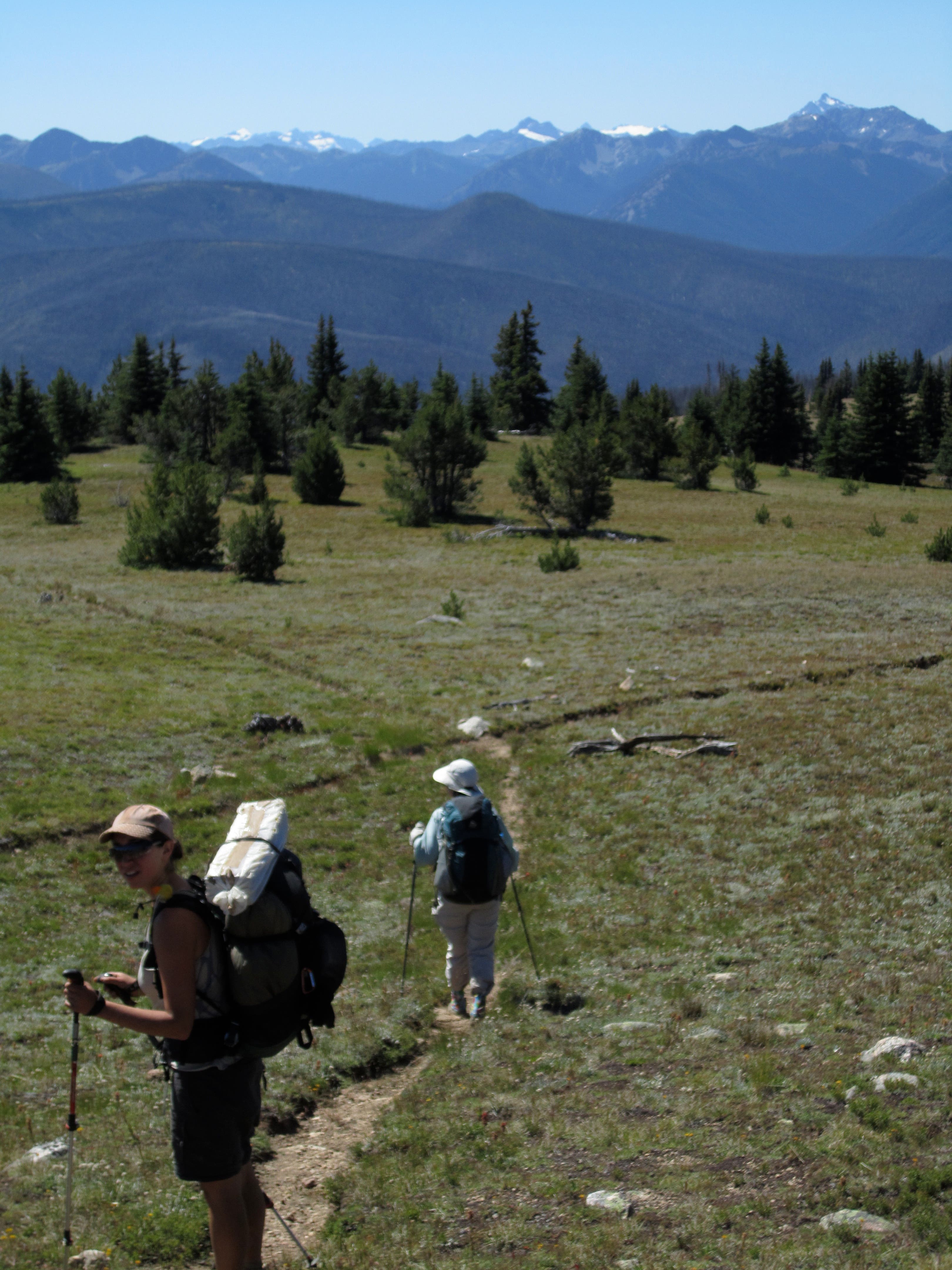
- Loomis Natural Resource Conservation Area is 24,672 acres, the largest in the state.
- Chopaka Mountain Natural Area Preserve
- Pasayten Wilderness
- Ross Lake National Recreation Area (permit for overnight camping required).
Lakes and Rivers
- Loudon Lake
- Remmell Lake
- Ashnola River
- Pasayten River
- Harrison Creek
- Holdover Creek
- Burn Creek
- Thompson Creek
- Soda Creek
- Frosty Creek (Frosty Lake is nearby but not visible from the trail)
- Alder Creek
- Ruby Creek
What makes this hike unique?
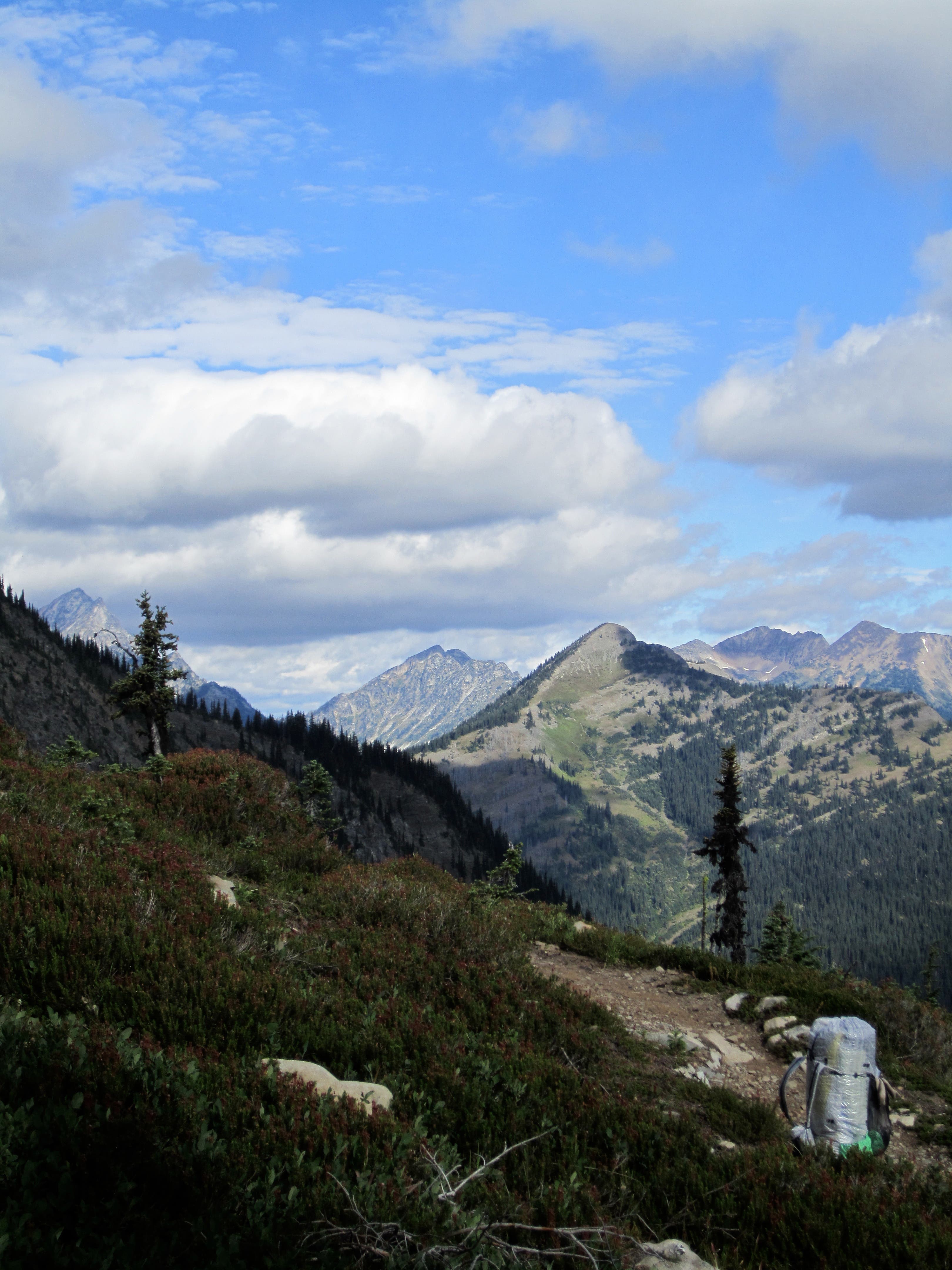
This route has 110 miles of roadless trail—no road walking, no cars. Except for a dirt Jeep track that runs along Bunker Hill and over into Canada, the trail is all you’ll see for the majority of the hike.
Parking and Logistics
Where to Park
Trailhead parking on the eastern side of the hike is at Cold Springs Campground and requires a $30 Annual Washington Discover Pass. On the western side, you can park at Ross Lake National Recreation Area for free but need to pick-up a permit at the ranger’s station prior to your trip.
Permits
All overnight stays within North Cascades National Park and Ross Lake National Recreation Area require a backcountry permit.
Trailhead
Coordinates: 48.9402, -119.7939
From the Cold Springs Campground walk up road 300 yards to the Loomis Natural Resource Conservation Area. Ahead on the road to the left is the Cold Springs day use area. Begin your hike on the Chopaka Mountain Trail aka the PNT.