Pacific Crest Trail: WA Section 9

Trail Facts
- Distance: 65.1
Waypoints
PCT1614
Location: 47.7476997375488, -121.088096618652
Head NE from Stevens Pass
PCT1615
Location: 47.7745170593262, -121.109634399414
Cross creek
PCT1616
Location: 47.7797012329102, -121.11336517334
Pass nice camp near creek
PCT1617
Location: 47.8065986633301, -121.086364746094
Go L toward Union Gap @ jct. with Smithbrook Trail
PCT1618
Location: 47.8207168579102, -121.095169067383
Cross cascading creek
PCT1619
Location: 47.8239517211914, -121.09839630127
Continue straight or take spur on R to stock camp by Lake Janus
PCT1620
Location: 47.8292999267578, -121.114753723145
Camp with water
PCT1621
Location: 47.845817565918, -121.154518127441
Pass a single campspot on summit of Grizzly Peak; superb hiking and views on this ridge system
PCT1622
Location: 47.878833770752, -121.158782958984
Top Lake Trail; stay left
PCT1623
Location: 47.8791160583496, -121.165901184082
Meadow Creek Trail; stay R at Pear Lake
PCT1624
Location: 47.9126167297363, -121.177764892578
Creek with nice grassy camp
PCT1625
Location: 47.9235992431641, -121.184997558594
Stay straight @ jct. with West Cady Ridge Trail
PCT1626
Location: 47.9282493591309, -121.177749633789
Bear R; Pass Creek Trail enters from the L
PCT1627
Location: 47.9321670532227, -121.173416137695
Bear L @ jct. with Cady Creek Trail
PCT1628
Location: 47.9546012878418, -121.157615661621
Cross creek below Skykomish Peak; trail curves to the NE
PCT1629
Location: 47.9606819152832, -121.152618408203
Cross outlet of Lake Sally Ann
PCT1630
Location: 47.9639511108398, -121.146598815918
Veer L @ jct.; head NW towards Wards Pass
PCT1631
Location: 47.9772491455078, -121.148719787598
Bear R where 2 trails enter from the L; continue heading NE
PCT1632
Location: 47.9843673706055, -121.135269165039
Continue straight @ jct. with Little Wenatchee Trail
PCT1633
Location: 47.988468170166, -121.124786376953
Cross creek
PCT1634
Location: 47.9973983764648, -121.121116638184
Stay straight @ Indian Creek Trail jct.
This point marks the start of the official detour as outlined by the forest service in the PCT Data Book. The official PCT is on the L; much of the trail and all of the bridges were destroyed and it is officially “impassable.”
PCT1635
Location: 48.0146484375, -121.128547668457
Bear L @ jct. with White River Trail; this is the start of the Johnathan Ley alternate
PCT1636
Location: 48.0179672241211, -121.129150390625
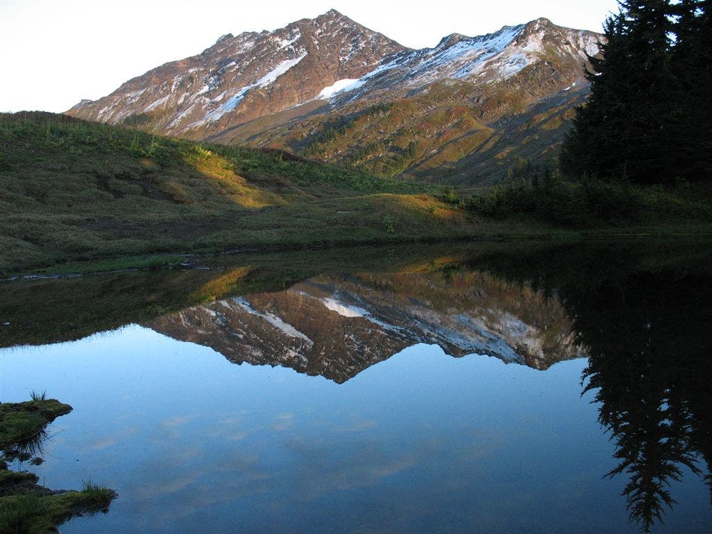
Set up camp @ Reflection Lake
PCT1637
Location: 48.036548614502, -121.156936645508
Creek crossing
PCT1638
Location: 48.0364990234375, -121.157867431641
Stay R @ Y
PCT1639
Location: 48.0675315856934, -121.157386779785
Creek crossing
PCT1640
Location: 48.0723342895508, -121.153984069824
Cross creek
PCT1641
Location: 48.0739822387695, -121.15503692627
Log crossing upstream of trail
PCT1642
Location: 48.0755844116211, -121.155799865723
PCT @ destroyed bridge
PCT1643
Location: 48.1089668273926, -121.178413391113
Bear R @ Y
PCT1644
Location: 48.1164169311523, -121.176567077637
Continue NE toward Kennedy Creek
PCT1645
Location: 48.1238174438477, -121.171585083008
Cross Kennedy Creek;
PCT1646
Location: 48.1223182678223, -121.177131652832
Stay straight @ jct on Kennedy Ridge to continue on PCT; to leave PCT, head downhill on Kennedy Ridge to Kennedy Hot Spring, then out along White Chuck River to Owl Creek Campground for road access.
More PCT: Next Section | Previous Section
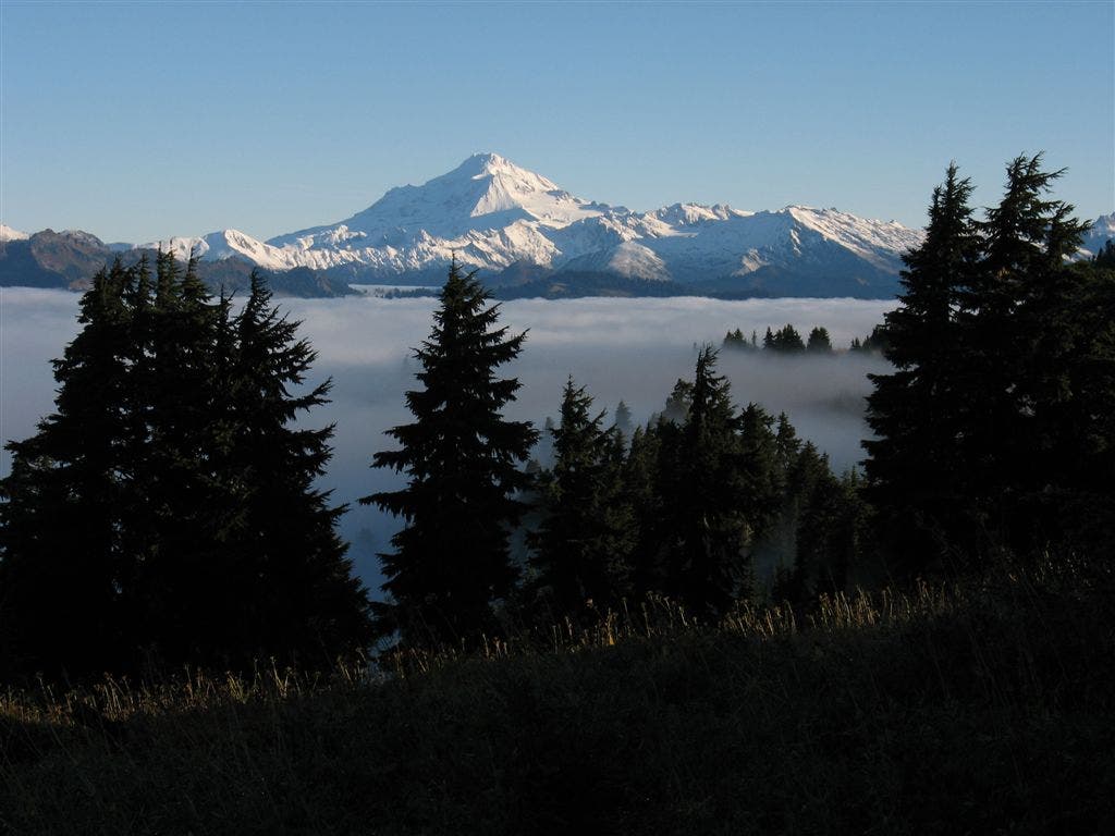
Ridge Views
Location: 47.8488998413086, -121.154708862305
Views north of Grizzly Peak ©Jack Haskel
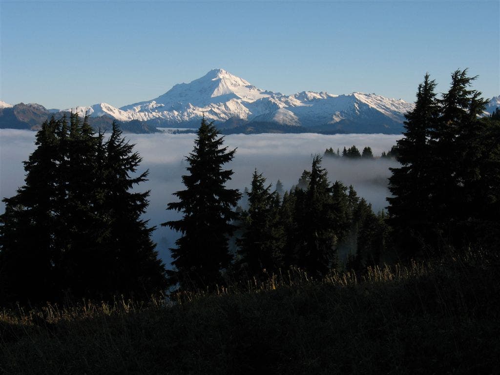
Ridge Views
Location: 47.8481483459473, -121.155136108398
Views north of Grizzly Peak ©Jack Haskel
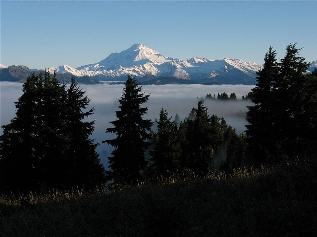
Ridge Views
Location: 47.8474006652832, -121.155456542969
Views north of Grizzly Peak ©Jack Haskel
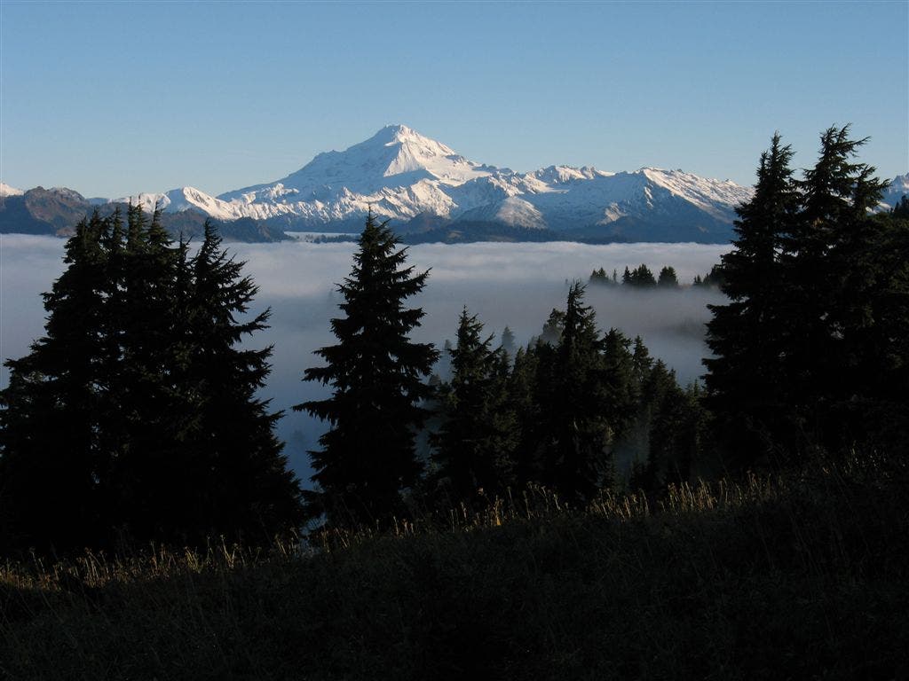
Ridge Views
Location: 47.8467559814453, -121.155570983887
Views north of Grizzly Peak ©Jack Haskel
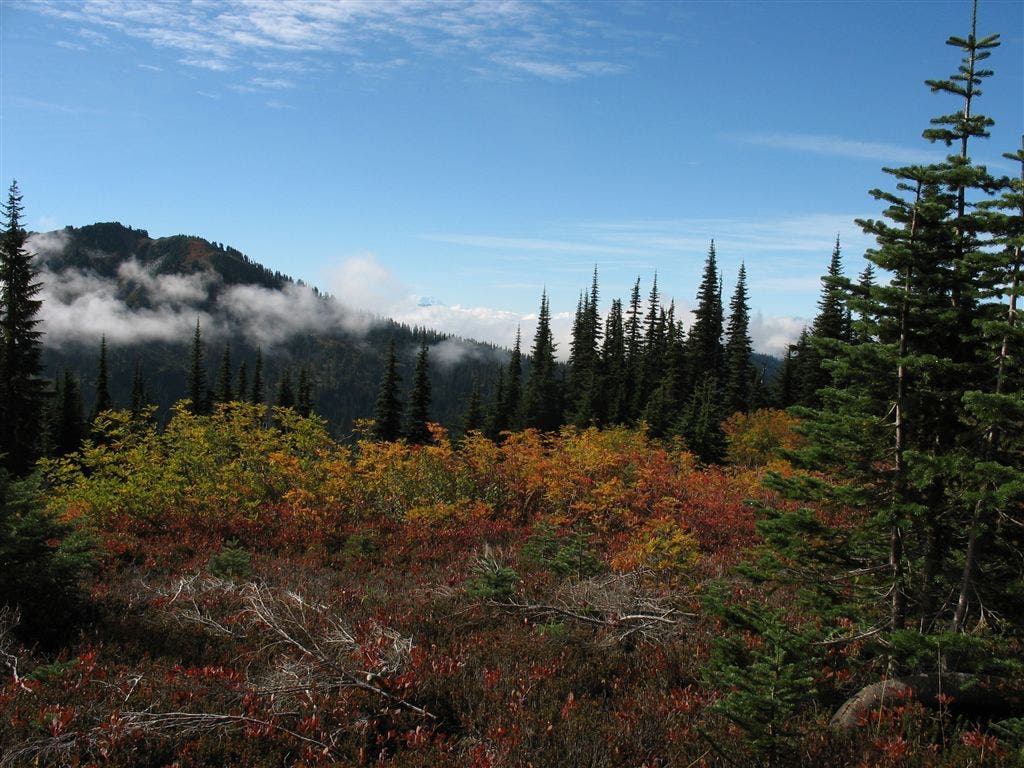
Multihued foliage
Location: 47.8705863952637, -121.154823303223
An explosion of color. ©Jack Haskel
Lakelet
Location: 48.0117645263672, -121.129829406738
©Jack Haskel
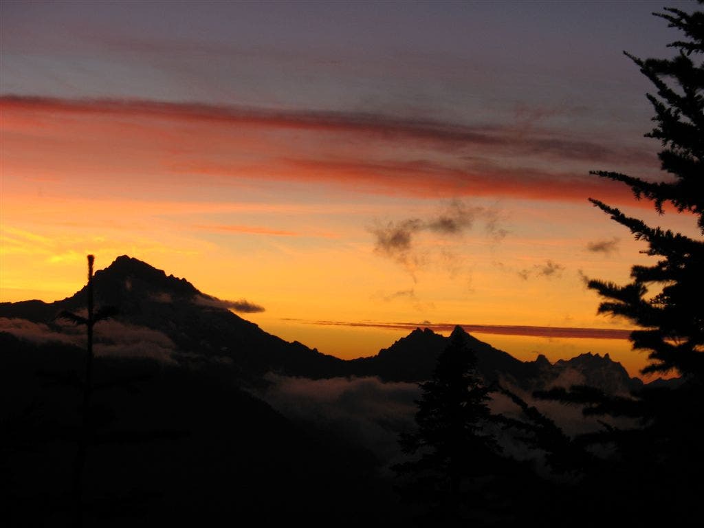
Blazing sky
Location: 48.0470161437988, -121.175254821777
©Jack Haskel
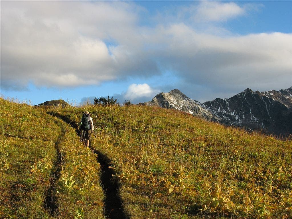
Hills and peaks
Location: 48.050407409668, -121.165084838867
©A PCT’ers strides through golden hillsides. ©Jack Haskel
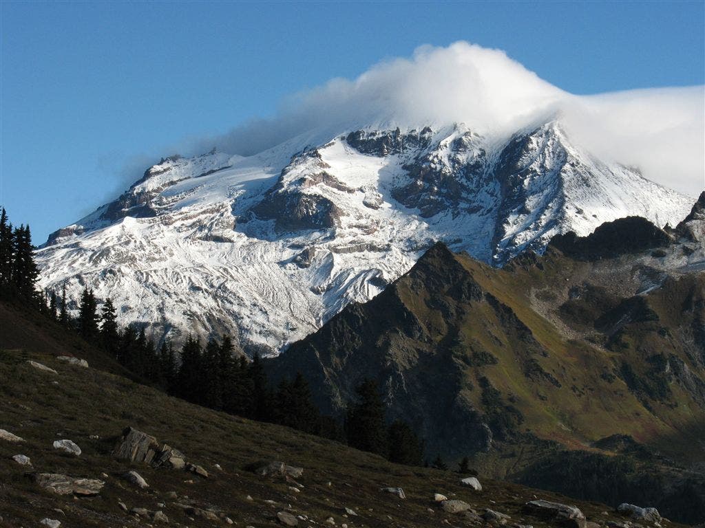
Cloud-covered peak
Location: 48.1222534179688, -121.167686462402
Hulking Glacier Peak shrouded in mist. ©Jack Haskel